The best road cycling routes around Maicas
5.0
(2)
69
riders
12
rides
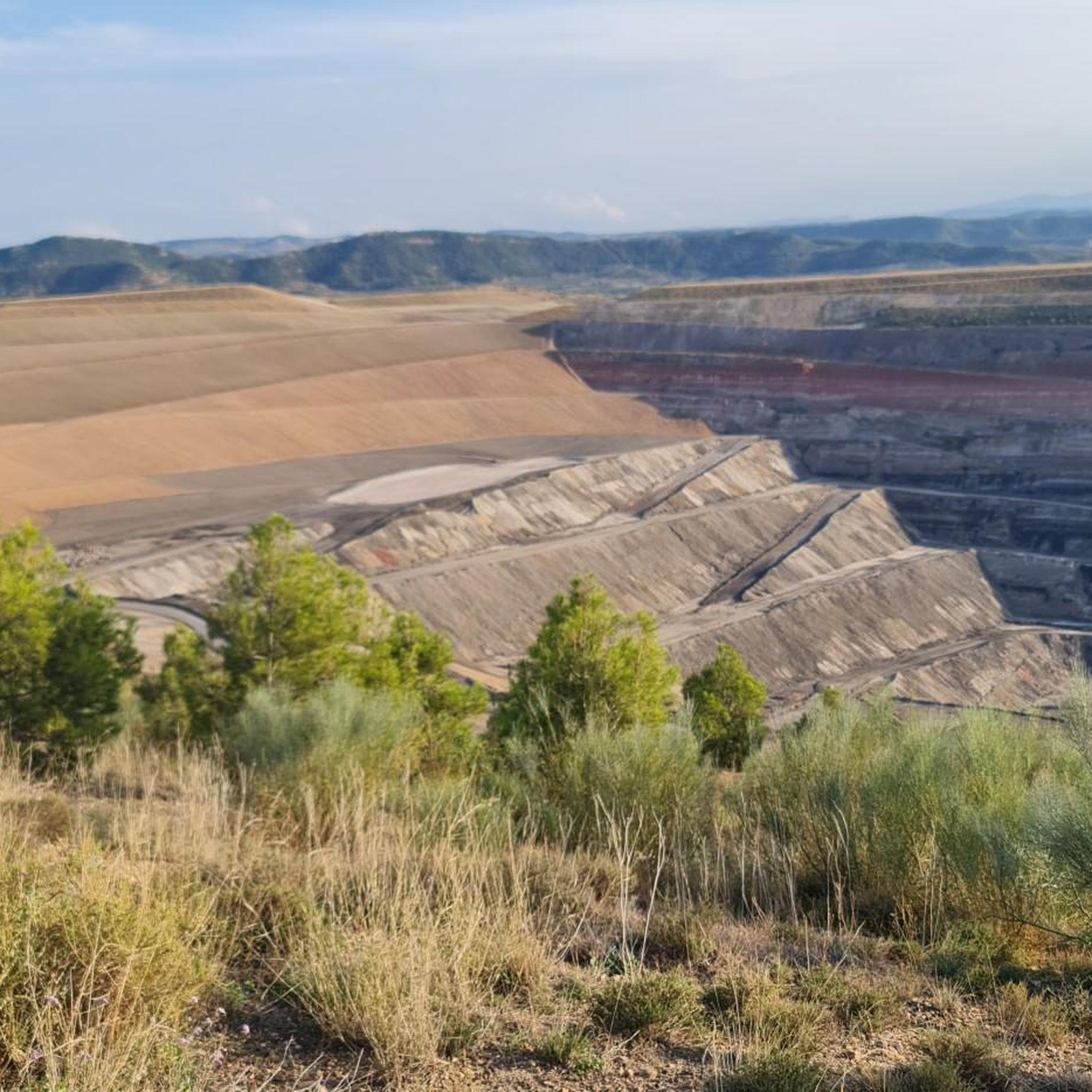
Road cycling around Maicas features routes that traverse varied terrain, including mountain ranges and hills. The region's landscape is characterized by significant elevation changes, with routes often including mountain passes. These paths offer opportunities to experience the local topography, which includes both challenging climbs and more moderate sections. The area provides a diverse environment for road cyclists.
Best road cycling routes around Maicas
- The most popular road cycling route is Moneva, Oliete, and Muniesa Loop, a 41.6 miles (66.9…
Last updated: July 1, 2026
6
riders
67.0km
03:09
880m
880m
This moderate 41.6-mile (67.0 km) road cycling route through Moneva, Oliete, and Muniesa offers dry heaths and reservoir views.
1
riders
106km
04:55
1,330m
1,330m
Hard road ride. Very good fitness required. Mostly well-paved surfaces and easy to ride.

Sign up for free
17
riders
141km
06:49
2,030m
2,030m
Hard road ride. Very good fitness required. Mostly well-paved surfaces and easy to ride.
5.0
(2)
11
riders
Moderate road ride. Good fitness required. Mostly well-paved surfaces and easy to ride.
8
riders
76.7km
03:36
880m
880m
Moderate road ride. Good fitness required. Some segments of this route may be unpaved and difficult to ride.
Get access to more routes and recommendations from other explorers.
Sign up for free
Already have an account?
Our route recommendations are based on thousands of hikes, rides, and runs completed by other people on komoot.
Start today with a free account
Your next adventure awaits.
Login or Signup
Popular around Maicas

Tips from the Community

Spectacular if you go up the Olaya side
1
0

Martín del Río is a small town in the Teruel Mining Basins, surrounded by mountains and crossed by the Martín River. Its town center preserves the Baroque Church of the Assumption and the Mudejar Hermitage of the Saints, which are heritage landmarks of the area. Cyclists are drawn to the natural surroundings, with routes leading to the Hocino de la Rambla and the Pajazo Gorge, where waterfalls, pools, and historical remains carved into the rock can be seen. Furthermore, routes such as the GR-262 and the Camino del Cid pass through the town, making it a good place to rest and explore.
1
0
Huesa del Común is a small town in the Cuencas Mineras region, located in a spectacular setting next to the Aguasvivas River, which forms a limestone canyon ideal for climbing and via ferrata. The remains of the Peñaflor Castle, of Muslim origin, rise on a rocky outcrop, and a late medieval bridge stands out in the town center. The town is also known for its pottery-making tradition, vestiges of which can still be seen in the Las Ollerías neighborhood.
1
0
Monforte de Moyuela is a small village in the Jiloca region of Teruel, located at an altitude of over 1,000 meters and surrounded by the Oriche mountain range. It preserves remains of its 12th-century castle and a Roman dam, as well as several chapels and the parish church of La Asunción, rebuilt in the 19th century after the Carlist Wars. The town is part of the Route of El Cid, which makes it even more attractive for those cycling along historic, less-traveled paths. The terrain is mountainous, and it's advisable to bring good equipment and plenty of water, as services are limited in the area.
1
0

Images are there for a reason...take a photo and find out what they mean to you
0
0

A city of transit since ancient times, Calamocha stands in the middle of the extensive plain of the Jiloca, on the right bank of the river. Its excellent geographical situation led to its being an important fortified enclave in the past. In fact, it was the city of El Cid passing through on his way to Valencian lands.
9
0

Another of the idyllic places in the province of Teruel that bike lovers should know. The Port of Rudilla, located between the towns of Fonfría and Rudilla, offers magnificent views of deep Teruel and nearby, trenches from the civil war were found.
1
0
We are in a beautiful Teruel town located in the Cuencas Mineras region with about 81 inhabitants in 2020. Do you dare to discover the reason for the town's name? It is a curious story.
1
0
Frequently Asked Questions
How many road cycling routes are available around Maicas?
There are over 10 road cycling routes documented on komoot for the Maicas region. These routes primarily feature varied terrain, including mountain ranges and hills, with significant elevation changes.
What kind of terrain can I expect when road cycling in Maicas?
Road cycling around Maicas is characterized by routes that traverse varied terrain, including mountain ranges and hills. You can expect significant elevation changes, with many routes featuring challenging climbs and mountain passes, alongside more moderate sections.
Are there road cycling routes suitable for beginners in Maicas?
The road cycling routes in Maicas are generally categorized as moderate to difficult. There are no routes specifically marked as 'easy' in the current selection, suggesting the area is better suited for cyclists with some experience or those looking for a challenge.
What are the options for experienced road cyclists in Maicas?
Experienced road cyclists will find plenty of challenging options in Maicas, with 9 out of 13 routes rated as difficult. These routes often include significant climbs and mountain passes. For example, the Sierra de Cucalón y Chevrons de Oriche - return from Huesa del Común route is a difficult 66.1 miles (106.4 km) path with substantial elevation gains.
Are there any loop road cycling routes around Maicas?
Yes, many of the road cycling routes in Maicas are designed as loops. For instance, the popular Moneva, Oliete, and Muniesa Loop is a 41.6 miles (66.9 km) route that brings you back to your starting point. Another option is the Hermitage of Santa Ana – Hills of La Hoz de la Vieja loop from Segura de los Baños.
What can I see along the road cycling routes in Maicas?
While cycling, you can explore various points of interest. Some routes pass near settlements like Hoz de la Vieja, Huesa del Común, and Segura de los Baños. You might also encounter the Hermitage of Santa Ana or natural features like the Estrecho de la Parada.
What do other road cyclists enjoy most about road cycling in Maicas?
The road cycling routes in Maicas are highly rated by the komoot community, with an average score of 5.0 stars. Cyclists often praise the varied terrain, which includes mountain ranges and hills, and the opportunities for challenging climbs and scenic rides through the local topography.
Are there any long-distance road cycling routes in Maicas?
Yes, Maicas offers several long-distance routes for road cyclists. For example, the Puerto de Rudilla – Puerto de Fonfría (1470 m) loop from Estación de Plou is a challenging 79.5 miles (128 km) route, and the Sierra de Cucalón y Chevrons de Oriche - return from Huesa del Común covers 66.1 miles (106.4 km).
What is the average duration for road cycling routes in Maicas?
The duration of road cycling routes in Maicas varies significantly depending on the distance and difficulty. Moderate routes, like the Moneva, Oliete, and Muniesa Loop (41.6 miles), typically take around 3 hours. More difficult and longer routes can take 5 hours or more to complete.
Are there routes that pass through mountain passes in Maicas?
Yes, the region's landscape is characterized by significant elevation changes, and many routes include mountain passes. For instance, the Puerto de Rudilla – Puerto de Fonfría (1470 m) loop from Estación de Plou specifically highlights two notable mountain passes.
Can I find routes that offer a mix of moderate and challenging sections?
Absolutely. While many routes feature significant climbs, they also include more moderate sections, offering a diverse environment for road cyclists. The Moneva, Oliete, and Muniesa Loop is a moderate route that still features varied terrain and elevation changes.
Most popular routes around Maicas
Most popular attractions around Maicas

Get inspired with the komoot mobile app


Explore more
Browse the best Road cycling routes in other regions.
