The best road cycling routes around Culleredo
3.9
(101)
6,938
riders
34
rides
Road cycling around Culleredo offers diverse terrain within the Mariñas Coruñesas e Terras do Mandeo Biosphere Reserve. The region features green landscapes, river valleys, and proximity to coastal areas, providing varied cycling experiences. Cyclists encounter a mix of rolling hills, including Monte Xalo which rises over 500 meters, and routes along tranquil wetlands and ancient forests. The network of road cycling routes in Culleredo is characterized by its blend of natural beauty and accessible paths.
Best road cycling routes around…
Last updated: November 4, 2026
166
riders
81.3km
04:00
1,170m
1,170m
Hard road ride. Very good fitness required. Some segments of this route may be unpaved and difficult to ride.
4.8
(4)
105
riders
39.3km
01:54
510m
510m
Moderate road ride. Good fitness required. Some segments of this route may be unpaved and difficult to ride.

71
riders
71.1km
03:28
1,020m
1,020m
Hard road ride. Very good fitness required. Mostly well-paved surfaces and easy to ride.
4.5
(6)
119
riders
28.3km
01:30
220m
210m
Easy road ride. Mostly well-paved surfaces and easy to ride.
70
riders
90.1km
04:10
950m
950m
Hard road ride. Very good fitness required. Mostly well-paved surfaces and easy to ride.
Get access to more routes and recommendations from other explorers.
Already have an account?
Our route recommendations are based on thousands of hikes, rides, and runs completed by other people on komoot.
Start today with a free account
Your next adventure awaits.
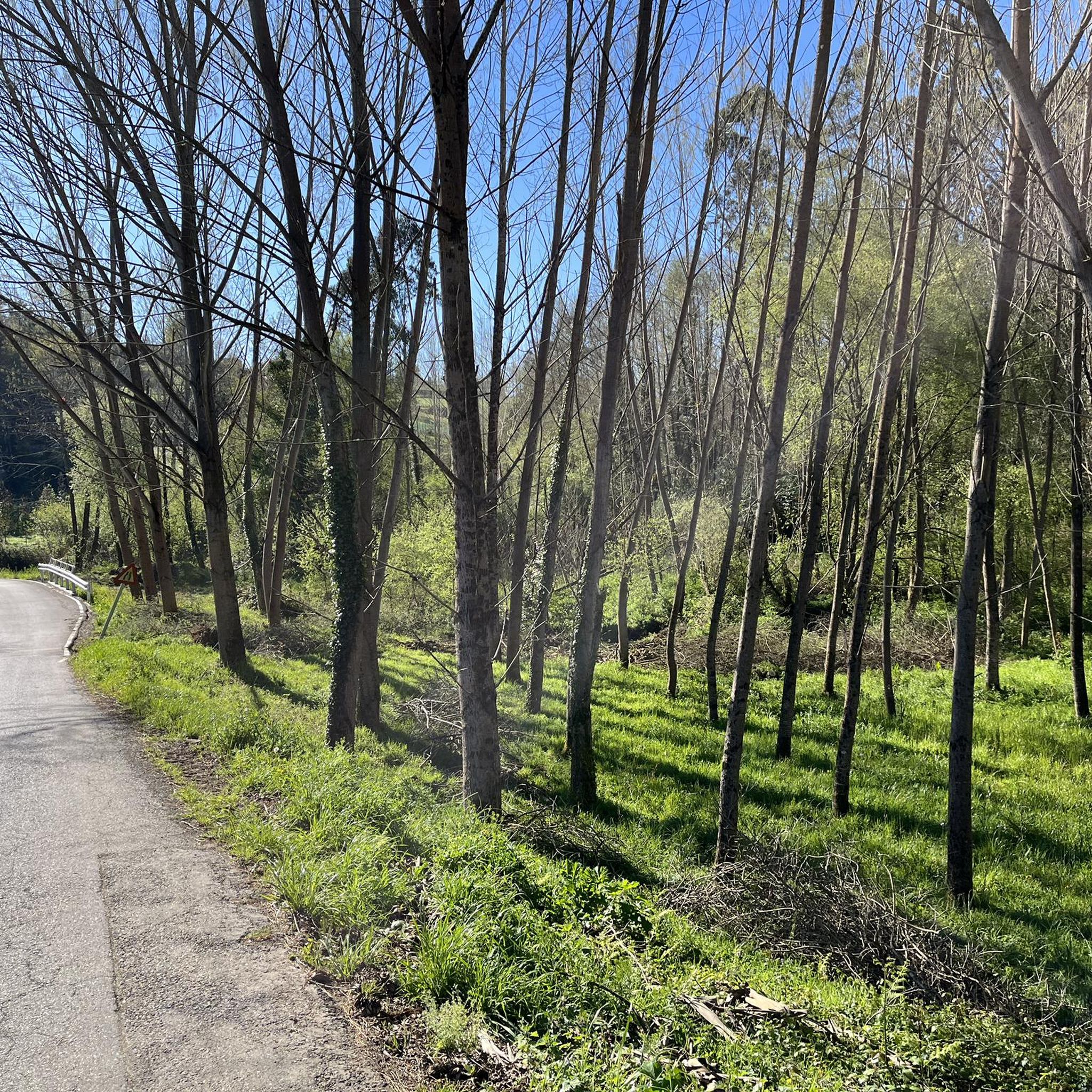
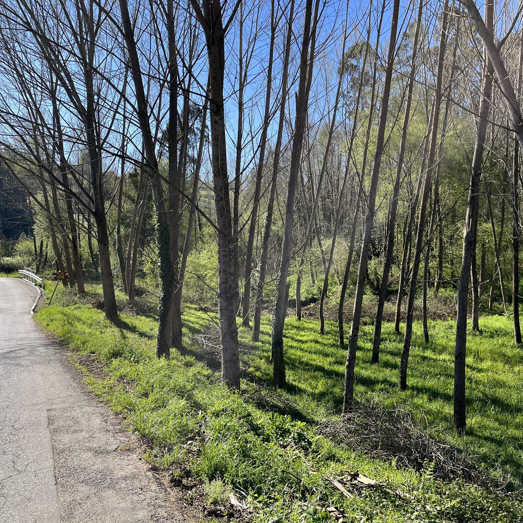
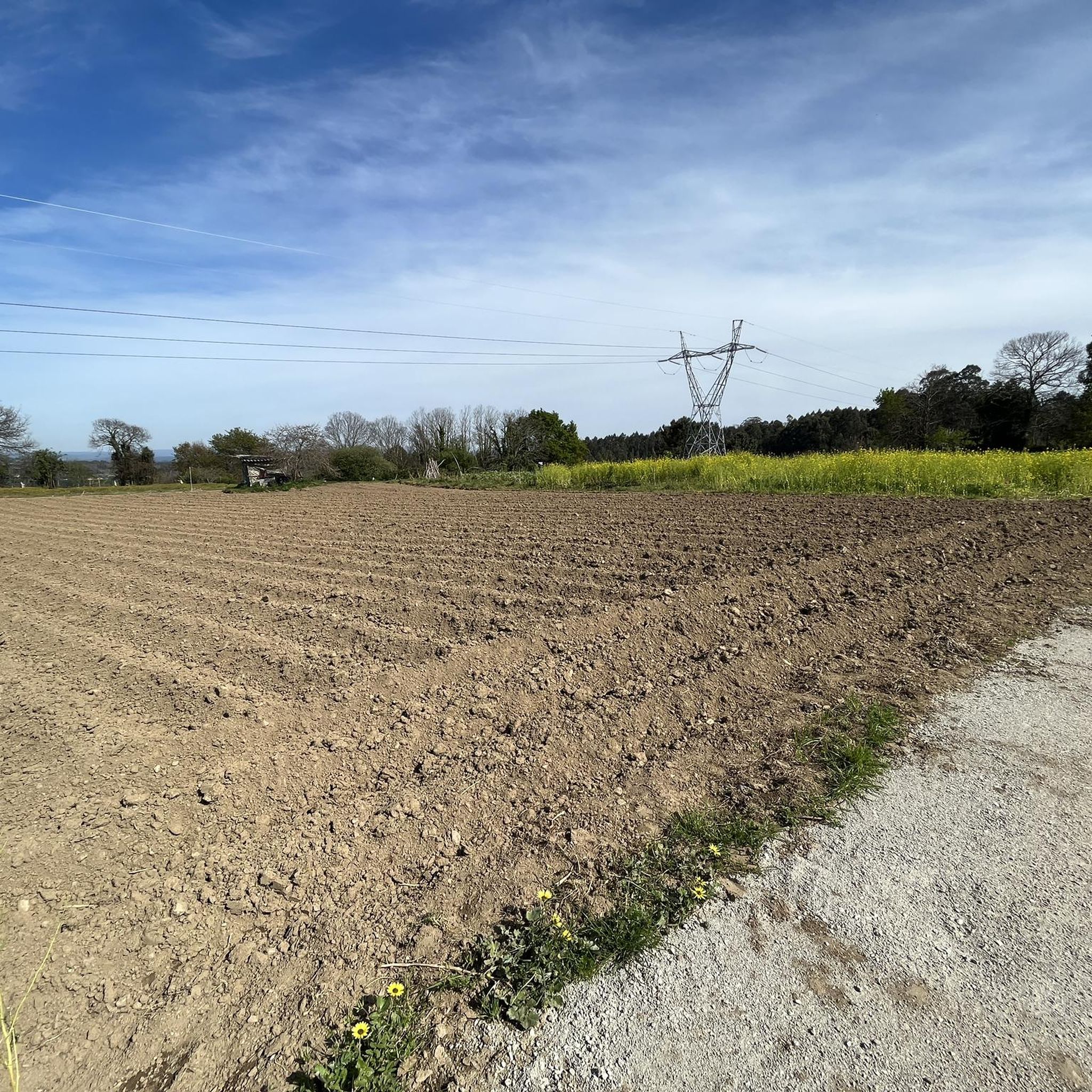
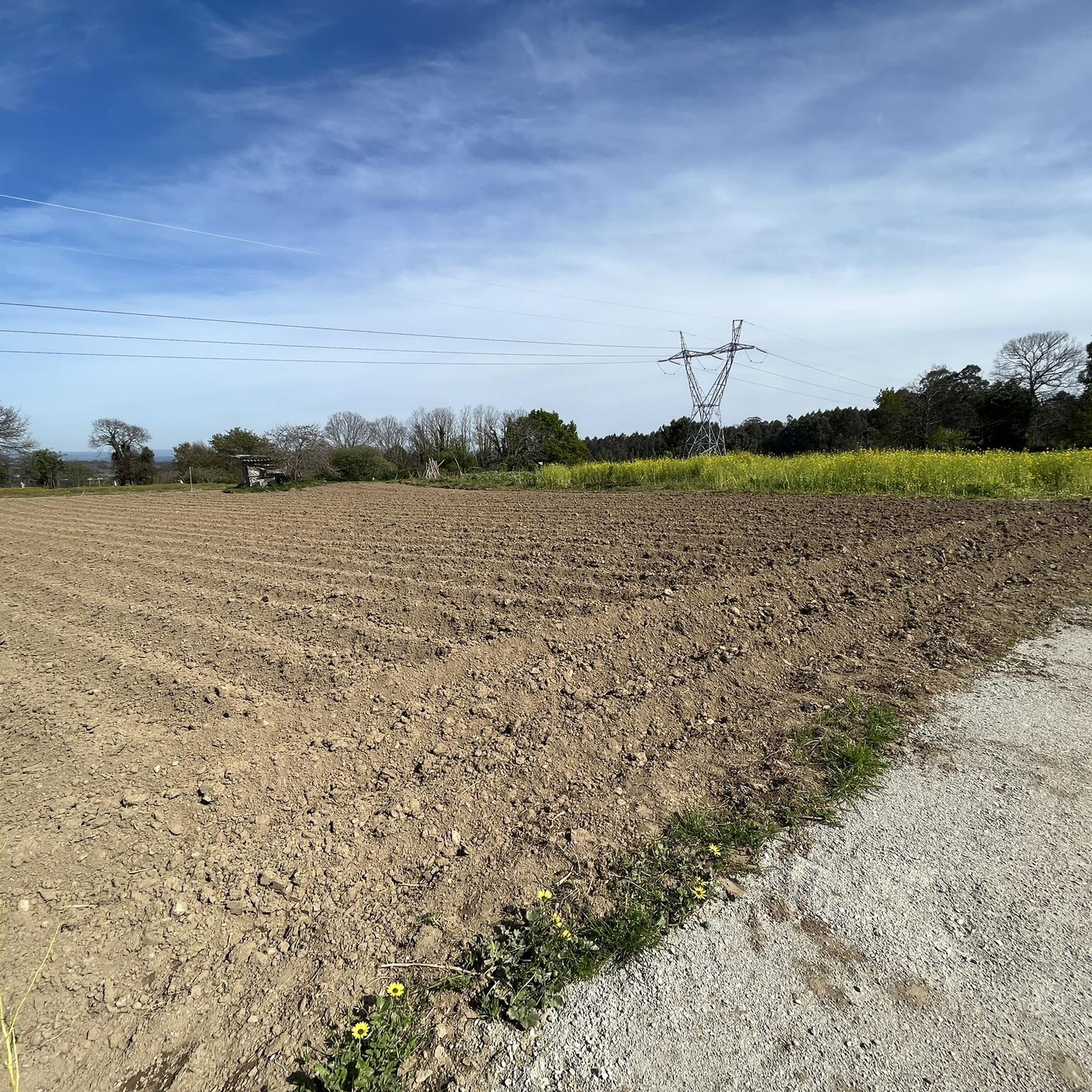

Tips from the Community

A small village at the mouth of the Lambre River, whose banks are covered with fine white sand
2
0

The Surfers' Fountain (also known as Fonte dos Surfistas) is one of the most emblematic monuments on A Coruña's seafront promenade. It is located between Orzán Beach and Matadero Beach, on Avenida Pedro Barrié de la Maza, a busy spot with direct views of the Atlantic Ocean.
3
0

One of the most beautiful and unusual fountains I have seen in recent months.
0
0

My friends, the Burgo Bridge is not a Roman bridge, its origin is medieval and dates back to the twelfth century, please let's be serious with the information.
1
0

the entire promenade is great
0
0

Located on the beach promenade
2
1

Very quiet place and good for riding slowly or pushing it if you want.
0
0

The ramp to the tower is a bit bumpy. If you drive in the middle, you'll be on smooth, continuous slabs. But definitely drive up. The view is magnificent. There may be public toilets open at the foot of the lighthouse.
1
1
Frequently Asked Questions
How many road cycling routes are available around Culleredo?
Culleredo offers a wide selection of road cycling routes, with over 40 distinct tours available. These routes cater to various skill levels, from moderate loops to more challenging climbs.
What kind of terrain can I expect on road cycling routes in Culleredo?
Road cycling around Culleredo features diverse terrain, including green landscapes, tranquil river valleys, and rolling hills. You'll find routes within the Mariñas Coruñesas e Terras do Mandeo Biosphere Reserve, which includes ancient Atlantic forests and wetlands. Some routes also offer proximity to coastal areas, providing varied cycling experiences.
What are the difficulty levels of road cycling routes in Culleredo?
The routes in Culleredo offer a range of difficulties. There are 2 easy routes, 15 moderate routes, and 24 difficult routes, ensuring options for cyclists of all experience levels. For example, the Boedo – Arteixo Park loop from O Burgo-Santiago is a moderate challenge, while the View of Caión – Arteixo Park loop from O Burgo-Santiago is considered difficult due to significant elevation gain.
When is the best time of year for road cycling in Culleredo?
While road cycling is enjoyable throughout much of the year, August and October are particularly popular months for cyclists in the A Coruña province, which includes Culleredo. These months often offer favorable weather conditions for exploring the region's diverse landscapes.
Are there any notable landmarks or viewpoints along the road cycling routes?
Yes, several routes offer access to significant landmarks and scenic viewpoints. You can find routes that pass near the ancient Tower of Hercules and the Compass Rose in nearby A Coruña. Monte Xalo, rising over 500 meters, provides panoramic views, and the Cecebre Reservoir area is also a scenic highlight.
Can I find routes that offer coastal views?
Yes, Culleredo's proximity to the Ría de A Coruña and the rugged Costa da Morte means you can find routes that combine natural beauty with coastal vistas. Some challenging routes, like the View of Caión – Arteixo Park loop from O Burgo-Santiago, feature panoramic views towards the coast.
Are there any routes that pass by natural features like waterfalls or rivers?
Absolutely. The region is rich in natural features. Routes often follow the Mero, Mandeo, and Valiñas rivers, contributing to lush scenery. The Mariñas Coruñesas e Terras do Mandeo Biosphere Reserve also features stunning waterfalls such as fervenza do Mainzoso and fervenzas do Zarzo, which can be incorporated into cycling excursions.
Are there circular road cycling routes available in Culleredo?
Many of the road cycling routes around Culleredo are designed as loops, allowing you to start and finish at the same point. Examples include the Cecebre Reservoir – Cecebre Reservoir loop from O Burgo-Santiago and the Sada Waterfront and Marina – Betanzos Velodrome loop from O Burgo-Santiago.
What do other road cyclists enjoy the most about road cycling in Culleredo?
The area is highly rated by the komoot community, with an average score of 4.0 stars from over 5 reviews. Reviewers often praise the varied terrain, the blend of natural beauty with accessible paths, and the scenic river valleys and coastal views.
Are there any longer distance road cycling routes for experienced cyclists?
For experienced cyclists seeking a longer challenge, Culleredo offers several difficult routes. The A Coruña Airport – Carballo loop from O Burgo-Santiago is a significant ride covering over 100 kilometers with substantial elevation gain, providing a demanding experience.
Are there any easy or beginner-friendly road cycling routes?
Yes, while many routes offer moderate to difficult challenges, there are also easier options available for beginners or those looking for a more relaxed ride. These routes typically feature less elevation gain and shorter distances, allowing for a comfortable introduction to road cycling in the region.
Most popular attractions around Culleredo

Get inspired with the komoot mobile app


Explore more
Browse the best Road cycling routes in other regions.
