The best running trails around Siete Aguas
403
runners
45
runs
Jogging routes around Siete Aguas are situated in the Sierra de las Cabrillas, offering a varied landscape characterized by mountainous terrain, abundant natural springs, and significant forested areas. The region features elevations up to 1,118 meters, including hills and peaks like Pico de la Nevera. Natural parks such as Parque Natural de Chera-Sot de Chera and PNM Villingordo - Siete Aguas contribute to a network of trails that traverse gorges, cliffs, and provide scenic views.
Best jogging routes around Siete…
Last updated: May 16, 2026
46
runners
25.2km
03:22
820m
820m
Hard run. Very good fitness required. Mostly paved surfaces. Suitable for all skill levels.
15
runners
20.4km
02:17
350m
350m
Hard run. Very good fitness required. Mostly paved surfaces. Suitable for all skill levels.

Sign up for free
8
runners
14.1km
01:40
340m
340m
Hard run. Very good fitness required. Mostly paved surfaces. Suitable for all skill levels.
6
runners
11.1km
01:11
160m
170m
Moderate run. Good fitness required. Mostly paved surfaces. Suitable for all skill levels.
4
runners
7.53km
00:55
180m
180m
Moderate run. Good fitness required. Mostly paved surfaces. Suitable for all skill levels.
Get access to more routes and recommendations from other explorers.
Sign up for free
Already have an account?
Our route recommendations are based on thousands of hikes, rides, and runs completed by other people on komoot.
Start today with a free account
Your next adventure awaits.
Login or Signup
Popular around Siete Aguas

GR 238 Tierra del Vino - A journey on foot through lands of silence
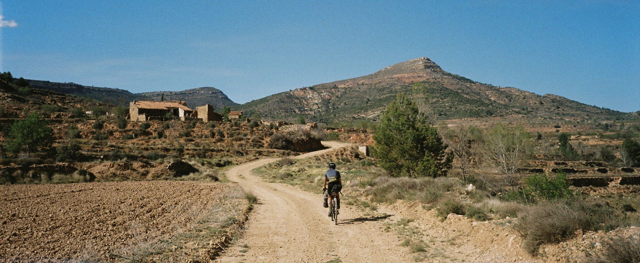
Path of the Tasters - Bikepacking in the Valencian ranges
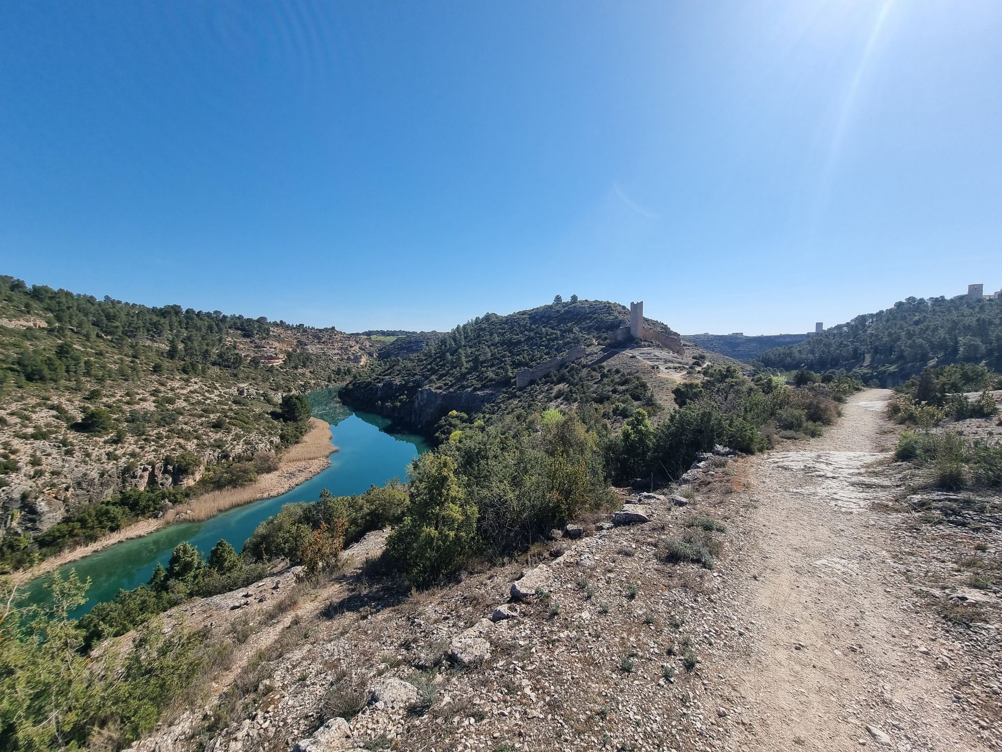
A gravel bike adventure between Madrid and Valencia
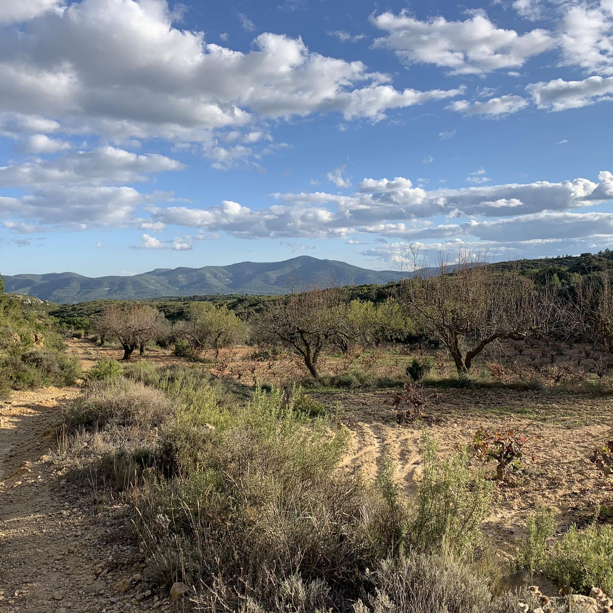
Road Cycling Routes around Siete Aguas
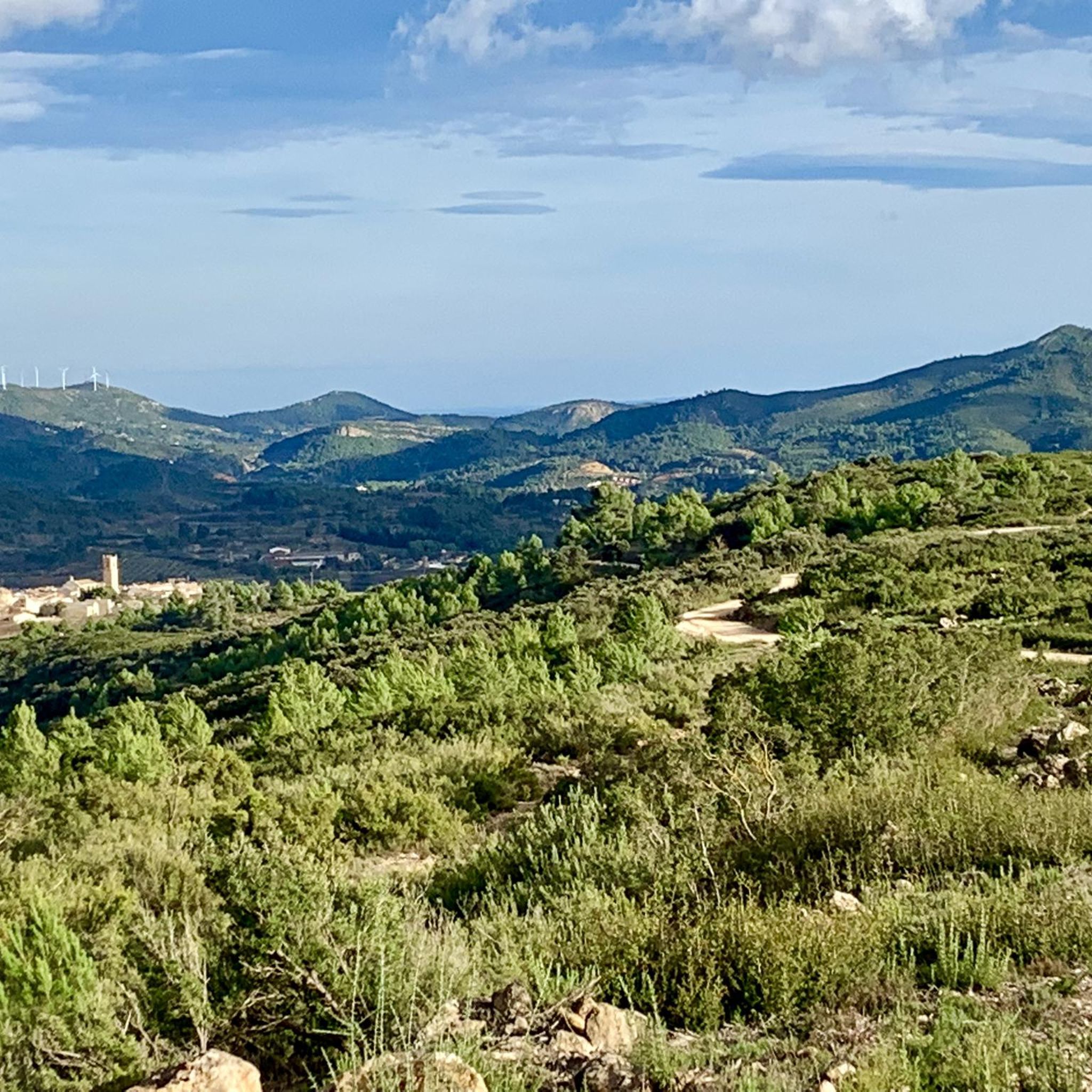
MTB Trails around Siete Aguas
Cycling around Siete Aguas
Hiking around Siete Aguas
Gravel biking around Siete Aguas
Other adventures around Siete Aguas


Tips from the Community

The cycling trip continues along the rural path of the Ruta de la Lana and passes through El Rebollar, an old inn on the Camino Real in Valencia. The slides follow one another among holm oak forests, Aleppo pine groves and vineyard plantations until the final climb towards Siete Aguas begins, on the A-3 service road. The Nature Trail passes through an uncomfortable little tunnel under the highway, then crosses the high-speed train bridge and continues along a path with a lot of stones that can put in trouble those who carry long distances on their bike. The descent to the town is also delicate due to the loose surface. The “Turia sector” of the Natural Trail ends in Siete Aguas. The route to Pedralba, in the Turia valley, has several non-cyclable sections for gravel bikes and we turn around in this beautiful town of Hoya de Buñol-Chiva, famous for the springs that flow in the municipality, such as the fountains of the Papan, of the Gota, of the Apetito, of the Tejería or the great symbol of the town, the popular Fuente de los Siete Caños, in the center of the urban area. The return from Siete Aguas to the highway is recommended along the road to avoid the stone path. And then to Requena along the same route, following the red milestones of the Turia-Cabriel Natural Trail through El Rebollar and the Magro River valley.
0
0

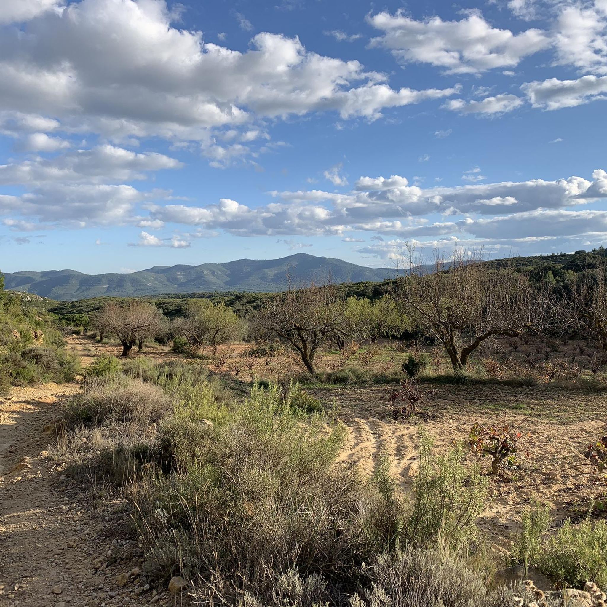
Track that climbs gently from Siete Aguas with beautiful views of the olive and almond fields, as well as the village of Siete Aguas.
2
0
Running or hiking in Siete Aguas surrounding by mid February is really stunning and charming as it is the time when almond trees are blooming, and you have many fields full of trees blooming, the contrast with the ocre of the ground, the whilte of the stones, the blue of the sky, the green of the olive trees is really fantastic to observe. Beautiful nature !
0
0
Super Nice trail - a must do staying around Siete Aguas !
2
0
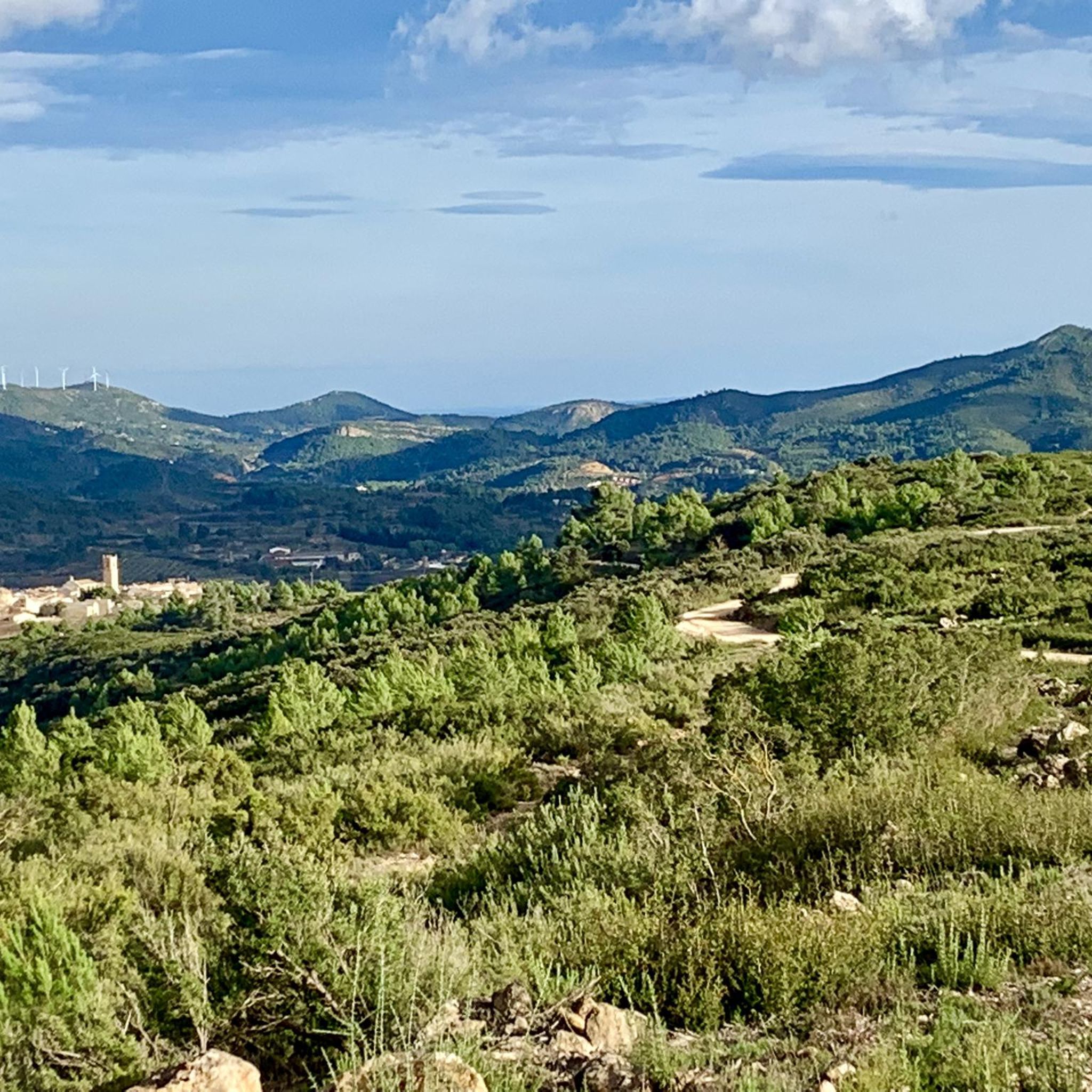
Siete Aguas is really a big village where to stay a while. Whatever path you choose to go for a hike, it offers amazing views to the village, and depending of the time of the day, the lights are amazing and give additional charm.... I love this place !!!
1
0
Very close to Siete Aguas from the road in direction to the aerodromo, the Fuentes stands below big trees that provide welcome shadow and it at the start of a wonderful trail around the Barrànco de Papan, just follow the trail, even if it is not in Komoot, but many wonderful trails are not indicated in Komoot in this region, unfortunately.
1
0
This fuentes is amazing with its many water falls, apparently the water is « medical » and you can see all along the day many people from the region coming and filling many 5 or 10 litre bottles, filling their trunk with that. The water is really tasty on top of the wonderful look of the Fuentes.
2
0
The view on the cliffs ans the olive trees are fantastic
1
0
Frequently Asked Questions
How many running routes are available in Siete Aguas?
Siete Aguas offers a wide selection of running routes, with over 45 trails available for you to explore. These routes cater to various fitness levels, ranging from easy strolls to more challenging runs through the mountainous terrain.
What kind of terrain can I expect on the jogging trails in Siete Aguas?
The jogging trails in Siete Aguas are characterized by diverse terrain, including mountainous areas with elevations up to 1,118 meters, abundant natural springs, and significant forested sections. You'll find paths winding through gorges, along cliffs, and within protected natural parks like Parque Natural de Chera-Sot de Chera and PNM Villingordo - Siete Aguas.
Are there any easy running routes for beginners or those looking for a relaxed jog?
Yes, while many routes are moderate to difficult, there is at least one easy jogging route available. For a moderate option, consider the Running loop from Siete Aguas, which covers 11.3 km with manageable elevation, offering a good balance for a relaxed yet engaging run.
Can I find routes with scenic views or natural landmarks?
Absolutely! Siete Aguas is rich in scenic beauty. Many routes offer picturesque views of gorges and cliffs. You can also explore areas with abundant natural springs, such as those along the 'Ruta de las Fuentes'. For impressive panoramic views, consider trails that lead towards peaks like Pico Ropé. The region also features natural wonders like the Turche Cave Waterfall and the Cave of the Doves and Yátova Waterfall, which can be explored as nearby attractions.
Are there any longer running routes for endurance training?
For endurance training, Siete Aguas provides several challenging and longer routes. One option not mentioned in the introduction is the Almond fields – Olive tree field loop from Siete Aguas. While moderate in difficulty, it offers a good distance of 7.5 km through scenic landscapes, perfect for extending your run or combining with other sections.
What do other runners say about the jogging experience in Siete Aguas?
The running routes in Siete Aguas are highly rated by the komoot community, with an average score of 5.0 stars. Over 400 runners have explored the varied terrain, often praising the natural beauty, the challenging yet rewarding ascents, and the refreshing presence of natural springs throughout the area.
Are there any historical or cultural points of interest along the running trails?
Beyond its natural beauty, the Siete Aguas area offers points of historical interest. You might encounter the old ice house at Pico de la Nevera, which is also within a protected plant micro-reserve. Additionally, an 18th-century bridge over the River Suc, built on 15th-century foundations, is a notable landmark often appreciated by visitors.
Is Siete Aguas a good place for running during the summer months?
Yes, Siete Aguas benefits from a high mountain climate, which means cooler summers compared to other inland areas of Valencia. This makes it a more comfortable and ideal destination for outdoor activities like jogging during the warmer months, allowing you to enjoy the fresh air and green surroundings.
Are there any circular running routes available?
Many of the running routes in Siete Aguas are designed as loops, offering convenient circular paths. For example, the Running loop from Siete Aguas is a moderate circular route that allows you to start and finish in the same location, providing a complete and satisfying running experience.
Can I find routes that pass by waterfalls or natural springs?
Siete Aguas, whose name means 'Seven Waters,' is famous for its abundant springs. You can certainly find routes that lead past these natural water sources. The region is also home to impressive waterfalls like the Turche Cave Waterfall and the Cave of the Doves and Yátova Waterfall, which are significant natural attractions in the vicinity.
Are there specific trails suitable for families with children?
While many routes in Siete Aguas involve mountainous terrain, there are options that can be adapted for families. Look for the easier or moderate-rated routes, which tend to have less elevation gain and shorter distances. The abundance of natural springs and scenic spots can make for an engaging experience for children, even if they are walking rather than jogging the entire way.
What are the options for parking near the running trails?
Given the region's focus on outdoor activities, many trailheads and popular starting points for running routes in Siete Aguas typically offer parking facilities. It's advisable to check specific route details on komoot for precise parking information for your chosen trail.
Most popular routes around Siete Aguas
Most popular attractions around Siete Aguas

Get inspired with the komoot mobile app


Explore more
Browse the best Running Trails & Routes in other regions.
