The best walks and hikes around Arganza
4.5
(91)
915
hikers
63
hikes
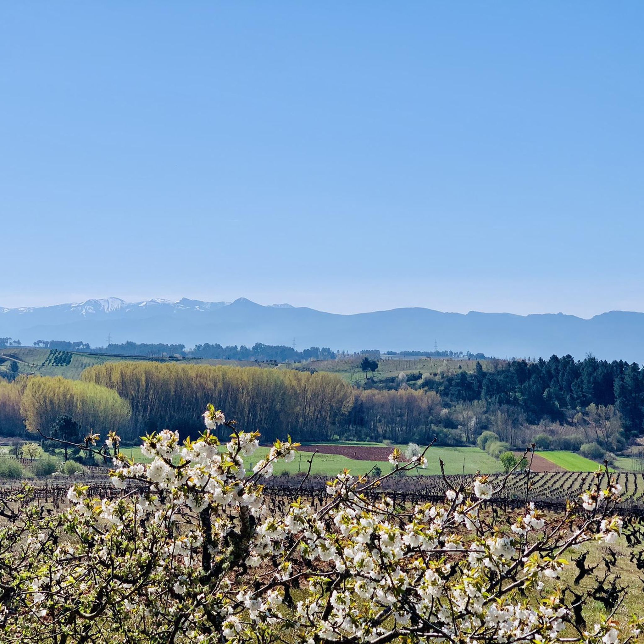
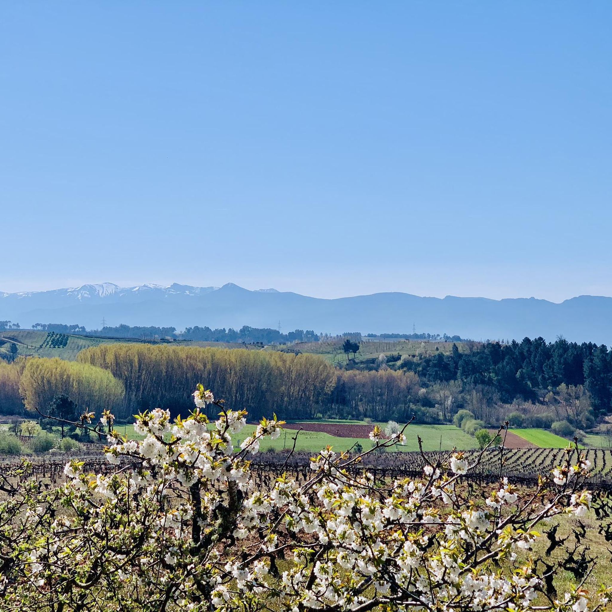
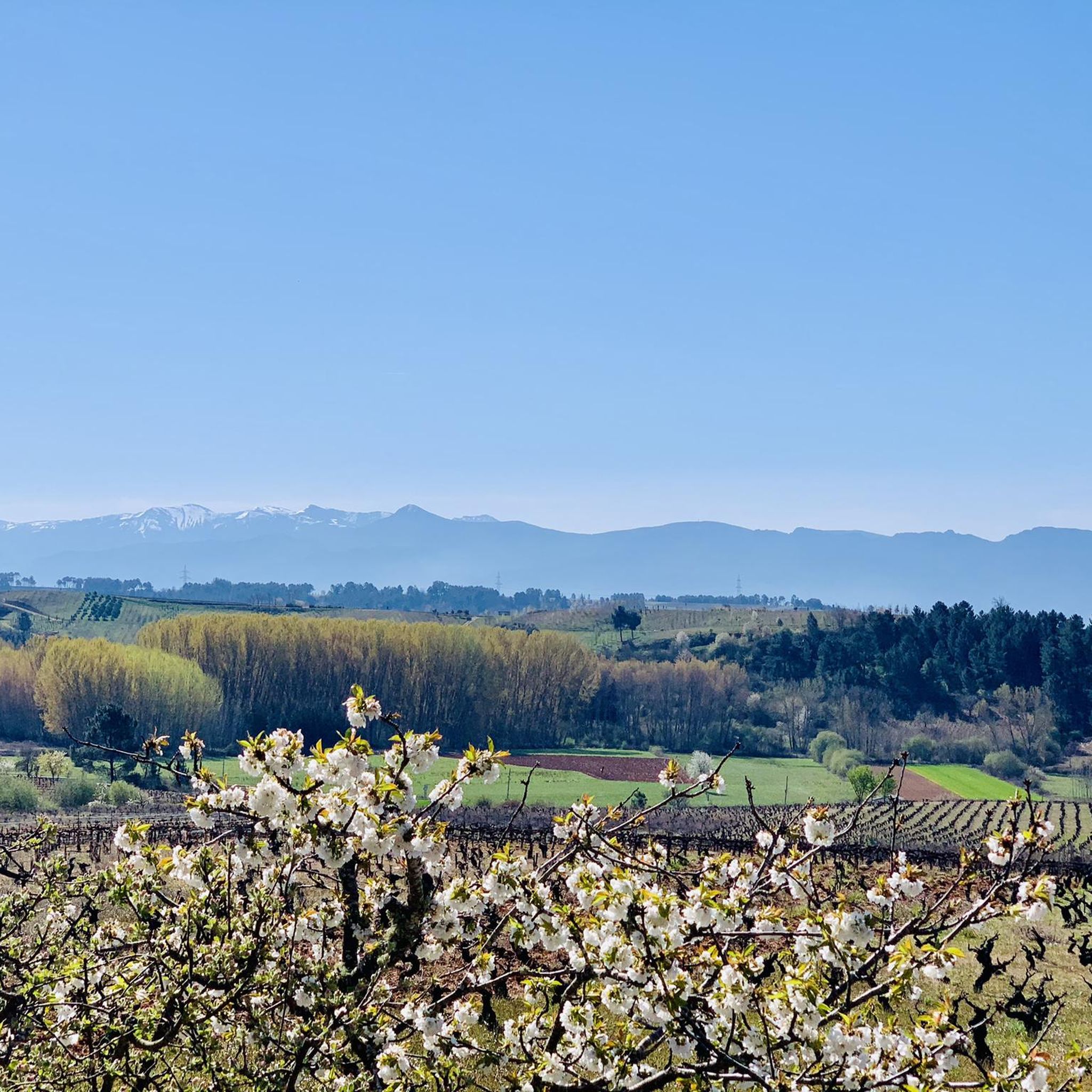
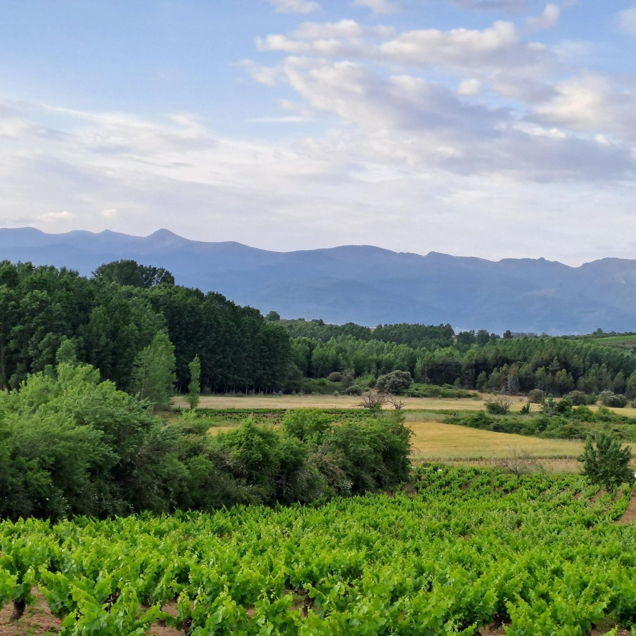
Hiking around Arganza, situated within the El Bierzo region of Castile and León, Spain, offers access to a diverse landscape. The area is characterized by a bowl-shaped valley surrounded by mountains, providing varied elevations and scenic vistas. Hikers can explore paths winding through lush forests, including ancient chestnut and oak groves, and along crystal-clear rivers like the Cúa. The region's terrain includes deep valleys and offers a mix of natural beauty and historical significance.
Best hiking trails around Arganza
- The…
Last updated: May 20, 2026
4.7
(30)
236
hikers
26.1km
06:50
200m
200m
Hard hike. Very good fitness required. Easily-accessible paths. Suitable for all skill levels.
4.7
(14)
75
hikers
22.8km
06:10
310m
310m
Hard hike. Very good fitness required. Easily-accessible paths. Suitable for all skill levels.

Sign up for free
13
hikers
10.4km
02:48
130m
120m
Moderate hike. Good fitness required. Easily-accessible paths. Suitable for all skill levels.
7
hikers
Moderate hike. Good fitness required. Easily-accessible paths. Suitable for all skill levels.
3.0
(2)
4
hikers
Easy hike. Great for any fitness level. Easily-accessible paths. Suitable for all skill levels.
Get access to more routes and recommendations from other explorers.
Sign up for free
Already have an account?
Our route recommendations are based on thousands of hikes, rides, and runs completed by other people on komoot.
Start today with a free account
Your next adventure awaits.
Login or Signup

Tips from the Community

Traditional building and device used for pressing grapes and obtaining the must that will be used to make wine.
0
0

The Plaza de la Constitución in Camponaraya, León province, is a focal point of the town and houses several important buildings: Camponaraya Town Hall: Located directly in the square. Tourist Office: Also located in the square, open Thursday through Sunday from 9:00 a.m. to 2:00 p.m. (May to October). Capilla de la Soledad: Nearby church, about 150 meters away. Camponaraya Viewpoint: About 500 meters away, ideal for enjoying views of the surrounding area.
4
0

The Church of Santiago dates back to the 12th century, the Puerta del Perdón (Door of Forgiveness), and is located next to the Cathedral of Santiago. They are the only ones that can grant the Jubilee, in this case it will be due to illness or accident that prevents you from continuing on to the Cathedral of Santiago de Compostela.
0
0

The Lambrión Chupacandiles statue in Ponferrada is a bronze tribute to one of the most iconic figures of the local Semana Santa tradition. Installed in 2024 at the Church of San Andrés, the statue depicts a Nazareno in a black hooded robe, holding a bell—just as he parades through the city each year to announce the arrival of Holy Week. The figure, which originated in the 17th century, is linked to the Hermandad de Jesús Nazareno and takes its name from a legend that says he tasted wine and even oil from candlesticks along the way. Designed by Tomás Bañuelos and Soraya Triana, the sculpture has become a recognizable symbol of Ponferrada's religious heritage.
3
0
The Church of Santa María in Cacabelos is a historic church along the Camino de Santiago, originally consecrated in 1108. Although only the Romanesque choir from that period remains, the church was largely rebuilt in the Renaissance style in the 16th century and later enhanced with Baroque elements. Notable features include the neo-Gothic tower from 1904, a 13th-century statue of the Virgen de la Edrada above the entrance, and a 14th-century statue of Christ on a cross depicting the tree of life motif.
2
0
On the Camino de Santiago, you'll find signs and symbols to guide you throughout your pilgrimage. In short, if you pay attention to these signs, you're unlikely to get lost on the Camino de Santiago. Have a good trip!
4
0
On the Camino de Santiago, you'll find signs and symbols to guide you throughout your pilgrimage. In short, if you pay attention to these signs, you're unlikely to get lost on the Camino de Santiago. Have a good trip!
4
0
On the Camino de Santiago, you'll find signs and symbols to guide you throughout your pilgrimage. In short, if you pay attention to these signs, you're unlikely to get lost on the Camino de Santiago. Have a good trip!
4
0
Frequently Asked Questions
How many hiking trails are there in Arganza?
Arganza offers a wide selection of hiking opportunities, with over 60 routes available. These trails range in difficulty from easy strolls to more challenging ascents, ensuring there's something for every hiker.
What kind of terrain can I expect on hikes around Arganza?
The hiking terrain around Arganza is quite diverse, characterized by a bowl-shaped valley surrounded by mountains. You'll find lush forests, including ancient chestnut and oak groves, winding paths along crystal-clear rivers like the Cúa, and often vineyards. The broader El Bierzo region also features deep valleys and impressive geological formations.
Are there any easy hiking options suitable for beginners in Arganza?
Yes, Arganza has several easy hiking routes perfect for beginners or those looking for a relaxed walk. For example, the Hostal Santa María – Imprint loop from Cacabelos is an easy 4.2-mile (6.8 km) path that can be completed in just over an hour, offering a gentle introduction to the area's beauty.
Can I find circular hiking routes near Arganza?
Many of the trails around Arganza are designed as circular routes, allowing you to start and finish at the same point. A popular moderate option is the Vineyards – Panorama loop from El Brazalín, which is 6.5 miles (10.4 km) long and offers panoramic views through vineyards.
What are some notable landmarks or attractions I can see while hiking near Arganza?
While hiking near Arganza, you can explore a rich historical landscape. Nearby attractions include impressive castles such as Ponferrada Castle and Villafranca del Bierzo Castle. You might also encounter historical religious buildings like the Basilica of Our Lady of the Encina or the Church of Santiago (Holy Door of Forgiveness) in Villafranca del Bierzo.
Are there any viewpoints offering panoramic views on the trails?
Yes, the mountainous terrain around Arganza provides several opportunities for stunning panoramic views. Trails like the Hermitage of San Blas and San Roque – Clock Tower of Camponaraya loop from Camponaraya, a more challenging route, are known for their extensive vistas across the local landscape. The Vineyards – Panorama loop from El Brazalín also offers excellent panoramic viewpoints.
Is Arganza a good destination for family-friendly hikes?
Arganza and the surrounding El Bierzo region offer a variety of trails suitable for families. With 27 easy routes, you can find paths that are less strenuous and shorter, perfect for children. These often wind through forests or along rivers, providing engaging natural environments for all ages.
Are dogs allowed on the hiking trails around Arganza?
Generally, dogs are welcome on hiking trails in the Arganza region, especially in natural areas. However, it's always advisable to keep them on a leash, particularly in areas with wildlife or near agricultural land, and to check for any specific local regulations or protected areas that might have restrictions.
What is the best time of year to go hiking in Arganza?
The El Bierzo region, including Arganza, is beautiful year-round. Spring brings lush greenery and wildflowers, while autumn is particularly stunning with vibrant colors from the chestnut and oak forests. Summers are generally warm and sunny, ideal for longer days on the trails, and mild winters can offer crisp, clear hiking conditions, especially at lower elevations.
What kind of wildlife might I encounter while hiking in Arganza?
The diverse natural environment around Arganza supports a variety of wildlife. Hikers might spot chamois, roe deer, wild goats, eagles, and vultures. In more secluded areas, particularly in the wider El Bierzo region, there's a chance to see more elusive species like brown bears and capercaillie, especially in crucial breeding grounds like Alto Sil and Ancares.
Are there any trails that follow rivers or feature water elements?
Yes, the region is crisscrossed by crystal-clear rivers such as the Sil, Ancares, Burbia, Cúa, and Fornela. A great option is the Cacabelos River Beach – Cúa River in Cacabelos loop from Cacabelos, a moderate 7-mile (11.3 km) route that follows the Cúa River, offering pleasant riverside scenery.
What do other hikers say about their experience in Arganza?
The hiking routes in Arganza are highly rated by the komoot community, with an average score of 4.5 stars from nearly 90 reviews. Hikers often praise the diverse landscapes, from lush forests and river valleys to scenic vineyards, and appreciate the variety of trails catering to different abilities.
Where can I find parking for hiking trails around Arganza?
Many trailheads in and around Arganza, especially those starting from villages like Camponaraya or Cacabelos, offer designated parking areas. It's common to find parking available near the starting points of popular routes, often in village centers or specific trailhead car parks.
Most popular attractions around Arganza

Get inspired with the komoot mobile app


Explore more
Browse the best Hikes in other regions.
