The best road cycling routes around Miraflores De La Sierra
4.8
(85)
11,417
riders
12
rides
Road cycling around Miraflores de la Sierra offers diverse terrain within the Sierra de Guadarrama National Park, known for its challenging mountain passes and scenic landscapes. The region features wooded areas, meadows, and forests of ash, holm oak, pine, and oak trees. Cyclists encounter significant climbs, notably the La Morcuera and Canencia passes, which provide panoramic mountain views and generally good road surfaces. The area's varied topography includes both demanding ascents and numerous kilometers of forest tracks.
Best road cycling…
Last updated: June 30, 2026
5.0
(12)
1,269
riders
63.4km
03:34
1,270m
1,260m
Hard road ride. Very good fitness required. Mostly well-paved surfaces and easy to ride.
4.7
(3)
309
riders
Moderate road ride. Good fitness required. Mostly well-paved surfaces and easy to ride.

Sign up for free
5.0
(1)
227
riders
119km
06:52
2,660m
2,660m
Hard road ride. Very good fitness required. Mostly well-paved surfaces and easy to ride.
5.0
(2)
537
riders
148km
08:12
3,000m
3,000m
Hard road ride. Very good fitness required. Mostly well-paved surfaces and easy to ride.
4.0
(4)
203
riders
42.8km
01:56
430m
430m
Moderate road ride. Good fitness required. Mostly well-paved surfaces and easy to ride.
Get access to more routes and recommendations from other explorers.
Sign up for free
Already have an account?
Our route recommendations are based on thousands of hikes, rides, and runs completed by other people on komoot.
Start today with a free account
Your next adventure awaits.
Login or Signup
Popular around Miraflores De La Sierra

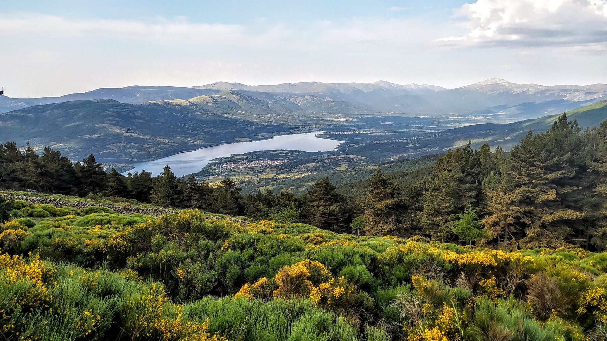
The treasures of Guadarrama – on foot along the GR 10 in Madrid
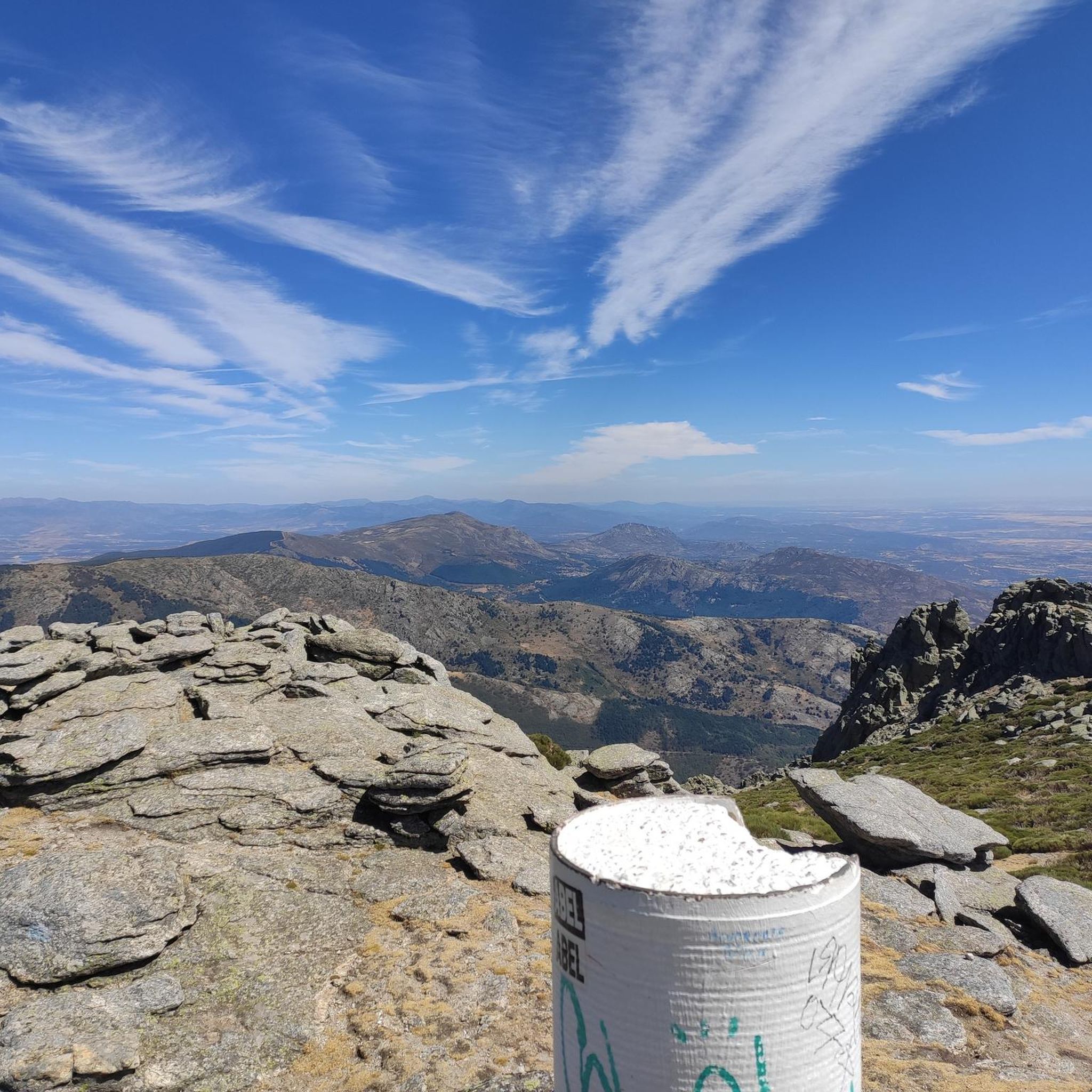
Forests and palaces – Tour of the Sierra de Guadarrama Mountain Range on MTB
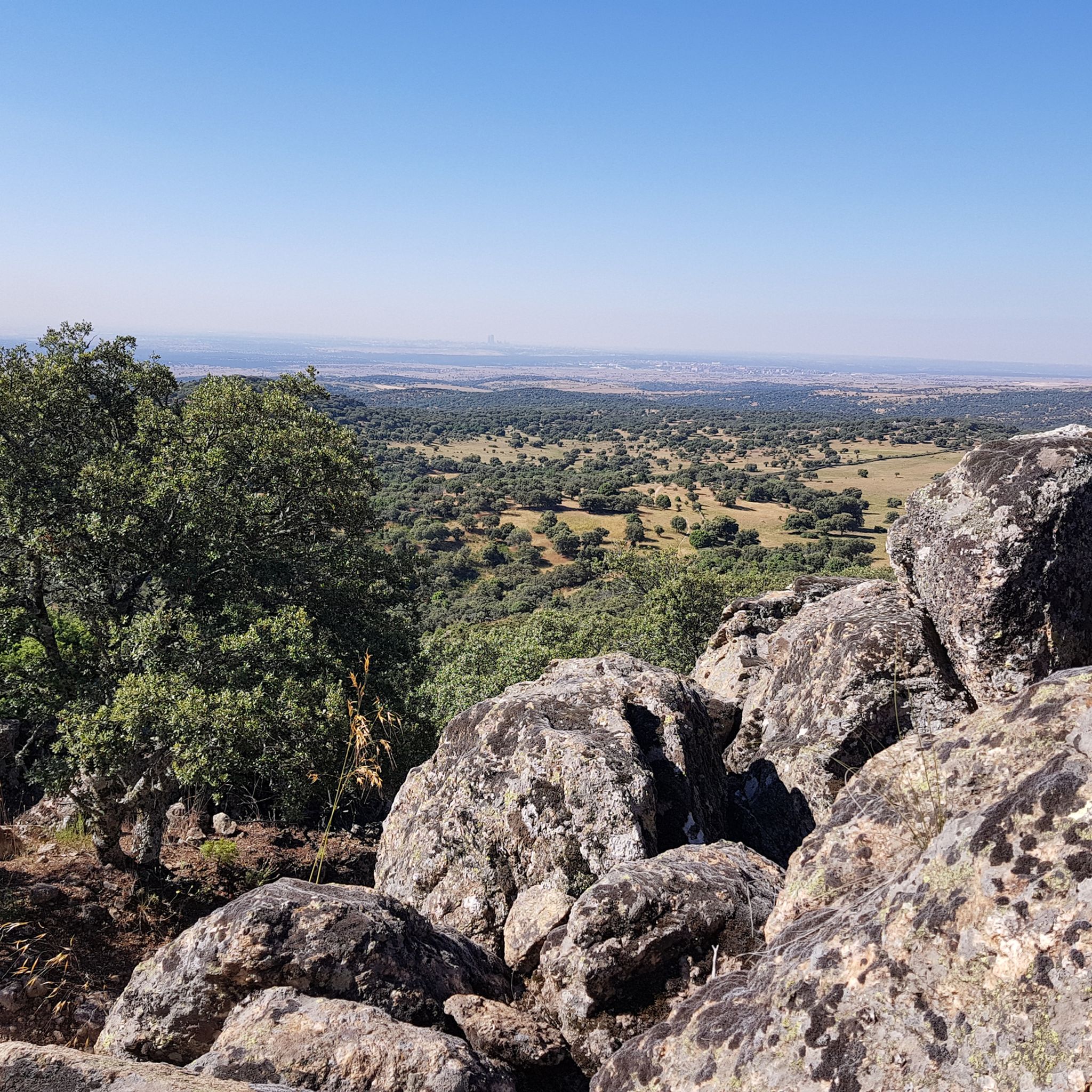
Hiking around Miraflores De La Sierra
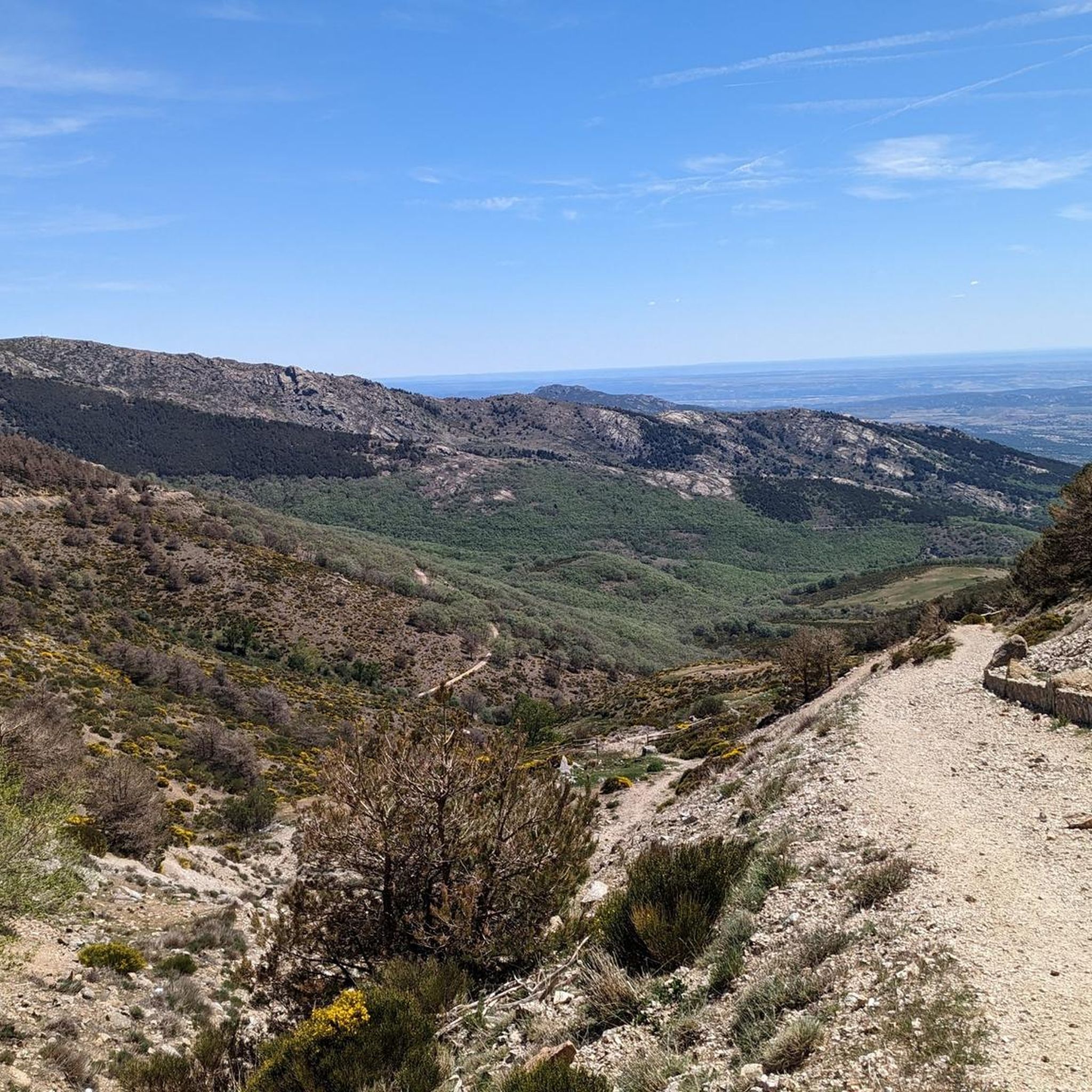
MTB Trails around Miraflores De La Sierra
Running Trails around Miraflores De La Sierra
Cycling around Miraflores De La Sierra

Gravel biking around Miraflores De La Sierra

Mountain Hikes around Miraflores De La Sierra

Tips from the Community

It is located in the Sierra de Guadarrama mountain range, between the municipalities of Miraflores de la Sierra and Rascafría, in the Community of Madrid. From Miraflores de la Sierra (1200m), the route ascends approximately 600m over 10km (average gradient 4–6%), and after reaching the summit, it descends 13km to Rascafría (1150m) with a gradient of 4.5–7%.
6
0
It's a classic climb in the Vuelta a España and in cyclotourism events like the Perico Delgado ride. The switchbacks section is very demanding: The first 4 km are gentle (2-3%). From the Puente de la Cantina (Cantina Bridge), ramps of 6-7% begin. Between km 6 and 8 are the five tightest bends, almost linked together, in a wooded area. The final kilometer has a steep ramp before reaching the summit.
1
0
They are located on the Segovia side of the Navacerrada Pass, on the CL-601 road (formerly the N-601), which connects La Granja de San Ildefonso with the pass. Approximate altitude: between 1,400 m and 1,700 m. There are seven hairpin bends that traverse the foothills of the Sierra de Guadarrama mountain range. Total length of the pass on this side: 13.6 km, with a 669 m elevation gain and an average gradient of 4.9%. The steepest ramps are in the switchbacks, with gradients of 6-8% and occasional sections reaching 9%. Summit at the Navacerrada Pass (1,856 m).
1
0
The name comes from the stone boundary markers erected in the 18th century to demarcate lands acquired by Charles III for hunting. During the Spanish Civil War, it was a strategic area with a Republican detachment stationed there. It formerly housed the Valcotos ski resort, which no longer exists.
1
0

The Siete Revueltas are one of the most iconic sections of the road that ascends to the Navacerrada Pass. This section consists of seven hairpin bends, one after the other, marking the final and toughest part of the climb from the Segovia side.
0
0

Good, shady area, water in Rascafría and upstream, well paved. Too busy on weekends.
0
0

There's a fountain as you reach the top on the right. Follow the cobblestone path.
0
1
It's not a very steep climb, but it's long. It gets tiring at the end.
0
0
Frequently Asked Questions
How many road cycling routes are available around Miraflores de la Sierra?
There are over 70 road cycling routes around Miraflores de la Sierra, offering a wide range of options for different skill levels. The komoot community has explored these routes over 12,000 times.
What kind of terrain can I expect on road cycling routes in Miraflores de la Sierra?
Miraflores de la Sierra, located within the Sierra de Guadarrama National Park, offers diverse terrain. You can expect challenging mountain passes like La Morcuera Pass and Canencia Pass, along with scenic wooded landscapes, meadows, and forests of ash, holm oak, pine, and oak trees. The area is known for its significant climbs and panoramic mountain views.
Are there road cycling routes suitable for beginners or those looking for easier rides?
Yes, while the region is known for its challenging climbs, there are also routes suitable for beginners. Out of the 73 available routes, 7 are classified as easy. For instance, the Soto del Real Cycling Area – Lisboa Gastrobar loop from Soto del Real offers a moderate path with less elevation gain.
Where can I find challenging road cycling climbs in the area?
Miraflores de la Sierra is a prime location for challenging climbs, often referred to as a 'mecca of cycling.' The most notable passes are La Morcuera and Canencia. Routes like the difficult Miraflores de la Sierra, Canencia, Lozoya, Rascafría – circular route or the El Villar Reservoir – Canencia Pass loop from Miraflores de la Sierra offer significant elevation gains and are popular among experienced cyclists.
Are there any circular road cycling routes starting from Miraflores de la Sierra?
Yes, many routes in the area are circular, allowing you to start and end in the same location. Popular options include the difficult Miraflores de la Sierra, Canencia, Lozoya, Rascafría – circular route and the challenging El Villar Reservoir – Canencia Pass loop from Miraflores de la Sierra.
What can I see along the road cycling routes in Miraflores de la Sierra?
Beyond the stunning mountain views from passes like La Morcuera and Canencia, you can encounter natural features such as the Hervidero Waterfall. The routes also pass by reservoirs like Pedrezuela Reservoir and Santillana Reservoir, and historical sites such as the Manzanares el Real Castle.
What is the best time of year for road cycling in Miraflores de la Sierra?
The region offers good cycling conditions for much of the year. Spring and autumn generally provide pleasant temperatures and vibrant scenery. While summer can be warm, the higher elevations of the mountain passes offer cooler air. Winter cycling is possible, but conditions can be more challenging, especially at higher altitudes, due to colder temperatures and potential snow.
Is public transport available to Miraflores de la Sierra for cyclists?
Miraflores de la Sierra is conveniently located less than 50 km from Madrid, making it accessible. Public transport options, such as buses, connect the town to Madrid. It's advisable to check with the specific bus operator regarding their policy on carrying bicycles, as this can vary.
Are there places to park my car if I drive to Miraflores de la Sierra for cycling?
Miraflores de la Sierra is a popular starting point for cyclists, and as such, you can typically find parking within the town. Many cyclists park in or around the town center before embarking on their rides into the Sierra de Guadarrama.
What do other road cyclists enjoy the most about road cycling in Miraflores de la Sierra?
The area is highly rated by the komoot community, with an average score of 4.7 stars from over 80 reviews. Cyclists frequently praise the region's stunning natural beauty, the challenge and panoramic views offered by the mountain passes, and the generally good road surfaces. The diverse landscapes, from wooded areas to open meadows, also contribute to a highly enjoyable cycling experience.
Are there any specific permits required for cycling within the Sierra de Guadarrama National Park?
Generally, no specific permits are required for road cycling on established roads within the Sierra de Guadarrama National Park. However, it's always recommended to respect park regulations, stay on marked routes, and be aware of any specific restrictions that might apply to certain areas or during particular seasons.
Can I find cafes or restaurants along the road cycling routes in Miraflores de la Sierra?
Miraflores de la Sierra itself is a charming town with various cafes and restaurants where you can refuel before or after your ride. While some routes might pass through smaller villages with amenities, it's always a good idea to carry sufficient water and snacks, especially on longer or more remote sections of your journey.
Most popular routes around Miraflores De La Sierra
Most popular attractions around Miraflores De La Sierra

Get inspired with the komoot mobile app


Explore more
Browse the best Road cycling routes in other regions.
