The best road cycling routes around Puebla De Albortón
64
riders
4
rides
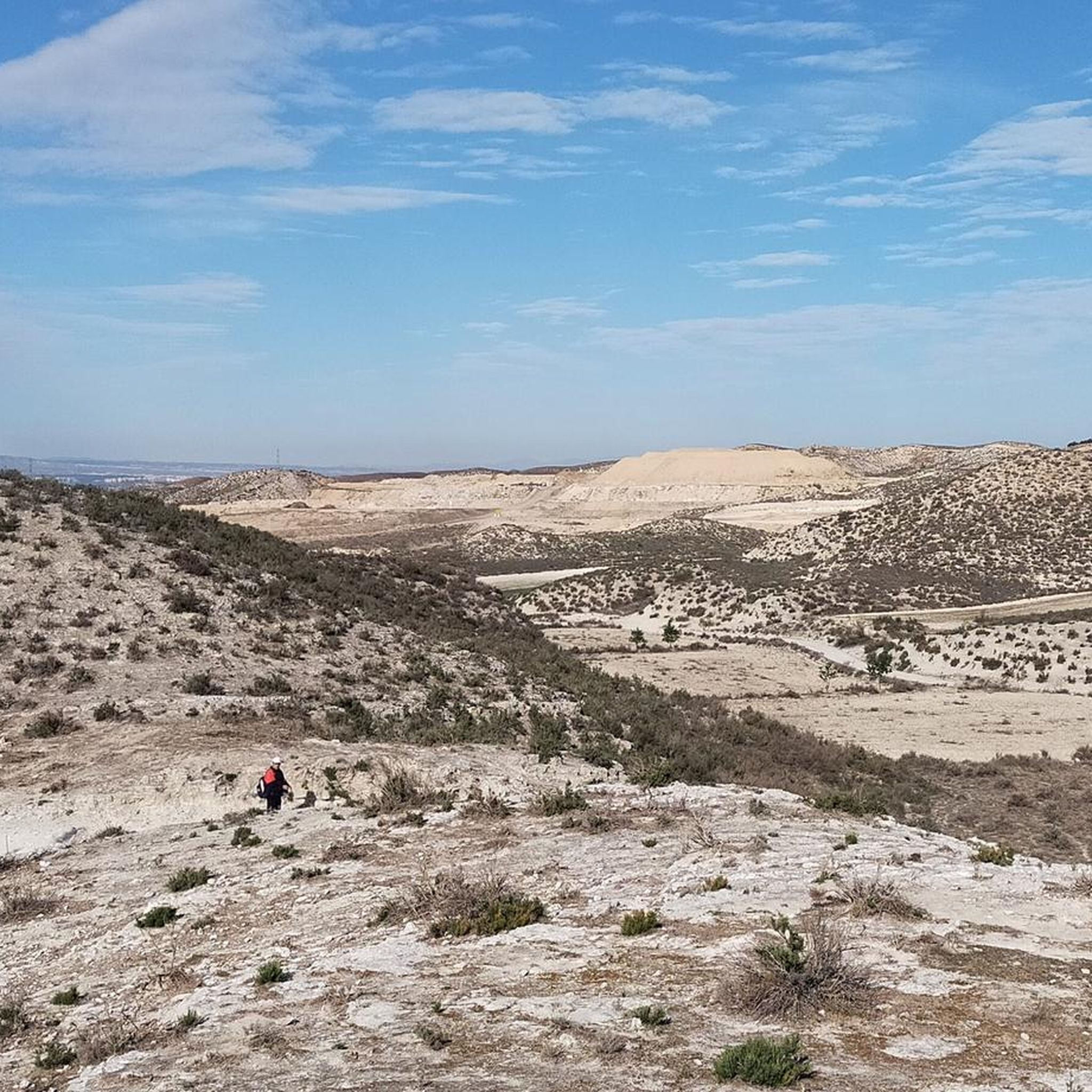
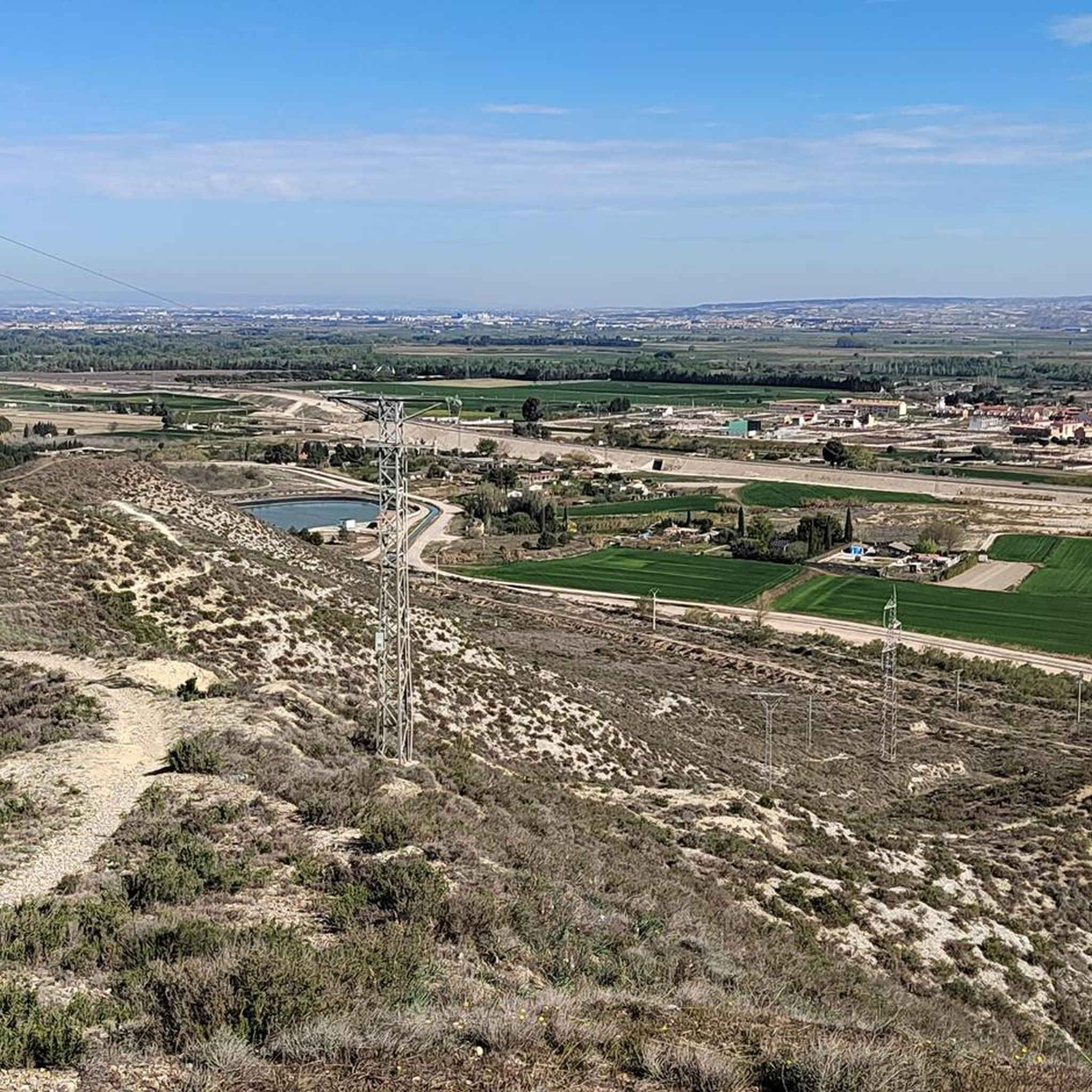
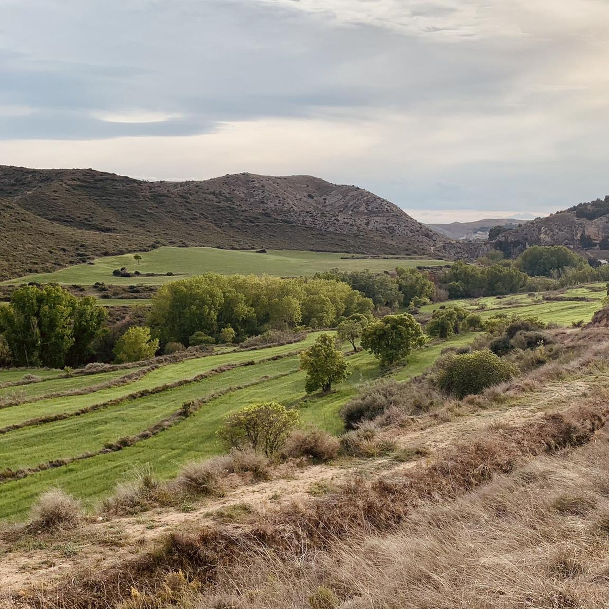
Road cycling routes around Puebla De Albortón traverse a landscape characterized by a blend of arid steppe and Mediterranean forest ecosystems, particularly around the Sierra Gorda. The region features significant geological formations and rural roads with low traffic, providing varied scenery for cyclists. Notable natural features include the Foz de Zafrané, a two-kilometer gorge with impressive rock walls. This diverse terrain offers a stable surface for road cyclists.
Best road cycling routes around Puebla De Albortón
- The most popular road…
Last updated: July 11, 2026
37.8km
01:40
370m
370m
Moderate road ride. Good fitness required. Mostly well-paved surfaces and easy to ride.
40.1km
02:14
720m
720m
Moderate road ride. Good fitness required. Some segments of this route may be unpaved and difficult to ride.

Sign up for free
39
riders
55.2km
02:49
650m
650m
Moderate road ride. Good fitness required. Mostly well-paved surfaces and easy to ride.
14
riders
90.3km
04:22
1,330m
1,330m
Hard road ride. Very good fitness required. Mostly well-paved surfaces and easy to ride.
8
riders
112km
05:28
1,680m
1,680m
Hard road ride. Very good fitness required. Mostly well-paved surfaces and easy to ride.
Our route recommendations are based on thousands of hikes, rides, and runs completed by other people on komoot.
Start today with a free account
Your next adventure awaits.
Login or Signup
Popular around Puebla De Albortón
Tips from the Community

It is the main point of interest of the route. The sanctuary is located at an altitude of about 1,350 m and offers spectacular views of the Iberian Sierras and the Huerva valley. It is one of the most emblematic places in the entire Campo de Daroca region.
0
0

Incredible, depending on the season the flow can vary greatly. We were lucky enough to pass through when there was a lot of water, it's impressive!
1
0

Enjoy the hot days near the Muel waterfall
0
0

Water fountain at the entrance to the town of Herrera de los Navarros.
0
0

The Muel Roman dam is one of the most relevant hydraulic civil engineering works in the Hispano-Roman world, due to its monumentality and good state of conservation.
11
0
In the surroundings of Zaragoza there are many great little excursions, and one of the most complete, since it brings together nature, history and culture in one place, is a visit to the Muel Natural Park.
13
1

A beautiful town to get lost in located in the south of the province of Zaragoza, popular with hikers and sports lovers because it is the place chosen to start the ascent to the Sanctuary of the Virgin of Herrera.
0
0
Located at an altitude of 1,349 meters, we are in the Sanctuary of the Virgin of Herrera with wonderful views of the Iberian mountains of Zaragoza and Teruel, the Ebro valley and on a good day you can even make out the Pyrenees. Until the Sanctuary, from the town of Herrera de los Navarros, we will cross the wooded slopes of the Sierra de Herrera.
2
0
Frequently Asked Questions
What kind of terrain can I expect on road cycling routes around Puebla De Albortón?
Road cycling routes in Puebla De Albortón offer a diverse landscape, characterized by a unique blend of arid steppe and magnificent Mediterranean forest ecosystems, particularly around the Sierra Gorda. You'll find rural and secondary roads that provide a stable surface, often with low traffic, enhancing the safety and enjoyment of your rides. The region also features significant geological formations from the Jurassic period, visible due to erosion, adding to the varied scenery.
Are there routes suitable for different difficulty levels?
Yes, the routes around Puebla De Albortón cater to various skill levels. While the guide primarily features moderate routes like Belchite, Codo and Almonacid (23.5 miles / 37.8 km) and From Fuendetodos to the Torcas Reservoir - return via the Cariñena Field (24.9 miles / 40.1 km), there are also more challenging options. For instance, the Tosos – Herrera de los Navarros loop from Azuara is a difficult route spanning over 56 miles (90 km) with significant elevation gain.
What natural features or landmarks can I see along the road cycling routes?
The region is rich in natural and historical points of interest. You can encounter the impressive Foz de Zafrané, a two-kilometer gorge with spectacular rock walls. Cyclists can also explore historical elements like remnants of the old Utrillas railway line. Nearby attractions include the Old Village of Belchite, the Virgen de Dorleta Memorial, and scenic viewpoints such as Pico Verde Viewpoint and the Viewpoint of the Roman Dam of Almonacid de la Cuba.
When is the best time of year for road cycling in Puebla De Albortón?
The climate in the Campo de Belchite region, including Puebla de Albortón, features mild winters and dry summers, making it suitable for cycling for most of the year. Spring and autumn are particularly pleasant, offering ideal temperatures and conditions for exploring the routes.
Are there any circular road cycling routes available?
Yes, many of the road cycling routes in the area are designed as loops, allowing you to start and end in the same location. An example is the Roman Dam of Muel – Virgen de Dorleta Memorial loop from Fuendetodos, which covers 34.1 miles (54.9 km) through varied landscapes and historical sites.
What do other road cyclists enjoy most about the routes in Puebla De Albortón?
Road cyclists frequently praise the varied scenery, which combines arid steppe with Mediterranean forest, and the low-traffic rural roads that provide a peaceful and safe riding experience. The region's unique geological formations and historical elements also add to the appeal, making each ride an exploration.
Are there family-friendly road cycling options in the area?
While many road cycling routes in Puebla De Albortón are moderate to difficult, the low-traffic rural roads can be suitable for families with older children or those comfortable with longer distances. It's recommended to check the specific route details for distance and elevation to ensure it matches your family's ability. Routes like Belchite, Codo and Almonacid offer varied scenery on stable surfaces.
Can I find places to eat or stay near the cycling routes?
Puebla de Albortón and surrounding villages offer a sense of tranquility with traditional streets, and you can find local establishments like cafes, pubs, and accommodation. While specific details for every route are not provided here, exploring the villages along your chosen path will likely reveal options for refreshments and overnight stays, especially in larger towns within the Campo de Belchite region.
How many road cycling routes are featured in this guide for Puebla De Albortón?
This guide highlights 4 distinct road cycling routes around Puebla De Albortón, ranging from moderate to difficult. These routes showcase the best of the region's diverse landscape, from arid steppe to Mediterranean forests.
What is the longest road cycling route in this guide?
The longest road cycling route featured in this guide is the Herrera de los Navarros loop from Fuendetodos, which spans an impressive 69.5 miles (111.8 km) and is classified as difficult due to its significant elevation gain.
Is public transport or parking available for cyclists in Puebla De Albortón?
While specific details on public transport directly to trailheads are not provided, the Campo de Belchite region is increasingly recognized for cycling, suggesting growing infrastructure. For parking, you will generally find public parking options in Puebla de Albortón village and other towns where routes typically start or pass through. It's always advisable to check local information for the most current parking and public transport availability.
Most popular routes around Puebla De Albortón
Most popular attractions around Puebla De Albortón

Get inspired with the komoot mobile app


Explore more
Browse the best Road cycling routes in other regions.
