The best road cycling routes around Checa
4.7
(3)
283
riders
14
rides
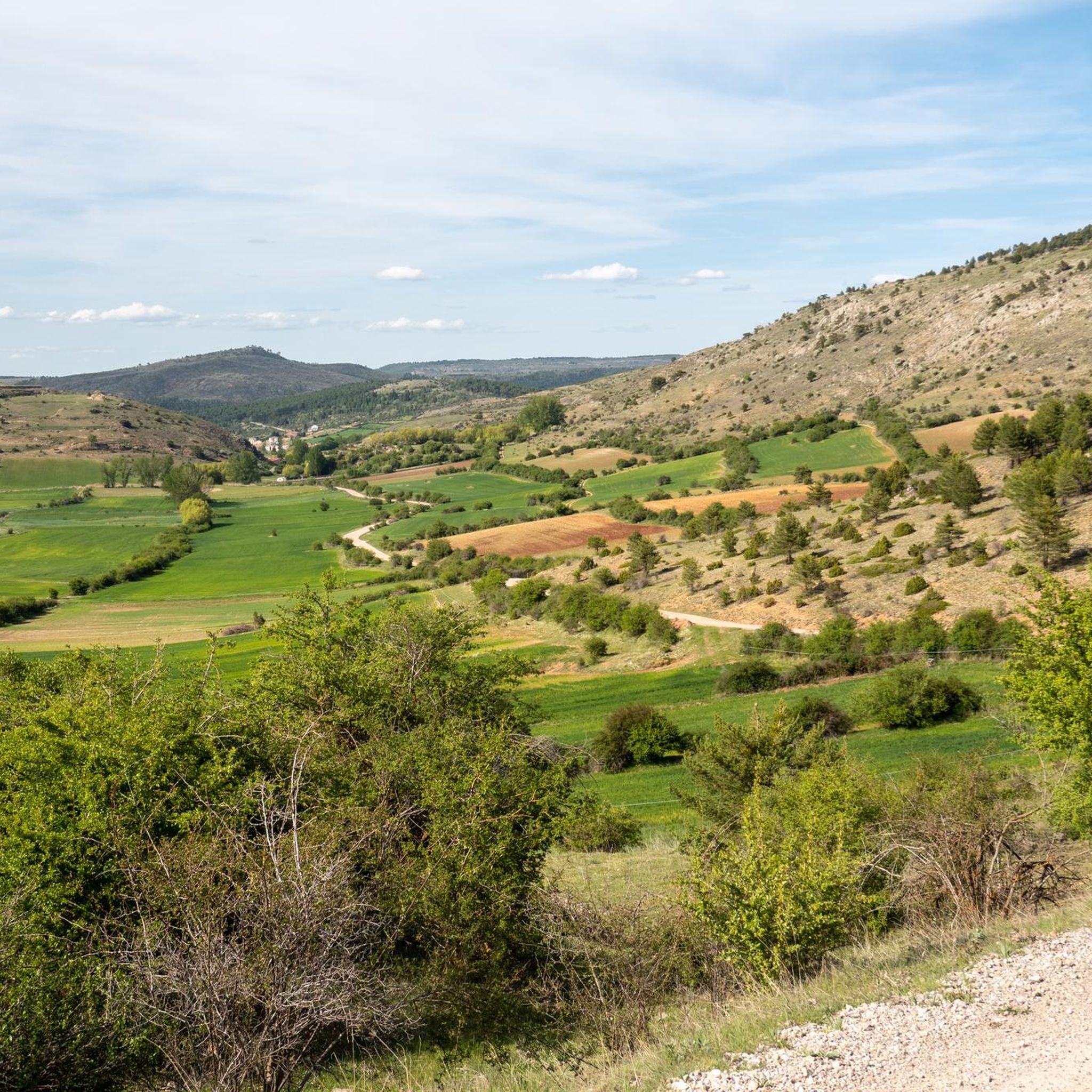
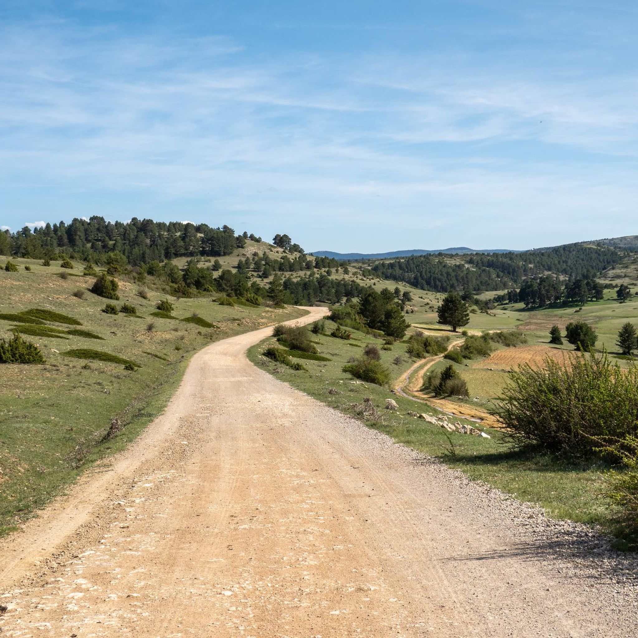
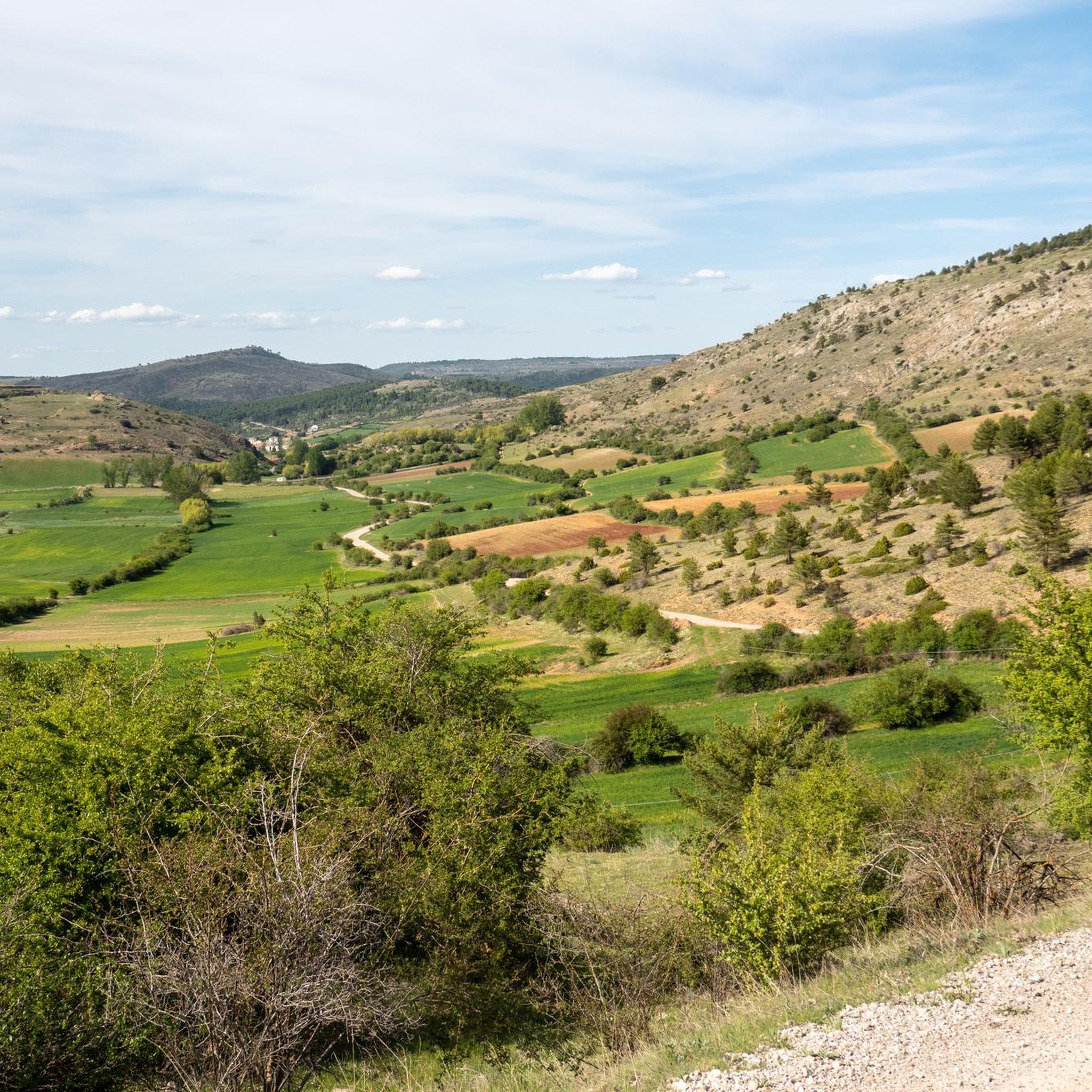
Road cycling routes around Checa are set within the Alto Tajo Natural Park, offering diverse terrain at elevations between 1,360 and 1,480 meters. The region features picturesque valleys flanked by hills, dense pine forests, and spectacular ravines carved by abundant streams. Cyclists can explore quiet roads through open landscapes, encountering unique geological formations and varied botanical interests.
Best road cycling routes around Checa
- The most popular road cycling route is Serranía de Cuenca and Alto Tajo Loop, a 79.1…
Last updated: August 23, 2026
4.0
(1)
24
riders
127km
06:35
2,210m
2,210m
Hard road ride. Very good fitness required. Some segments of this route may be unpaved and difficult to ride.
12
riders
92.3km
04:56
1,610m
1,610m
Hard road ride. Very good fitness required. Mostly well-paved surfaces and easy to ride.

Sign up for free
5
riders
142km
07:31
2,470m
2,470m
Hard road ride. Very good fitness required. Mostly well-paved surfaces and easy to ride.
5.0
(1)
43
riders
85.1km
04:27
1,460m
1,460m
Hard road ride. Very good fitness required. Mostly well-paved surfaces and easy to ride.
14
riders
83.8km
04:11
1,350m
1,350m
Hard road ride. Very good fitness required. Mostly well-paved surfaces and easy to ride.
Get access to more routes and recommendations from other explorers.
Sign up for free
Already have an account?
Our route recommendations are based on thousands of hikes, rides, and runs completed by other people on komoot.
Start today with a free account
Your next adventure awaits.
Login or Signup
Popular around Checa
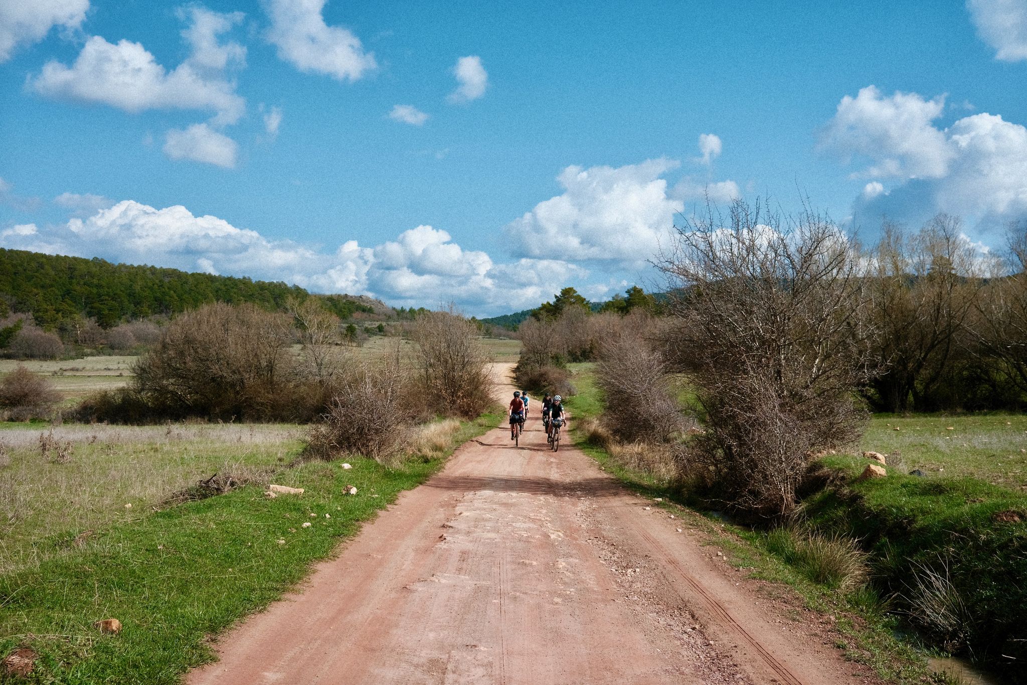
Women's Montañas Vacías 2022 — bikepack in rural Spain

MontañasVacías official — bikepacking across the Spanish Lapland

Albarracín to Toledo – Eastern Tagus Nature Trail
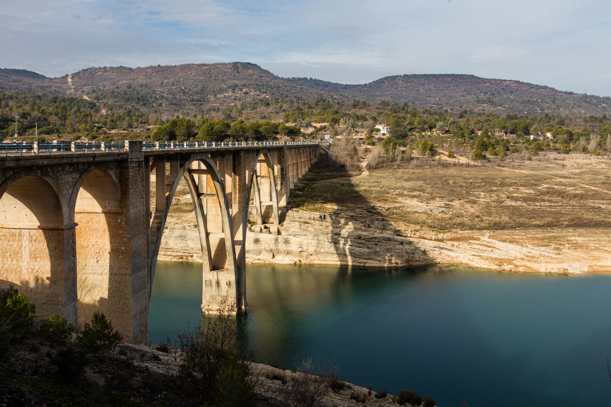
A journey on the Iberian Peninsula – Tagus Nature Trail
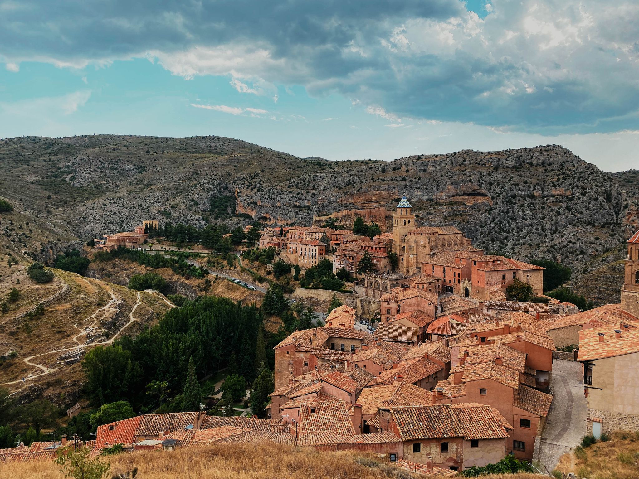
The Three Taifas by gravel bike – El Camino del Cid
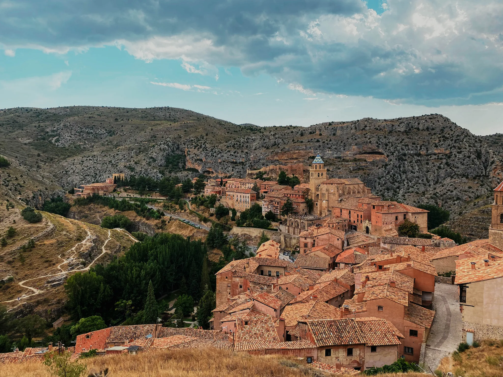
The Way of El Cid by bike – The Three Taifas
Cycling around Checa
Hiking around Checa
Running Trails around Checa
MTB Trails around Checa
Other adventures around Checa


Tips from the Community

The "Strada del fiume Guadalquivir" corresponds to the pedestrian and road route that runs alongside the river in Andalusia, predominantly known in Seville as Paseo de Las Delicias. This avenue allows you to admire the most famous views of the Spanish city.
0
0

Viewpoint for the church offers a great view over the valley
0
0
Beautiful place, the village, the castle, the church, everything!
0
1

The stretch of the A-1704 between Albarracín and Calomarde is one of the most spectacular in the Sierra de Albarracín, ideal for exploring by car or even combining with hiking.
2
0
The section of the A-1512 that starts in Albarracín and heads toward Noguera de Albarracín and Orihuela del Tremedal is known for its spectacular natural beauty. This route passes through gorges, dense pine and holm oak forests, and areas of outstanding scenic value such as the Tremedales de Orihuela, with unique features such as rocky rivers and peat bogs.
1
0

This is one of the attractions of the mountains, offering a natural spectacle as we observe the significant source of the Cuervo River. The area also offers parking, rest areas, and several bars and restaurants for lunch.
8
0
Here we find some informational signs about the spring of the famous Cuervo River. In this area, there are ample parking and shaded areas where you can rest.
8
0
We are at the entrance to the source of the Cuervo River, where there are shaded areas and open spaces for parking, as well as stone tables for lunch if we wish.
9
0
Frequently Asked Questions
How many road cycling routes are available around Checa?
There are over 10 road cycling routes around Checa, offering diverse terrain within the Alto Tajo Natural Park. These routes are highly rated by the komoot community, with an average score of 5.0 stars.
What is the typical difficulty level for road cycling routes in Checa?
Road cycling in Checa is generally challenging due to the region's high elevation, ranging from 1,360 to 1,480 meters above sea level. Most routes are classified as difficult, with 11 out of 12 routes falling into this category. There is one moderate route available for those seeking a slightly less demanding ride.
Are there any circular road cycling routes starting from Checa?
Yes, Checa offers excellent circular road cycling options. A notable example is the Climb to the ports of Muela de San Juan and Puerto de Noguera — circular from Checa, which is a difficult 57.4-mile (92.3 km) path featuring significant elevation gains through mountainous terrain.
What kind of landscapes can I expect to see while road cycling in Checa?
Road cycling routes around Checa traverse stunning natural landscapes within the Alto Tajo Natural Park. You'll encounter picturesque valleys flanked by hills, dense pine forests like the Dehesa de La Espineda, and spectacular ravines carved by abundant streams. The region also features unique geological formations, such as the red sandstone landscapes near Chequilla, and varied botanical interests.
Are there any scenic viewpoints or natural attractions along the road cycling routes?
Absolutely. The region is rich in natural beauty. You can find unique rock formations like The towers of Chequilla, or explore the Source of the Cuervo River. The area also boasts impressive canyons such as Peralejos de las Truchas Canyon and the Estrecho del Infierno, offering breathtaking views.
What is the best time of year for road cycling in Checa?
Given Checa's elevation (1,360-1,480 meters), the warmer months, typically from late spring through early autumn, offer the most favorable weather conditions for road cycling. During this period, you can enjoy open landscapes, quiet roads, and gentle hills without the challenges of colder temperatures or potential snow at higher altitudes.
Are there any long-distance road cycling routes in the Checa area?
Yes, Checa is an excellent base for long-distance road cycling. Routes like the Birth of the Tajo River - circular through the Montes Universales span 88.1 miles (141.9 km) and can take around 7 hours 30 minutes. Another significant option is the Serranía de Cuenca and Alto Tajo Loop, a 79.1-mile (127.3 km) trail.
What do other road cyclists enjoy most about road cycling in Checa?
The komoot community highly rates road cycling in Checa, with an average score of 5.0 stars. Cyclists often praise the region's stunning natural landscapes, the quiet roads with minimal traffic, and the varied terrain that provides a rewarding challenge. The integration within the Alto Tajo Natural Park is also a significant draw.
Are there any cultural or historical points of interest near the cycling routes?
Beyond the natural beauty, Checa and its surroundings offer cultural insights. You can explore traditional Molinés houses from the 18th century in Checa itself, or visit the 17th-century Church of San Juan Bautista. For a glimpse into the past, archaeological sites like the Celtiberian settlement of Castil de Griegos are also nearby.
What are some of the key features of the Alto Tajo Natural Park that make it suitable for road cycling?
The Alto Tajo Natural Park, where Checa is located, is renowned for its diverse habitats and invaluable natural landscapes. For road cycling, it offers a network of paths and forest tracks, including sections of the Camino Natural del Alto Tajo. The park's varied terrain, from dense pine forests to deep ravines and high-altitude valleys, provides both scenic beauty and challenging rides, with minimal traffic on its open roads.
Are there any towns or settlements worth visiting while cycling in the area?
Yes, several charming settlements are worth exploring. The village of Checa itself is a great starting point. Nearby, you can visit Orihuela del Tremedal or Griegos, which offer a glimpse into traditional Spanish village life and architecture.
Most popular attractions around Checa

Get inspired with the komoot mobile app


Explore more
Browse the best Road cycling routes in other regions.
