The best road cycling routes around Beniatjar
4.6
(18)
2,233
riders
60
rides
Road cycling routes around Beniatjar are characterized by a mountainous setting within the Albaida Valley, offering varied terrain for cyclists. The region is dominated by the Serra de Benicadell, which rises to 1,104 meters, providing significant elevation changes and challenging climbs. Terraced olive groves cover the lower slopes, creating scenic backdrops for rides. This landscape offers diverse routes for road cyclists seeking both endurance tests and picturesque journeys.
Best road cycling routes around Beniatjar
- The most popular road cycling route is Palacio de los Milà y Aragón loop from Otos, a 21.7 miles (35.0 km) trail that takes 2 hours 19 minutes to complete. This moderate route winds through the region's characteristic terraced olive groves.
- Another top favourite among local road cyclists is Palacio de los Milà y Aragón loop from Castelló de Rugat, a moderate 25.8 miles (41.6 km) path. This route offers varied terrain within the Albaida Valley, featuring some challenging climbs.
- Local road cyclists also love the Port de Tollos – Beniarrés Reservoir loop from la Pobla del Duc, a 64.9 miles (104.4 km) trail leading through the foothills of the Serra de Benicadell, often completed in about 5 hours 28 minutes.
- Road cycling around Beniatjar is defined by the prominent Serra de Benicadell, extensive terraced olive groves, and the undulating terrain of the Albaida Valley. The network offers options for easy, moderate, and difficult routes, catering to different ability levels.
- The routes in Beniatjar are highly rated by the komoot community with an average score of 4.5 stars from more than 20 reviews. More than 1,700 road cyclists have used komoot to explore Beniatjar's varied terrain.
Last updated: June 26, 2026
5.0
(1)
70
riders
37.0km
01:55
420m
420m
Moderate road ride. Good fitness required. Some segments of this route may be unpaved and difficult to ride.
49
riders
35.0km
02:20
400m
400m
Moderate road ride. Good fitness required. Mostly well-paved surfaces and easy to ride.

Sign up for free
5.0
(1)
41
riders
40.1km
01:56
550m
550m
Moderate road ride. Good fitness required. Mostly well-paved surfaces and easy to ride.
66
riders
48.7km
02:30
650m
650m
Moderate road ride. Good fitness required. Mostly well-paved surfaces and easy to ride.
5.0
(1)
38
riders
104km
05:28
1,800m
1,800m
Hard road ride. Very good fitness required. Some segments of this route may be unpaved and difficult to ride.
Get access to more routes and recommendations from other explorers.
Sign up for free
Already have an account?
Our route recommendations are based on thousands of hikes, rides, and runs completed by other people on komoot.
Start today with a free account
Your next adventure awaits.
Login or Signup

Tips from the Community

A little run-down these days. But the Gaudí style is unmistakable.
4
0

Gorga is a peaceful village in Alicante’s El Comtat region, perched at about 545 metres above sea level. With around 280 inhabitants, it lies at the edge of the Vall de Seta, surrounded by olive groves, almond trees and dry stone terraces. Sheltered by the southern slopes of the Serra de la Serrella, Gorga is the kind of place where time moves slowly and the road ahead always promises something quieter. For cyclists, Gorga is a perfect transition point. Heading north, it connects directly to the beautiful and quiet climbs of Quatretondeta, Fageca, and Castell de Castells. To the south, it links naturally to the long ascents toward Confrides, Puerto de Tudons, or the scenic CV-70 corridor that cuts across the Sierra de Aitana. Whether you’re climbing up from Benilloba or descending from the high passes, Gorga offers a natural pause — a breather between bigger efforts. The village itself is small but welcoming: a shaded plaza, a trickling fountain, and the occasional bar where you might catch a conversation or a cool drink. There’s little traffic and plenty of charm. With its central location and quiet atmosphere, Gorga isn’t just a waypoint — it’s one of those places that grounds a ride, offering rhythm between the climbs. Cycling tip: If you’re linking big climbs like Puerto de Tudons with the Serrella villages, Gorga makes an ideal rest point. Top up your bottles, take in the view, and enjoy the calm before the next ascent.
3
0
Ruta 99 – An Ode to Alicante’s Forgotten Villages ⚠️ Ruta 99 is not an official cycling route, but many sections can be explored by road bike or gravel bike. Ideal for cyclists seeking quiet, off-the-beaten-path roads through inland Alicante. Ruta 99 is a circular long-distance hiking route connecting the 24 smallest villages in the province of Alicante — each with fewer than 100 inhabitants. Created by the regional government of Valencia, the route draws attention to the cultural and historical value of these remote communities, and promotes sustainable rural tourism. Whether on foot or by bike, Ruta 99 is a journey into silence, heritage, and raw Mediterranean landscapes. ⸻ 🏞 What to Expect The route weaves through the lesser-known inland regions of Marina Alta, El Comtat, L’Alcoià, and Vall d’Albaida, taking you through rugged mountains, almond groves, and centuries-old villages clinging to the hillsides. Highlights include: • Tollos – with fewer than 40 residents, one of the quietest villages in Spain • Fageca, Benimassot, Famorca, and La Vall d’Alcalà – rich in Moorish heritage • Sempere – the smallest village in the entire Valencian Community • Castell de Castells, Alcoleja, and Quatretondeta – with breathtaking views of the Serrella and Aitana mountain ranges ⸻ 🚶 For Hikers • Total distance: Approx. 450 km, divided into 20 stages • Waymarked: Yes, with distinctive Ruta 99 signage • Passport: Available to collect stamps in each village, similar to the Camino de Santiago • Accommodation: Local guesthouses, small hotels, and rural lodges ⸻ 🚴 For Adventurous Cyclists While Ruta 99 is designed for hiking, many of its paved segments are ideal for road or gravel biking. The route offers: • Quiet roads with almost no traffic • A chance to discover authentic inland villages • A mix of long climbs, rolling hills, and open landscapes Keep in mind: • Services (shops, cafés) are sparse — bring water, snacks, and tools • Some segments are unpaved or in poor condition, so check your route in advance • A gravel bike offers the most flexibility ⸻ 🌿 More Than a Route Ruta 99 is not just a trail — it’s a tribute to resilience, memory, and slow travel. These villages may be small, but they are full of stories. Whether you’re hiking or cycling, you’ll experience a different side of Alicante — one of silence, tradition, and raw natural beauty.
2
0

Having lunch at the La Oliva bar in Beniarrés at the foot of the Benicadell is an experience that is nothing short of mystical. Here, breakfast is a religion.
0
0


After arriving a lorxa castle keep going do not turn left after 2km and cross the main road and head down to the river. There is NO bridge to cross a very deep river 26/3/25. Instead keep going along the top rural road till you meet the main road cross it directly drop left down the rural road and shoot through the long tunnel, arriving at village, then several options to get to the lake.
1
0

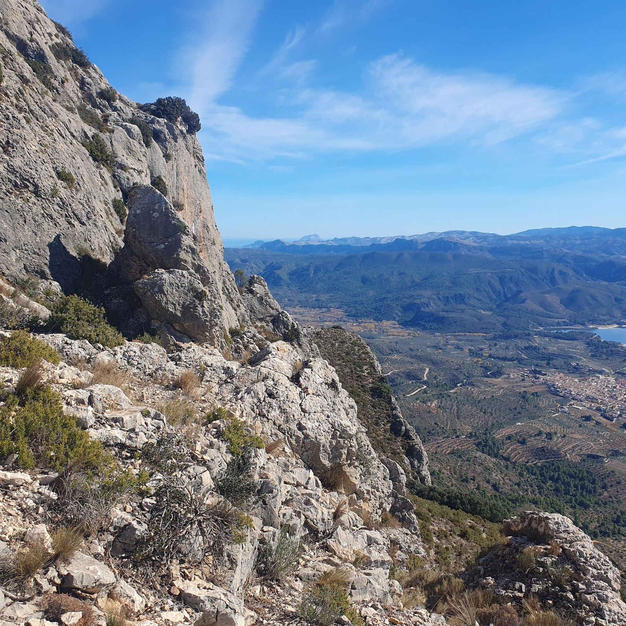
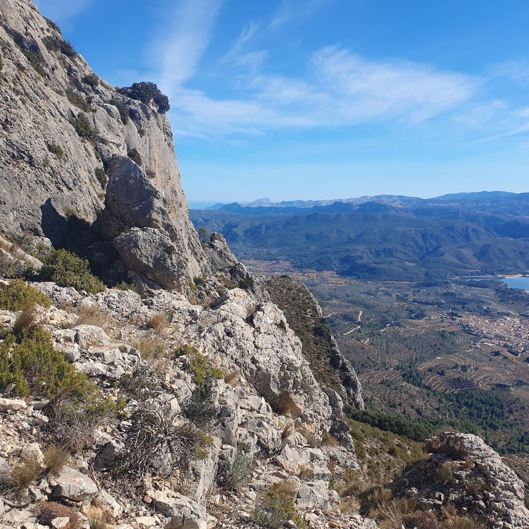
There are several points along this route from which you can admire the impressive silhouette of the Benicadell massif. The Alt de Benicadell, with a height of 1,105 metres, is a prominent peak in the Sierra de Benicadell, which forms a natural border between the provinces of Valencia and Alicante. The region around the Benicadell offers numerous opportunities for cycling tours that lead through varied landscapes with impressive views.
5
0

Carry out good development
1
0
Frequently Asked Questions
What kind of terrain can I expect when road cycling near Beniatjar?
Road cycling around Beniatjar is characterized by a mountainous setting within the Albaida Valley. You'll encounter significant elevation changes and challenging climbs, especially with the prominent Serra de Benicadell dominating the landscape. The lower slopes are covered in picturesque terraced olive groves, offering scenic backdrops and varied terrain for both endurance tests and enjoyable rides.
How many road cycling routes are available around Beniatjar?
There are over 50 road cycling routes available around Beniatjar, catering to various skill levels. This includes 5 easy routes, 27 moderate routes, and 22 difficult routes, ensuring options for every cyclist.
Are there challenging road cycling routes for experienced cyclists?
Yes, Beniatjar offers several challenging routes. For instance, the Port de Tollos – Beniarrés Reservoir loop from la Pobla del Duc is a difficult 104.4 km trail with over 1,800 meters of elevation gain, typically taking around 5 hours 28 minutes. Another demanding option is the Dénia Castle – Les Bovetes Beach loop from la Pobla del Duc, a 123.1 km route with over 700 meters of ascent.
What are some scenic landmarks or natural features I might see along the routes?
The routes often wind through terraced olive groves with views of the majestic Serra de Benicadell. You can also encounter natural attractions like the Greenway of the Serpis River, the Toll de l’Estret gorge, or the beautiful Gorg del Salt de Planes waterfall. Many routes also pass by the Beniarrés Reservoir, offering picturesque lakeside views.
What do other road cyclists enjoy the most about road cycling in Beniatjar?
The area is highly rated by the komoot community, with an average score of 4.5 stars from over 20 reviews. Cyclists frequently praise the diverse terrain, from challenging mountain climbs to scenic rides through olive groves, and the tranquil rural setting away from heavy traffic.
Are there any circular road cycling routes around Beniatjar?
Yes, many routes in the area are circular. For example, the Palacio de los Milà y Aragón loop from Otos is a moderate 35 km circular trail. Another popular option is the Palacio de los Milà y Aragón loop from Castelló de Rugat, a 41.6 km moderate loop offering varied terrain.
What is the best season for road cycling in Beniatjar?
Given the Mediterranean climate, spring and autumn are generally ideal for road cycling in Beniatjar, offering pleasant temperatures. Summers can be hot, especially for challenging climbs, while winters are typically mild, making year-round cycling possible, though cooler temperatures and occasional rain should be considered.
Are there any historical sites or cultural points of interest near the cycling routes?
Beyond the natural beauty, the region offers glimpses into history. The village of Beniatjar itself has charming narrow streets reflecting its Arab past and 18th-19th century architecture. Hikers can explore sites like the ruins of Carbonera Castle or an old icehouse near Benicadell's peak, and the Coves del Castellet contain Bronze Age rock art, offering a rich cultural backdrop to your rides.
Are there any easy or beginner-friendly road cycling routes?
Yes, Beniatjar offers 5 easy routes suitable for beginners or those looking for a more relaxed ride. These routes typically feature less elevation gain and shorter distances, allowing you to enjoy the scenic olive groves and quiet roads at a comfortable pace.
Can I find long-distance road cycling routes in the Beniatjar area?
Absolutely. For cyclists seeking longer distances, routes like the Port de Tollos – Beniarrés Reservoir loop from la Pobla del Duc covers 104.4 km, and the Dénia Castle – Les Bovetes Beach loop from la Pobla del Duc extends to 123.1 km, providing ample opportunity for extensive rides.
What kind of elevation gains can I expect on road cycling routes around Beniatjar?
Due to the proximity of the Serra de Benicadell, elevation gains can vary significantly. Moderate routes like the Roadbike loop from Otos feature around 625 meters of ascent over 45.3 km, while more difficult routes can involve over 1,800 meters of climbing, offering a good challenge for those seeking significant vertical meters.
Most popular attractions around Beniatjar

Get inspired with the komoot mobile app


Explore more
Browse the best Road cycling routes in other regions.
