The best running trails around Zizurkil
4.4
(144)
9,382
runners
187
runs
Jogging around Zizurkil offers a diverse range of running experiences, with routes that traverse varied terrain. The region features numerous loops that often include significant elevation changes, leading to hills and summits. Runners can expect paths that wind through natural landscapes, providing options for different fitness levels. The area's geography supports both moderate and challenging running routes.
Best jogging routes around Zizurkil
- The most popular jogging route is Ernio loop from Asteasu, a 10.8 miles (17.3 km) trail that…
Last updated: May 11, 2026
19
runners
17.2km
02:39
920m
920m
Hard run. Very good fitness required. Sure-footedness, sturdy shoes and alpine experience required.
13
runners
10.7km
01:18
270m
270m
Moderate run. Good fitness required. Mostly paved surfaces. Suitable for all skill levels.

Sign up for free
10
runners
11.9km
01:46
590m
590m
Hard run. Very good fitness required. Sure-footedness, sturdy shoes and alpine experience required.
15
runners
43.6km
06:48
2,160m
2,160m
Hard run. Very good fitness required. Sure-footedness, sturdy shoes and alpine experience required.
12
runners
46.1km
07:01
2,310m
2,310m
Hard run. Very good fitness required. Sure-footedness, sturdy shoes and alpine experience required.
Get access to more routes and recommendations from other explorers.
Sign up for free
Already have an account?
Our route recommendations are based on thousands of hikes, rides, and runs completed by other people on komoot.
Start today with a free account
Your next adventure awaits.
Login or Signup
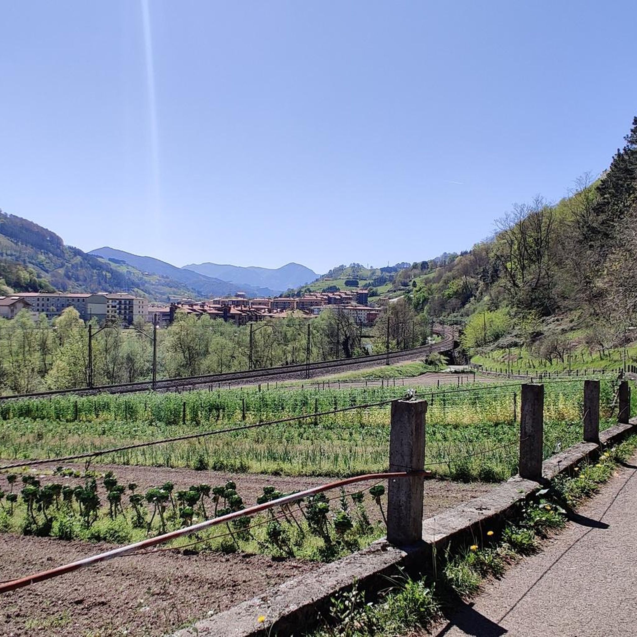
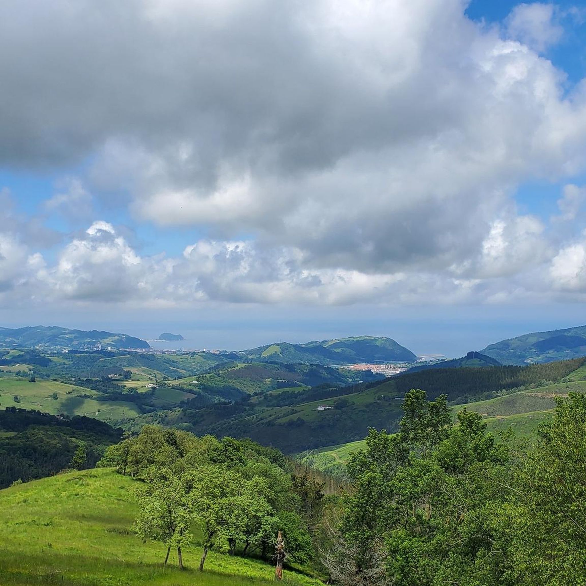
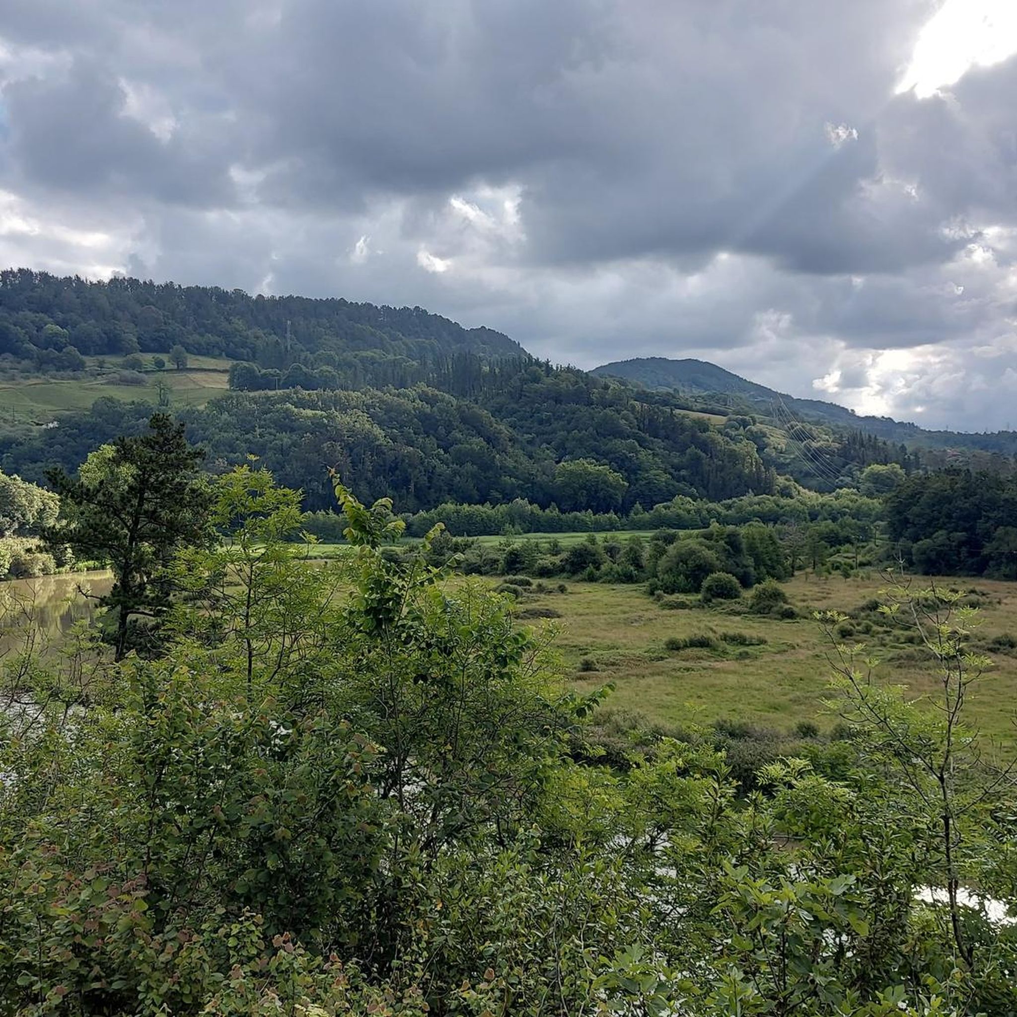
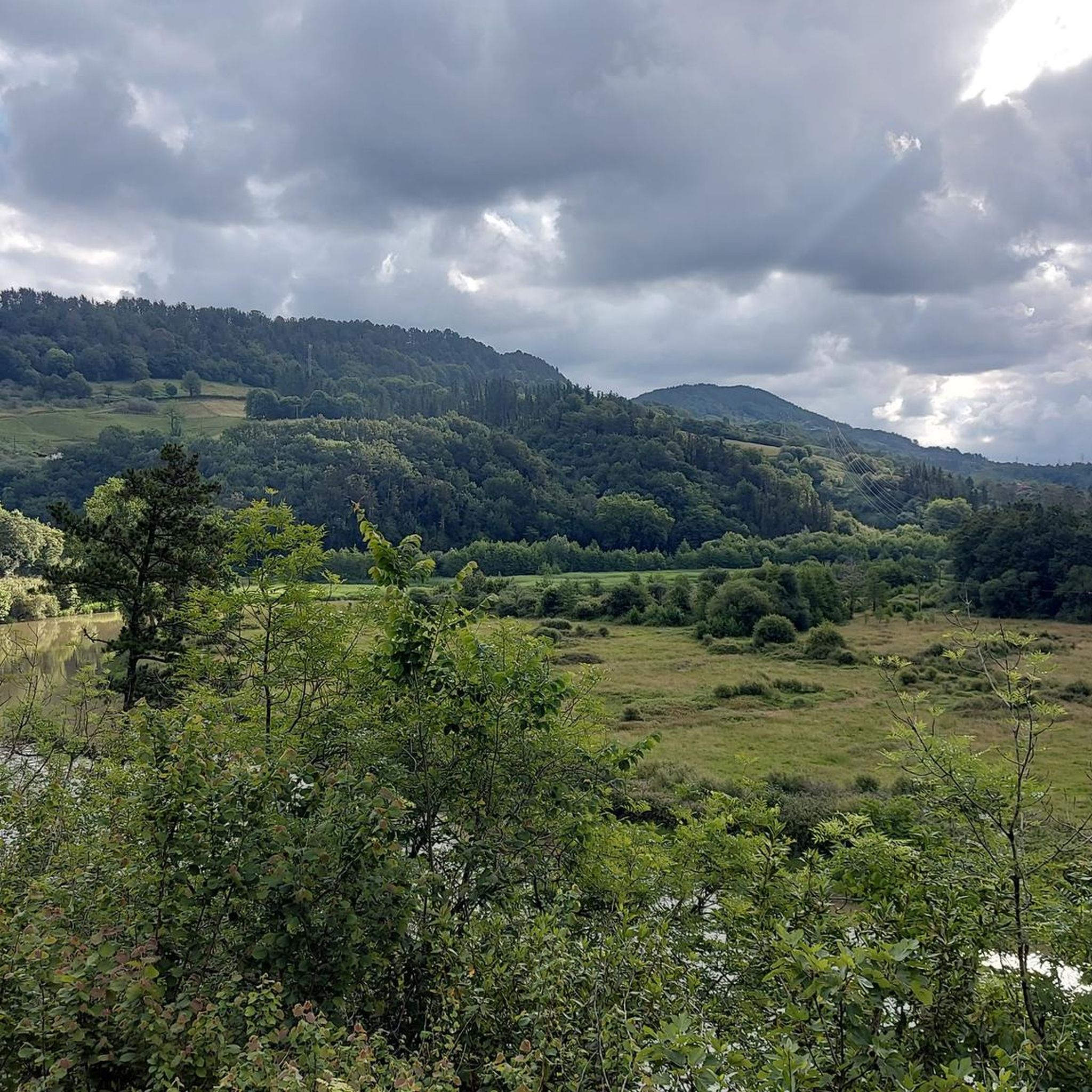

Tips from the Community

Point before reaching the summit of Ernio. The pilgrimage takes place on Sundays in September. At this point, the hermit who sells cowbells and ribbons stands.
1
0

Scene of a famous battle, in the middle of a large field and surrounded by a herd of horses.
4
0
It is a modest peak, but it is difficult to reach from the Izaskun neighbourhood. You have to be a little careful not to slip in the last few metres of the north face.
4
0
Right where the antennas are, and very close to the San Lorenzo hermitage.
3
0
In a mysterious, and even a little gloomy, pine forest.
2
0

This is a special and magical forest. It is thick and green and feels very different from the surrounding peaks. It can be a bit messy when wet and even a bit difficult, but that's part of the fun.
0
0
This trail just below the Belabieta peak is very pretty. It has open fields and beautiful views. So if you don't make it to the top, you still have a good experience.
1
0
It is a steep and somewhat difficult climb in the direction of Belabieta. The views are nice, but you may have to push your bike to enjoy them. On the other hand, it is a fast and fun descent.
1
0
Frequently Asked Questions
How many running routes are available around Zizurkil?
There are over 190 running routes around Zizurkil documented on komoot, offering a wide variety of experiences for different fitness levels and preferences.
Are there easy running trails suitable for beginners in Zizurkil?
Yes, Zizurkil offers several easy running trails. While many routes feature elevation changes, there are options designed for beginners. You can find about 10 easy routes in the area, perfect for those starting their running journey or looking for a less strenuous run.
What kind of terrain can I expect on jogging routes in Zizurkil?
Jogging routes in Zizurkil are characterized by diverse terrain, often including significant elevation changes leading to hills and summits. You'll find paths winding through natural landscapes, offering a mix of challenging ascents and scenic stretches.
Are there any circular running routes in the Zizurkil area?
Yes, many of the running routes around Zizurkil are circular, allowing you to start and finish at the same point. For example, the Komizargaña loop from Villabona-Zizurkil is a popular moderate circular route, and the challenging Urdelar Summit (2049 m) loop from Villabona-Zizurkil also forms a loop.
Can I find advanced running routes with significant elevation gain in Zizurkil?
Absolutely. Zizurkil is known for its challenging routes with substantial elevation gain. For experienced runners, the Ernio loop from Asteasu is a difficult 17.3 km trail with over 900 meters of ascent. Another demanding option is the Belabieta – Berrobi loop from Villabona-Zizurkil, which features over 2200 meters of elevation gain.
What do other runners say about the trails in Zizurkil?
The running trails in Zizurkil are highly regarded by the komoot community, boasting an average rating of 4.4 stars from over 140 reviews. Runners frequently praise the varied terrain, the challenging summit loops, and the extensive network of trails that cater to different ability levels.
Are there any viewpoints or natural landmarks to see along the running trails?
While running in Zizurkil, you'll be surrounded by natural beauty. Nearby natural monuments include the Adarra Summit (849 m) and Hernio Summit, offering panoramic views. You might also encounter historical sites like the Tontortxiki Prehistoric Tombs and Rest Area.
Are the running routes in Zizurkil suitable for families?
Many of Zizurkil's routes involve significant elevation changes, which might be challenging for younger children. However, with over 10 easy routes available, families can find shorter, less strenuous options. It's always recommended to check the specific route details for distance and elevation before heading out with family.
What is the best time of year for jogging in Zizurkil?
Zizurkil's climate, typical of the Basque Country, offers pleasant conditions for jogging during spring and autumn when temperatures are mild. Summer can be warm, but early mornings or late evenings are often ideal. Winter jogging is possible, but some higher elevation trails might be affected by weather conditions, so checking local forecasts is advisable.
Are there any moderate running routes in Zizurkil?
Yes, Zizurkil has a good selection of moderate running routes, with 93 such trails available. These routes offer a balanced experience with manageable elevation changes and scenic views, such as the Running loop from Asteasu, which is a moderate 12.8 km path.
What are some notable attractions near Zizurkil that I could visit after a run?
After your run, you could explore nearby attractions such as the famous La Concha Beach or the architectural beauty of Miramar Palace. The iconic Peine del Viento sculptures are also within reach.
Most popular attractions around Zizurkil

Get inspired with the komoot mobile app


Explore more
Browse the best Running Trails & Routes in other regions.
