The best walks and hikes around Berrobi
4.5
(215)
2,191
hikers
119
hikes
Hiking around Berrobi offers access to a network of trails primarily characterized by moderate climbs and varied terrain. The region features prominent hills and summits, such as Uzturre, providing panoramic viewpoints. Many routes are circular, guiding hikers through the local landscape. The area's topography supports a range of hiking experiences, from forest paths to open ridgelines.
Best hiking trails around Berrobi
- The most popular hiking route is Uzturre Circular Trail, a 6.5 miles (10.4 km) trail that takes 3…
Last updated: July 5, 2026
4.7
(3)
13
hikers
10.4km
03:34
450m
450m
This moderate 6.5-mile circular hike from Izaskun to Uzturre via Tolosa offers panoramic views and a rewarding summit experience.
4.7
(10)
95
hikers
13.8km
04:53
640m
640m
Moderate hike. Good fitness required. Mostly accessible paths. Sure-footedness required.

Sign up for free
4.8
(9)
73
hikers
10.3km
03:53
640m
640m
Moderate hike. Good fitness required. Mostly accessible paths. Sure-footedness required.
4.5
(4)
75
hikers
8.96km
03:20
600m
600m
Moderate hike. Good fitness required. Easily-accessible paths. Suitable for all skill levels.
5.0
(5)
34
hikers
9.56km
03:34
580m
580m
Moderate hike. Good fitness required. Mostly accessible paths. Sure-footedness required.
Get access to more routes and recommendations from other explorers.
Sign up for free
Already have an account?
Our route recommendations are based on thousands of hikes, rides, and runs completed by other people on komoot.
Start today with a free account
Your next adventure awaits.
Login or Signup
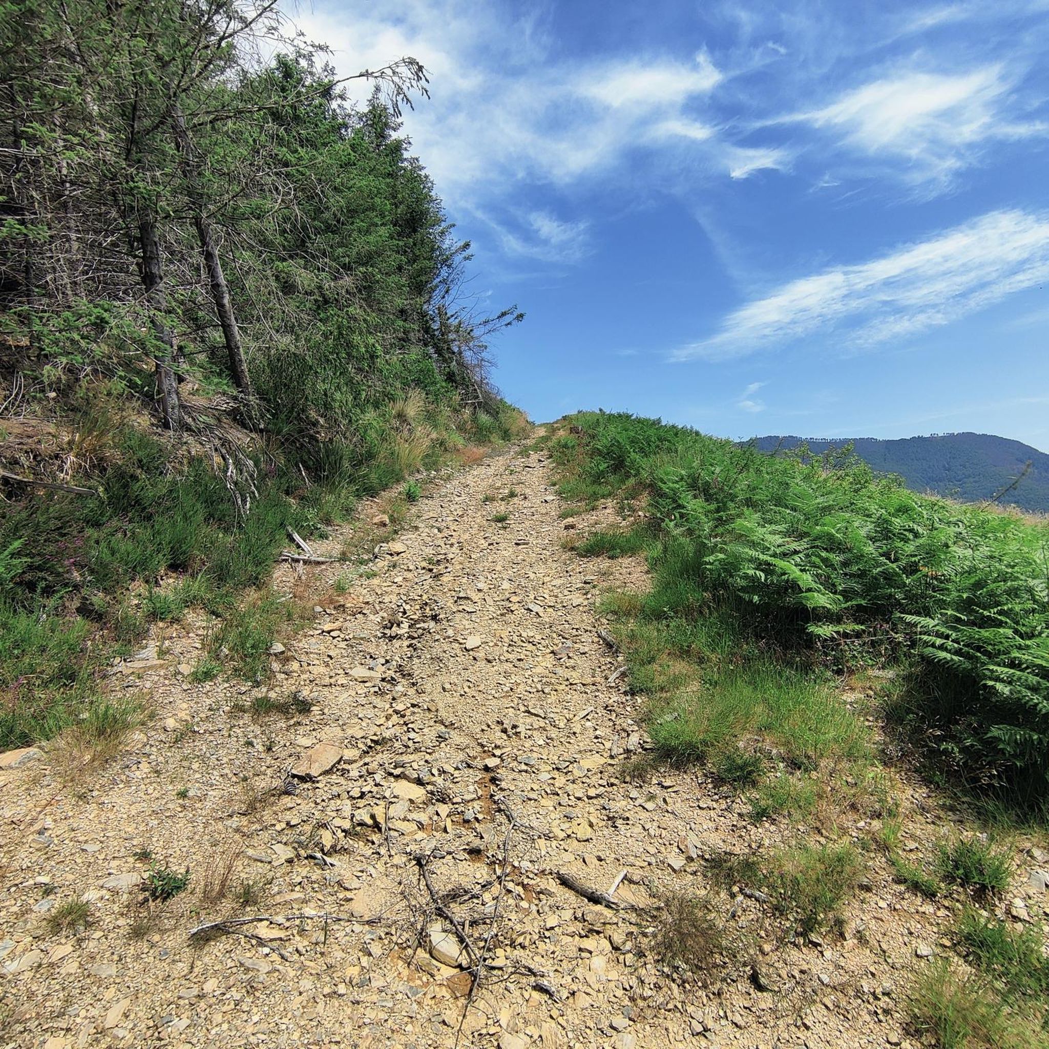
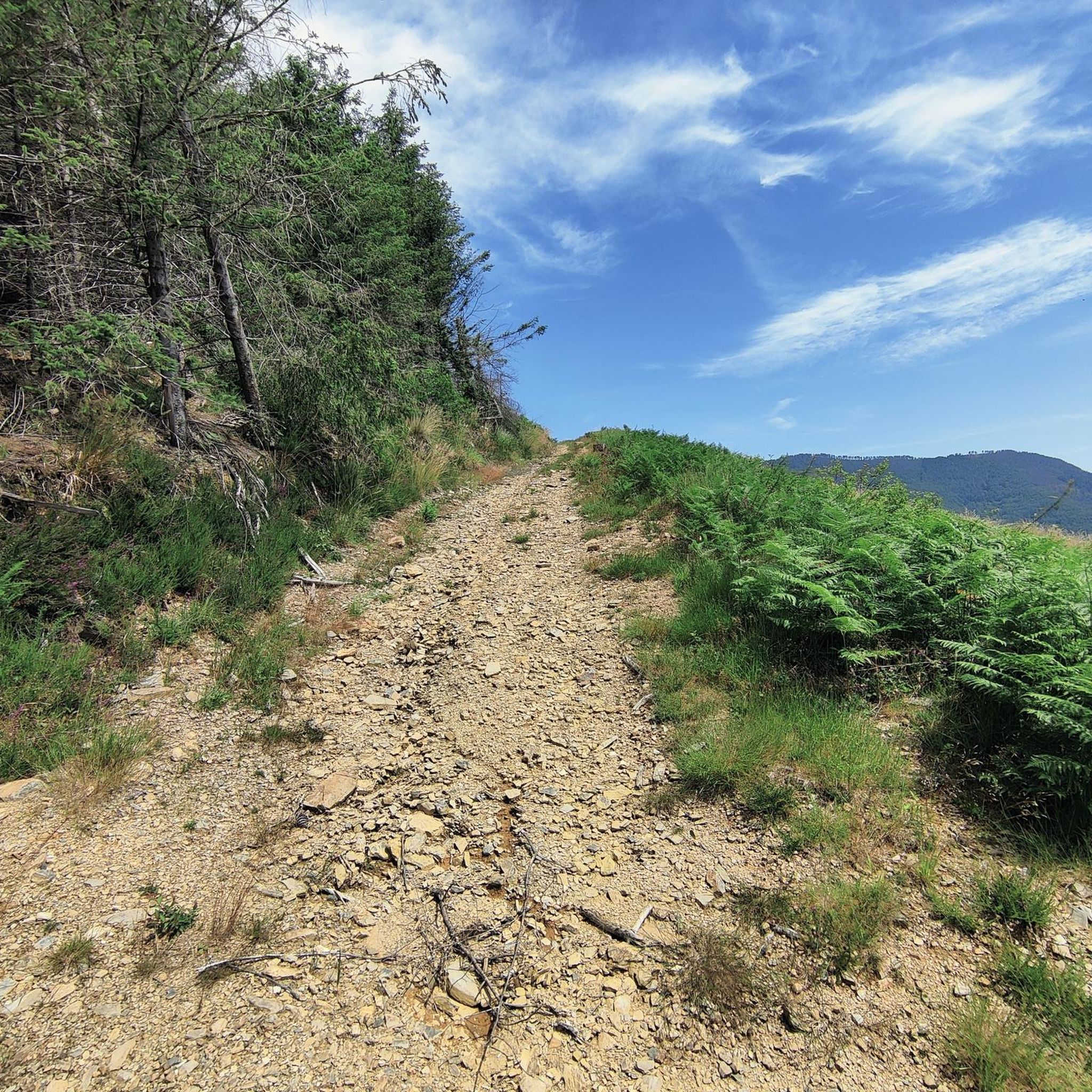



Tips from the Community

Small fountain on the GR, with a metal cup next to it.
3
0
It is a modest peak, but it is difficult to reach from the Izaskun neighbourhood. You have to be a little careful not to slip in the last few metres of the north face.
4
0
One of the most visited places by the inhabitants of Tolosa and its surroundings.
4
0
A stop on the way to the cross, with very good views and a table with a roof.
3
0
Very close to the famous restaurant of the same name.
3
0

Cross with spectacular views located a short distance from the true top of Uzturre.
4
0
Mount Uzturre (733 m.), bounded by the basins of the Oria and Leitzaran rivers, is the quintessential Tolosa ascent. A cross erected in 1927 characterizes it, however the summit is a little higher, hidden by trees and without views, which is why the most popular objective for the mountaineer is found on this cross.
4
1

Tolosa was the capital of Guipúzcoa. To visit the shed, the Plaza del Ayto and the Lettuce square next to the old town.
0
0
Frequently Asked Questions
How many hiking trails are available around Berrobi?
Berrobi offers a wide selection of hiking opportunities, with over 120 routes recorded on komoot. These range from easy strolls to more challenging ascents, catering to various fitness levels.
Are there easy hikes suitable for beginners or families in Berrobi?
Yes, Berrobi has 15 easy hikes that are generally suitable for beginners or families. These routes typically feature gentler terrain and shorter distances, allowing for a relaxed outdoor experience. While specific family-friendly routes aren't highlighted in the data, the 'easy' classification suggests good options.
What kind of terrain can I expect on hikes around Berrobi?
The hiking trails around Berrobi are characterized by varied terrain, including moderate climbs, forest paths, and open ridgelines. You'll encounter prominent hills and summits, such as Uzturre, which offer panoramic viewpoints.
Are there any circular hiking routes in Berrobi?
Many of the routes around Berrobi are circular, providing convenient loops that guide hikers through the local landscape without needing to retrace steps. An example is the Uzturre Circular Trail, which explores the local hillsides.
What are some notable natural attractions or landmarks to see while hiking in Berrobi?
While hiking around Berrobi, you can explore several interesting landmarks and natural features. The Uzturre Summit (733 m) offers expansive views, and the Leitzaran River Valley provides scenic riverside paths. You might also encounter historical sites like the Eteneta Stone Circle.
Can I bring my dog on the hiking trails in Berrobi?
While the guide doesn't specify dog-friendly rules for individual trails, generally, most natural hiking paths in the Berrobi region are suitable for dogs, provided they are kept under control, especially near livestock or in protected areas. Always check local signage for specific restrictions.
Are there options for longer, more challenging hikes near Berrobi?
Yes, for those seeking longer and more challenging experiences, Berrobi offers 39 difficult routes. An example of a longer moderate route is the Uzturre Summit (733 m) – Viewpoint loop from Tolosa, which covers 8.3 miles (13.4 km) and involves significant elevation gain.
What do other hikers say about the trails in Berrobi?
The hiking trails in Berrobi are highly regarded by the komoot community, holding an average rating of 4.6 stars from over 190 reviews. Hikers often praise the varied terrain, the panoramic views from summits like Uzturre, and the well-maintained paths that make for an enjoyable experience.
Is public transport available to reach hiking trailheads in Berrobi?
While specific public transport links to individual trailheads are not detailed in the guide, Berrobi is a small town in the Gipuzkoa province. It's advisable to check local bus schedules for connections from larger nearby towns like Tolosa, which may offer closer access to some starting points.
Are there parking facilities at the trailheads around Berrobi?
Parking availability at specific trailheads can vary. In general, smaller towns like Berrobi often have public parking areas, and some popular trailheads might have designated spaces. It's recommended to check maps or local information for specific parking options near your chosen starting point.
What is the best time of year to go hiking in Berrobi?
The best time to hike in Berrobi generally depends on your preference. Spring and autumn offer pleasant temperatures and vibrant scenery, ideal for comfortable hiking. Summer can be warm, while winter hiking is possible but may require appropriate gear for potentially colder and wetter conditions, especially at higher elevations.
Are there any trails that lead to viewpoints or summits with panoramic views?
Absolutely. Many trails in Berrobi lead to prominent hills and summits, offering excellent panoramic views. The Uzturre Summit (733 m) is a key destination for expansive vistas, with routes like the Cruz de Uzturre – Uzturre Summit (733 m) loop from Tolosa-Centro specifically designed to reach it.
Most popular attractions around Berrobi

Get inspired with the komoot mobile app


Explore more
Browse the best Hikes in other regions.
