The best running trails around Fortanete
3.0
(1)
129
runners
10
runs
Jogging routes around Fortanete are set within a tranquil natural environment at an altitude of 1353 meters, nestled in the basin of the Rambla del Mal Burgo. The region is characterized by the robust Sierra de la Cañada and Tarrascón-Las Lastras mountain ranges, offering varied terrain. Extensive sessile pine forests provide shaded paths, while high, cool pastures offer open spaces for running. The GR-8 trail also crosses the municipality, providing long-distance path options.
Best jogging routes around Fortanete
- The most…
Last updated: June 28, 2026
21
runners
13.1km
01:46
420m
420m
Hard run. Very good fitness required. Mostly paved surfaces. Suitable for all skill levels.
30
runners
20.4km
02:54
800m
800m
Hard run. Very good fitness required. Mostly paved surfaces. Suitable for all skill levels.

Sign up for free
18
runners
Hard run. Very good fitness required. Mostly paved surfaces. Suitable for all skill levels.
4
runners
10.8km
01:20
320m
320m
Hard run. Very good fitness required. Mostly paved surfaces. Suitable for all skill levels.
4
runners
25.8km
03:55
1,360m
1,360m
Hard run. Very good fitness required. Mostly paved surfaces. Suitable for all skill levels.
Get access to more routes and recommendations from other explorers.
Sign up for free
Already have an account?
Our route recommendations are based on thousands of hikes, rides, and runs completed by other people on komoot.
Start today with a free account
Your next adventure awaits.
Login or Signup
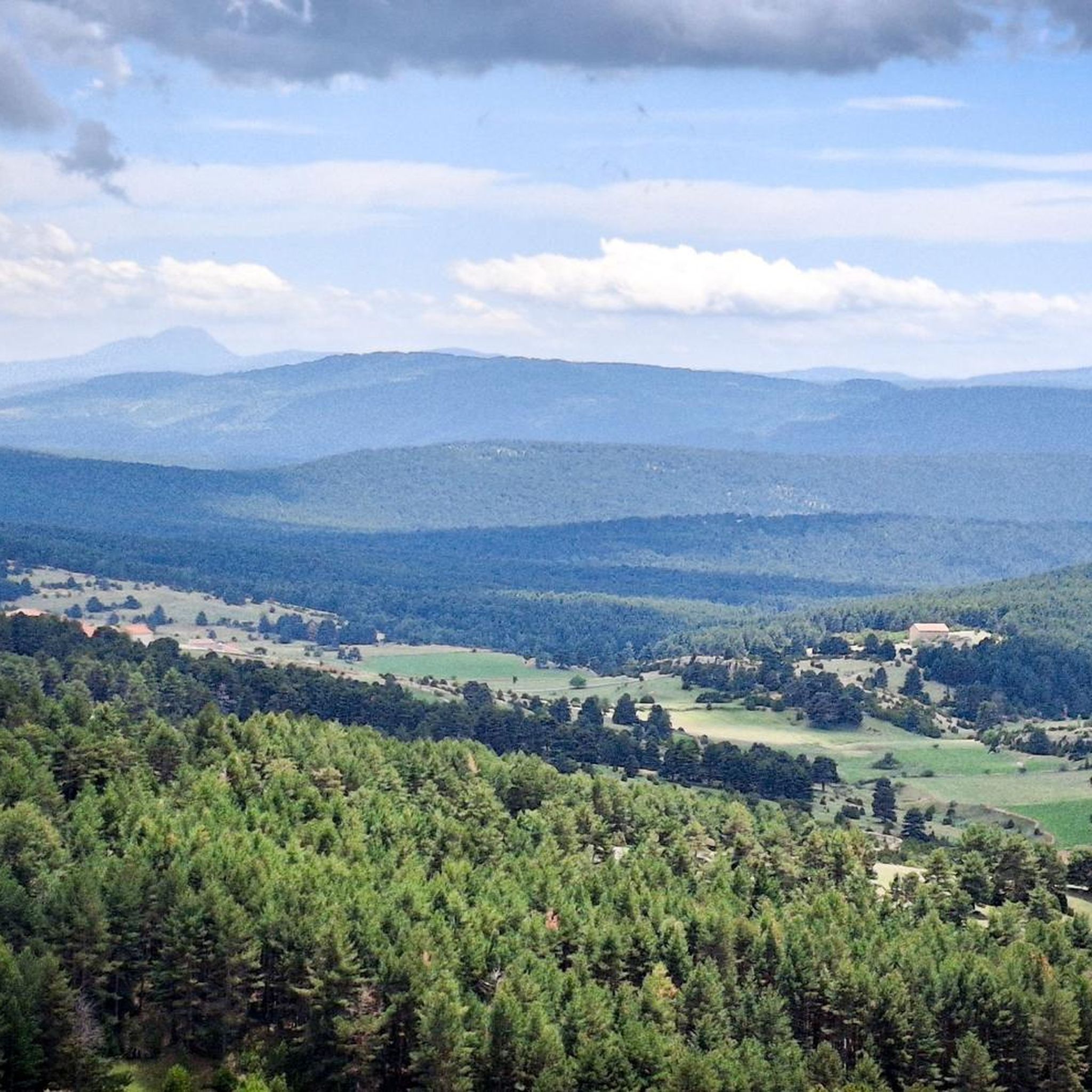
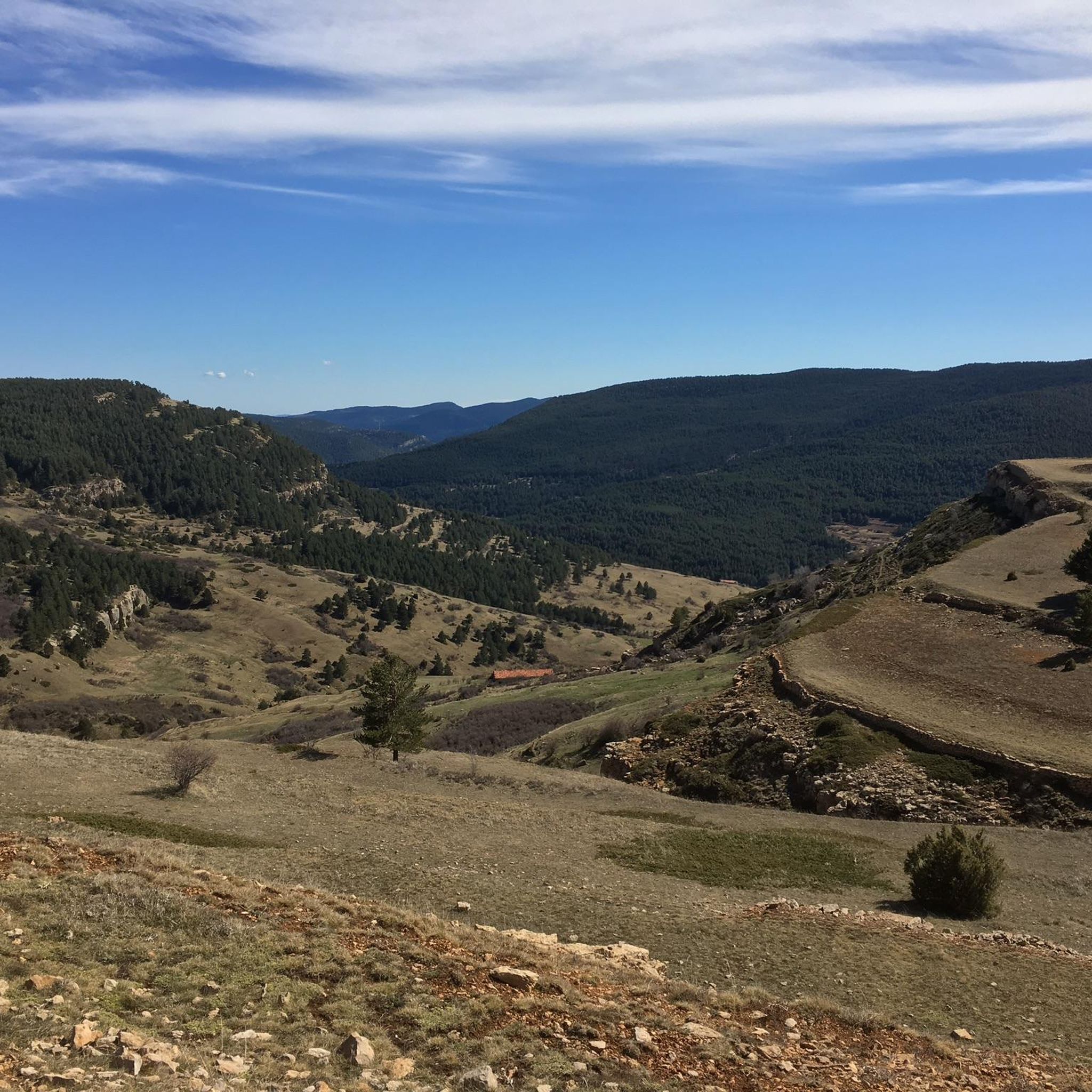
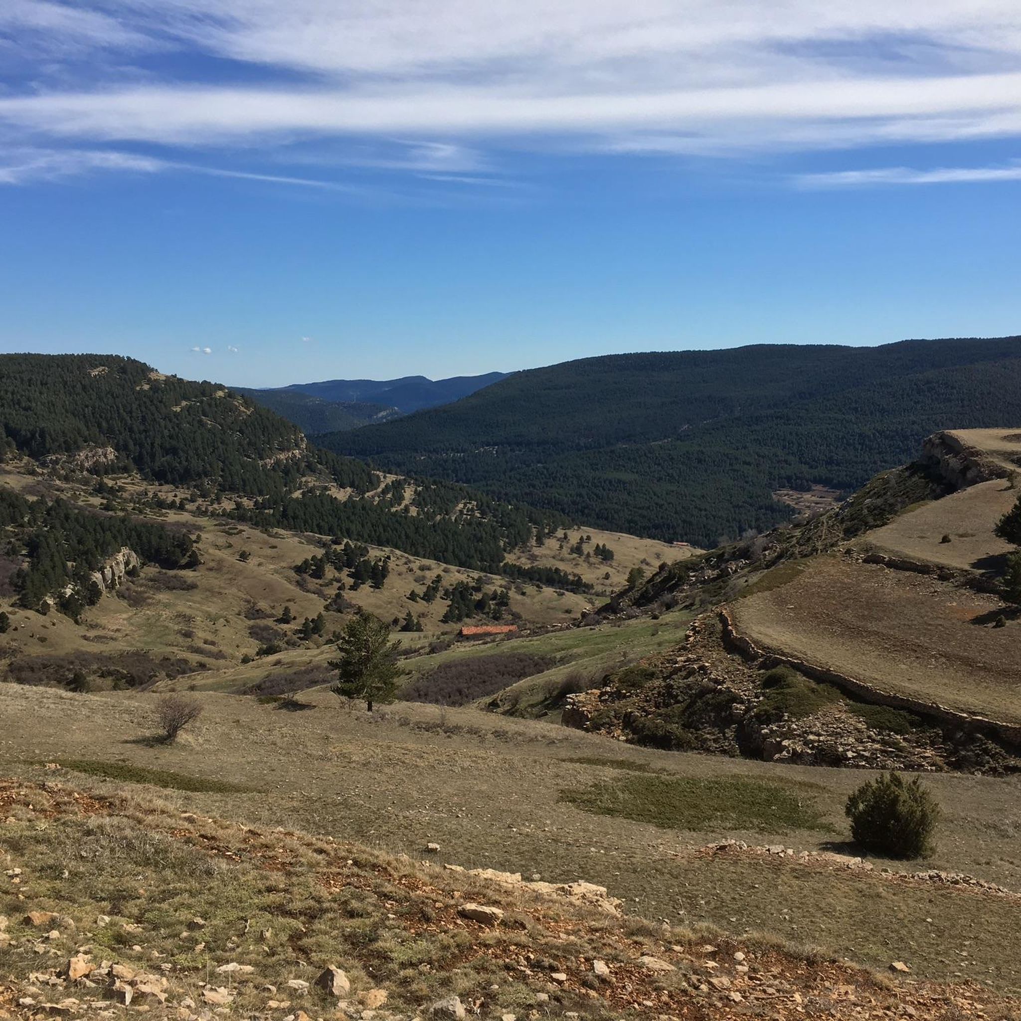
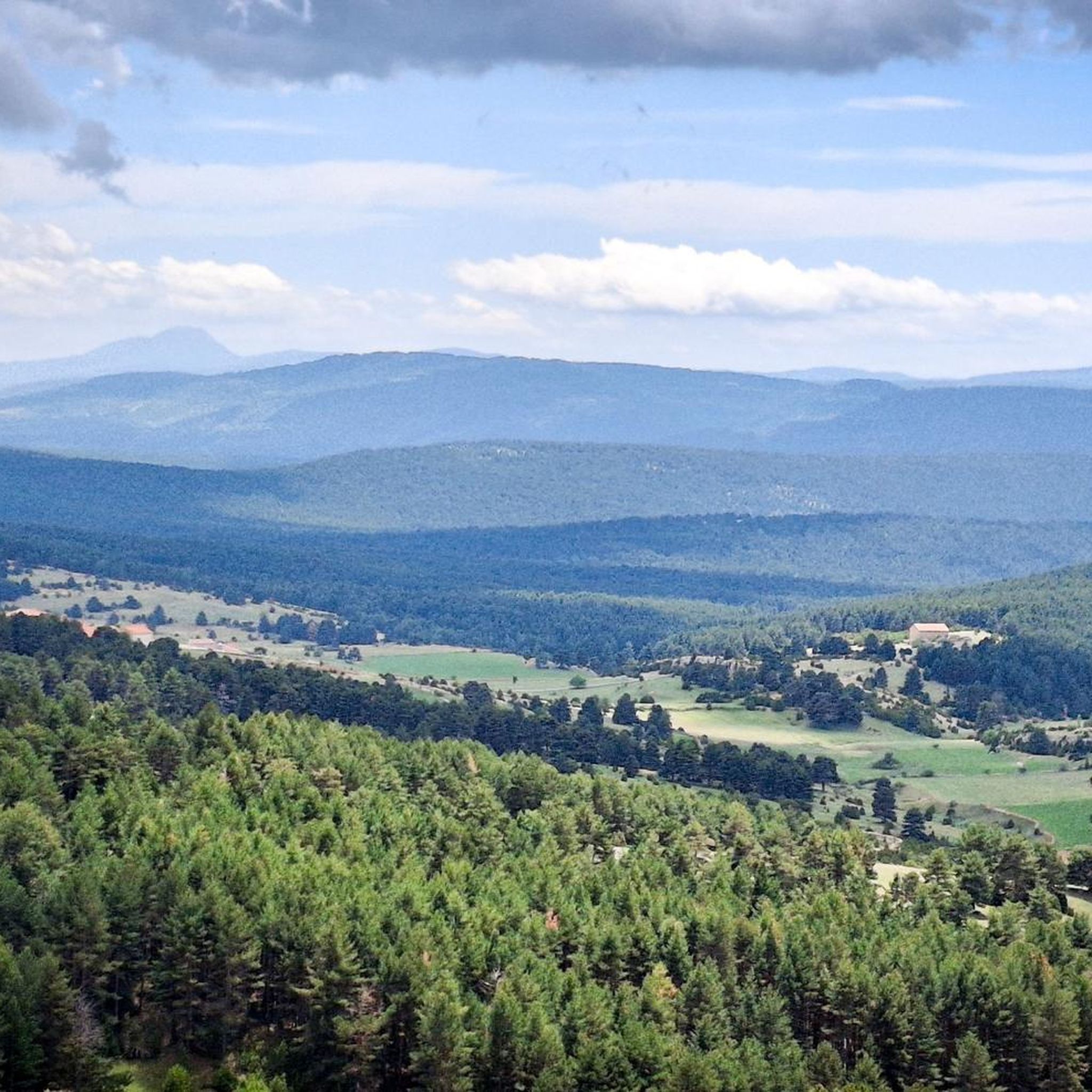

Tips from the Community


In this town of more than 200 inhabitants, the Guadalope River, which rises in the municipal district, the Agua Blanca River and the Barranco del Cañadizo ravine meet in an extremely abrupt and mountainous terrain. The environment is articulated by the constraints of the environment, which gives it that mountainous but at the same time calm atmosphere. If you like unspoiled nature... so beautiful here
1
0

Ski resort with 13 slopes on 3 routes accessed by 9 lifts. It has the typical services (in winter). In summer it is on the way to the summit of Peñarroya.
0
0
Viewpoint at the geodetic point. Stone turret with iron ladder that allows you to climb over the tree line to enjoy the views.
0
0
Aragonese ski and snowboard resort located in the Iberian System, specifically in the unique and extremely beautiful enclave of the Sierra de Gúdar, located in the province of Teruel. It is located at a distance of 70 km from the Provincial Capital. This winter center, despite being small in size, is at 2,000 m. of altitude, so its snow is highly appreciated, especially by Aragonese skiers and the Valencian community who, due to its proximity, are the ones who frequent and know it the most. Being one of the most recent ski and snowboard resorts in Spain, its facilities are modern, and all its slopes are equipped with the most modern artificial snowmaking systems. You can also practice cross-country skiing on a circular route. It offers gentle slopes and descents between forests.
0
0
The geodesic vertex called Peñarroya points 2028.228 m with respect to the base of the observation pillar, but it sits on two bodies of stone masonry. Altitude of the bodies of the order of 10 or 11 meters in total. LIDAR data confirm a ground level elevation of 2017 m. Peñarroya is a chromotoponym that refers to the color of the rocks that make up the mountain. The spelling in the Spanish language is Peñarroya and in the Aragonese language Penyarroya or Peñarroya depending on the spelling chosen for the palatal nasal. The origin of the toponym is quite clear. It combines the common noun peña, from the Latin PĭNNAM, 'battlement', with the adjective RŭBEŭS, -A, -UM 'blond'. The toponym reflects the reddish hue of the terrain. The spelling Penya (in addition to others such as Penna or Peña) is included in many medieval texts in Aragon. For example, in 1448 to designate the summit of the mountain range (of Peña) that rises above Sos del Rey Católico on the border, then, with the kingdom of Navarra.
1
0

The Mirador de Peñarroya is a panoramic viewpoint located in the Matarraña region, in the province of Teruel. The trail is part of the PR-TE 157 circular route, suitable for families. If you are in the area, you can also explore other viewpoints such as El Peñón, which offers impressive panoramic views of Peñarroya and the Alto Valle del Guadiato. Happy hiking! 🚶♀️🌄🌞
8
0
It is located southwest of Collado de la Gitana, accessible via a dirt track and surrounded by forests. If you are interested in exploring the area, you can consider the LA CHAPARRILLA REFUGIO – FUEN ROYA – LAS LAVADERAS WATERFALL Route. This hiking route will take you through impressive landscapes in the Hoya del Colmillo region, Aragon. Enjoy nature and tranquility in this beautiful corner of Spain! 🏞️
8
0
Frequently Asked Questions
How many running routes are available around Fortanete?
There are over 9 dedicated running routes around Fortanete documented on komoot, offering a variety of experiences for trail runners.
What is the typical terrain like for running in Fortanete?
The terrain around Fortanete is diverse, characterized by the robust Sierra de la Cañada and Tarrascón-Las Lastras mountain ranges. You'll find extensive sessile pine forests providing cool, shaded paths, as well as high, cool pastures offering open spaces. The region also features undulating paths within the Rambla del Mal Burgo basin and sections of the long-distance GR-8 trail, which is known for its ravines and mountainous stretches.
What is the best time of year to go jogging in Fortanete?
Fortanete offers excellent running conditions throughout much of the year. Spring is particularly picturesque, with extensive fields of red poppies adorning the GR-8 trail. During warmer months, the well-maintained sessile pine forests provide cool, shaded paths. The high altitude (1353 meters) generally ensures cooler temperatures, making it pleasant for running.
Are there running routes suitable for beginners or those looking for an easier run?
The routes currently listed around Fortanete are predominantly classified as difficult, reflecting the mountainous and varied terrain of the region. For example, the Running loop from Valdelinares is an 8.0-mile difficult trail. While there are no routes specifically marked as 'easy' in the current selection, the area's wealth of paths and trails means there may be shorter, less strenuous options to explore locally.
What do other runners say about the trails in Fortanete?
The running routes in Fortanete are highly rated by the komoot community, with an average score of 3.0 stars. Over 100 runners have used komoot to explore the varied terrain, often praising the tranquility and stunning natural landscapes of the area, particularly the mountain ranges and pine forests.
Are there any notable landmarks or natural sights to see while running near Fortanete?
Yes, the area around Fortanete is rich in natural beauty and points of interest. You might encounter mountain passes like Puerto de Valdelinares or San Cristóbal Pass. Other attractions include the Valdelinares Ski Resort, the Source of the Pitarque River, and the charming Fortanete Village itself. The region's sessile pine forests and high pastures also offer beautiful scenery.
Can I find long-distance running options in the Fortanete area?
Absolutely. The GR-8 trail, a significant long-distance path, crosses the municipality of Fortanete. This trail, originating from Cantavieja and heading towards Valdelinares, offers extensive sections suitable for longer runs, characterized by ravines and mountain ranges. Routes like Valdelinares Ski Resort – Peñarroya Summit Viewpoint loop from Valdelinares, at 15.5 miles (25.0 km), provide a substantial challenge.
Are there any circular running routes available?
Yes, many of the popular running routes around Fortanete are circular, allowing you to start and finish in the same location. Examples include the Villarroya de los Pinares loop from Villarroya de los Pinares and the Alto del Hornillo loop from Valdelinares, which offer varied distances and elevations.
What kind of natural environment can I expect while running in Fortanete?
Fortanete is nestled in a tranquil natural environment, surrounded by the Sierra de la Cañada and Tarrascón-Las Lastras mountain ranges. You'll experience extensive sessile pine forests, providing a cool and serene atmosphere, alongside high, cool pastures offering open vistas. The village is also within the basin of the Rambla del Mal Burgo, suggesting routes that follow natural watercourses. It's an ideal setting for peaceful runs away from urban hustle.
Are there any routes that offer significant elevation gain for a challenging workout?
Yes, Fortanete's mountainous landscape provides excellent opportunities for challenging runs with significant elevation gain. For instance, the Valdelinares Ski Resort – Peñarroya Summit Viewpoint loop from Valdelinares involves nearly 1000 meters of elevation gain over its 15.5-mile distance, making it a demanding option for experienced runners.
Can I combine running with exploring local villages or cultural sites?
While the focus is on natural landscapes, the region does offer cultural attractions. You can incorporate runs that pass near or through charming villages like Cantavieja or the historic Fortanete Village itself. These can serve as interesting points of interest or even starting/ending points for your runs, allowing you to experience both the natural and cultural heritage of the Maestrazgo region.
Most popular attractions around Fortanete

Get inspired with the komoot mobile app


Explore more
Browse the best Running Trails & Routes in other regions.
