The best running trails around Santa Cruz De Grío
219
runners
30
runs
Jogging routes around Santa Cruz De Grío traverse a landscape characterized by the Sierra Vicor mountain range, including Pico del Rayo, its highest peak at 1,427 meters. The region offers varied natural environments, from well-maintained forest trails to more rugged, mountainous terrain. These running routes provide access to scenic natural features and diverse landscapes suitable for outdoor activity.
Best jogging routes around Santa Cruz De Grío
- The most popular jogging route is Collado de la Hermana y Cerro del Espino…
Last updated: July 1, 2026
17
runners
Hard run. Very good fitness required. Mostly paved surfaces. Suitable for all skill levels.
8
runners
Hard run. Very good fitness required. Mostly paved surfaces. Suitable for all skill levels.

Sign up for free
8
runners
15.0km
02:10
600m
600m
Hard run. Very good fitness required. Mostly paved surfaces. Suitable for all skill levels.
7
runners
24.7km
03:56
1,380m
1,380m
Hard run. Very good fitness required. Mostly paved surfaces. Suitable for all skill levels.
7
runners
24.8km
03:56
1,380m
1,380m
Hard run. Very good fitness required. Mostly paved surfaces. Suitable for all skill levels.
Get access to more routes and recommendations from other explorers.
Sign up for free
Already have an account?
Our route recommendations are based on thousands of hikes, rides, and runs completed by other people on komoot.
Start today with a free account
Your next adventure awaits.
Login or Signup
Tips from the Community

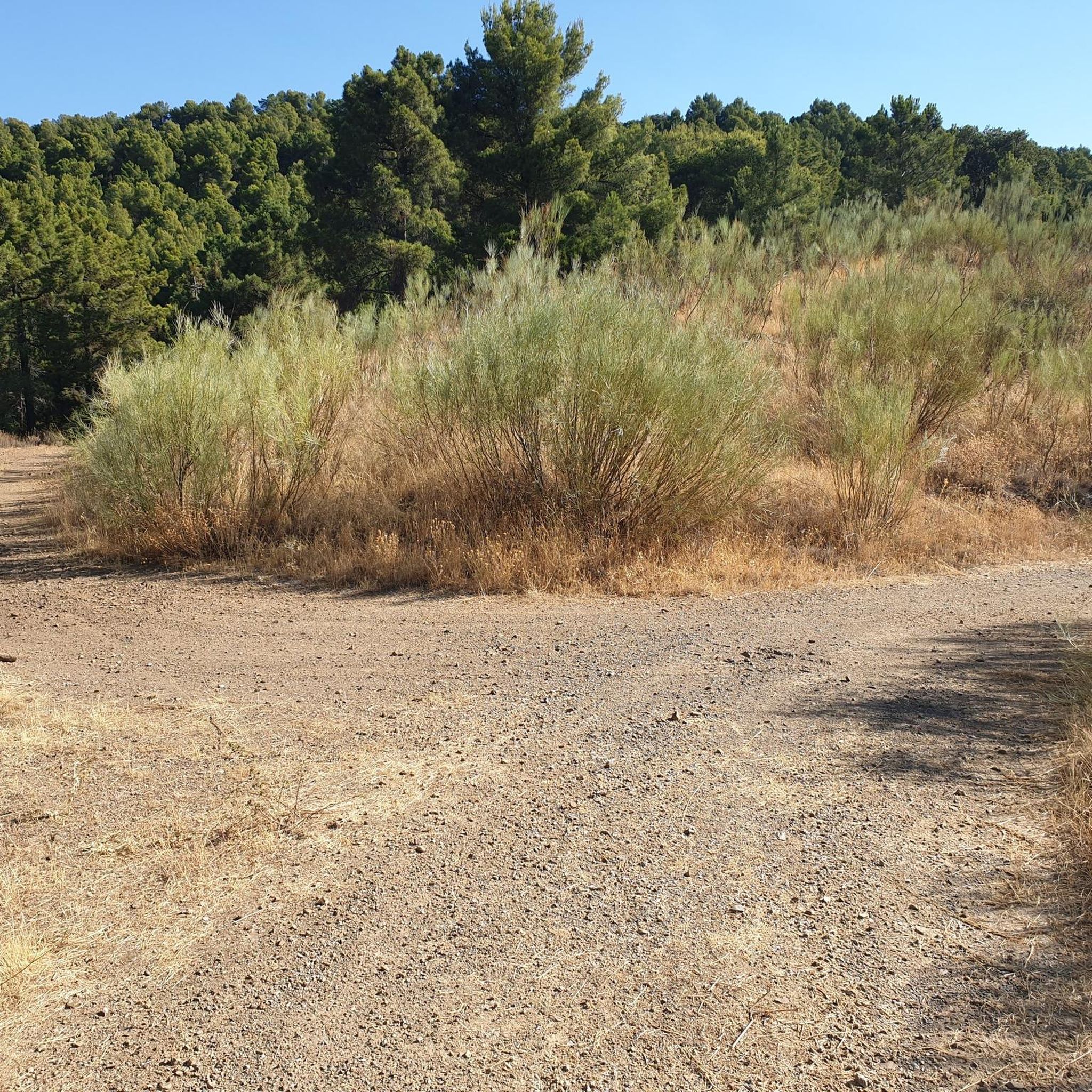
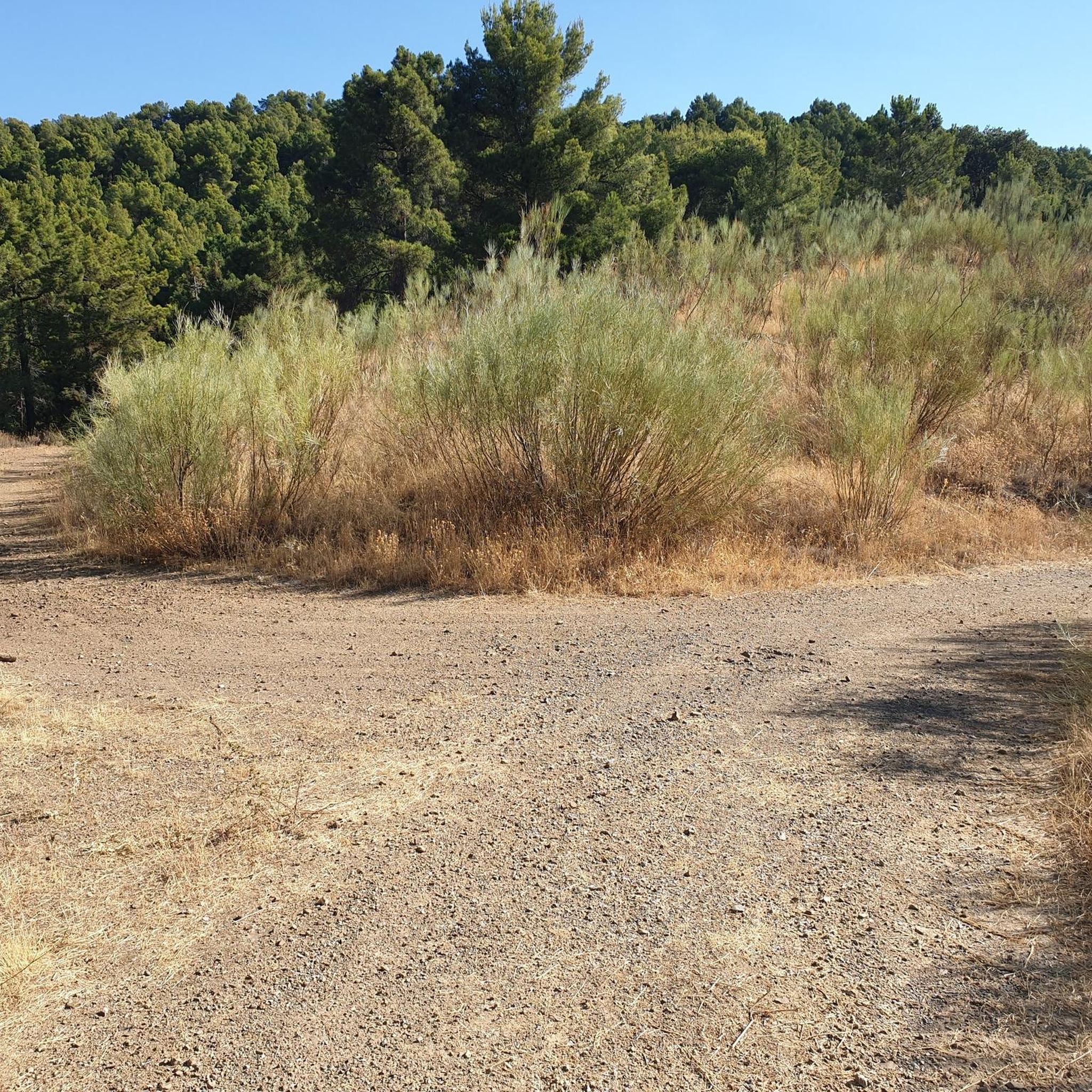
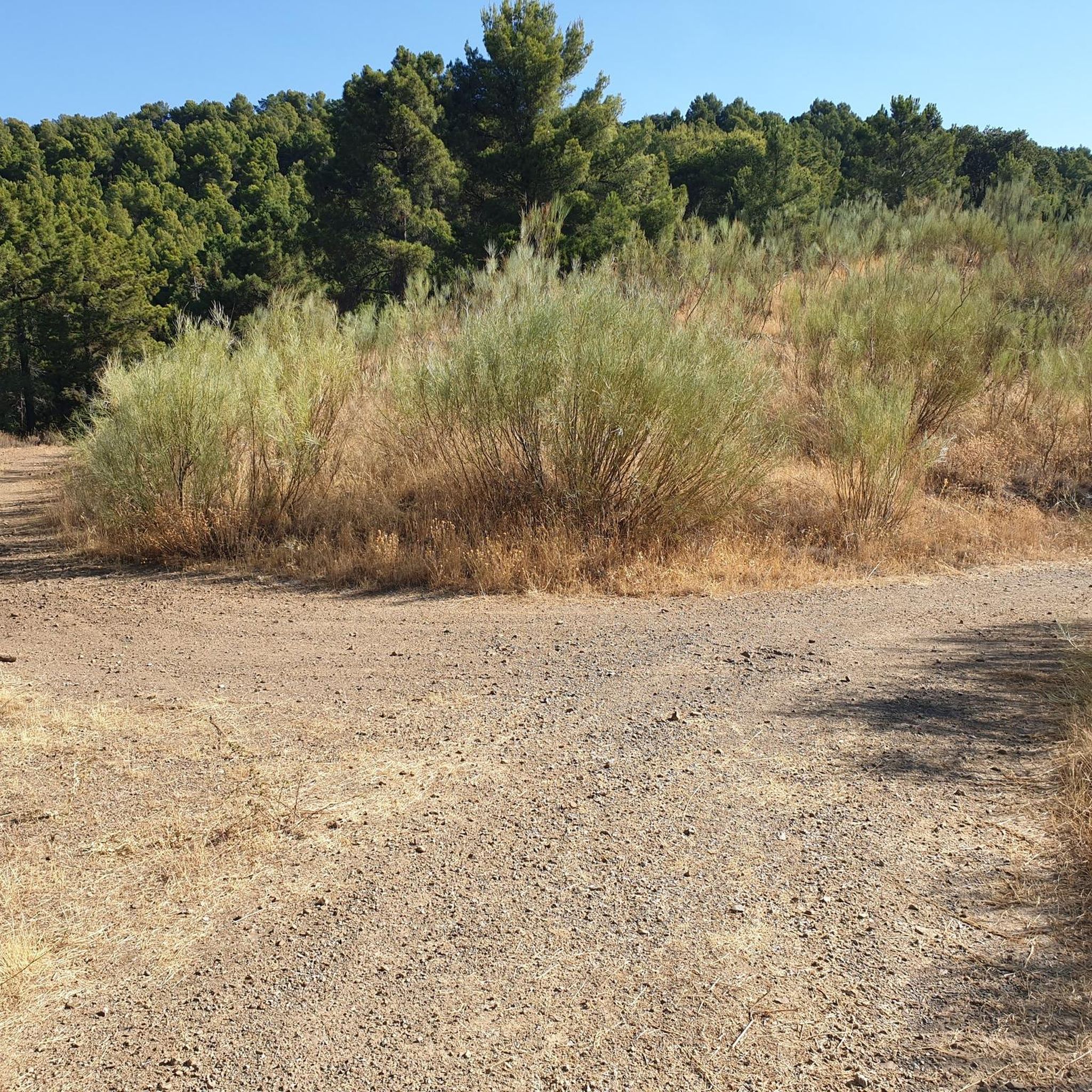
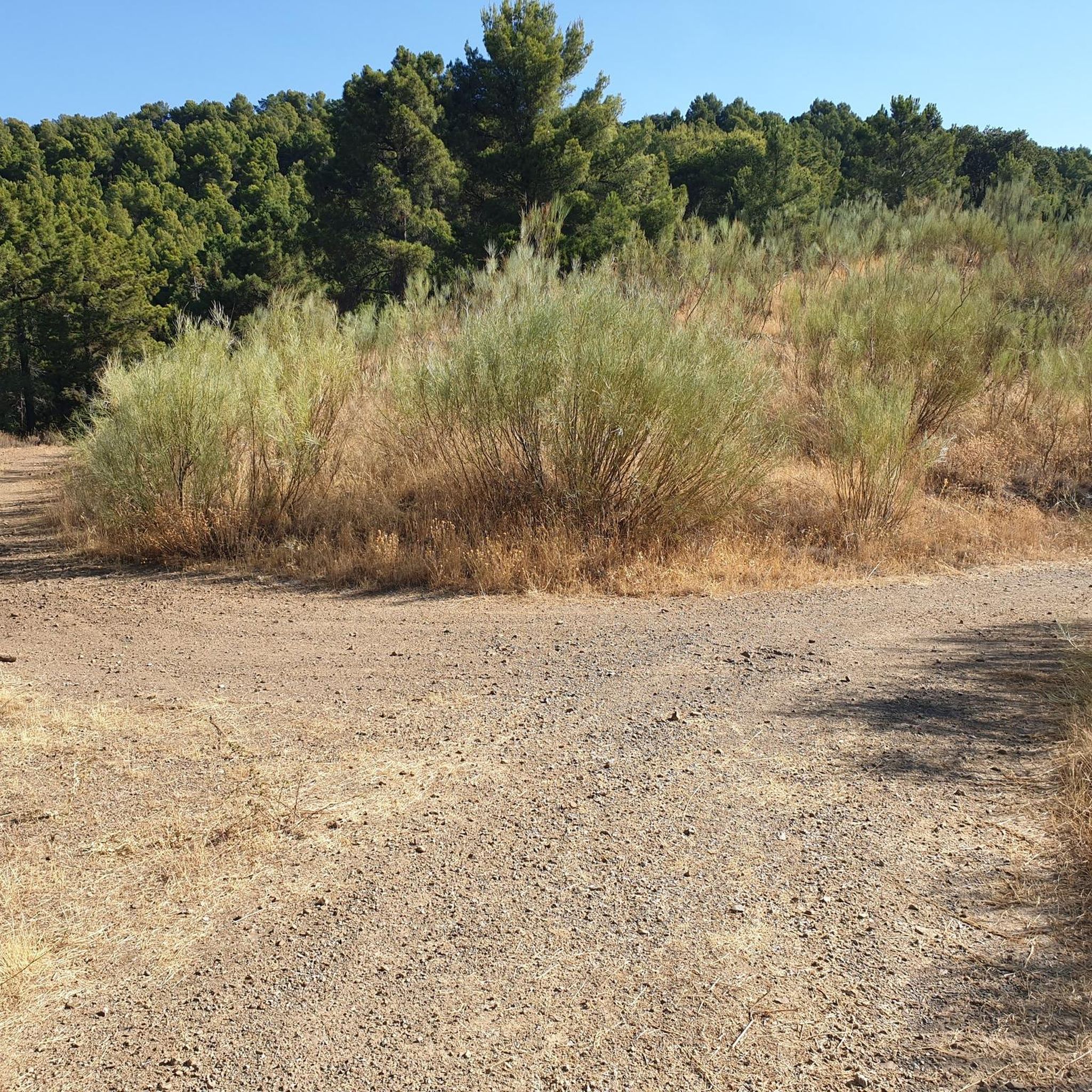
Crossroads between the Valdemadera peak, the Tiermas valley and Cerro del Espino
0
0

Beautiful hill located in the middle of a long trail.
0
0

We find beautiful views from the Tío Franisco pass, a connection point between the Cosuenda area and the Tiernas de Alpartir ravine
1
0
Cerro del Espino is located in the center of the Sierra de Algairén, between Almonacid de la Sierra and Cosuenda, which is 50 kilometers from Zaragoza. At the top of this mountain, we will find a metal cross that is usually adorned with handkerchiefs and the typical cachirulo of the Aragonese lands.
1
0
Located 1038 meters above sea level and on the path of La Lechera, we find this beautiful picture in the Collado de la Hermana with views of the top of Monte del Cortado
1
0
We find ourselves going up the ravine of the hortales, by the path known as the one of the Tía. It will guide us until we reach the North range of the Sierra de Algairén. Nice path with awesome views when you reach the top.
1
0
Cerro del Espino is located in the center of the Sierra de Algairén, between Almonacid de la Sierra and Cosuenda, which is 50 kilometers from Zaragoza. At the top of this mountain, we will find a metal cross that is usually adorned with handkerchiefs and the typical cachirulo of the land.
1
0
Frequently Asked Questions
How many running routes are available in Santa Cruz De Grío?
Santa Cruz De Grío offers a network of nearly 30 running routes. These trails traverse varied natural landscapes, from well-maintained forest paths to more challenging mountainous terrain.
What is the general difficulty level of running trails in Santa Cruz De Grío?
The majority of running trails in Santa Cruz De Grío are considered difficult, with 25 out of 29 routes falling into this category. There are also 4 moderate routes, but no easy routes are specifically listed, indicating a focus on more challenging terrain suitable for experienced runners.
Are there any circular running routes in Santa Cruz De Grío?
Yes, many of the running routes in Santa Cruz De Grío are designed as loops, offering a convenient way to explore the region. For example, the challenging Pico del Rayo loop from Pietas takes you through mountainous terrain, and the Valdemadera – "La Peña Val de Tobarcé" loop from Parque del Raso de la Cruz explores varied natural landscapes.
What kind of natural features or landmarks can I expect to see while jogging?
The running routes in Santa Cruz De Grío offer diverse natural features. You can encounter the prominent Sierra Vicor mountain range, including its highest peak, Pico del Rayo. Other notable spots include the picturesque Capurnos Bridge and various mountain passes like Collado de la Luz and Puerto de Cavero, which often provide panoramic views.
Are there running routes with good viewpoints?
Absolutely. The mountainous terrain of Santa Cruz De Grío, particularly around Sierra Vicor and Pico del Rayo, offers numerous opportunities for panoramic views. Trails leading to higher elevations, such as the Peña La Butrera – Mirador del Sur loop from Alpartir, are likely to provide rewarding vistas of the surrounding landscape.
Are the running trails in Santa Cruz De Grío suitable for families?
Given that most routes are classified as difficult and involve significant elevation changes, many trails might be challenging for younger children or families seeking a leisurely jog. However, the 4 moderate routes could be suitable for active families with some running experience. Always check the specific route details before heading out.
Can I bring my dog on the running trails?
While specific regulations for dogs on trails are not provided, generally, outdoor areas in natural settings like Santa Cruz De Grío are dog-friendly. It's always recommended to keep your dog on a leash, especially in areas with wildlife or other trail users, and to clean up after them. Be mindful that difficult terrain might be strenuous for some pets.
Is parking available near the trailheads?
For many outdoor activity areas in Spain, parking is typically available near popular trailheads or starting points in nearby villages. While specific parking information for each route isn't detailed, it's common to find designated parking areas or roadside spots, especially for routes originating from places like Parque del Raso de la Cruz or Pietas.
How accessible are the running routes by public transport?
Santa Cruz De Grío is a rural, mountainous region. While some villages may have limited bus services, direct public transport access to many trailheads is likely to be infrequent or unavailable. It's generally advisable to use a car to reach the starting points of most running routes in this area for maximum flexibility.
What is the best time of year to go running in Santa Cruz De Grío?
The varied natural landscapes of Santa Cruz De Grío can be enjoyed throughout much of the year. Spring and autumn generally offer the most pleasant temperatures for running, with vibrant scenery. Summer can be hot, especially at midday, so early morning or late afternoon runs are recommended. Winter runs are possible, but higher elevations might experience colder temperatures and occasional snow, requiring appropriate gear.
What do other runners enjoy the most about the trails in Santa Cruz De Grío?
Runners using komoot frequently praise the varied and challenging terrain of Santa Cruz De Grío. The region's mountainous character, including the Sierra Vicor and Pico del Rayo, provides rewarding experiences with significant elevation gains and panoramic views. The network of trails offers a true immersion in nature, making it a compelling location for those seeking a strenuous workout amidst beautiful scenery.
Are there any longer, more challenging running routes for experienced athletes?
Yes, Santa Cruz De Grío is well-suited for experienced runners seeking a challenge. Routes like Collado de la Hermana y Cerro del Espino desde el Raso de la Cruz — Sierra de Algairén, at 10.8 miles (17.3 km) with significant elevation, or the even longer Aunt's Trail loop from Parque del Raso de la Cruz, which spans 24.7 km, offer demanding experiences through rugged, mountainous terrain.
Most popular attractions around Santa Cruz De Grío

Get inspired with the komoot mobile app


Explore more
Browse the best Running Trails & Routes in other regions.
