The best walks and hikes around Los Guajares
4.3
(1261)
5,472
hikers
201
hikes
Hiking around Los Guajares offers diverse natural landscapes within a protected natural park. The region is characterized by a verdant, subtropical valley carved by the Rio Toba, winding between the Sierra de Los Guájares and Sierra de Río Verde mountain ranges. Hikers will encounter lush valleys with ancient terraced farmlands, diverse woodlands, craggy cliffs, and extensive pine woods. This varied terrain provides a range of experiences, from gentle paths among fruit trees to more challenging routes through mountains.
Best hiking…
Last updated: August 28, 2026
4.6
(27)
80
hikers
6.41km
02:03
260m
260m
Moderate hike. Good fitness required. Easily-accessible paths. Suitable for all skill levels.
3.5
(6)
22
hikers
14.7km
04:38
550m
550m
Moderate hike. Good fitness required. Easily-accessible paths. Suitable for all skill levels.

Sign up for free
4.6
(13)
42
hikers
12.1km
04:05
600m
600m
Moderate hike. Good fitness required. Easily-accessible paths. Suitable for all skill levels.
4.6
(7)
17
hikers
Moderate hike. Good fitness required. Easily-accessible paths. Suitable for all skill levels.
4.2
(9)
19
hikers
7.41km
02:29
360m
350m
Moderate hike. Good fitness required. Easily-accessible paths. Suitable for all skill levels.
Get access to more routes and recommendations from other explorers.
Sign up for free
Already have an account?
Our route recommendations are based on thousands of hikes, rides, and runs completed by other people on komoot.
Start today with a free account
Your next adventure awaits.
Login or Signup

Tips from the Community

The Paseo del Nacimiento is a pleasant promenade along a watercourse with flowers and shrubs, a small pond, and a nice little bar with seating in front.
1
0
The Castillo de los Ulloa castle sits atop a rocky outcrop above the town of Vélez de Benaudalla, offering beautiful views of the entire old town and beyond to the valley of the Río Guadalfeo, the surrounding mountains, the reservoir, the slopes of the Alpujarra mountains, and the sometimes snow-covered mountain ranges of the Sierra Nevada.
1
0
A beautiful section of the Water Chamber Trail (Sendero Cámara de Agua), which leads through the forest on the mountainside. At open points, there are some lovely views down into the Guadalfeo River valley with the Rules Reservoir and its dam, and beyond to the slopes of the Alpujarra and the sometimes snow-capped mountain ranges of the Sierra Nevada.
1
0
The winding path offers some beautiful views down into the valley of the river with an interesting old arched bridge, and behind it the dam of the Embalse de Rules reservoir, and finally to the slopes of the Alpujarra and the sometimes snow-covered mountain ranges of the Sierra Nevada.
1
0

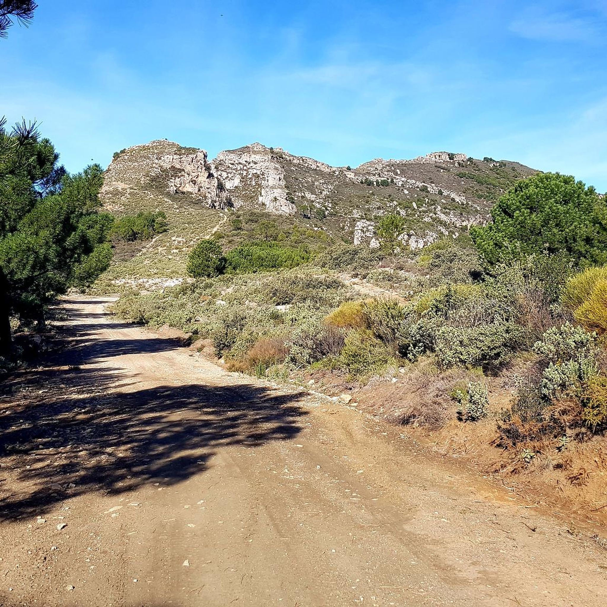
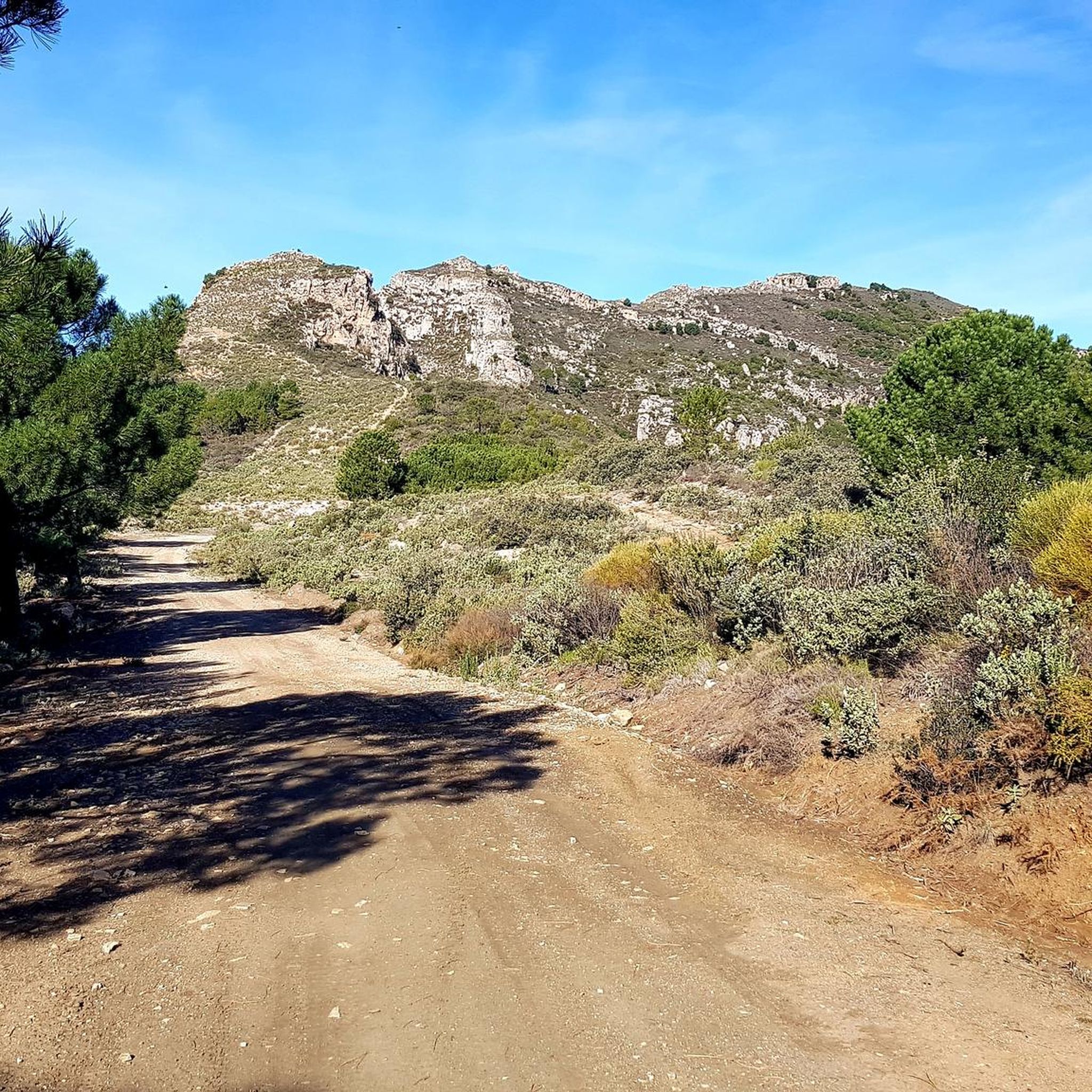
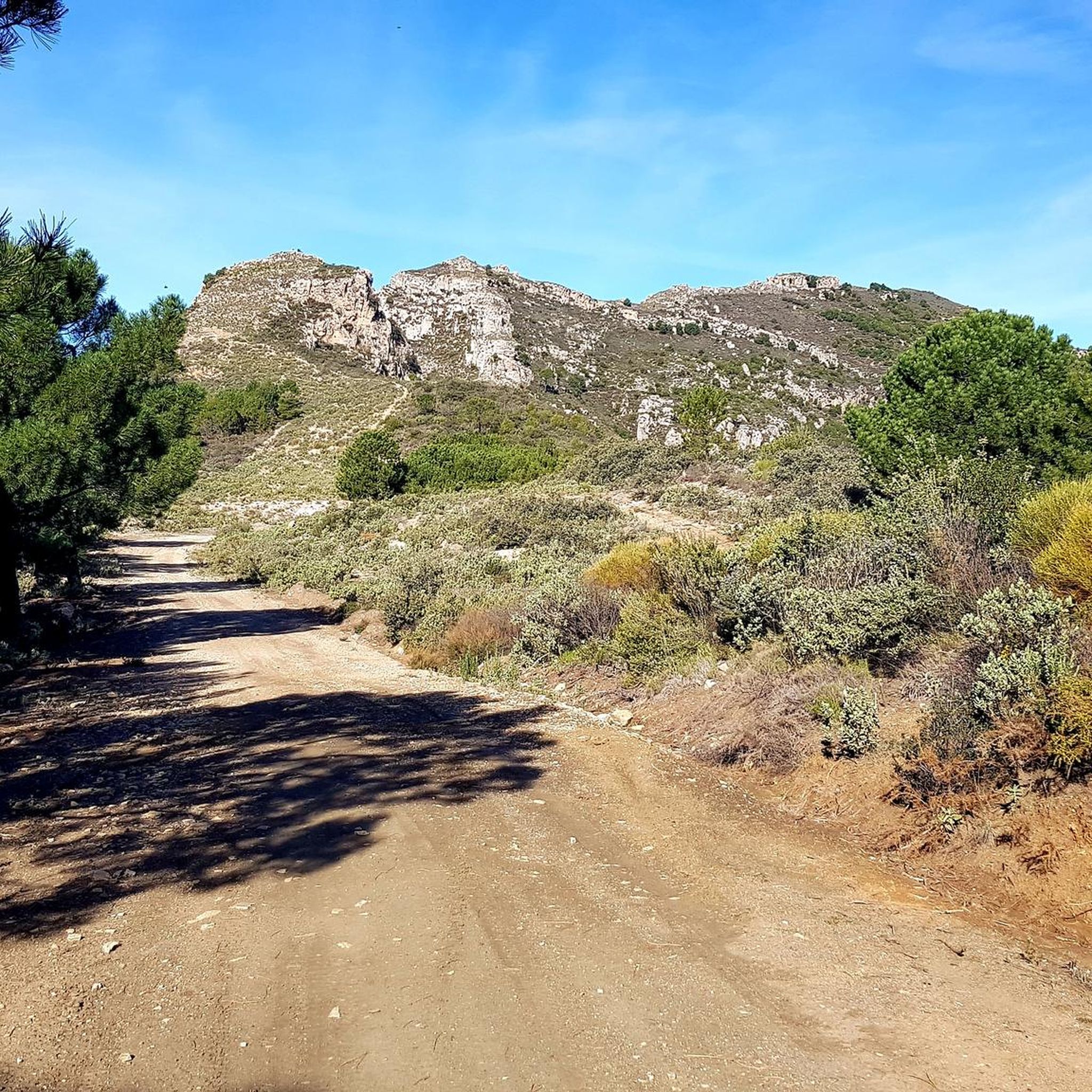
Very nice little trail with stunning views of a green valley on one side, and an arid valley overlooking the sea on the other side.
0
0

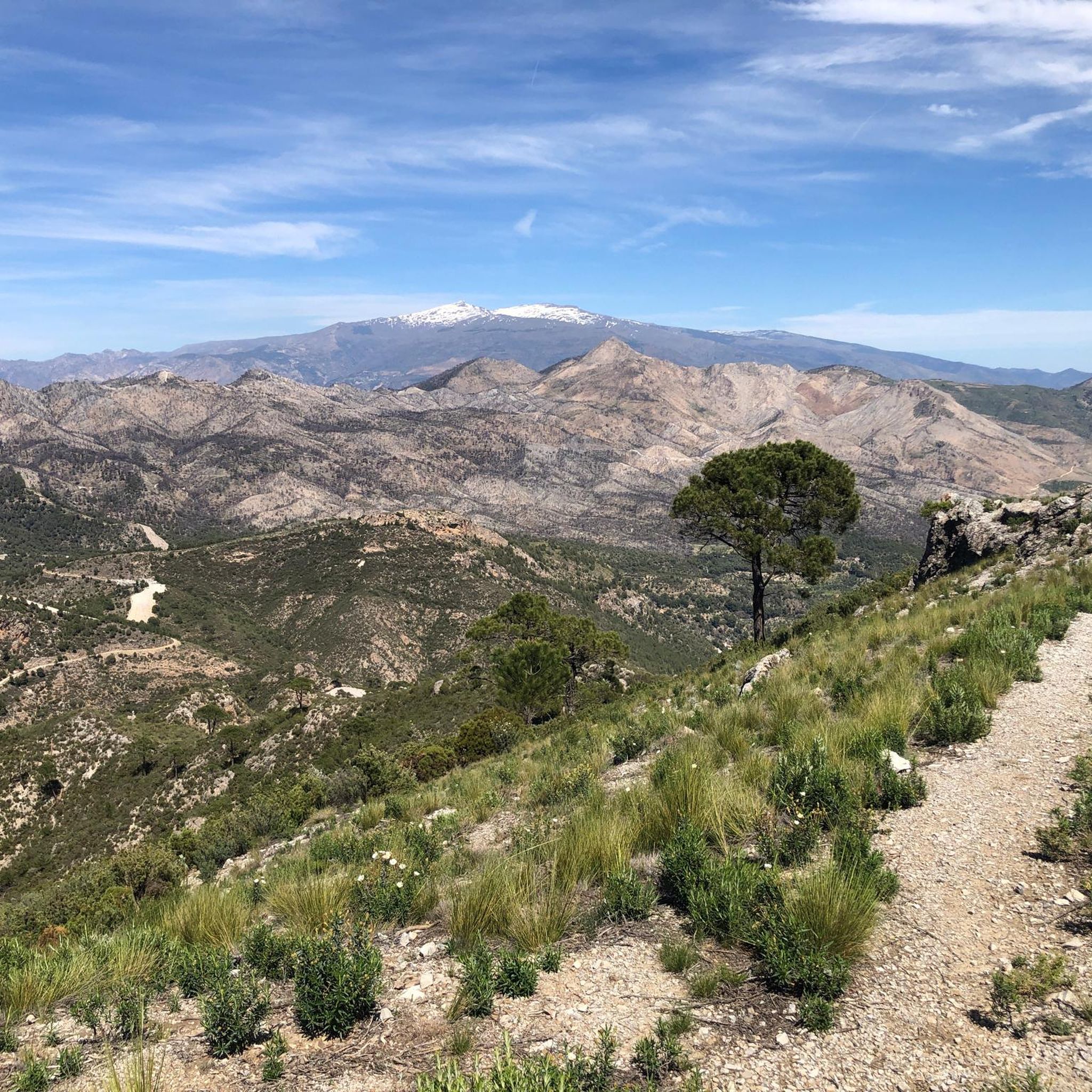
Green hills covered with pine trees, brown hills, mountains, the sea and, far away, mountains covered in snow (including Mulhacén, the highest mountain in mainland Spain).
0
0

El Castillejo is a fortified town located at the top of a rock
1
1

This is an old fortress located in the term called guajares, we have three towns Guajar Fondón, Guajar Faraguit and Guajar Alto. In which there are thousands of routes to discover and do MTB or hiking. Guajar Faraguit where we left the vehicle and went down to the river of los guajares once in the same river we crossed it by a picturesque bridge and right there we began the ascent to the old fortress about 3 or 4 km round trip from the same town In short, a good route I recommend it.
1
0
Frequently Asked Questions
How many hiking trails are available in Los Guajares?
Los Guajares offers a wide selection of hiking trails, with over 180 routes available for exploration. These trails cater to various fitness levels, ranging from easy walks to more challenging ascents through the region's diverse landscapes.
Are there easy or beginner-friendly hikes in Los Guajares?
Yes, Los Guajares provides numerous options for easy and beginner-friendly hikes. There are over 70 routes classified as easy, allowing you to enjoy the lush valleys and terraced farmlands without significant difficulty. These paths often wind through orange and lemon groves, offering a gentle introduction to the area's natural beauty.
What kind of terrain can I expect on hikes in Los Guajares?
The terrain in Los Guajares is remarkably varied. You can expect to hike through verdant, subtropical valleys carved by the Rio Toba, ancient terraced farmlands, and diverse woodlands including pine forests. Some routes ascend craggy cliffs, offering panoramic views, while others follow the riverbeds. The region is nestled between the Sierra de Los Guájares and Sierra de Río Verde mountain ranges, providing a mix of gentle paths and more challenging ascents.
Are there any circular hiking routes in the area?
Yes, Los Guajares features many excellent circular hiking routes. For example, the Hiking loop from Vélez de Benaudalla is a moderate 10.6 km path with varied terrain and expansive vistas. Another popular option is the Hiking loop from Lentegí, which offers a moderate 7.4 km journey.
Can I bring my dog on the hiking trails in Los Guajares?
Many trails in Los Guajares are suitable for hiking with dogs, allowing you to explore the natural beauty with your canine companion. However, it's always advisable to check specific trail regulations or local signage, especially in protected areas, and ensure your dog is kept on a leash to protect local wildlife and agricultural areas.
Are there family-friendly hiking options in Los Guajares?
Los Guajares offers several family-friendly hiking options, particularly the easier routes that traverse the valleys and terraced farmlands. These paths are generally less strenuous and allow families to enjoy the unique subtropical vegetation and charming villages. Always consider the distance and elevation gain to choose a route appropriate for all family members.
What historical sites or landmarks can I see while hiking?
While hiking in Los Guajares, you can explore fascinating historical sites. A notable example is the archaeological settlement of El Castillejo, a fortified town from the 13th-century Almohad period. The El Castillejo Fortress – El Castillejo Ruins loop from Guájar Fondón is a great way to experience this. The charming white villages themselves, with their historic churches, also offer a glimpse into traditional Andalusian life.
Are there any waterfalls or gorges to explore?
Yes, the region around Los Guajares features impressive natural formations including gorges and waterfalls. You can discover highlights such as the Barranco de la Luna Gorge and the beautiful Three Waterfalls. The Rio Toba, which flows year-round, also creates dynamic environments with small white riverbeds and ravines like El Salado Ravine.
What is the best time of year to go hiking in Los Guajares?
Los Guajares enjoys a Mediterranean climate, making it suitable for hiking year-round. The mild winters and warm summers provide comfortable conditions. The inland location offers fresher air compared to coastal towns, which can be particularly pleasant during warmer months. Spring and autumn are ideal for their moderate temperatures and vibrant natural colors.
Is public transport available to reach the trailheads, or is parking common?
While specific public transport options to individual trailheads might be limited, the three main villages of Guájar Alto, Guájar Faragüit, and Guájar Fondón serve as excellent starting points and typically offer parking facilities. It's generally recommended to use a car to access the more remote trailheads and explore the region's diverse hiking opportunities.
What kind of wildlife might I encounter on the trails?
The diverse natural environment of Los Guajares is home to a variety of wildlife. Hikers might spot wild boar, mountain goats, and foxes. Birdwatchers can also look out for various species, including eagles, soaring above the craggy cliffs and valleys.
What do other hikers say about the trails in Los Guajares?
The hiking routes in Los Guajares are highly regarded by the komoot community, with an average score of 4.4 stars from over 1000 reviews. Hikers often praise the stunning and varied scenery, the unique subtropical vegetation, and the well-maintained paths that lead through both historical sites and natural wonders.
Most popular routes around Los Guajares
Most popular attractions around Los Guajares

Get inspired with the komoot mobile app


Explore more
Browse the best Hikes in other regions.
