The best walks and hikes around La Taha
4.6
(346)
1,815
hikers
41
hikes
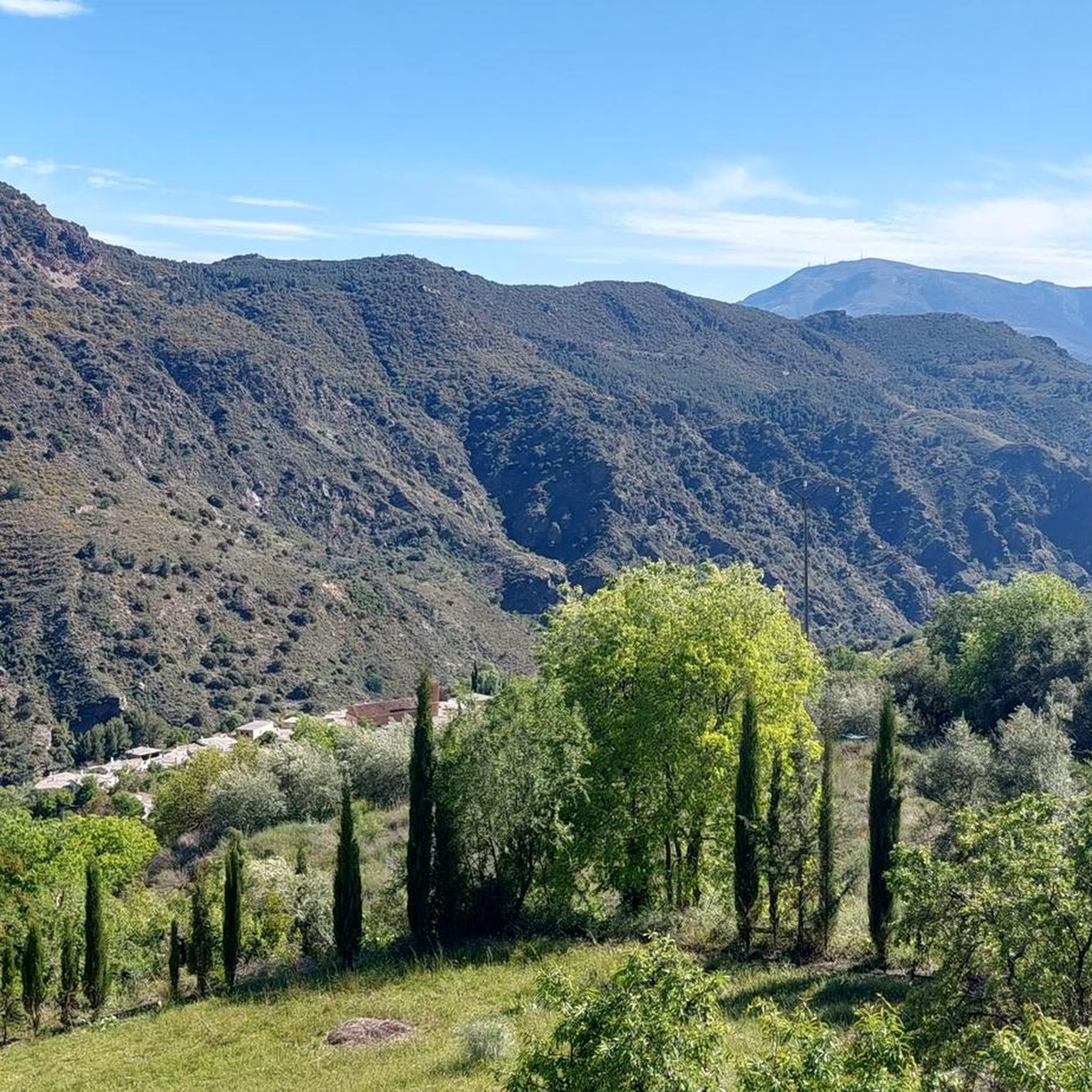
Hiking around La Taha, located in the Alpujarras region of Granada, Spain, offers diverse landscapes on the south-facing slopes overlooking the Río Trevélez. The area is characterized by its position within the Sierra Nevada Mountains, providing access to high-mountain trails and views of the Poqueira ravine. Hikers can explore ancient whitewashed villages, lush valleys, and varied topography.
Best hiking trails around La Taha
- The most popular hiking route is La Tahá Circular Trail, a 3.1 miles (5.0 km) trail…
Last updated: May 10, 2026
4.5
(8)
35
hikers
5.01km
01:40
240m
240m
Hike the moderate La Tahá Circular Trail, a 3.1-mile route through ancient whitewashed villages and scenic landscapes in the Sierra Nevada N
3.8
(10)
21
hikers
8.91km
03:18
570m
570m
Hike the moderate Pitres - Acequia Gorda - Pórtugos Trail, covering 5.5 miles (8.9 km) with 1878 feet of gain, past acequias and waterfalls.

Sign up for free
4.7
(30)
94
hikers
9.65km
03:08
430m
420m
Moderate hike. Good fitness required. Mostly accessible paths. Sure-footedness required.
4.8
(18)
70
hikers
9.31km
03:13
500m
500m
Moderate hike. Good fitness required. Easily-accessible paths. Suitable for all skill levels.
4.8
(16)
55
hikers
Hard hike. Very good fitness required. Mostly accessible paths. Sure-footedness required.
Get access to more routes and recommendations from other explorers.
Sign up for free
Already have an account?
Our route recommendations are based on thousands of hikes, rides, and runs completed by other people on komoot.
Start today with a free account
Your next adventure awaits.
Login or Signup
Popular around La Taha
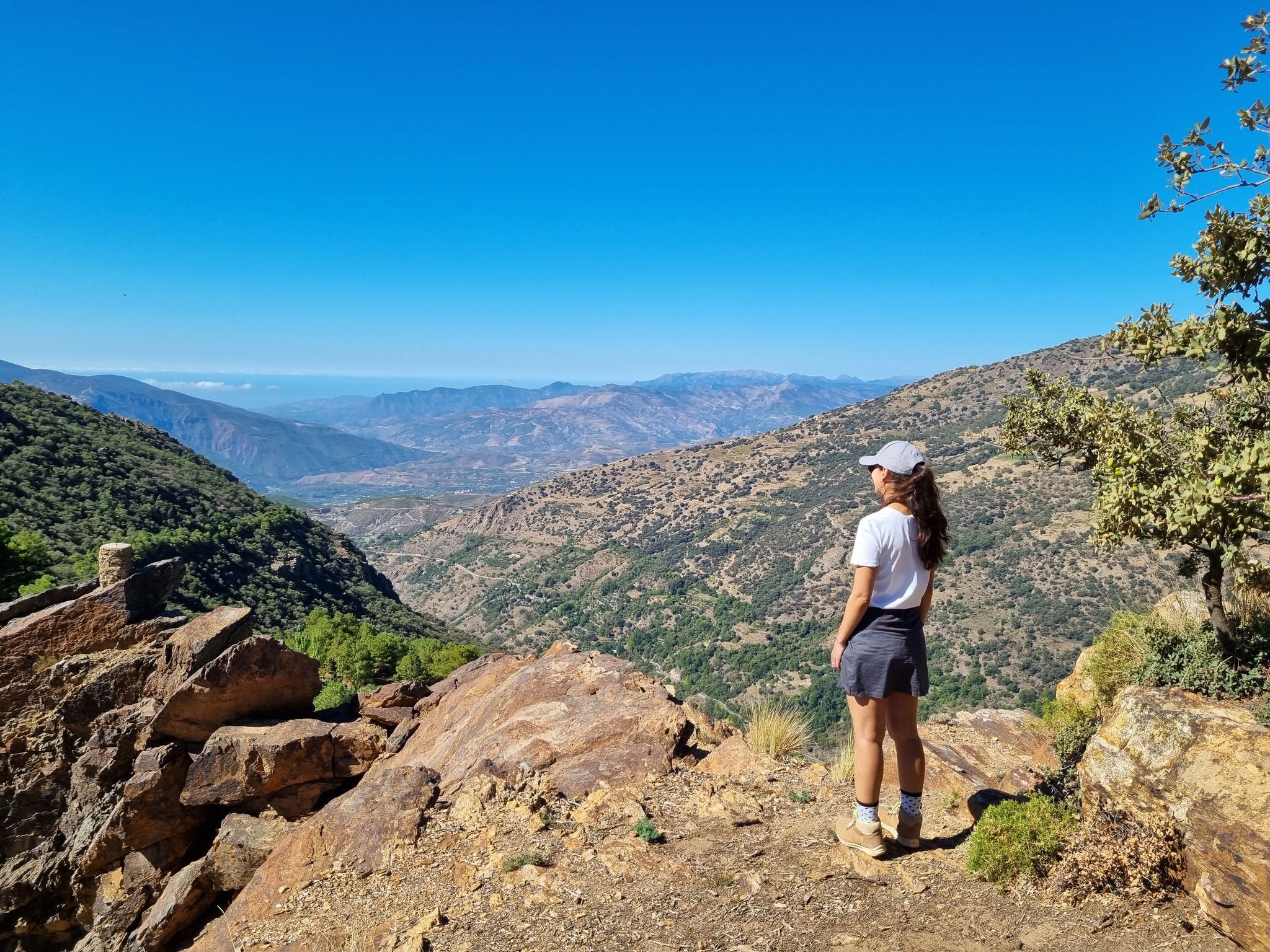
Lanjarón to Trevélez – five days in the Alpujarra of Granada

Andalusia without limits – Tarifa to La Puebla de Don Fabrique on the GR 7
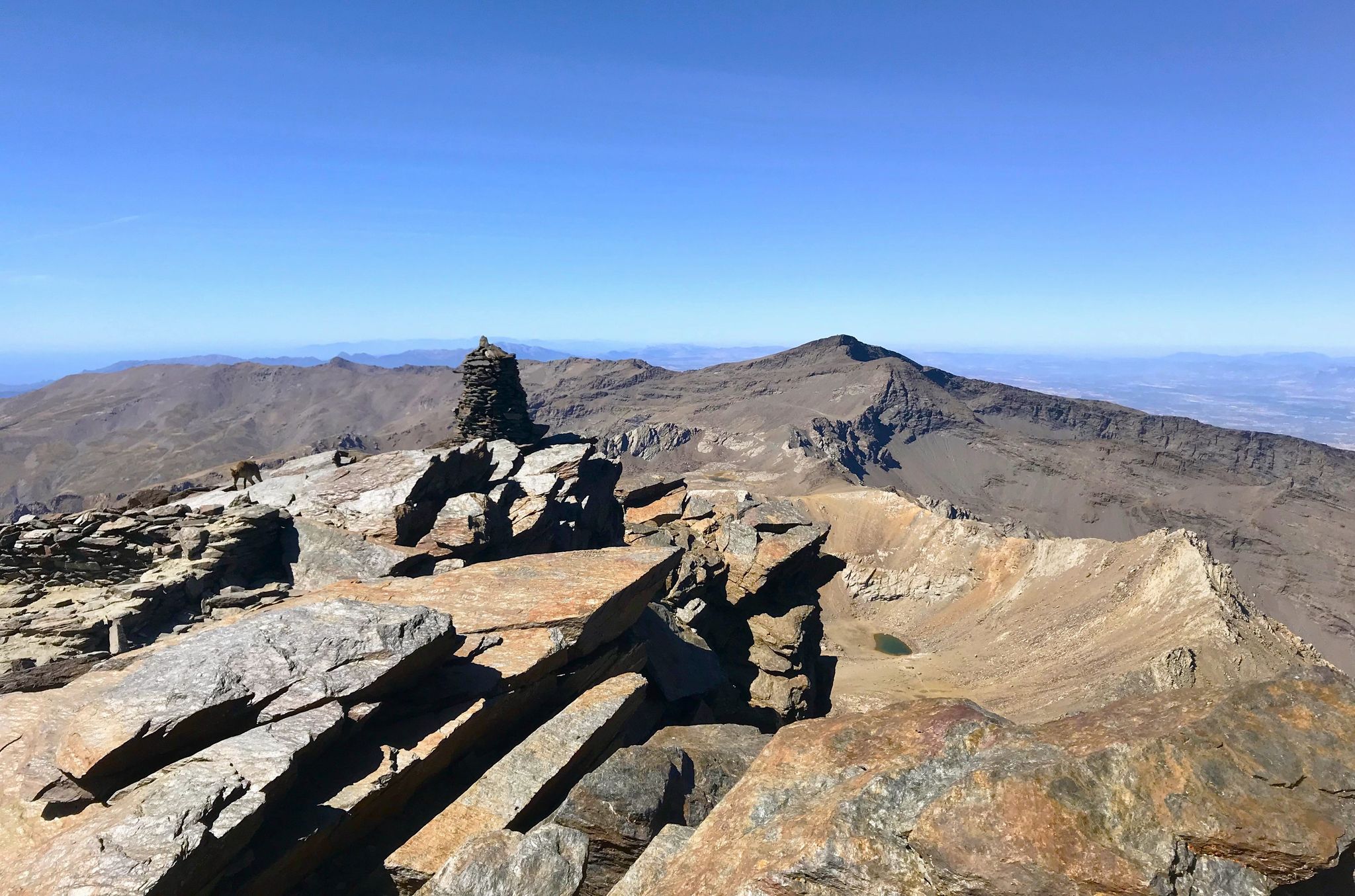
A night under the roof of the Iberian Peninsula – Mulhacén ascent
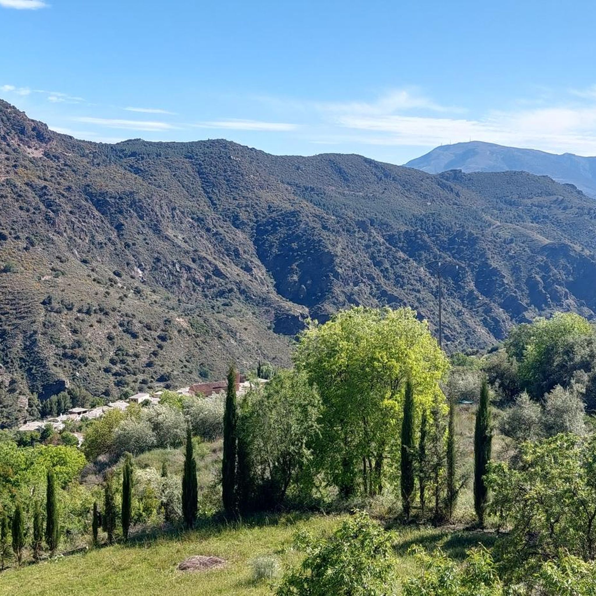
Running Trails around La Taha
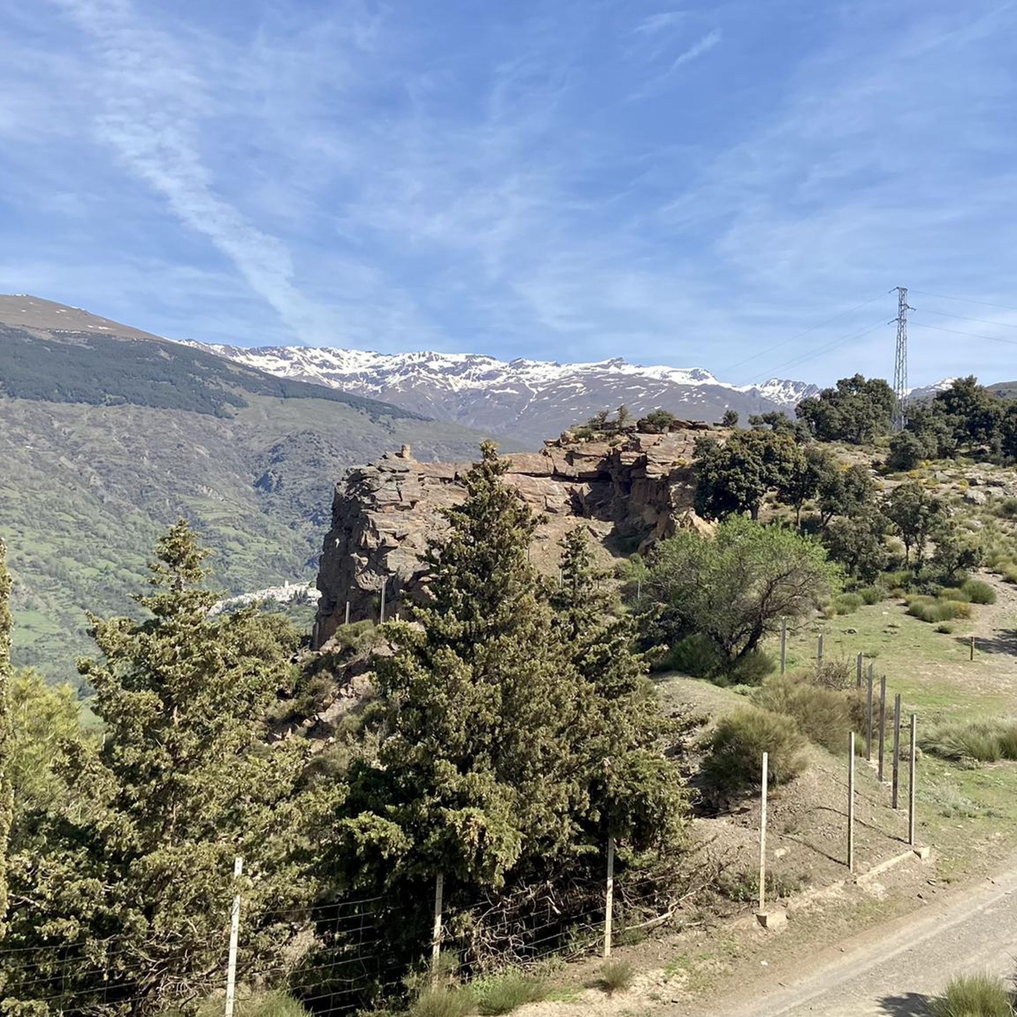
MTB Trails around La Taha
Road Cycling Routes around La Taha
Cycling around La Taha

Mountain Hikes around La Taha
Other adventures around La Taha


Tips from the Community

The small mountain village has a small, nice village square with a fountain and seating under the large tree.
0
1

The Trevélez River Gorge is one of the most spectacular stretches of the Alpujarra Granadina. The trail overlooks a deep cut in the mountain, with steep walls and impressively vertical views. It's an ideal place to stop and contemplate the contrast between the narrow valley and the peaks of the Sierra Nevada beyond. It's advisable to wear firm footwear, as the paths along the gorge are often narrow and rocky.
1
0

1 of the 3 most authentic villages in Andalusia, you can visit these 3 villages on foot via marked hiking trails, be careful, some parts of the walk are not recommended for people with a fear of heights because you sometimes walk on very narrow roads along deep abysses. Pampaneira, Bublion and Capilaira together form a beautiful walk, you can also visit Pampaneira and Bublion on foot, this route is less difficult but here too applies: walking along steep abysses.
0
0

Beautiful view into the gorge and you can clearly see the villages of Capileira and Bubion.
0
0

If you like views, and don't mind narrow trails, this is the area for valley and mountain views. Our favorites so far.
1
2

Ferreirola, located in the Alpujarra Granadina, is a charming Spanish town that is part of the municipality of La Taha. The origins of Ferreirola date back to Roman times, and its importance during the Arab occupation is supported by numerous archaeological remains. The name “Ferreirola” means “small iron mine” and is a diminutive of “Ferreira”. Historically, Ferreirola was the head of the municipality, with an annex called Atalbéitar located about 500 meters away.
3
1
The Tajo de Cortés Waterfall is an impressive waterfall located in the Alpujarra Granadina, near the towns of Pitres and Pórtugos in Andalusia. Two routes that will take you to this beautiful waterfall: Sendero PR-A 29 from Pórtugos or the somewhat shorter Circular Route from Pitres.
1
1

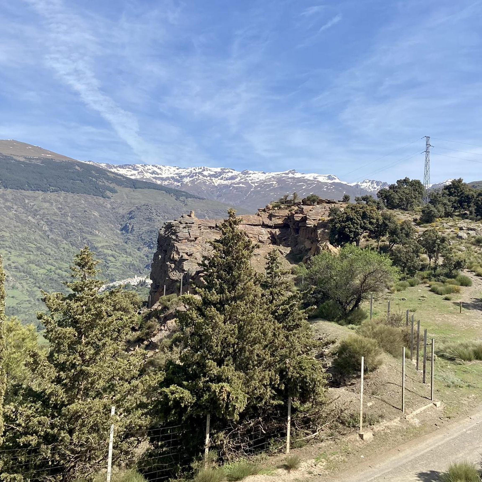
This viewpoint is amazing! Located on the ridge between the ravine towns of Poqueira and Pitres, it gives you spectacular and very varied views.
1
0
Frequently Asked Questions
How many hiking trails are available in La Taha?
There are over 40 hiking trails in La Taha, offering a variety of experiences from easy strolls to more challenging mountain paths. Specifically, you'll find 12 easy routes, 25 moderate routes, and 7 difficult routes to explore.
What do other hikers say about the trails in La Taha?
The trails in La Taha are highly rated by the komoot community, with an average score of 4.6 stars from over 300 reviews. Hikers often praise the diverse landscapes, the charm of the ancient villages, and the stunning views of the Sierra Nevada mountains and the Poqueira ravine.
Are there any circular hiking routes in La Taha?
Yes, La Taha offers several excellent circular routes that connect the picturesque villages. A popular choice is the La Tahá Circular Trail, which allows you to experience the local culture and landscapes. Another option is the Path from Pitres to Mecina – Ferreirola loop from La Taha, leading through traditional Alpujarran villages.
Can I find trails with waterfalls in La Taha?
Yes, the region features natural attractions like waterfalls. The Tajo de Cortés Waterfall, located near Pitres and Pórtugos, is an impressive natural feature accessible via hiking routes. You can also find the Lanjarón River Waterfall in the broader area.
Are there family-friendly hiking options in La Taha?
La Taha offers a range of trails, including easier options suitable for families. While specific 'family-friendly' designations vary, the numerous village-connecting paths and shorter circular routes provide gentler terrain and cultural interest for all ages. Look for routes categorized as 'easy' in the komoot guide.
What kind of landscapes and natural features can I expect to see while hiking?
Hiking in La Taha offers diverse landscapes. You'll traverse the south-facing slopes of the Sierra Nevada Mountains, providing access to high-mountain trails and magnificent views. The trails also wind through the scenic Río Trevélez valley, lush valleys, and canyons, often with views of the Poqueira ravine and its famous white villages.
Are there any notable viewpoints or landmarks along the trails?
Absolutely. La Taha is rich in stunning vistas and historic sites. Key viewpoints include Tajos del Ángel Viewpoint, which offers spectacular views of the Poqueira ravine and villages like Bubión and Capileira. The Tajos del Ángel Viewpoint – View of Bubión and Capileira loop from La Taha is a challenging route that takes you to this spot. You can also find the Pico Veleta viewpoint in the wider region.
Which villages can I explore on foot in La Taha?
La Taha is comprised of several picturesque ancient villages that are perfect for exploring on foot. These include Pitres (the administrative center), Mecina Fondales (Mecina, Mecinilla, and Fondales), and Ferreirola, with its smaller settlement of Atalbéitar. Many trails, like the Pitres - Acequia Gorda - Pórtugos Trail, connect these charming locations.
Where can I park when hiking in La Taha?
Parking is generally available in the villages of La Taha, such as Pitres, Mecina Fondales, and Ferreirola. These villages often serve as starting points for many hiking routes. It's advisable to look for designated parking areas upon arrival, especially during peak seasons.
What is the best time of year to go hiking in La Taha?
The best time for hiking in La Taha is typically during spring (April to June) and autumn (September to November). During these seasons, the weather is mild and pleasant, and the landscapes are particularly vibrant. Summer can be very hot, especially at lower elevations, while winter can bring snow to higher mountain trails.
Are there places to eat or stay near the hiking trails?
Yes, the villages within La Taha, such as Pitres, Mecina Fondales, and Ferreirola, offer various options for accommodation, including guesthouses and rural hotels. You'll also find local restaurants and cafes where you can enjoy traditional Alpujarran cuisine and refreshments after your hike.
Are dogs allowed on the hiking trails in La Taha?
Generally, dogs are welcome on many hiking trails in La Taha, especially on public paths. However, it's always recommended to keep your dog on a leash, especially in areas with livestock or protected wildlife. Be mindful of local regulations and ensure your dog is well-behaved and doesn't disturb other hikers or the environment.
Most popular attractions around La Taha

Get inspired with the komoot mobile app


Explore more
Browse the best Hikes in other regions.
