The best road cycling routes around El Pinar
4.9
(178)
5,045
riders
58
rides
Road cycling routes around El Pinar are characterized by mountainous terrain and significant elevation changes, offering varied challenges for cyclists. The region features a network of mostly paved roads that wind through the landscape, providing diverse road cycling routes. Cyclists can expect demanding climbs and descents, with some routes extending over long distances and considerable vertical gain. The El Pinar road bike trails are set within a landscape that combines natural features with historical elements.
Best road cycling routes around…
Last updated: October 27, 2026
5.0
(4)
377
riders
65.1km
03:39
1,480m
1,480m
The Lanjarón Loop is one of those road cycling routes that will leave you breathless, not just from the effort, but from the views. You'll traverse river valleys with lush…
4.7
(10)
753
riders
116km
06:22
2,460m
2,460m
Hard road ride. Very good fitness required. Mostly well-paved surfaces and easy to ride.

425
riders
116km
06:29
2,540m
2,540m
Hard road ride. Very good fitness required. Mostly well-paved surfaces and easy to ride.
4.0
(1)
286
riders
101km
05:28
2,010m
2,010m
Hard road ride. Very good fitness required. Mostly well-paved surfaces and easy to ride.
155
riders
111km
06:41
2,890m
2,890m
Hard road ride. Very good fitness required. Mostly well-paved surfaces and easy to ride.
Get access to more routes and recommendations from other explorers.
Already have an account?
Our route recommendations are based on thousands of hikes, rides, and runs completed by other people on komoot.
Start today with a free account
Your next adventure awaits.

Tips from the Community

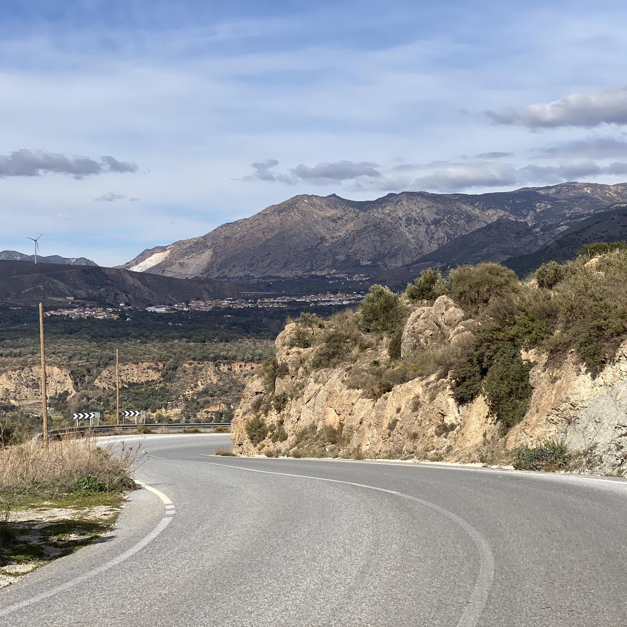
Carretera de la Cabra, one of the most spectacular routes for road cycling and motorcycling in the province of Granada. This mountain road connects the Almuñécar and Costa Tropical area with the surroundings of the Sierras de Tejeda, Almijara y Alhama Natural Park, crossing landscapes of great beauty.
1
0
Mountain road descending from the Lentegí area and the Granada coastal mountain range towards the Costa Tropical, in an environment of deep ravines, steep slopes, and magnificent panoramic views over the Mediterranean. The area is highly appreciated by road cyclists due to its long descents and low traffic density.
1
0
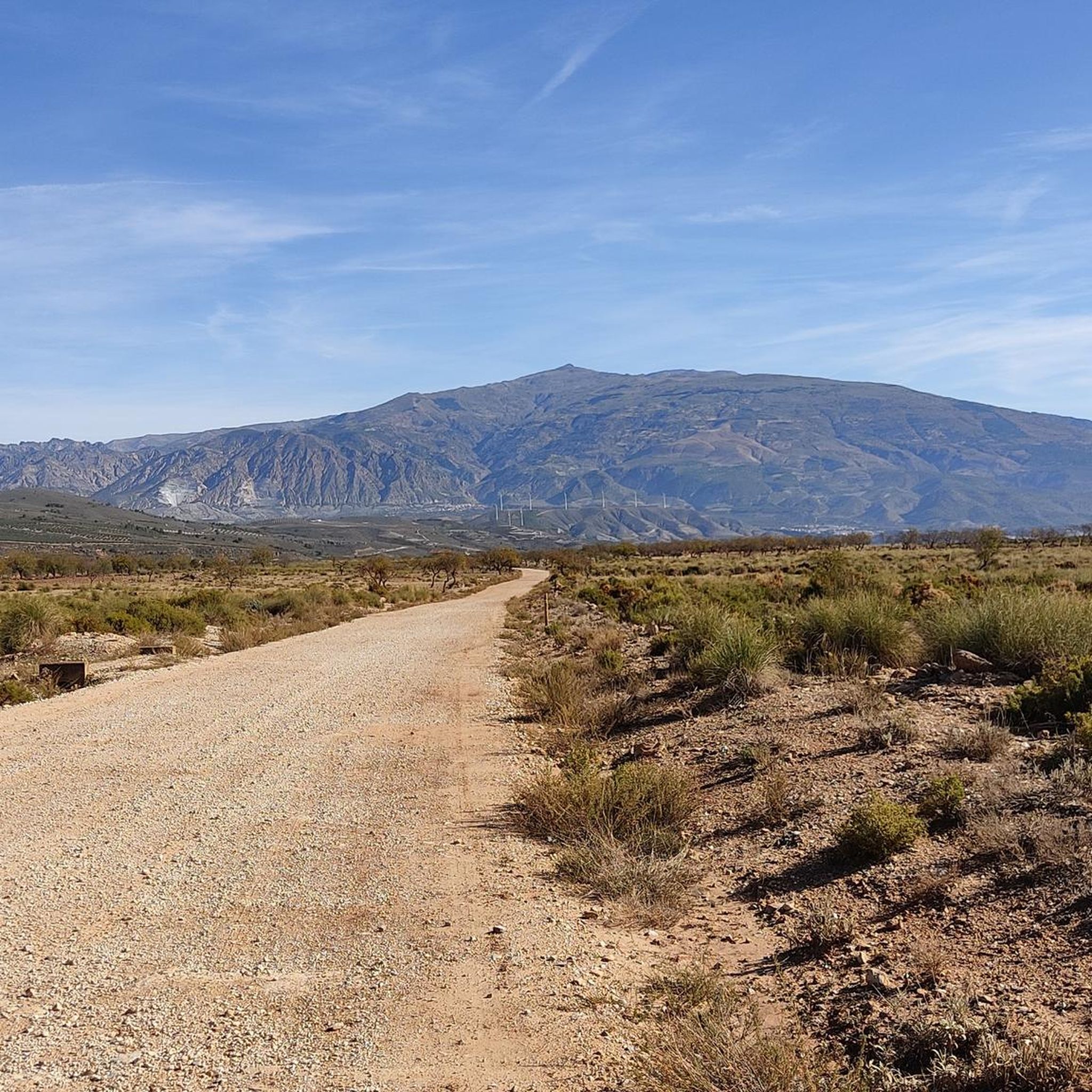
The road that connects Carataunas with Pampaneira, in the Alpujarra Granadina, crosses one of the most representative landscapes of the southern slopes of Sierra Nevada. From numerous points along the route, you can enjoy panoramic views of deep ravines, traditional farming terraces, and white villages staggered on the mountain. Take the opportunity to visit Pampaneira, it is worth it.
9
0
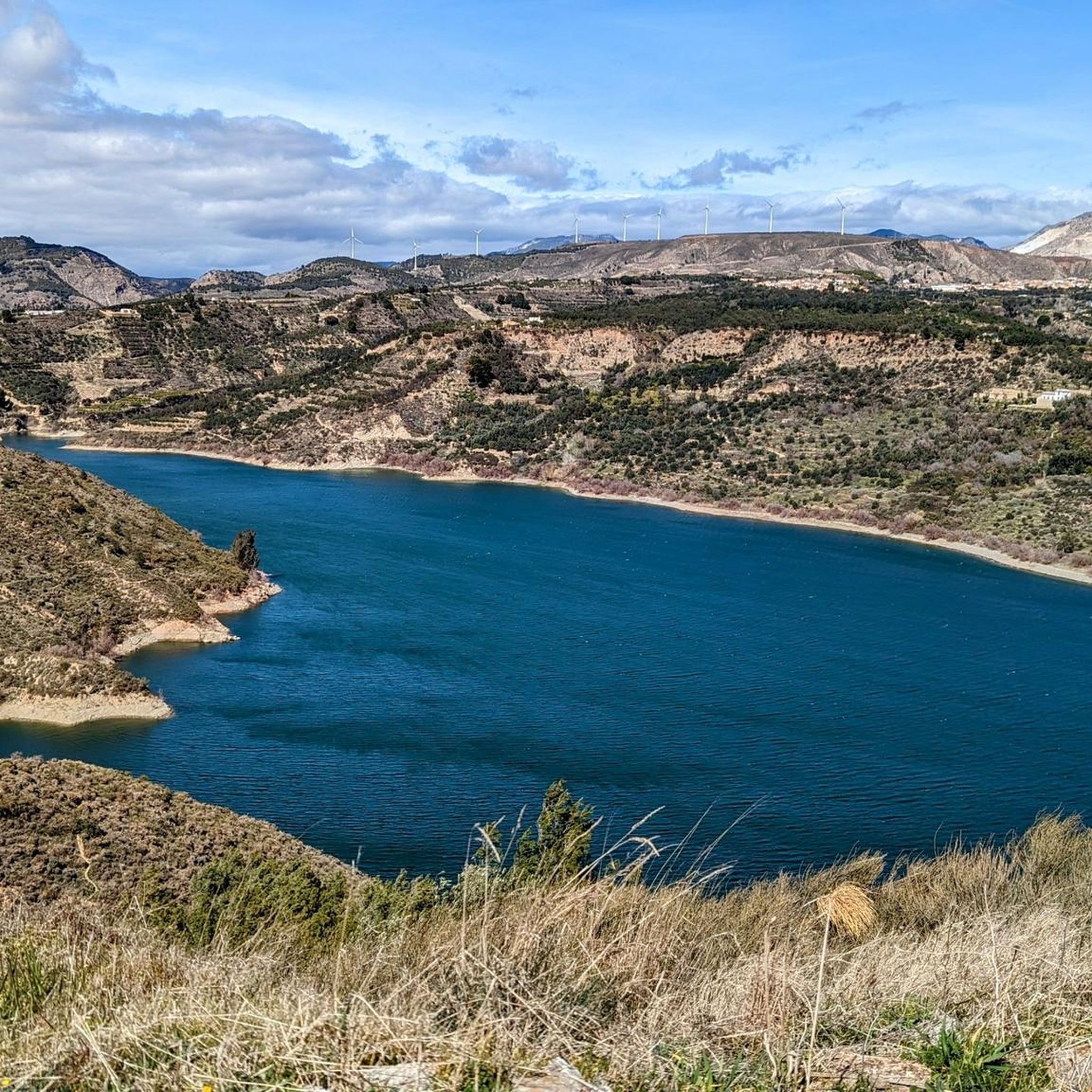
The waters of the Presa de Rules reservoir meander through the mountains of Granada's Costa Tropical, forming an impressive landscape where the blue of the reservoir contrasts with the steep slopes and Mediterranean vegetation. A magnificent natural viewpoint between the Alpujarra and the sea.
8
0
From the Puerto de la Gorgoracha, the view opens up over the Costa Tropical of Granada, where the blue of the Mediterranean contrasts with the mountains of Sierra Nevada and the green subtropical crops. A spectacular natural viewpoint that unites sea, valleys, and mountains in a single panorama.
9
0

Órgiva is a charming Spanish municipality located in the province of Granada, in Andalusia, and is historically considered the capital and administrative center of the western Alpujarra. This town of about 6,000 inhabitants stands at an altitude of 450 meters in the fertile valley of the Guadalfeo River, right at the foot of the Sierra Nevada Natural Park.
0
1

The La Cabra road seems to break through the rock to make its way. The open views and the ledges at the edge of the road make it a cycling classic.
1
0
The municipality of Órgiva is part of the Sierra Nevada Natural Park and is located on its southern slopes. Known as the capital of the Alpujarra region of Granada, it is an ideal destination for combining culture, nature, and gastronomy.
11
0
Frequently Asked Questions
How many road cycling routes can I explore around El Pinar?
El Pinar offers a wide selection of road cycling routes, with over 50 distinct tours available. These routes cater to various skill levels, including 1 easy, 21 moderate, and 31 difficult options, ensuring a suitable challenge for every cyclist.
What kind of terrain can I expect on road cycling routes in El Pinar?
Road cycling routes around El Pinar are primarily characterized by mountainous terrain with significant elevation changes. You'll encounter demanding climbs and descents on mostly paved roads, winding through a landscape that combines natural features with historical elements. The region's diverse topography provides varied challenges for cyclists.
Are there any family-friendly road cycling routes in El Pinar?
While many routes in El Pinar feature challenging mountainous terrain, there is at least one easy road cycling route available. For families, it's advisable to look for routes specifically marked as 'easy' and consider the elevation profiles to ensure a comfortable experience for all participants.
What are some notable natural features or landmarks I can see while cycling in El Pinar?
The El Pinar region, particularly the Granada area, offers stunning natural and historical sights. Cyclists can pass by the dramatic Barranco de la Luna Gorge, or the impressive Dike 24 of the Río Chico. Historical points of interest include the Lanjarón Castle Ruins. The region is also home to several beautiful waterfalls, such as the Lanjarón River Waterfall.
Are there any road cycling routes that feature waterfalls?
Yes, the El Pinar area is home to several beautiful waterfalls that can be enjoyed near cycling routes. Notable waterfalls include the Lanjarón River Waterfall, the Waterfall of the Arroyo del Alcázar, Cascada de los Bolos, and the Montalbán Irrigation Channel Waterfall. While not always directly on a cycling path, these are often accessible highlights in the vicinity.
What do other road cyclists say about their experience in El Pinar?
The road cycling routes in El Pinar are highly regarded by the komoot community, boasting an impressive average rating of 4.8 stars from over 190 reviews. Cyclists frequently praise the challenging ascents, scenic views of the surrounding valleys, and the diverse mountainous landscapes that define the region.
Are there any long-distance road cycling routes for experienced riders?
Absolutely. For experienced riders seeking extensive distances and significant climbs, El Pinar offers several challenging options. Routes like the Carretera de la Cabra – Recta de la Cabra loop from El Pinar cover over 115 km with substantial elevation gains, providing a demanding and rewarding experience.
Can I find loop routes for road cycling in El Pinar?
Yes, many of the road cycling routes in El Pinar are designed as loops, allowing you to start and finish in the same location. Examples include the popular Lanjarón Loop and the extensive Órgiva – View of Lanjarón loop from Lanjarón, which offers a long ride through the local mountain ranges.
What is the best time of year for road cycling in El Pinar?
Given the mountainous terrain, the best time for road cycling in El Pinar (Granada region) is typically during spring and autumn when temperatures are milder. Summers can be very hot, especially on climbs, while winters might bring colder temperatures and potential snow at higher elevations, particularly during the Sierra Nevada snowmelt season. Checking local weather forecasts is always recommended.
Are there any routes that offer views of dams or reservoirs?
Yes, some routes in the El Pinar area provide scenic views of local water bodies. For instance, the Nazari Bridge of Tablate – Views of the Rules Dam loop from Lanjarón offers glimpses of the Rules Dam, combining historical elements with picturesque reservoir vistas.
What are the typical durations for road cycling routes in El Pinar?
The duration of road cycling routes in El Pinar varies significantly based on distance, elevation, and difficulty. While some routes can be completed in under 4 hours, many of the more challenging and longer loops, such as the Órgiva – Views of the Rules Dam loop from Lanjarón, can take upwards of 6 hours to complete due to their extensive distances and considerable vertical gain.
Most popular attractions around El Pinar

Get inspired with the komoot mobile app


Explore more
Browse the best Road cycling routes in other regions.
