The best running trails around Quijorna
4.6
(28)
1,212
runners
131
runs
Jogging around Quijorna offers a natural and rural environment, approximately 39 kilometers from Madrid. The region is characterized by extensive oak forests, broom scrub, and varied flora, providing scenic routes. Its landscape is shaped by the interfluvial area of rivers like the Perales and several arroyos, contributing to picturesque views. Hilly terrain and open spaces, such as Dehesa Boyal, offer varied elevations for different jogging intensities.
Best jogging routes around Quijorna
- The most popular jogging route is Villanueva de la…
Last updated: October 28, 2026
4.0
(1)
103
runners
13.9km
01:31
70m
70m
Moderate run. Good fitness required. Mostly paved surfaces.
38
runners
Hard run. Very good fitness required. Mostly paved surfaces.

18
runners
13.2km
01:27
200m
200m
Moderate run. Good fitness required. Mostly paved surfaces.
10
runners
8.86km
01:04
80m
80m
Moderate run. Good fitness required. Mostly paved surfaces.
12
runners
10.4km
01:07
80m
80m
Moderate run. Good fitness required. Mostly paved surfaces.
Get access to more routes and recommendations from other explorers.
Already have an account?
Our route recommendations are based on thousands of hikes, rides, and runs completed by other people on komoot.
Start today with a free account
Your next adventure awaits.
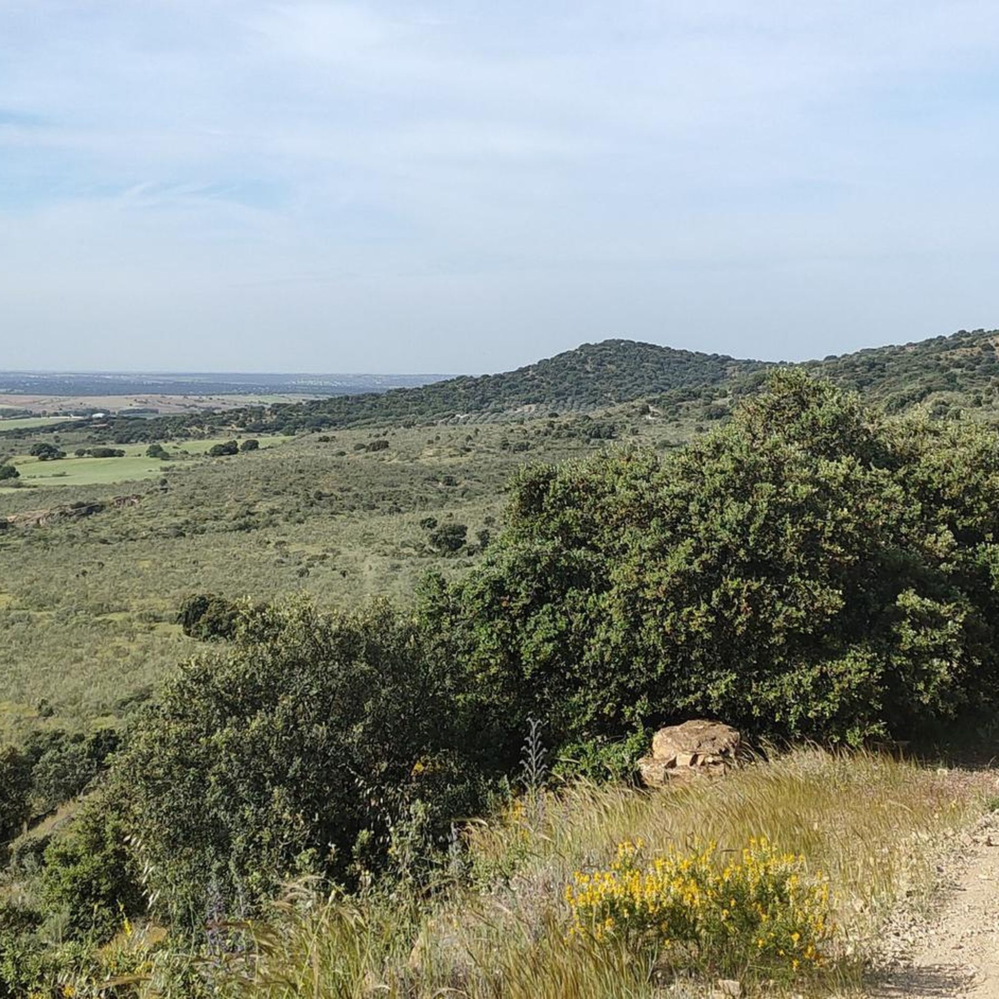
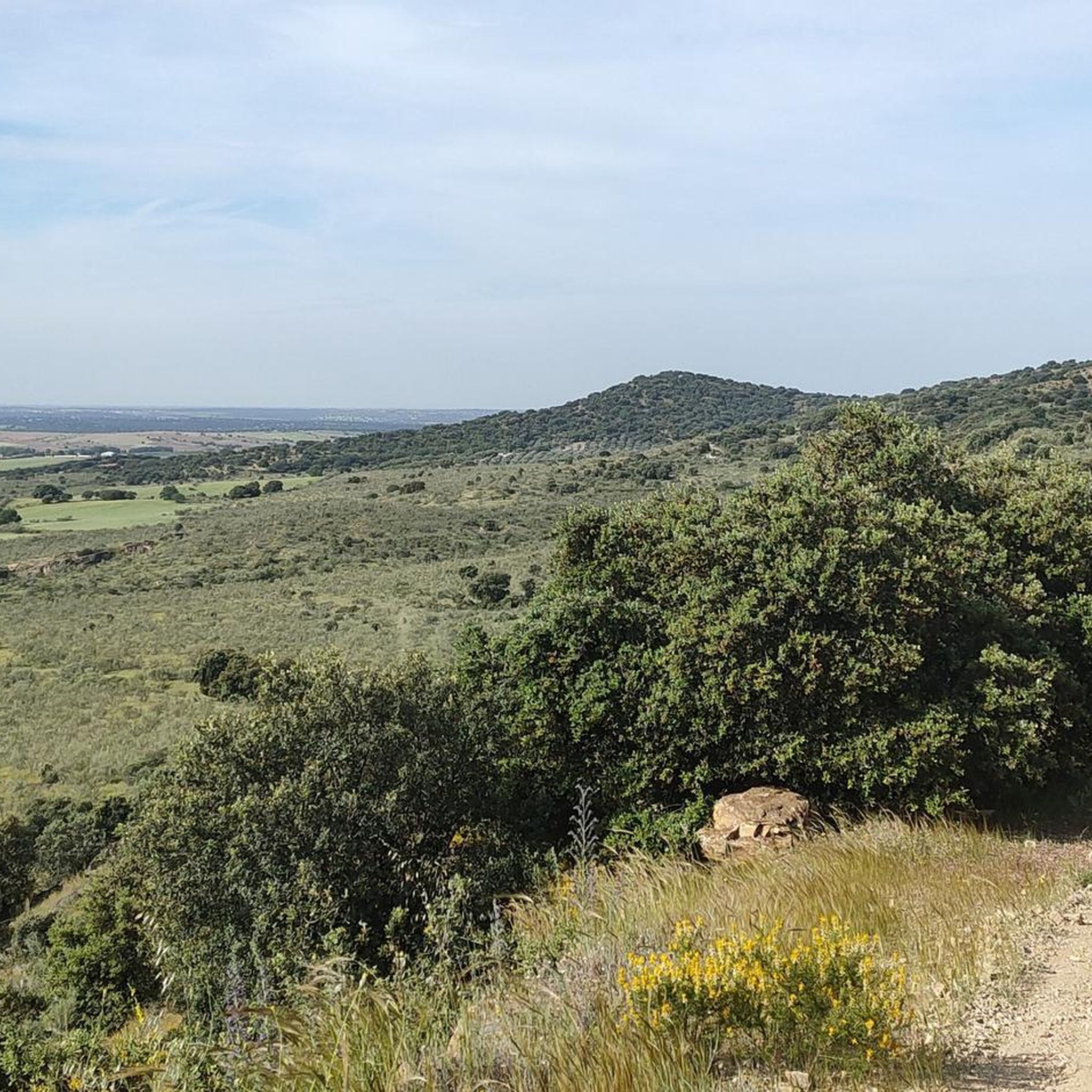
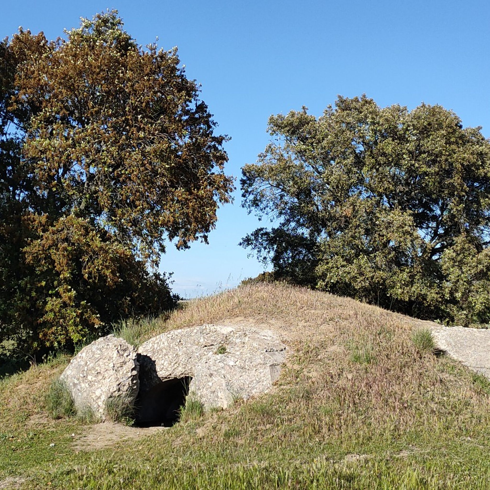

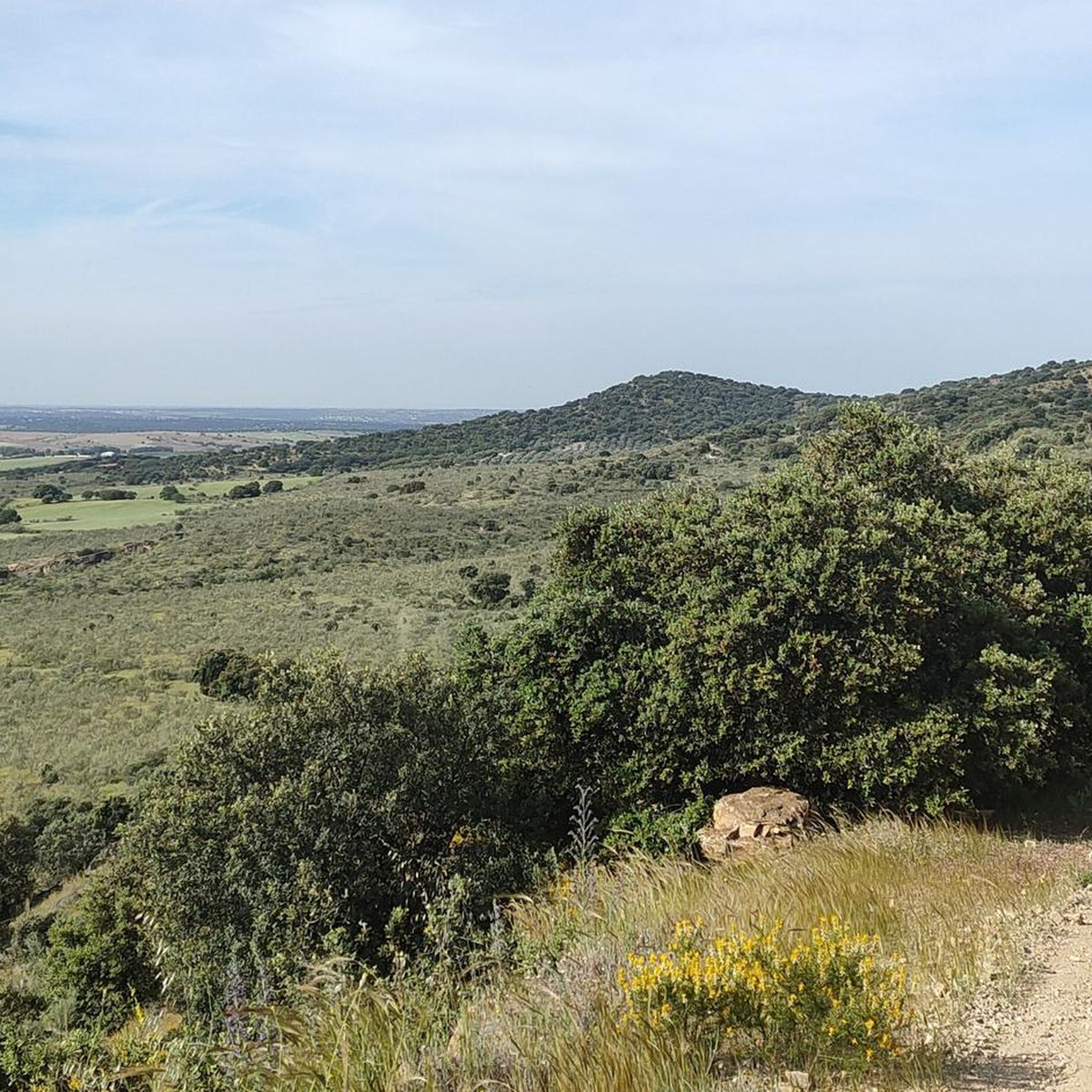
Tips from the Community

It is located within the Guadarrama River Regional Park, with hiking trails and natural spaces ideal for outdoor activities.
8
0


The function of this type of chimneys is to act as pressure relief valves in hydraulic systems. In this case, it is located in the canal that carries water from the Picadas reservoir to the station that treats drinking water in Majadahonda.
1
0

In this area there are a series of bunkers, machine gun nests and trenches that are vestiges of the Civil War.
1
0

The castle could have a Muslim origin. Although there is no abundant documentation in this regard, it can be assumed that it was the residence of the Arab chief of the area, to whom all the surrounding towns paid tribute. The first written references are much later. It is known that in the 14th century its owner was García Fernández, and that in the 15th century it passed into the hands of Alfonso Álvarez de Toledo, a nobleman in the service of Juan II of Castile. In 1450 it appears mentioned as a fortress in a document dated in the city of Madrid.
1
0
It is also known as Castillo de Villafranca since the village of Villafranca del Castillo was located right in this same area, which currently gives its name to an urbanization very close to here. Located near the confluence of the Aulencia rivers, a current from which it takes its name, and Guadarrama. This area is one of the areas of greatest ecological value in the Regional Park of the middle course of the Guadarrama River and its surroundings, a protected natural area created in 1999. The building is in a state of progressive ruin, although a large part of the original structure is preserved. It is privately owned
1
0

Balancing chimneys (also called oscillation wells or piezometric towers) are a type of auxiliary construction in hydraulic systems that act as pressure relief valves. They are complementary structures to infrastructures that work with water and whose objective is to serve as a buffer against overpressures and underpressures in the canal. The Picadas Canal is a water transport channel that connects the Picadas reservoir with the Majadahonda Potable Water Treatment Station (ETAP). It has a length of 49.2 km and its entry into service was in 1967. It is the first major supply channel for Madrid that requires elevations, given that the catchment point (the Alberche River) is at a level much lower than that of the city of Madrid. It has two lift stations: Picadas and Colmenar del Arroyo I. More at https://bigjoe.es/iii-marcha-del-cocido-de-quijorna-2016/
1
0
Frequently Asked Questions
How many running routes are available around Quijorna?
There are over 100 running routes documented around Quijorna on komoot, offering a wide variety of options for all fitness levels. These include 5 easy routes, 87 moderate routes, and 17 difficult routes, ensuring there's a suitable path for every runner.
What kind of natural landscapes can I expect to see while jogging in Quijorna?
Quijorna offers a diverse natural environment for runners. You'll find extensive oak forests, paths winding through broom scrub, rosemary bushes, and thyme fields. The landscape is also shaped by rivers like the Perales and various arroyos, providing picturesque views. Areas like Dehesa Boyal and Mesa de los Llanos offer open spaces and gentle elevations.
Are there any historical sites or landmarks along the running trails in Quijorna?
Yes, Quijorna's running routes often incorporate historical elements. You can explore trails that pass by Civil War remains, such as bunkers and trenches, or discover well-preserved old lime kilns. For example, the difficult route Bunkers and trenches – Tree Stump loop from Av. Cerro Alarcón - Centro Cívico features significant historical sites. You might also encounter the Old Lime Kiln of Quijorna.
Are there any circular running routes in Quijorna?
Many of the running routes in Quijorna are designed as loops, offering convenient circular paths. For instance, the popular Villanueva de la Cañada loop from Villanueva de la Cañada is a moderate 8.4-mile circular trail. Another option is the Tree Stump loop from Puerto Tornavacas - Av. Madrid, which also provides a circular experience through varied terrain.
What do other runners say about the trails in Quijorna?
The running trails in Quijorna are highly regarded by the komoot community, boasting an average rating of 5.0 stars from over 20 reviews. Runners frequently praise the varied terrain, the natural beauty of the oak forests, and the unique historical points of interest found along the routes.
Are there any family-friendly running routes suitable for beginners or those with strollers?
While specific stroller-accessible routes are not detailed, Quijorna does offer 5 easy running routes that are generally suitable for beginners or families looking for a less strenuous experience. These paths are typically well-established and traverse gentle terrain, making them a good starting point for a family outing.
Can I bring my dog on the running trails in Quijorna?
Quijorna's natural environment, with its extensive trails and open spaces, is generally welcoming for dogs. Many routes pass through natural areas like oak forests and along arroyos, which can be enjoyable for pets. It's always advisable to keep dogs on a leash, especially in protected areas like the Special Protection Area for Birds (ZEPA) that covers half of Quijorna's municipal area, and to carry water for them.
What are some notable natural features or viewpoints to look out for on a run?
As you run through Quijorna, you'll encounter diverse flora including oak forests, broom scrub, and aromatic rosemary and thyme fields. The interfluvial area of rivers like the Perales and various arroyos contribute to picturesque landscapes. Hilly areas such as Dehesa Boyal and Mesa de los Llanos offer varied terrain and potential viewpoints over the countryside.
Are there any routes that feature water bodies or reservoirs?
Yes, the region's landscape is defined by the interfluvial area of rivers like the Perales and other arroyos, offering refreshing views. The Aulencia River can be crossed on some routes. The Cerro Alarcón Reservoir is also a prominent feature in the area, with a moderate 4.1-mile loop near it that offers scenic reservoir views.
How can I get to the running trails in Quijorna using public transport?
Quijorna is located approximately 39 kilometers from Madrid. While specific public transport connections directly to trailheads are not detailed, local bus services from Madrid typically connect to Quijorna. From the town center, many trails are accessible, including those that start from Av. Cerro Alarcón - Centro Cívico or Puerto Tornavacas - Av. Madrid.
Is parking available near the running routes in Quijorna?
Yes, parking is generally available in and around Quijorna, especially near common starting points for trails. For routes like the Bunkers and trenches – Tree Stump loop, starting from Av. Cerro Alarcón - Centro Cívico, you can typically find parking options. Similarly, areas near the Cerro Alarcón Reservoir also offer parking for trail access.
What is the best time of year to go running in Quijorna?
Quijorna's natural environment makes it suitable for running throughout much of the year. Spring and autumn offer pleasant temperatures and vibrant scenery, with blooming flora or colorful foliage. Even in winter, the oak forests and trails can be beautiful, though some paths might be muddier. Summers can be warm, so early morning or late evening runs are recommended during hotter months.
Most popular attractions around Quijorna

Get inspired with the komoot mobile app


Explore more
Browse the best Running Trails & Routes in other regions.
