The best walks and hikes around Alameda De La Sagra
4.7
(4)
25
hikers
11
hikes
Hiking around Alameda De La Sagra offers a network of trails through the region's agricultural fields and gentle hills. The landscape is characterized by open countryside, with routes often connecting small towns and villages. Hikers can expect varied terrain, including flat paths and some moderate ascents to local high points.
Best hiking trails around Alameda De La Sagra
- The most popular hiking route is Trails through the fields loop from Esquivias, a 10.4 miles (16.7 km) trail that takes about 4 hours 24 minutes to complete. This route explores the expansive agricultural lands surrounding Esquivias.
- Another top favourite among local hikers is Esquivias to Valdemoro Trail Loop, a moderate 9.2 miles (14.8 km) path. This trail connects two towns, offering a journey through the local countryside.
- Local hikers also love the Cerro de la Cruz — round trip from Esquivias, a 1.4 miles (2.2 km) trail leading through local fields and to a small hill, often completed in about 37 minutes.
- Hiking around Alameda De La Sagra is defined by open fields, gentle hills, and countryside trails. The network offers options for different ability levels, from short, easy walks to longer, moderate excursions.
- The routes in Alameda De La Sagra are highly rated by the komoot community with an average score of 4.7 stars from a few reviews. More than 10 hikers have used komoot to explore Alameda De La Sagra's varied terrain.
Last updated: October 25, 2026
4.0
(1)
2
hikers
14.8km
03:55
150m
150m
2.21km
00:38
50m
50m
Easy hike. Easily walkable paths.

5.0
(2)
6
hikers
12.2km
03:20
180m
180m
Moderate hike. Good fitness required. Easily walkable paths.
2
hikers
7.30km
01:53
40m
40m
Easy hike. Easily walkable paths.
2
hikers
7.76km
01:59
20m
20m
Easy hike. Easily walkable paths.
Get access to more routes and recommendations from other explorers.
Already have an account?
Our route recommendations are based on thousands of hikes, rides, and runs completed by other people on komoot.
Start today with a free account
Your next adventure awaits.
Tips from the Community

If you survive the first corner, the rest is done.
0
0

Path that runs between beautiful fields of cereals and olive trees northeast of Esquivias. Beautiful, especially in spring, with its bright green. But after the rains there can be mud, prepare your boots just in case.
1
0
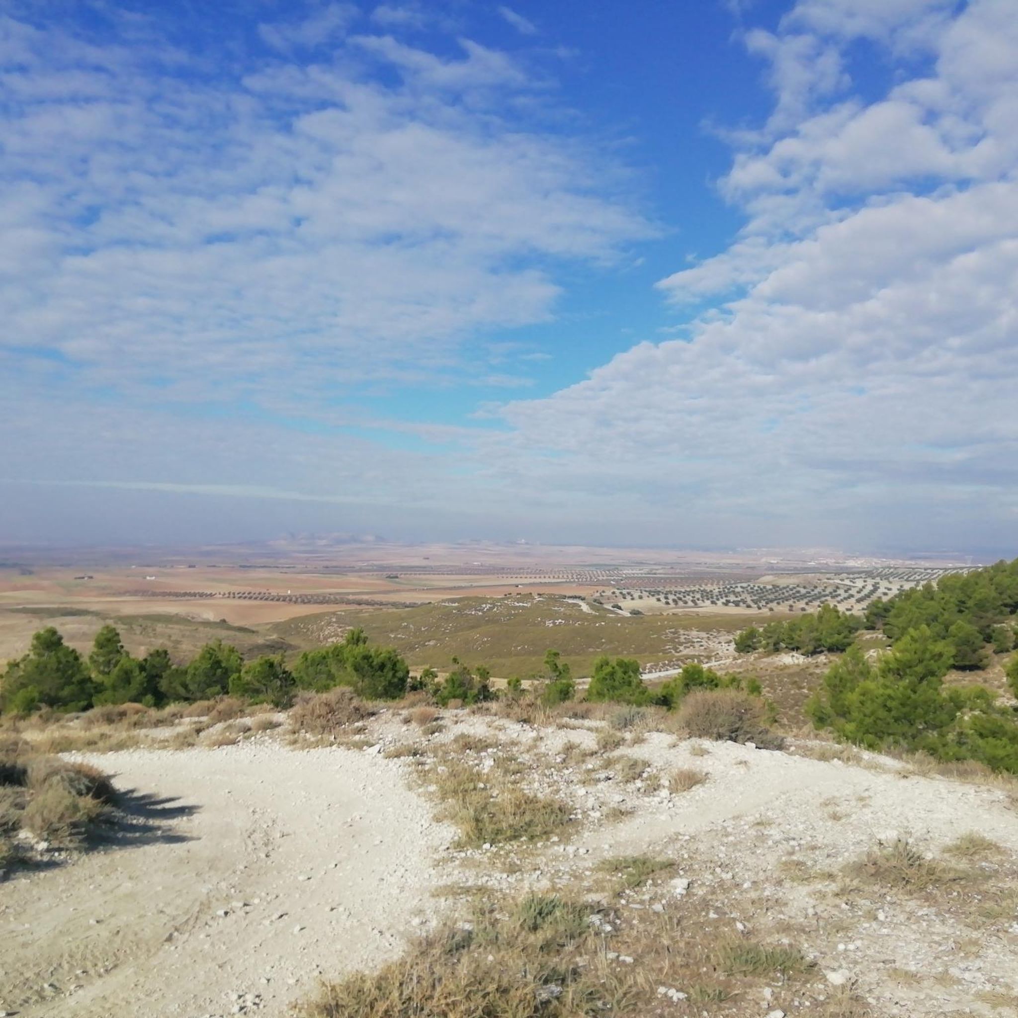
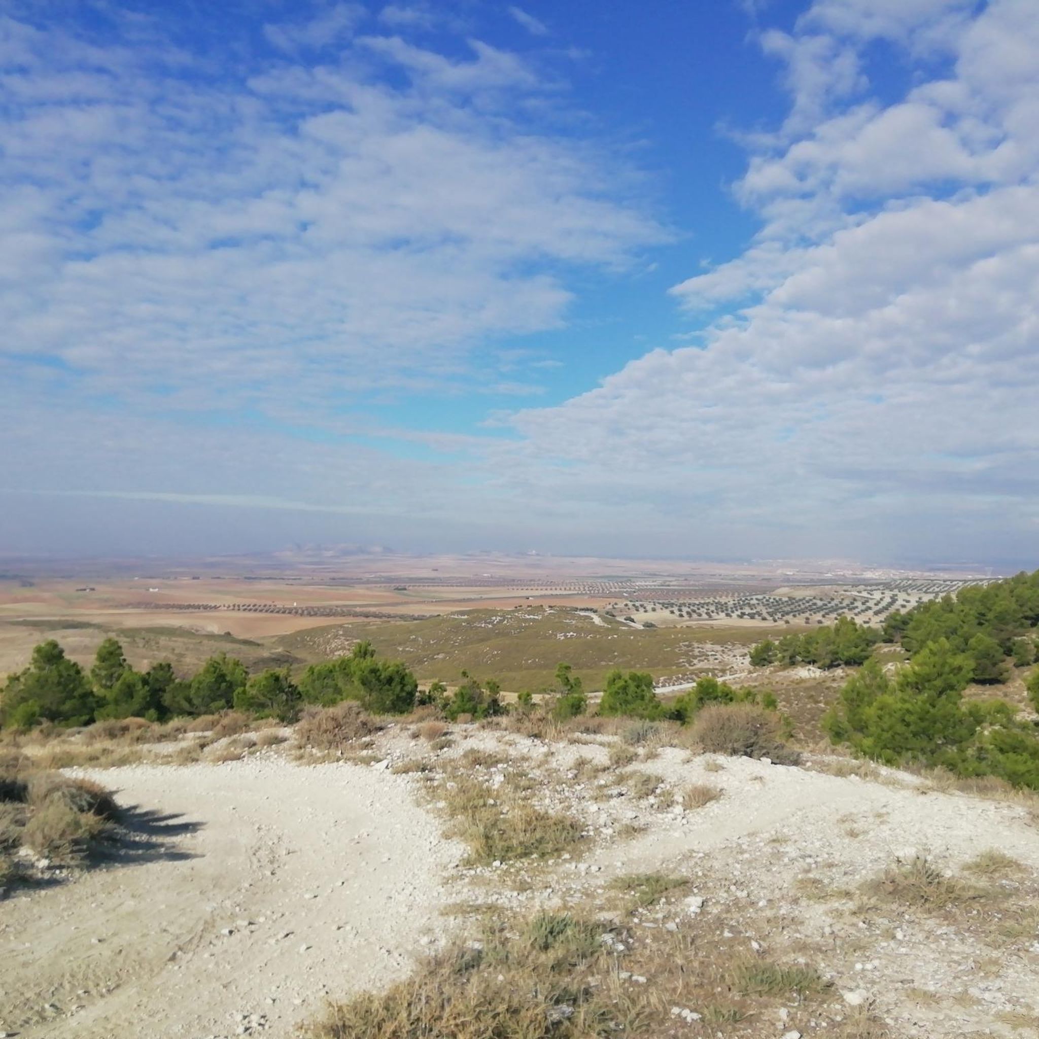
A balcony-viewpoint where you can see practically the entire Sagra. A beautiful place to walk through nature, which is something totally different in the entire area.
1
0
The Ermita De Santa Bárbara is located at the top of the hill of the same name and is also the highest point in the town of Esquivias. Very close you can find a viewpoint. It is a very quiet place with spectacular views.
0
0
Although it is officially called the Cerro de Santa Bárbara, they call it the Cerro de la Cruz, after a cross that is located along with the geodesic vertex. The hill is not high but offers good views of the town of Esquivias.
0
0

Something curious about Mocejón is that it was not always located in this exact place. At first it was located on a hill next to the Tagus, but there, because there were more mosquitoes, they had many problems with malarial diseases, so it was decided to move the town to its current location.
4
1

Somewhat steep ascent but worth the effort to have incredible views of this northern area of Toledo.
1
0
Frequently Asked Questions
How many hiking trails are available around Alameda De La Sagra?
There are 6 hiking routes detailed around Alameda De La Sagra, offering a variety of experiences through the region's agricultural fields and gentle hills.
Are there easy or family-friendly hiking options in Alameda De La Sagra?
Yes, the region offers easy trails suitable for beginners and families. For a short, accessible walk, consider the Cerro de la Cruz — round trip from Esquivias, which is only 1.4 miles (2.2 km) long and takes about 37 minutes to complete.
What is the typical duration for hikes in Alameda De La Sagra?
Hikes in Alameda De La Sagra vary in length. Shorter routes like the Cerro de la Cruz — round trip from Esquivias can be completed in under an hour, while longer, moderate trails such as Trails through the fields loop from Esquivias can take around 4 hours 24 minutes.
Are there any circular walks available in Alameda De La Sagra?
Yes, several routes are designed as circular walks, allowing you to start and end in the same location. Examples include the Trails through the fields loop from Esquivias and the Esquivias to Valdemoro Trail Loop.
What kind of terrain can I expect on the hiking trails?
The terrain around Alameda De La Sagra is characterized by open countryside, agricultural fields, and gentle hills. You can expect a mix of flat paths and some moderate ascents, offering varied walking surfaces.
What do other hikers enjoy most about hiking in Alameda De La Sagra?
The area is highly rated by the komoot community, with an average score of 4.7 stars. Hikers often praise the open fields, gentle hills, and countryside trails that define the region's hiking experience.
Are there any interesting landmarks or attractions to see while hiking?
Yes, you can explore several points of interest. For example, the Mount Magán loop from Magán takes you near Mount Magán. Other nearby attractions include Puñoenrostro Castle and the Historic Center of Illescas.
What is the best time of year to go hiking in Alameda De La Sagra?
Given the region's agricultural landscape and open fields, spring and autumn generally offer the most pleasant hiking conditions with milder temperatures. Summer can be very hot, while winter might bring cooler, potentially wet weather.
Are there any trails that connect different towns or villages?
Yes, some trails offer a journey between local towns. The Esquivias to Valdemoro Trail Loop is a good example, connecting two towns through the countryside.
What should I wear for hiking in Alameda De La Sagra?
Given the varied terrain and open exposure, it's advisable to wear comfortable hiking shoes, layered clothing suitable for the season, and sun protection (hat, sunscreen) especially during sunnier months. Bringing water is always recommended.
Are there any moderate difficulty trails for more experienced hikers?
Yes, the majority of trails in the area are rated as moderate. For instance, the Cerro de la Cruz – Hermitage of Santa Barbara loop from Esquivias is a moderate 7.7-mile (12.3 km) route that offers a good challenge.
Most popular routes around Alameda De La Sagra
Most popular attractions around Alameda De La Sagra

Get inspired with the komoot mobile app


Explore more
Browse the best Hikes in other regions.
