Top 13 Mountain Passes around Alàs I Cerc
Best mountain passes around Alàs I Cerc are situated in the Catalan Pyrenees, nestled between the Segre River and the Cadí mountain range. This area, which includes parts of the Cadí-Moixeró Natural Park, features diverse landscapes ranging from lush forests to expansive meadows and towering peaks. The region offers various routes suitable for hiking, mountain biking, and exploring historical paths.
Best mountain passes around Alàs I Cerc
- The most popular mountain pass is Coll de Port, a mountain pass…
Last updated: June 26, 2026
Coll de Port
Highlight • Mountain Pass
Showing Translation
Tip by

Coll de Josa
Highlight • Mountain Pass
Translated by Google •
Tip by
Sign up now to discover places like this
Get recommendations on the best single tracks, peaks, & plenty of other exciting outdoor places.
Sign up for free
Coll de la Peguera
Highlight • Mountain Pass
Translated by Google •
Tip by

Port de la Rabassa / Puerto de la Rabassa
Highlight • Mountain Pass
Translated by Google •
Tip by
Les Bassotes Pass
Highlight • Mountain Pass
Translated by Google •
Tip by

Sign up for free to discover even more mountain passes around Alàs I Cerc.
Sign up for free
Already have an account?
Start today with a free account
Your next adventure awaits.
Login or Signup

Tips from the Community

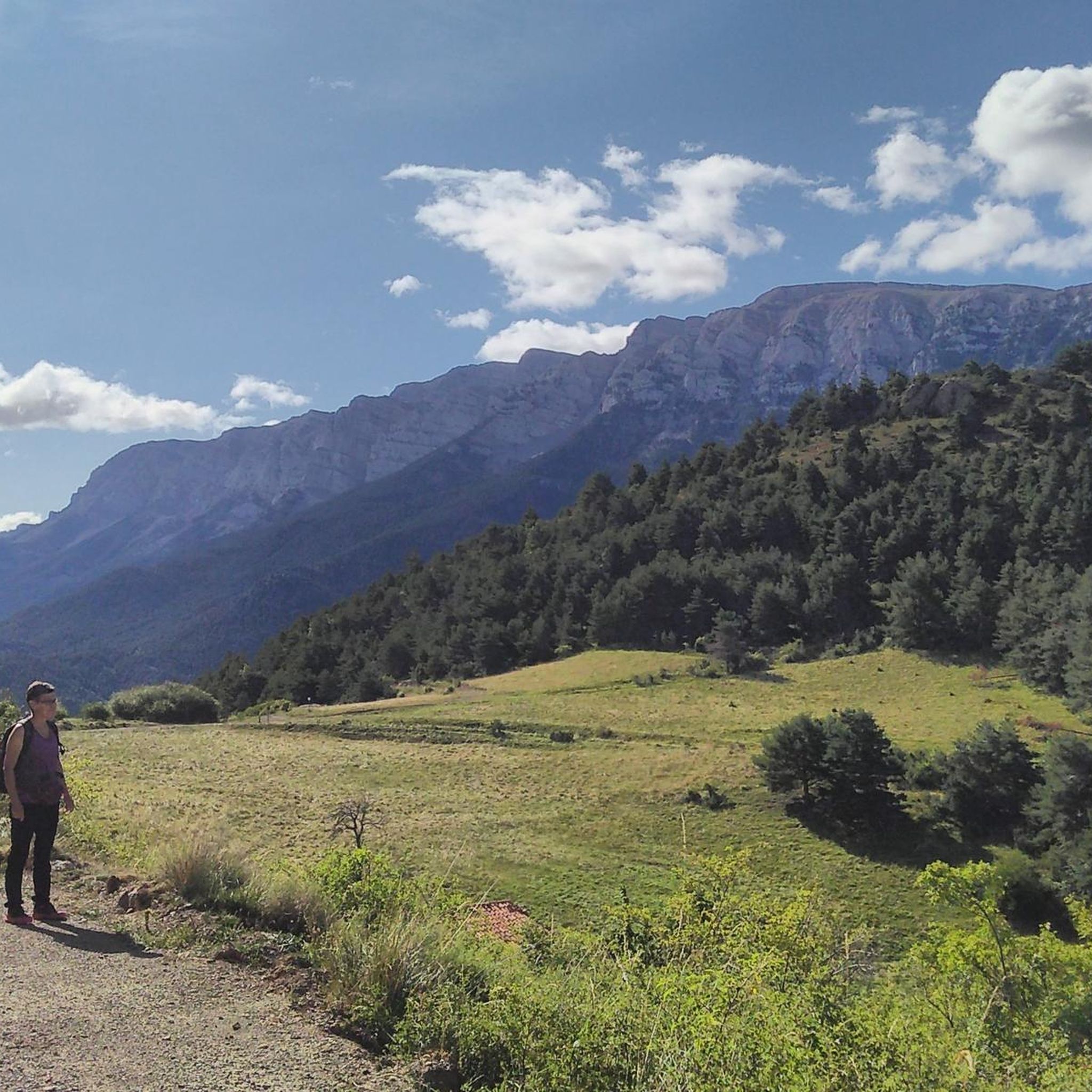
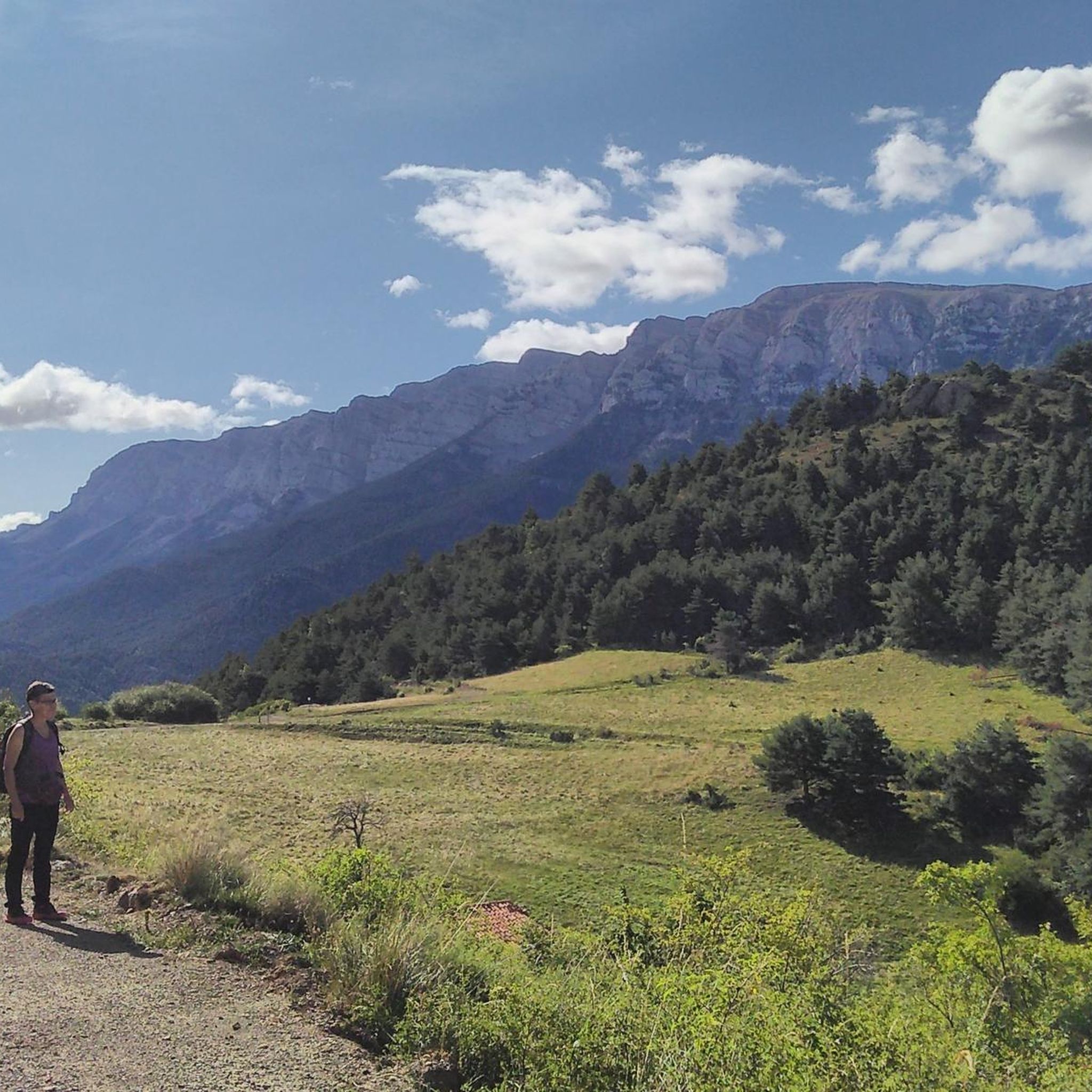
High mountain crossing point with spectacular views over the Cadí and the Pedraforca massif. The pass marks the boundary between black pine forests and alpine meadows, and is an ideal place to catch your breath before tackling the final climb to the summit. On a mountain bike, the climb is tough and with rocky sections that may require pushing the bike at some points. Tip: slow down and save your energy for the last section; the reward is a panoramic view that will make you forget your tiredness.
0
0

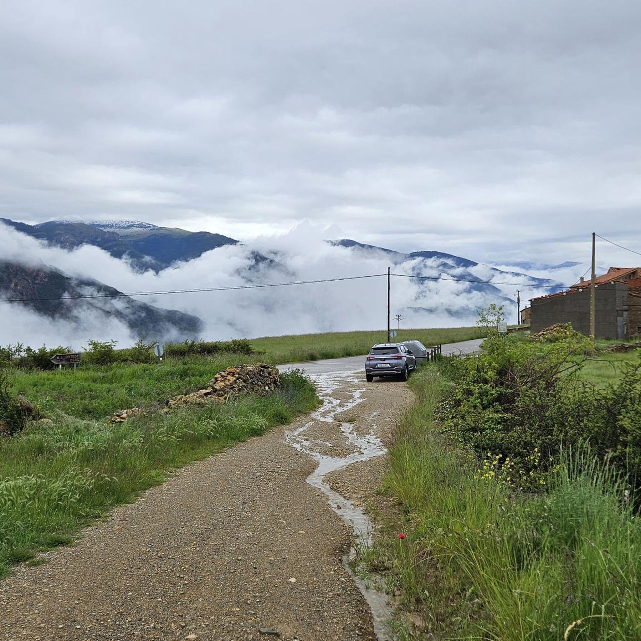
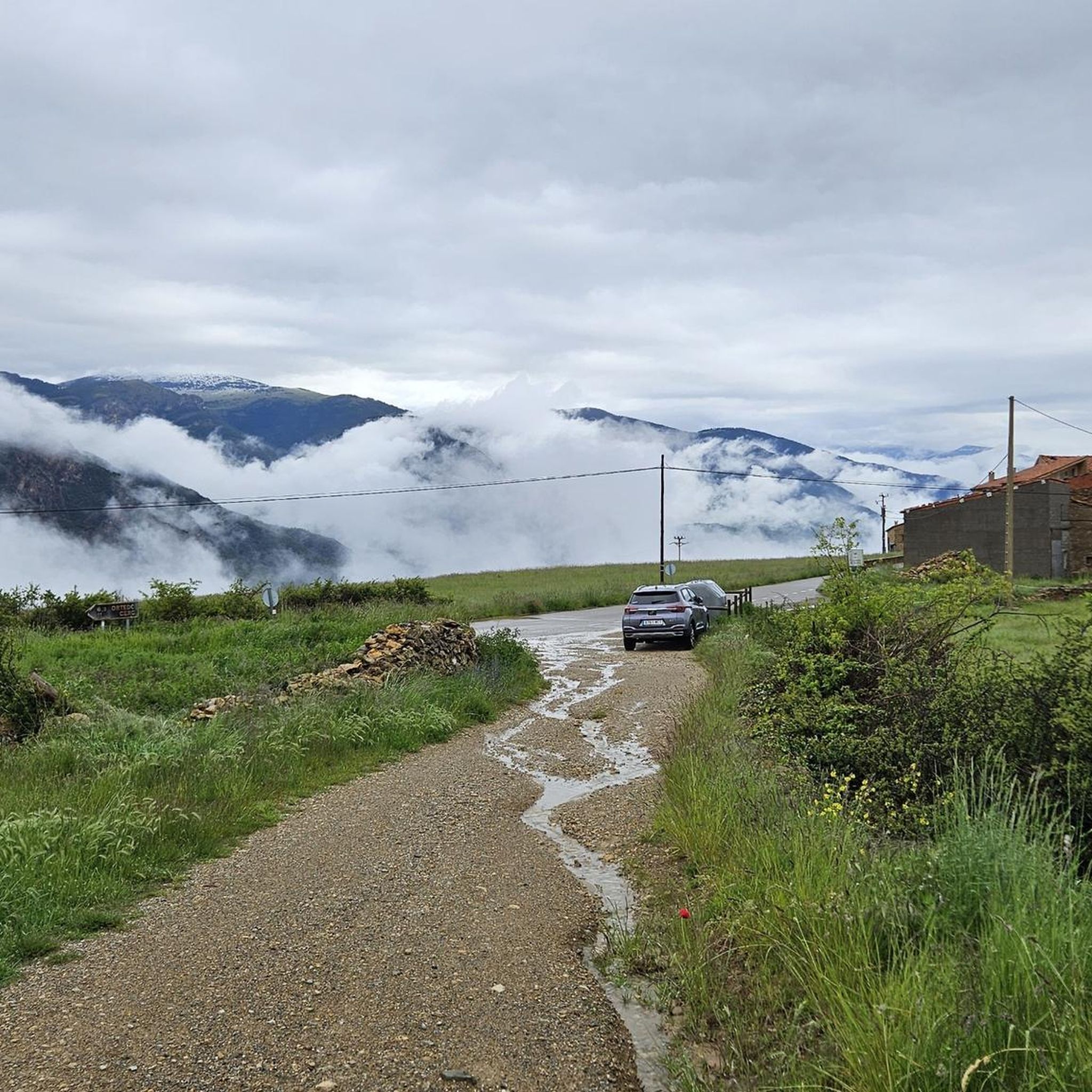
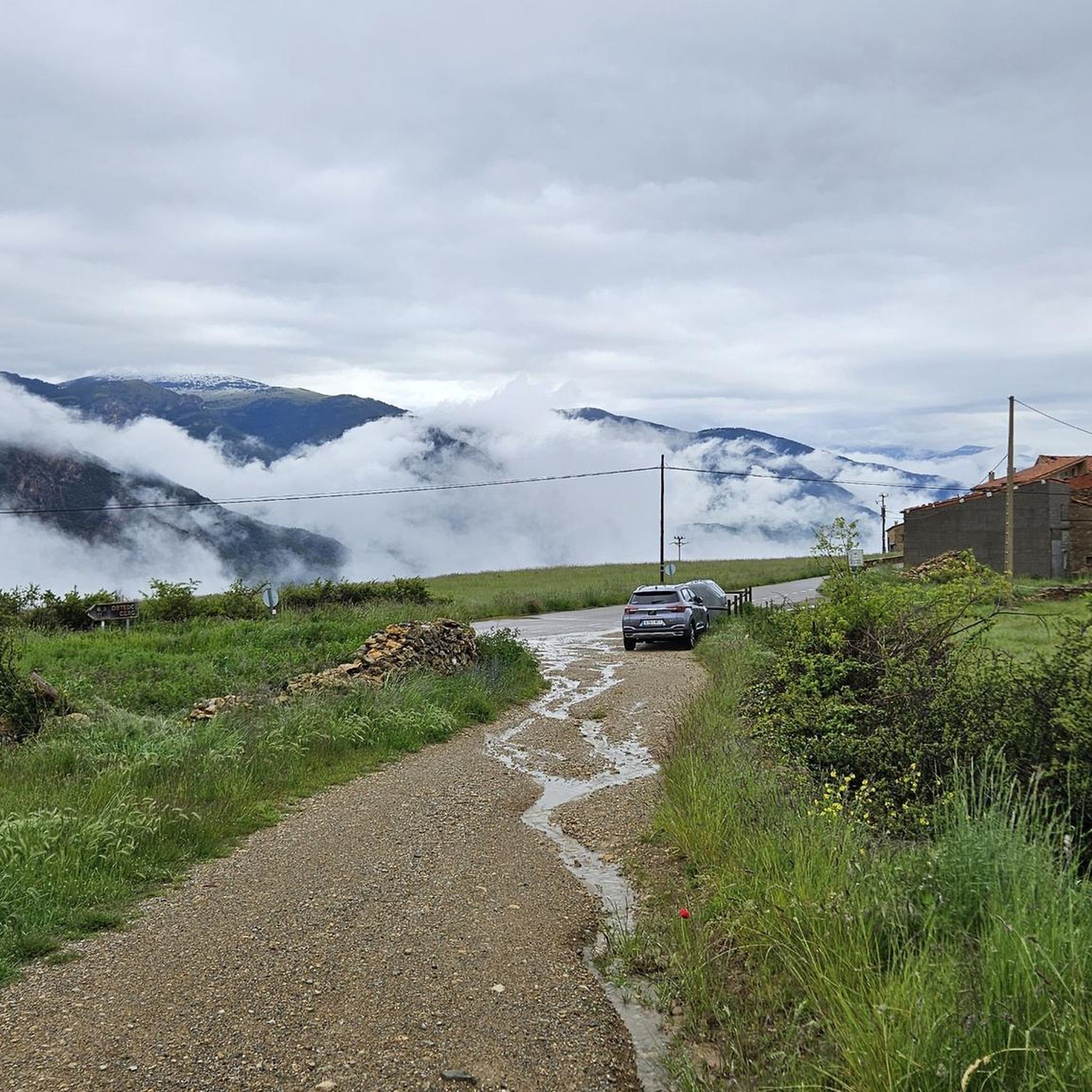
From this pass, a rather technical trail leads to the village of Gósol. Getting here is quite difficult; it's a very long and arduous climb.
1
0
From this hill there is a rather technical trail to Gósol.
1
0

Coll de Josa, between Gòsol and Josa del Cadí. Inflection point on the road, you go up here and from here you go down.
1
1

Coll de Josa from Tuixent is a climb in the Spanish Pyrenees region. It has a length of 11.2 kilometers and an ascent of 517 vertical meters with an average gradient of 4.6%, the top of the ascent is located at 1630 meters above sea level.
1
1

The Coll de Peguera is also known as Coll de la Rabassa. In fact, on the official Andorra tourism website, the name "Alt de la Rabassa" is used. And on many altimetry websites, it is also known as "Alt de la Rabassa". The two slopes are quite similar in length and hardness, differing only slightly in the steep descent of the northernmost slope that passes through Aixirivall. When you reach the top of the mountain pass, you can take a road that goes higher towards the Naturlandia mountain activities park, which is highly recommended by the way. Another curiosity is that from Naturlandia, you continue going up an unpaved road to the border with Spain, where the views are wonderful. I leave you the link to access the altimetries of @cyclingcols (the best) --> http://www.cyclingcols.com/col/Rabassa
1
0

One of the most well-known passes in Andorra is Port de la Rabassa and this is the first big slope before reaching the top. Despite not being at the top of the mountain, the port and the road itself offer very good views in the middle of pine forests.
0
0

A challenging climb that winds through the pine forest until you reach the mountain pass. Magnificent views of the Volire Valley below.
0
1
Frequently Asked Questions
What kind of natural landscapes can I expect to see around the mountain passes near Alàs i Cerc?
The region around Alàs i Cerc, particularly within the Cadí-Moixeró Natural Park, offers diverse landscapes. You'll find everything from lush forests and valleys to expansive meadows and towering mountain ranges. Passes like Coll de Port are known for their magnificent views, while others provide access to high-altitude terrain and rich flora and fauna.
Are there challenging mountain passes for experienced cyclists or hikers?
Yes, the area offers challenging options. For cyclists, Port de la Rabassa / Puerto de la Rabassa is a demanding climb reaching over 2000 meters, offering incredible views of the Pyrenees. Similarly, Les Bassotes Pass is noted for its very long and arduous climb, leading to a rather technical trail towards Gósol.
What activities can I do near the mountain passes in Alàs i Cerc?
The mountain passes around Alàs i Cerc are excellent starting points for various outdoor activities. You can explore numerous routes for hiking, mountain biking, and even running. For detailed routes, check out the hiking trails, road cycling routes, and running trails available in the region.
Which mountain passes offer the best panoramic views?
Many passes in the region boast stunning vistas. Coll de Port is highly recommended for its magnificent viewpoint. Coll de Josa (1620 m) also serves as a privileged vantage point in the beautiful Valls valley, offering spectacular views of Gósol. Additionally, Coll d'Arcas provides wide views of the northern parts of the Alt Urgell comarca.
Are there any historical mountain passes in the area?
Yes, some passes have historical significance. Coll d'Arcas (or Coll d'Àres), located near Alàs i Cerc, historically served as a traditional pass for herds and travelers through the mountains. It even features an old stone altar from medieval times, offering a glimpse into the region's past.
What is special about Coll de Josa?
Coll de Josa (1620 m) is a notable mountain pass situated at 1620 meters above sea level. It's a significant inflection point on the road, offering a privileged vantage point in the Valls valley with spectacular views, particularly of the town of Gósol. It's also a popular spot for cyclists, with an ascent of 517 vertical meters over 11.2 kilometers from Tuixent.
Can I find mountain passes suitable for mountain biking?
Absolutely. The region is well-prepared for mountain biking, with numerous marked routes that traverse valleys, hermitages, viewpoints, and charming villages. Passes within the Cadí-Moixeró Natural Park, for instance, offer extensive networks of trails suitable for BTT, catering to various difficulty levels.
What is the highest mountain pass near Alàs i Cerc?
Port Negre d'Urgell (or Port Negre de Claror) is a high Pyrenean pass at 2,604.8 meters. It connects the municipality of Les Valls de Valira in Alt Urgell with the Andorran parish of Sant Julià de Lòria, offering challenging terrain and expansive views for experienced hikers and cyclists.
What do visitors particularly enjoy about the mountain passes around Alàs i Cerc?
Visitors appreciate the stunning natural scenery, diverse ecosystems, and extensive opportunities for outdoor activities like hiking and cycling. The passes provide access to high-altitude landscapes and panoramic viewpoints. The komoot community has shown its appreciation with over 30 upvotes and more than 20 photos shared, highlighting the beauty and experience of these routes.
Is there a mountain pass that connects to Andorra?
Yes, Port Negre d'Urgell (or Port Negre de Claror) is a significant pass that connects the municipality of Les Valls de Valira in Alt Urgell with the Andorran parish of Sant Julià de Lòria. This cross-border connection offers unique routes and expansive views.
What is the significance of Coll de la Peguera?
Coll de la Peguera is a challenging mountain pass, often also known as Alt de la Rabassa. It offers a demanding climb, with an approximate distance of 13.9 km from Sant Julià de Lòria and an average slope of 6.6%. From the top, you can continue further towards the Naturlandia mountain activities park or even an unpaved road to the border with Spain for wonderful views.
Most popular routes around Alàs I Cerc
Most popular attractions around Alàs I Cerc

Get inspired with the komoot mobile app


Explore more
See even more epic mountain passes by checking out these guides around Alàs I Cerc:
