The best running trails around Navahondilla
4.0
(1)
197
runners
41
runs
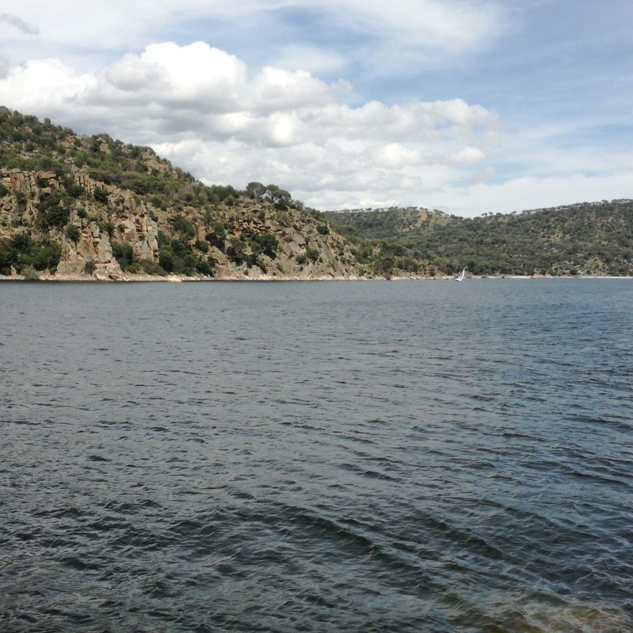
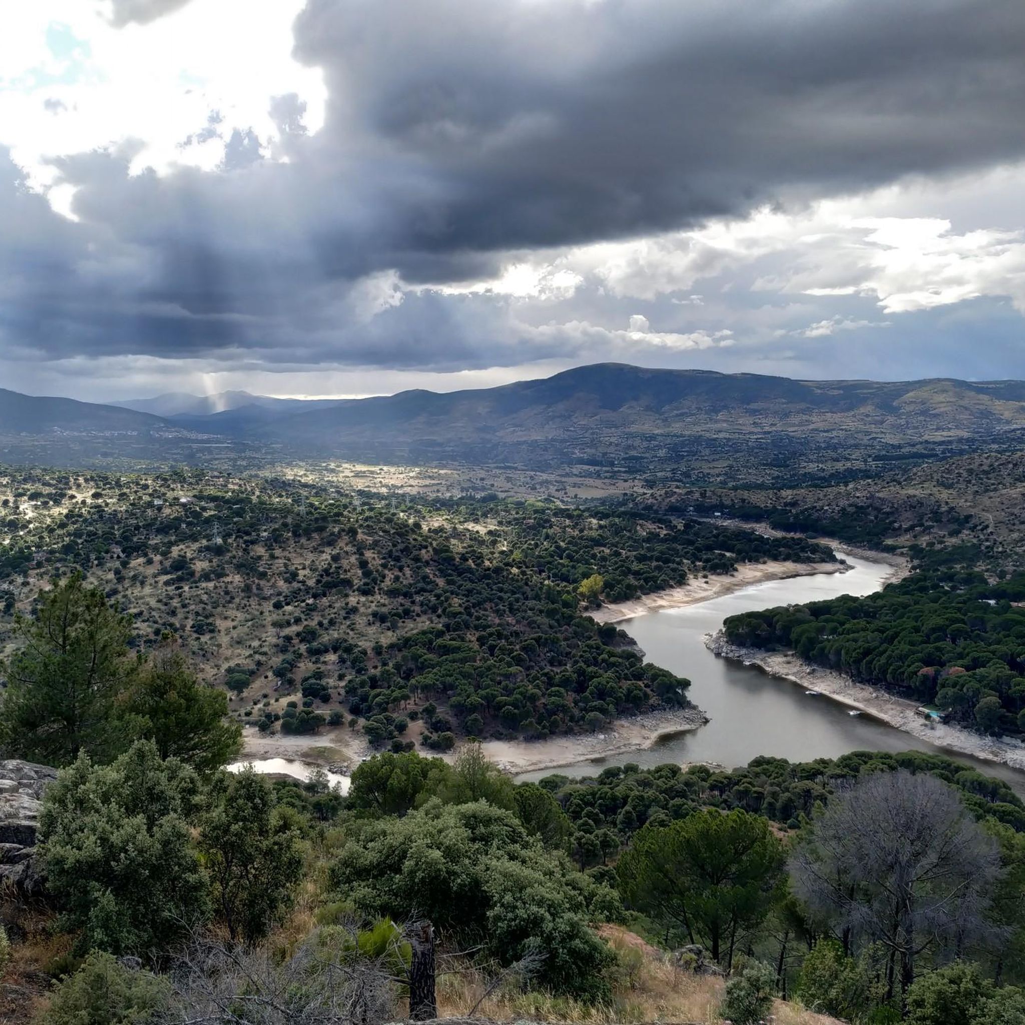
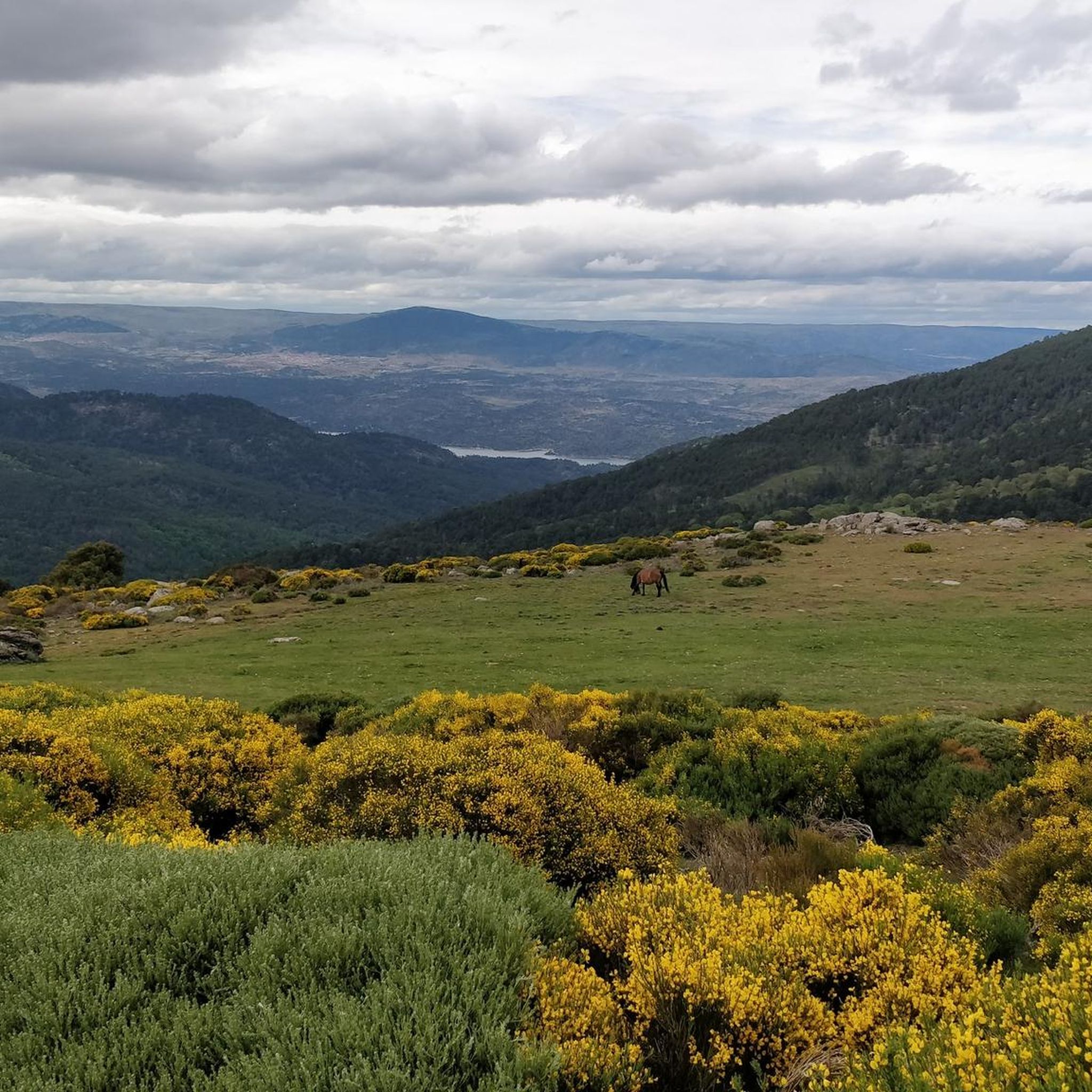
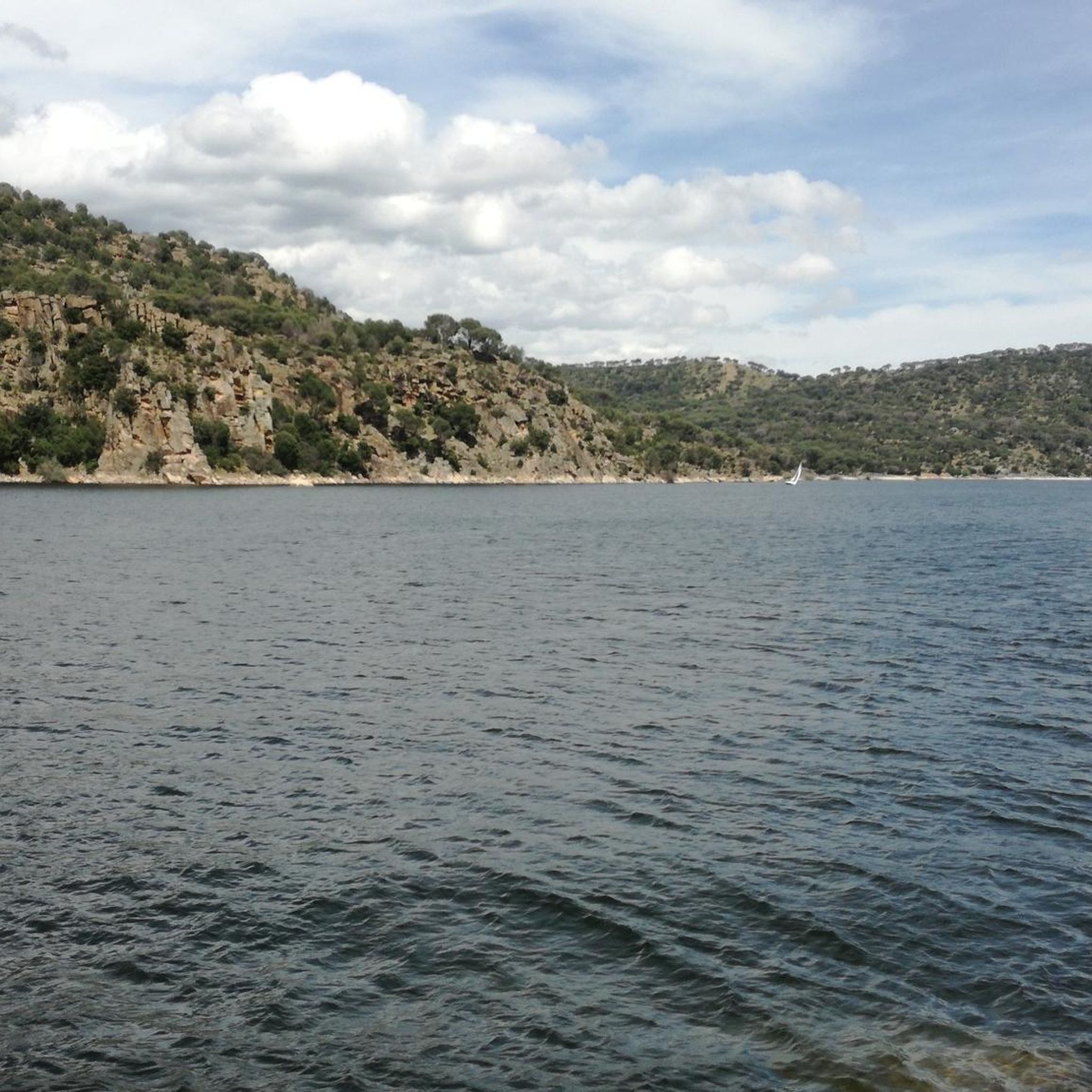
Jogging around Navahondilla offers diverse terrain for runners, characterized by its mountainous landscape and varied elevations. The region features dense forests, particularly rich in oaks and chestnut trees, alongside bucolic meadows and valleys. Trails often provide views of the Iruelas Valley and the Burguillo reservoir, with some routes following the Garganta de la Yedra. Its location in the Sierra de Gredos foothills provides a mix of challenging ascents and more relaxed paths.
Best jogging routes around Navahondilla
- The most popular…
Last updated: June 27, 2026
Hard run. Very good fitness required. Sure-footedness, sturdy shoes and alpine experience required.
27
runners
22.3km
03:53
1,110m
1,100m
Hard run. Very good fitness required. Sure-footedness, sturdy shoes and alpine experience required.

Sign up for free
11
runners
Hard run. Very good fitness required. Sure-footedness, sturdy shoes and alpine experience required.
5
runners
9.90km
01:07
120m
120m
Moderate run. Good fitness required. Mostly paved surfaces. Suitable for all skill levels.
4
runners
5.13km
00:37
70m
70m
Moderate run. Good fitness required. Mostly paved surfaces. Suitable for all skill levels.
Get access to more routes and recommendations from other explorers.
Sign up for free
Already have an account?
Our route recommendations are based on thousands of hikes, rides, and runs completed by other people on komoot.
Start today with a free account
Your next adventure awaits.
Login or Signup

Tips from the Community

phenomenal
0
1

A nice climb from the El Burguillo reservoir. The first part is asphalt in very good condition (as of November 1, 2025), and the second part is a dirt track, also in very good condition. It's a demanding climb; the asphalt section offers some flatter sections, but the dirt track is practically a continuous gradient of around 10%.
0
1


Simple and very beautiful route for all levels on bike or foot.
0
0

Casillas is a municipality in the province of Ávila, located at an altitude of 1012 m, at the beginning of the Tiétar valley. It is surrounded by an extensive forest of chestnut and oak trees. If you want to know its resin past, I recommend visiting the ethnographic museum of Resin, which has two exhibitions, in two large resin huts.
3
0

Path that offers good views of the slopes between forests and some fields of pasture!
1
0
Old construction that represented a well where food was stored for all the inhabitants of this area of the Sierra de Gredos. The place is preserved and beautiful!
2
0
From the top of this mountain you can see impressive views of the whole area and a stop there is mandatory. The last highest mountain of the eastern end of the Sierra de Gredos.
1
0
Frequently Asked Questions
What kind of terrain can I expect on the running trails around Navahondilla?
The running trails around Navahondilla offer a diverse and engaging experience. You can expect mountainous terrain with varied elevations, dense forests rich in oaks and chestnut trees, and picturesque meadows. Many routes also provide stunning views of the Iruelas Valley and the Burguillo reservoir, with some even following the Garganta de la Yedra.
Are there any easy running routes suitable for beginners in Navahondilla?
Yes, Navahondilla offers options for various fitness levels. While many routes are moderate to difficult, there are at least 3 easy routes available. For a moderate option that's not too challenging, consider the Running loop from Santa María del Tiétar, which covers about 9.9 kilometers with a manageable elevation gain.
Which running routes offer the best panoramic views in Navahondilla?
For breathtaking panoramic views, routes that ascend to Alto del Mirlo are highly recommended. The Ascent to Alto del Mirlo through the Castañar del Tiemblo offers spectacular vistas of the Iruelas Valley and the Burguillo reservoir. Another excellent choice is the Alto del Mirlo (Pico Casillas) loop from Casillas, known for its extensive views from elevated points across the mountainous landscape.
Can I find running trails that go through dense forests in Navahondilla?
Absolutely! Navahondilla is known for its dense forests, particularly rich in oaks and ancient chestnut trees. The Ascent to Alto del Mirlo through the Castañar del Tiemblo route, for instance, takes you directly through the ancient chestnut forest, offering a unique and serene running experience. The El Castañar de El Tiemblo area is a highlight for forest runs.
Are there many circular running routes available in the Navahondilla area?
Yes, many of the running routes around Navahondilla are circular, allowing you to start and end at the same point without retracing your steps. A popular example is the Ascent to Alto del Mirlo through the Castañar del Tiemblo — circular route through the Pozo de la Nieve, which is a fantastic loop for exploring the region's natural beauty.
What natural attractions or landmarks can I see along the running routes?
Navahondilla's routes are rich with natural attractions. You can encounter the impressive El Abuelo Chestnut Tree in El Castañar de El Tiemblo, or enjoy views of the El Burguillo Reservoir. The Puerto de Casillas serves as an entrance to the Valle de Iruelas Nature Reserve, offering stunning landscapes. You might also spot the historic Toros de Guisando on longer routes.
Is Navahondilla a good place for family-friendly jogging or running with children?
Navahondilla offers a variety of trails, and while many are moderate to difficult, there are easier sections and shorter loops that can be suitable for families. The region's lush meadows and shaded forest paths provide a pleasant environment. Look for routes with less elevation gain and shorter distances if running with children.
What kind of wildlife might I encounter while running in Navahondilla?
The diverse ecosystems around Navahondilla are home to abundant wildlife. While running through the forests and meadows, you might spot rabbits, partridges, foxes, and wild boars. The area is also known for deer and various birds of prey, adding to the natural experience of your run.
Are there any less crowded running trails in Navahondilla?
While popular spots like El Castañar de El Tiemblo can attract visitors, Navahondilla's extensive network of trails means you can often find quieter paths. Exploring some of the moderate routes further from the main attractions, or running during off-peak hours, can lead to a more serene experience. The Dehesa Comunal, just outside the urban center, offers splendid views and serene meadows, potentially providing a less crowded option.
What do other runners enjoy most about jogging in Navahondilla?
The komoot community highly values the diverse terrain and stunning natural beauty of Navahondilla. Runners frequently praise the challenging ascents, the tranquility of the dense forests, and the rewarding panoramic views, especially from points like Alto del Mirlo. The variety of routes, from moderate to difficult, is also a key highlight.
Are there running routes that pass by water bodies or gorges?
Yes, the region boasts spectacular views of the Burguillo reservoir, and some trails run alongside the Garganta de la Yedra, a picturesque gorge. You can experience this on routes that traverse the Iruelas Valley, where the natural landscape is shaped by these water features.
Where can I find parking near the running trails in Navahondilla?
Navahondilla is generally accessible, and parking is often available near trailheads, especially in areas like El Castañar de El Tiemblo or the Dehesa Comunal. For routes entering the Valle de Iruelas Nature Reserve, look for designated parking areas near entrances such as Puerto de Casillas. It's advisable to check specific route details for the most convenient parking spots.
Most popular routes around Navahondilla
Most popular attractions around Navahondilla

Get inspired with the komoot mobile app


Explore more
Browse the best Running Trails & Routes in other regions.
