The best road cycling routes around Villanueva Del Trabuco
4.7
(7)
1,243
riders
56
rides
Road cycling routes around Villanueva Del Trabuco navigate a diverse landscape characterized by mountainous terrain, river valleys, and extensive olive groves. The region is set against the backdrop of the Sierra de San Jorge and Sierra Gorda, offering varied elevation profiles suitable for different fitness levels. Cyclists can expect mostly paved surfaces, with routes often following the Upper Guadalhorce River Valley or passing through areas with natural springs and viewpoints. This environment provides a blend of challenging climbs and scenic…
Last updated: July 4, 2026
27
riders
70.3km
03:43
1,170m
1,170m
Hard road ride. Very good fitness required. Some segments of this route may be unpaved and difficult to ride.
5.0
(1)
25
riders
62.3km
03:00
880m
880m
Moderate road ride. Good fitness required. Some segments of this route may be unpaved and difficult to ride.

Sign up for free
12
riders
Hard road ride. Very good fitness required. Some segments of this route may be unpaved and difficult to ride.
10
riders
109km
06:01
2,110m
2,110m
Hard road ride. Very good fitness required. Some segments of this route may be unpaved and difficult to ride.
8
riders
Moderate road ride. Good fitness required. Some segments of this route may be unpaved and difficult to ride.
Get access to more routes and recommendations from other explorers.
Sign up for free
Already have an account?
Our route recommendations are based on thousands of hikes, rides, and runs completed by other people on komoot.
Start today with a free account
Your next adventure awaits.
Login or Signup
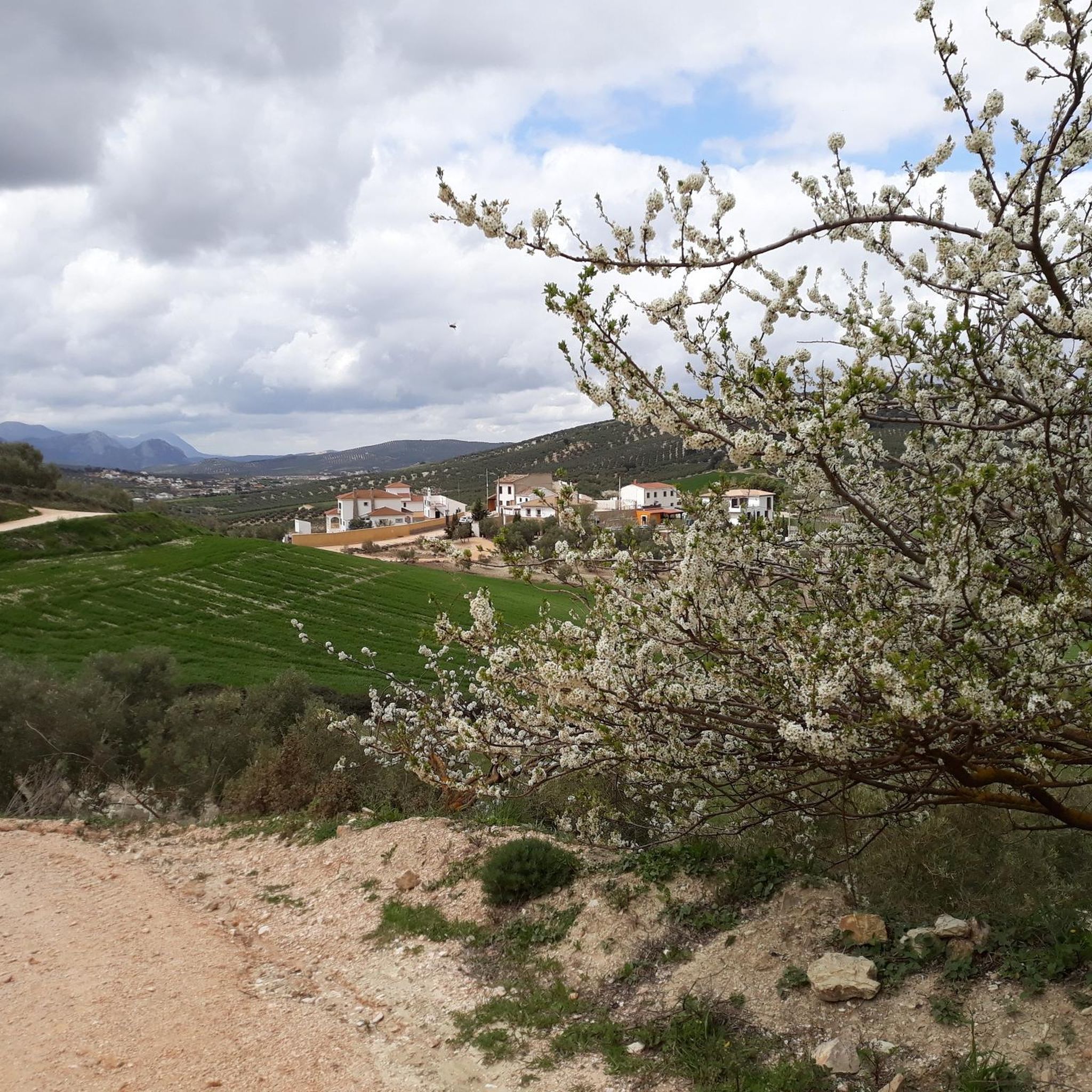
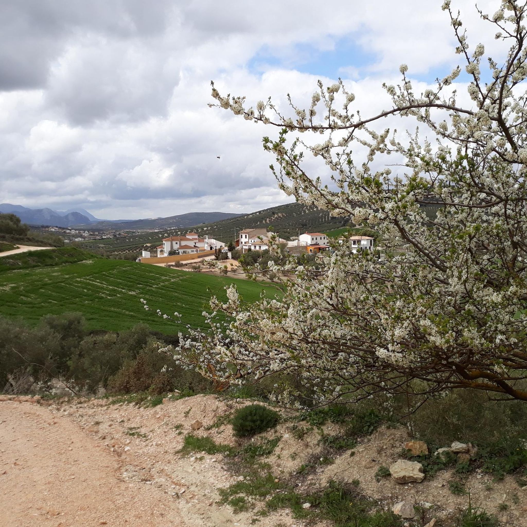
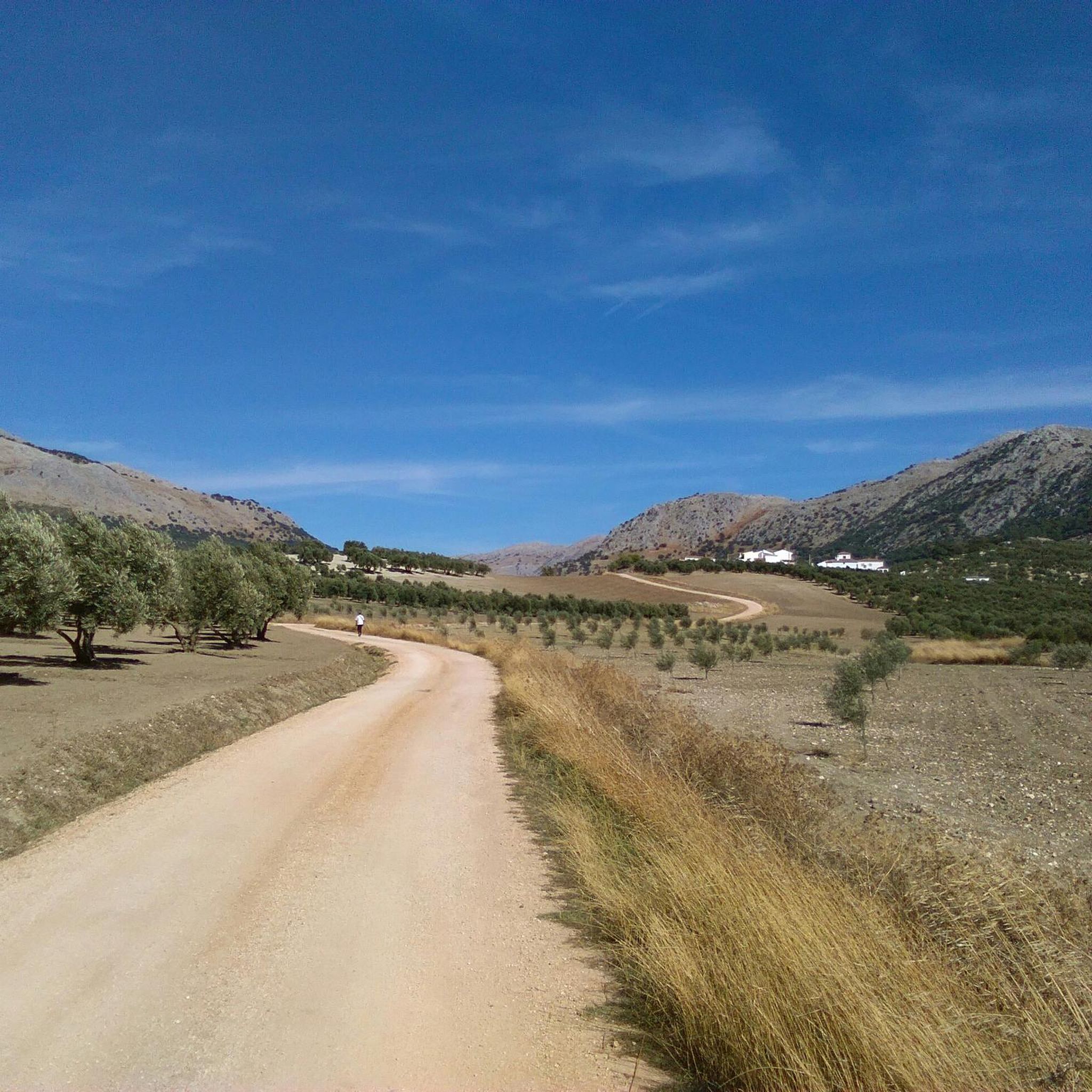
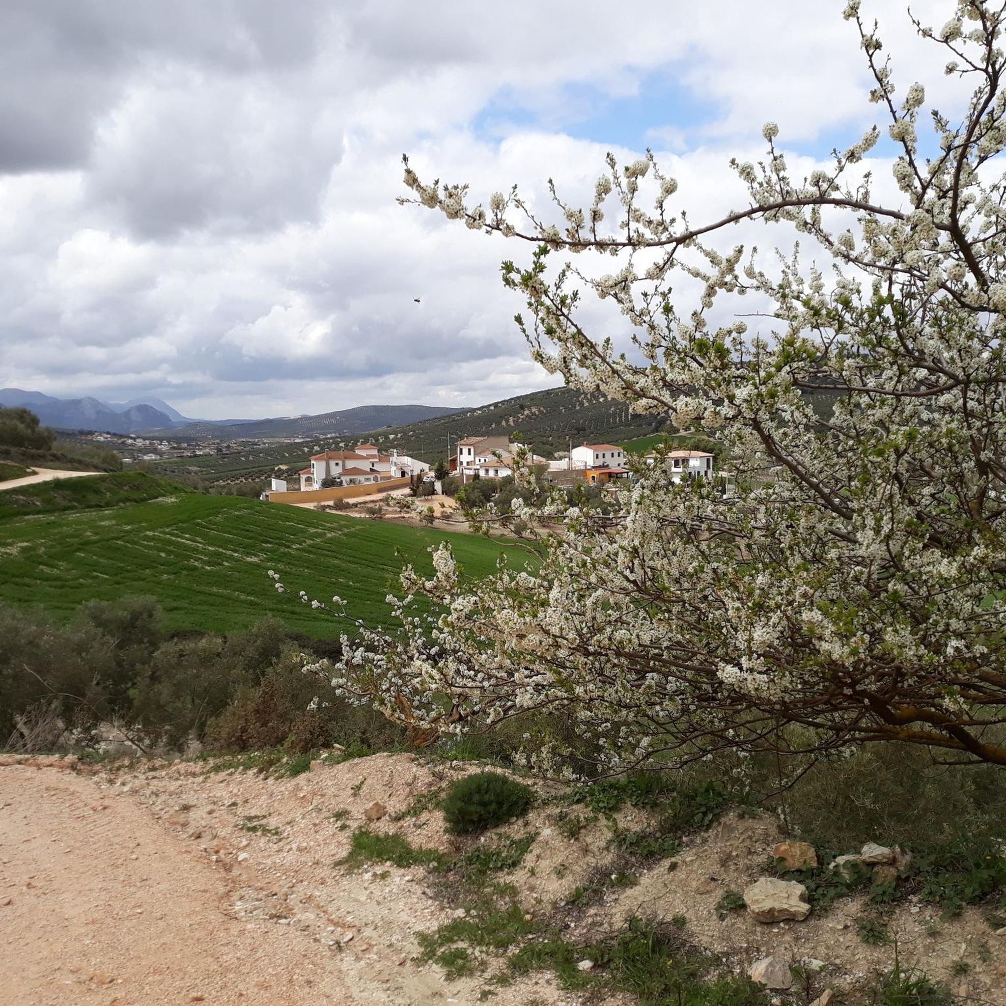

Tips from the Community

I was there mid november and the fountain was empty...
0
1

A colorful route with many beautiful areas. The 101 channels are truly breathtaking with so much water. The Rosario River is full of beauty with those spectacular waterfalls.
1
1

It's worth it... best from east to west!
0
0

The Fuente de los Cien Caños is an impressive natural monument located in Villanueva del Trabuco, on the limestone slope of the Sierra de San Jorge. The fountain is known for being the source of the Guadalhorce River, the longest and most voluminous river in the province of Malaga.
5
0

Mirador El Boquete is a beautiful viewpoint in Zafarraya, on the border between the provinces of Málaga and Granada. This viewpoint offers breathtaking panoramic views over the northern part of the Axarquía region of Málaga and the western part of the Sierra de Almijara and Tejeda Natural Parks. The viewpoint is located near the village of Ventas de Zafarraya, which was the last railway station to be built in 1922 and closed in 1960.
7
0
The Zafarraya polje is a closed depression with a flat bottom, surrounded by limestone mountains that are strongly karstified. The waters of the polje are absorbed by several ponors (sinkholes), and during heavy rainfall the polje can be temporarily flooded. This makes it an interesting example of karst landscape and geological processes.
8
3

through kilometres of olive orchards and beautiful views steadily climbing towards Malaga
0
0

Frequently Asked Questions
What kind of terrain can I expect on road cycling routes around Villanueva del Trabuco?
The region offers a diverse mix of terrain, from tranquil stretches through olive groves and wheat fields to challenging ascents in the surrounding mountain ranges like Sierra de San Jorge, Sierra Gorda, and Sierra del Jobo. You'll find mostly paved surfaces, with routes often following river valleys and featuring significant elevation changes.
Are there road cycling routes suitable for beginners in Villanueva del Trabuco?
Yes, while many routes offer significant challenges, there are options for beginners. The area features 1 easy route and 23 moderate routes, providing a good starting point for those new to road cycling or looking for a less strenuous ride. These routes often traverse the scenic Andalusian countryside with gentler gradients.
What natural features or landmarks can I see along the road cycling routes?
Many routes pass by impressive natural features. A notable highlight is the Hundred‑Spout Fountain (Fuente de los Cien Caños), the source of the Guadalhorce River. You might also encounter the unique Zafarraya Plain, a fascinating geological depression. Mountain passes like Puerto de Sábar and Puerto del Sol offer stunning views.
Are there any challenging road cycling routes for experienced riders?
Absolutely. Villanueva del Trabuco is known for its challenging routes, with 37 difficult options available. Routes like Puerto de Sábar – Queen's Fountain loop from Villanueva del Trabuco, spanning 86.1 miles (138.7 km) with over 2800 meters of elevation gain, provide substantial climbing and panoramic views for very fit cyclists. The Port of Los Alazores, with its 16km climb at a 4% average gradient, is another example of the demanding terrain.
What is the best time of year for road cycling in Villanueva del Trabuco?
The region generally offers good cycling conditions for much of the year. Spring and autumn provide pleasant temperatures, ideal for longer rides. Even winter can be suitable, with milder temperatures compared to many other European regions, though it's always advisable to check local weather forecasts for specific conditions.
Are there any loop routes available for road cyclists?
Yes, many of the road cycling routes in Villanueva del Trabuco are designed as loops, allowing you to start and finish in the same location. Examples include the El Boquete Viewpoint – Upper Guadalhorce River Valley loop from Villanueva del Trabuco and the Drinking Water Fountain – Mirador de Sylvania loop from Alfarnatejo.
What do other road cyclists say about the routes in Villanueva del Trabuco?
The road cycling routes in Villanueva del Trabuco are highly rated by the komoot community, with an average score of 4.7 stars from over 7 reviews. Cyclists often praise the diverse landscapes, from mountainous challenges to serene olive groves, and the well-maintained paved surfaces that make for an enjoyable ride.
Are there any routes that offer panoramic viewpoints?
Yes, the mountainous surroundings of Villanueva del Trabuco provide several excellent viewpoints. Routes often incorporate or pass near spots like the Alto de Hondonero viewpoint and Mirador de los Villares, offering stunning panoramic vistas of the village and the dramatic mountain ranges. The El Boquete Viewpoint loop is specifically named for one such scenic spot.
Can I find routes that follow river valleys?
Many routes in the area utilize the natural contours of river valleys. You can find routes that follow the Upper Guadalhorce River Valley, offering a different kind of scenic experience compared to the mountain climbs. The Sierra de Gibalto also features a scenic drive that follows the Guadalhorce River.
Are there any specific mountain passes that road cyclists can tackle?
Yes, the region is home to several mountain passes that attract road cyclists seeking a challenge. Notable passes include Puerto de Sábar (590 meters above sea level) and Puerto del Sol. These passes are often part of longer, more demanding routes.
What is the total number of road cycling routes available in the area?
There are over 60 road cycling routes available around Villanueva del Trabuco, offering a wide variety of distances, elevations, and difficulty levels to suit different preferences and fitness levels.
Are there any routes that pass through historical or cultural sites?
While the primary focus is on natural landscapes, some routes may incorporate elements of historical paths, such as sections of the Mozarabic Way of St. James. Additionally, routes like the Plaza Ochavada of Archidona – Archidona loop from Villanueva del Trabuco will take you through charming towns with their own unique character and architecture.
Most popular routes around Villanueva Del Trabuco
Most popular attractions around Villanueva Del Trabuco

Get inspired with the komoot mobile app


Explore more
Browse the best Road cycling routes in other regions.
