The best road cycling routes around Plan
4.7
(12)
1,133
riders
32
rides
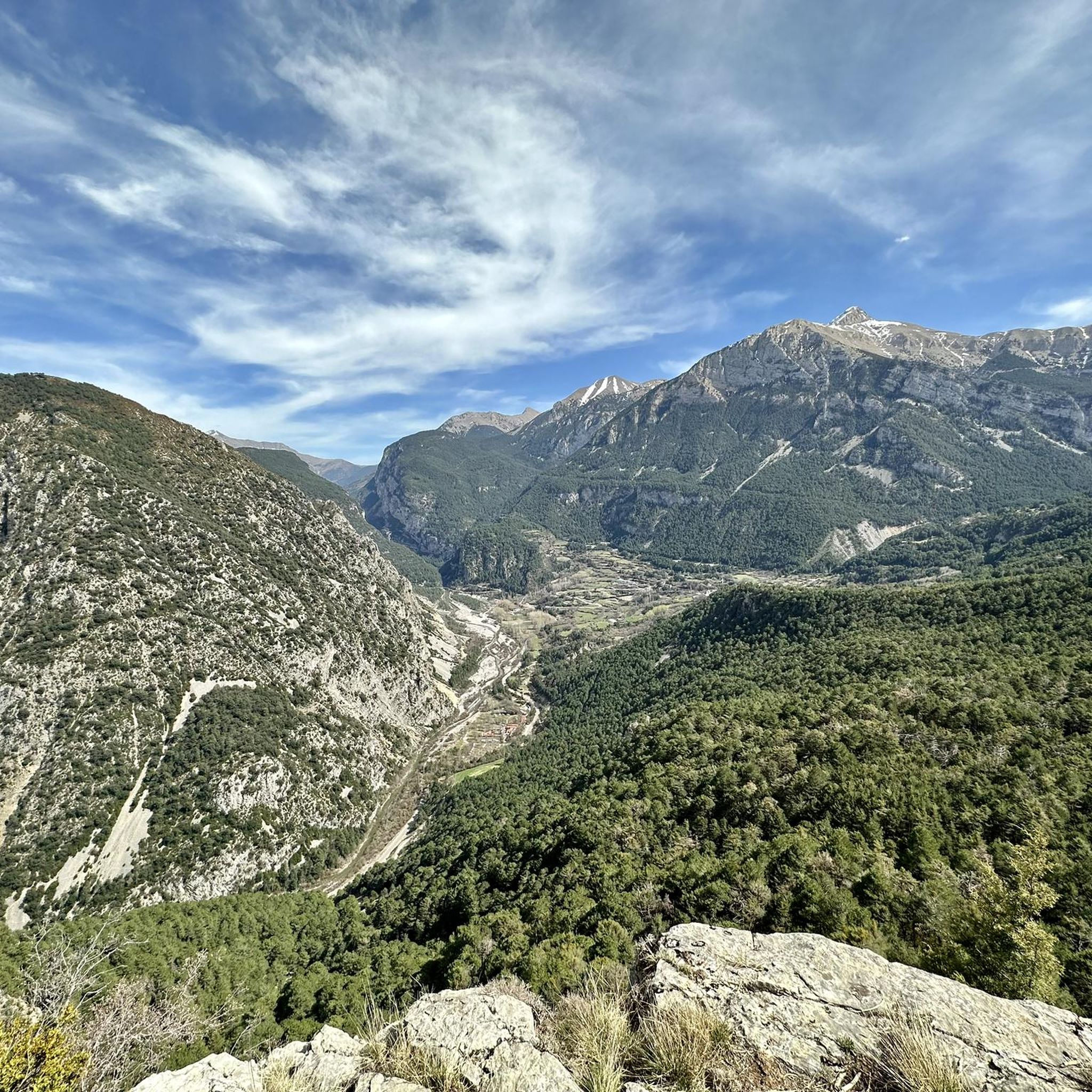
Road cycling routes around Plan traverse mountainous terrain characterized by deep valleys, river systems, and challenging climbs. The region features varied landscapes, including forested areas and open mountain passes, offering diverse conditions for cyclists. Elevation changes are a common feature across many routes, providing a range of experiences from moderate ascents to difficult climbs.
Best road cycling routes around Plan
- The most popular road cycling route is Pineta Valley from Bielsa, a 27.0 miles (43.5 km) trail that takes…
Last updated: May 23, 2026
4.0
(2)
92
riders
43.5km
02:14
740m
740m
Cycle 27.0 miles through the Pineta Valley in Ordesa and Monte Perdido National Park, featuring forests, mountain views, and Embalse de Pine
14
riders
34.2km
02:05
910m
910m
Hard road ride. Very good fitness required. Mostly well-paved surfaces and easy to ride.

Sign up for free
5.0
(2)
62
riders
77.0km
04:19
1,690m
1,690m
Hard road ride. Very good fitness required. Mostly well-paved surfaces and easy to ride.
5.0
(1)
60
riders
82.5km
04:07
1,250m
1,250m
Hard road ride. Very good fitness required. Mostly well-paved surfaces and easy to ride.
5.0
(1)
52
riders
61.2km
02:47
650m
650m
Moderate road ride. Good fitness required. Mostly well-paved surfaces and easy to ride.
Get access to more routes and recommendations from other explorers.
Sign up for free
Already have an account?
Our route recommendations are based on thousands of hikes, rides, and runs completed by other people on komoot.
Start today with a free account
Your next adventure awaits.
Login or Signup


Other adventures around Plan

Tips from the Community

A very enjoyable climb. No steep inclines, a narrow but well-maintained road. The finish at the foot of Peña Montañesa has its charm.
0
0
A place with privileged views and an important "crossroads" for road and mountain biking routes
0
0

An unparalleled setting with a one-way road. Don't miss it in autumn. The return journey must be made via the Alto de Vió or the Alto de Fanlo, so you must be prepared for the steep slopes. Avoid it after rain, as landslides are common. Road closures are also common for road maintenance.
0
0
An ideal place to relax with excellent views, buildings that will surprise you, and a fountain to refresh yourself.
0
0

A journey through the diverse Aragonese landscape
0
0

amazing bathing place
0
0


The Aínsa bridge that connects the two parts of the city and that are crossed by the Cinca river, is a space from where you can see Peña Montañesa to the west, and a little further to the east, the summit from Tuca Both are part of the Ferrera mountain range.
0
0
Frequently Asked Questions
How many road cycling routes are available around Plan?
There are over 30 road cycling routes available around Plan, catering to various skill levels. You'll find a mix of easy, moderate, and difficult options to explore the region's diverse landscapes.
What kind of terrain can I expect on road cycling routes around Plan?
Road cycling routes around Plan primarily traverse mountainous terrain, characterized by deep valleys, river systems, and challenging climbs. You can expect varied landscapes, including forested areas and open mountain passes, offering diverse conditions and significant elevation changes.
Are there road cycling routes suitable for beginners in Plan?
Yes, Plan offers a few easy road cycling routes, perfect for beginners or those looking for a more relaxed ride. These routes typically feature less intense climbs and more gradual elevation changes, allowing you to enjoy the scenery at a comfortable pace.
What are some challenging road cycling routes for experienced riders in Plan?
For experienced riders seeking a challenge, Plan has several difficult routes. A notable one is Tella y Revilla from Escalona, which features significant climbs and panoramic mountain views. Another demanding option is Valle de Gistaín through the Cinqueta river to Gistaín and Plan, leading through river valleys and villages with substantial elevation gain.
Can I find circular road cycling routes in Plan?
Yes, there are circular road cycling routes available in Plan. For example, the Castejón de Sos – Historic Center of Benasque loop from Castejón de Sos offers a scenic circular tour through the region.
What natural attractions can I see while road cycling in Plan?
The routes around Plan offer access to stunning natural attractions. You might encounter highlights such as the serene Ibón of Plan (Basa de la Mora), the impressive Collado de Sahún mountain pass, or the picturesque Bellos River Pools. The region is also known for its gorges and valleys, like the Chistau Valley.
Are there any waterfalls accessible from the road cycling routes?
Yes, you can find waterfalls in the vicinity of Plan's road cycling routes. The beautiful Espigantosa Waterfall is one such natural monument that can be a rewarding sight during your cycling adventures.
What is the best time of year for road cycling in Plan?
Given Plan's mountainous terrain, the best time for road cycling is typically during the warmer months, from late spring to early autumn. This period generally offers more stable weather conditions, less chance of snow at higher elevations, and comfortable temperatures for long rides. Always check local weather forecasts before heading out.
What do other cyclists say about road cycling in Plan?
The road cycling routes in Plan are highly rated by the komoot community, with an average score of 4.7 stars from over 10 reviews. Cyclists often praise the varied terrain, the challenging climbs, and the stunning mountain and valley views that make for a rewarding experience.
Where can I find parking for road cycling routes in Plan?
Parking availability varies by trailhead. Many villages and starting points for routes, such as Bielsa or Escalona, typically offer public parking options. It's advisable to check specific route details on komoot for recommended parking areas near your chosen starting point.
Are there any family-friendly road cycling options in Plan?
While many routes in Plan feature significant elevation changes, some of the easier sections or valley rides can be suitable for families with older children or those comfortable with moderate distances. Look for routes categorized as 'easy' on komoot for the most family-friendly options.
Most popular attractions around Plan

Get inspired with the komoot mobile app


Explore more
Browse the best Road cycling routes in other regions.
