The best walks and hikes around Lasarte-Oria
4.5
(348)
3,661
hikers
21
hikes
Hiking around Lasarte-Oria offers diverse landscapes, from the Oria valley to mountainous terrain. The region is characterized by features like Monte Buruntza, which is forested to its summit, and the scenic Oria River. A well-established trail network provides various routes suitable for different fitness levels, exploring forests and hills.
Best hiking trails in Lasarte-Oria
- The most popular hiking route is Monte Buruntza Circular Trail, a 9.4 miles (15.2 km) trail that takes 4 hours 48 minutes to complete. This moderate route features an elevation gain of over 560 meters.
- Another top favourite among local hikers is Free Climbing loop from Lasarte-Oria, a moderate 6.6 miles (10.7 km) path. This route explores varied terrain with an elevation gain of over 180 meters.
- Local hikers also love the Buruntza (441 m) – Buruntza Cross loop from Lasarte-Oria, a 7.8 miles (12.5 km) trail leading through the Monte Buruntza area, often completed in about 3 hours 59 minutes.
- Hiking around Lasarte-Oria is defined by forested hills, the Oria valley, and routes around Monte Buruntza. The network offers options for easy paths, moderate climbs, and challenging trails.
- The routes in Lasarte-Oria are highly rated by the komoot community with an average score of 4.4 stars from over 300 reviews. More than 3000 hikers have used komoot to explore Lasarte-Oria's varied terrain.
Last updated: July 7, 2026
4.0
(1)
3
hikers
15.2km
04:49
570m
570m
Moderate hike. Good fitness required. Mostly accessible paths. Sure-footedness required.
4.7
(7)
29
hikers
10.7km
02:57
180m
180m
Moderate hike. Good fitness required. Easily-accessible paths. Suitable for all skill levels.

Sign up for free
5.0
(6)
43
hikers
12.5km
03:59
450m
450m
Moderate hike. Good fitness required. Mostly accessible paths. Sure-footedness required.
5.0
(1)
8
hikers
8.05km
02:04
40m
40m
Moderate hike. Good fitness required. Easily-accessible paths. Suitable for all skill levels.
12
hikers
16.3km
05:16
590m
590m
Hard hike. Very good fitness required. Mostly accessible paths. Sure-footedness required.
Get access to more routes and recommendations from other explorers.
Sign up for free
Already have an account?
Our route recommendations are based on thousands of hikes, rides, and runs completed by other people on komoot.
Start today with a free account
Your next adventure awaits.
Login or Signup

Tips from the Community

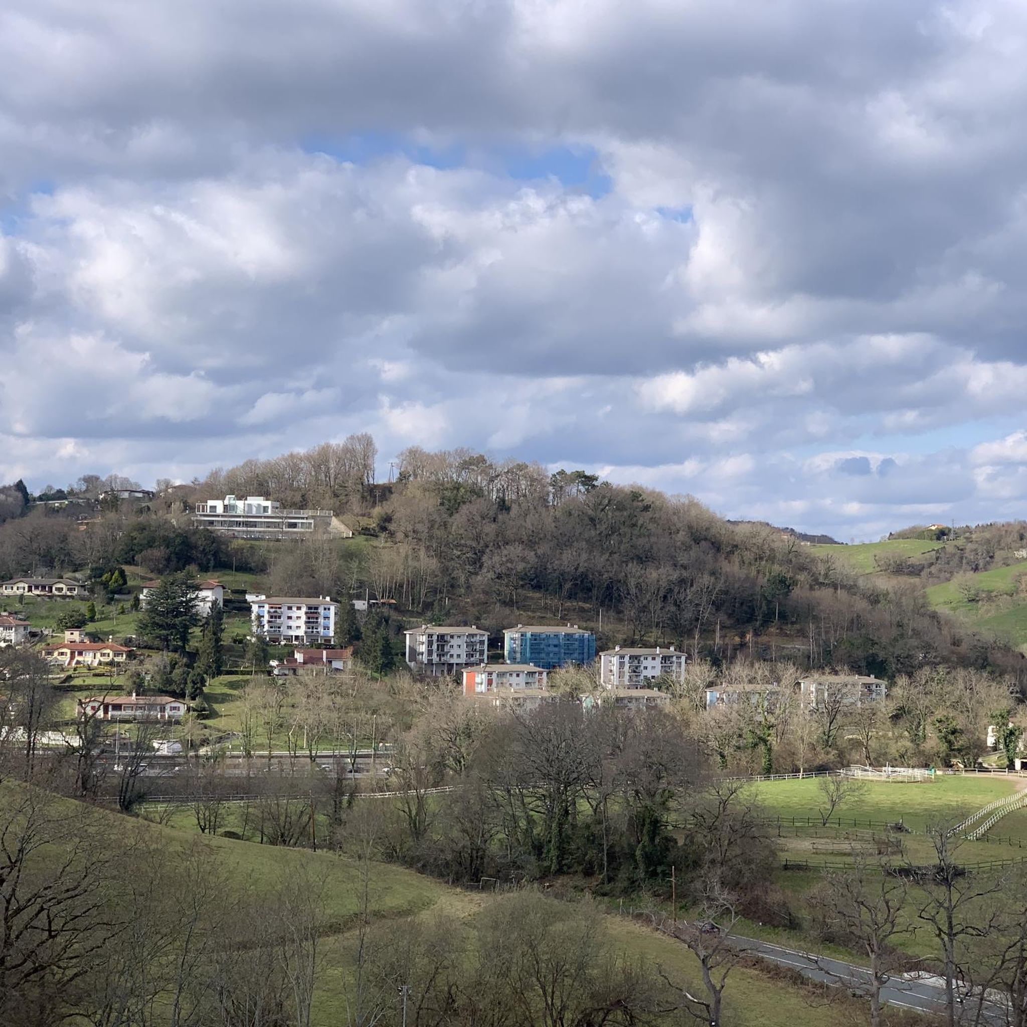
Although Zubieta is, apparently, a town, it is actually a neighborhood of San Sebastián and Usurbil. With about 400 inhabitants, it is located just 10 kilometers from the capital of Gipuzkoa and is crossed by the Oria River.
1
0

562m high mountain. It is full of forest to the top and there is a bike ride up to the top. Nice place especially in summer.
0
0

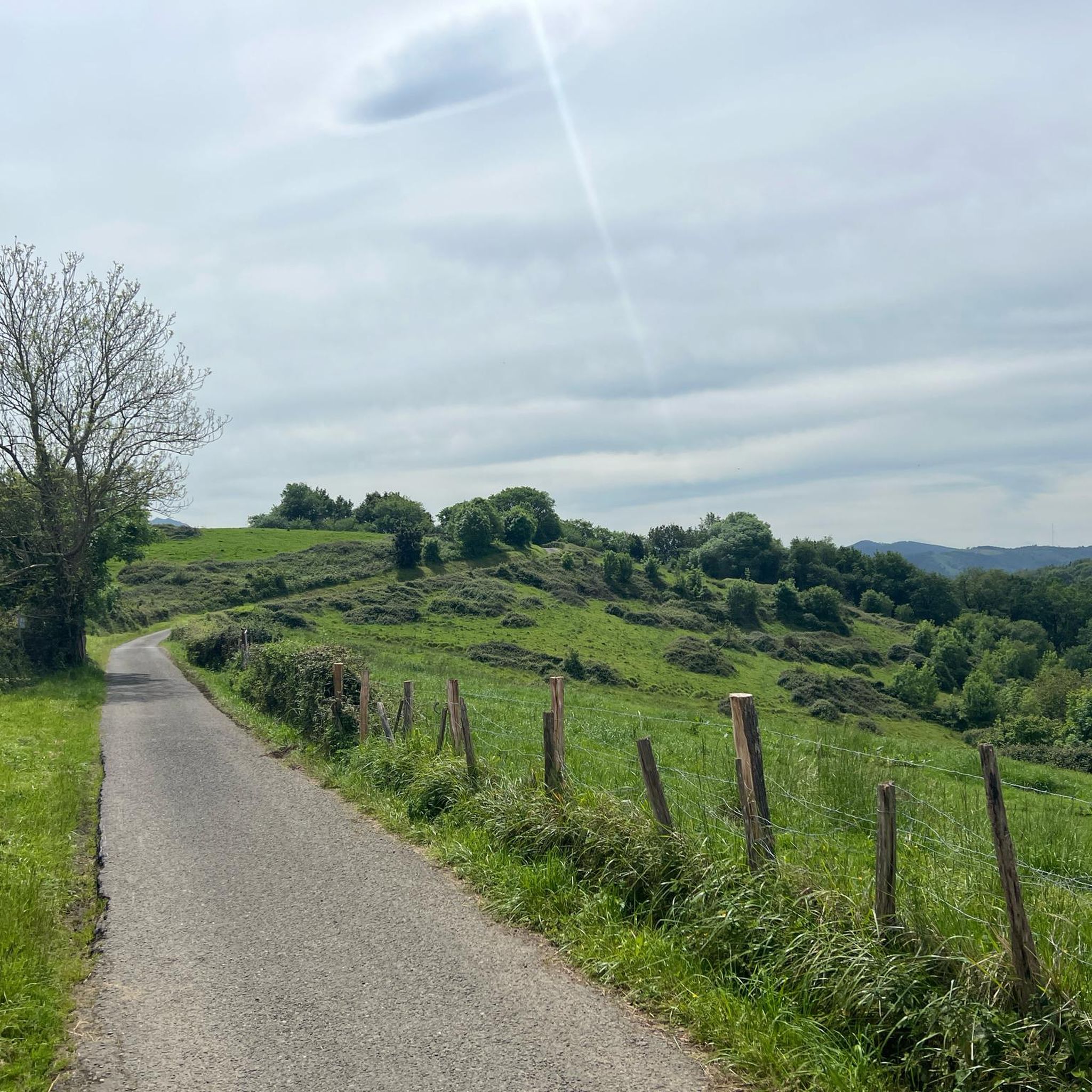
When you arrive from this small road, you can see Mount Agerreburu in the background, where climbers can usually be seen practicing this sport on its walls.
0
0

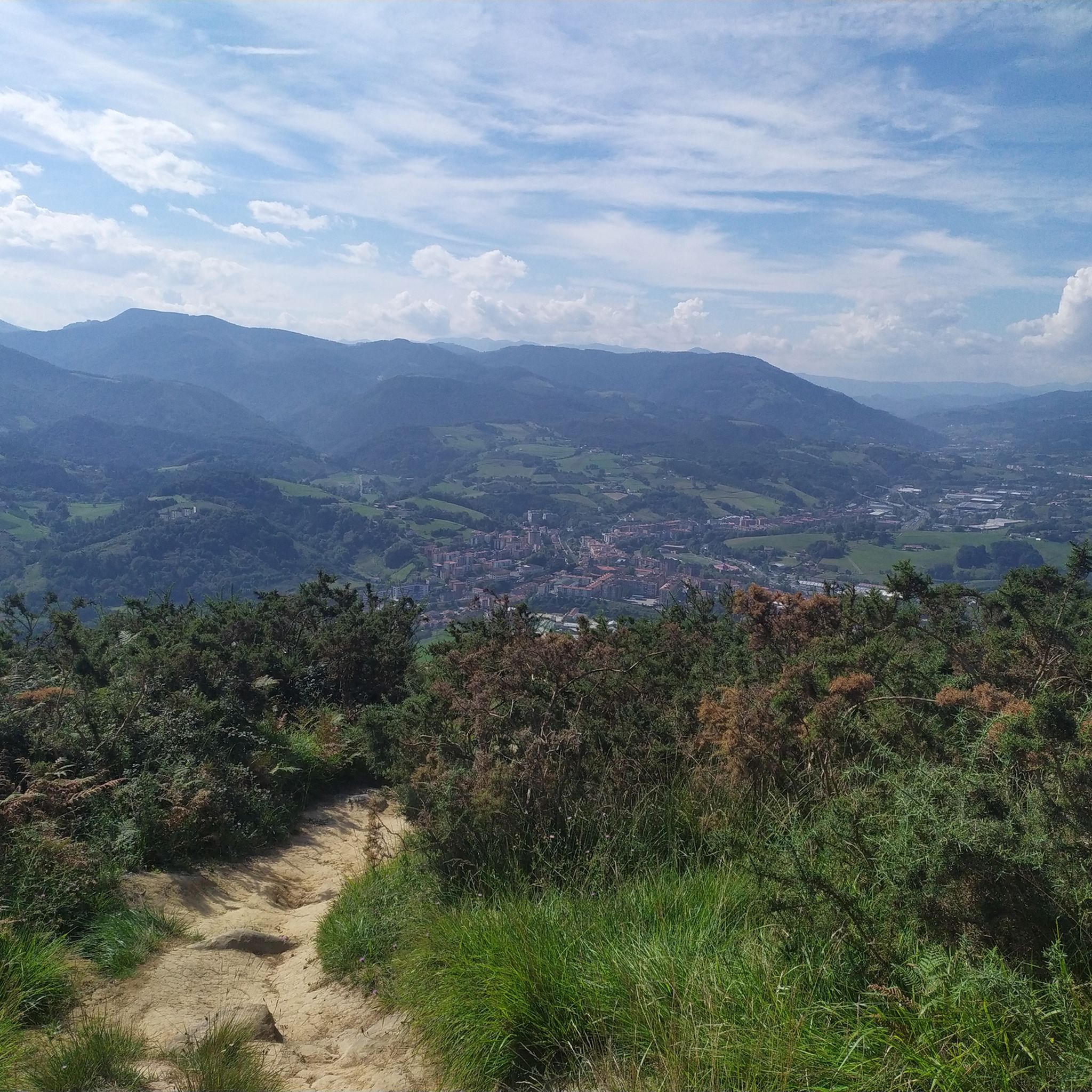
The local mountain of Hernani. From here you have a wonderful view over the area and the city.
0
0

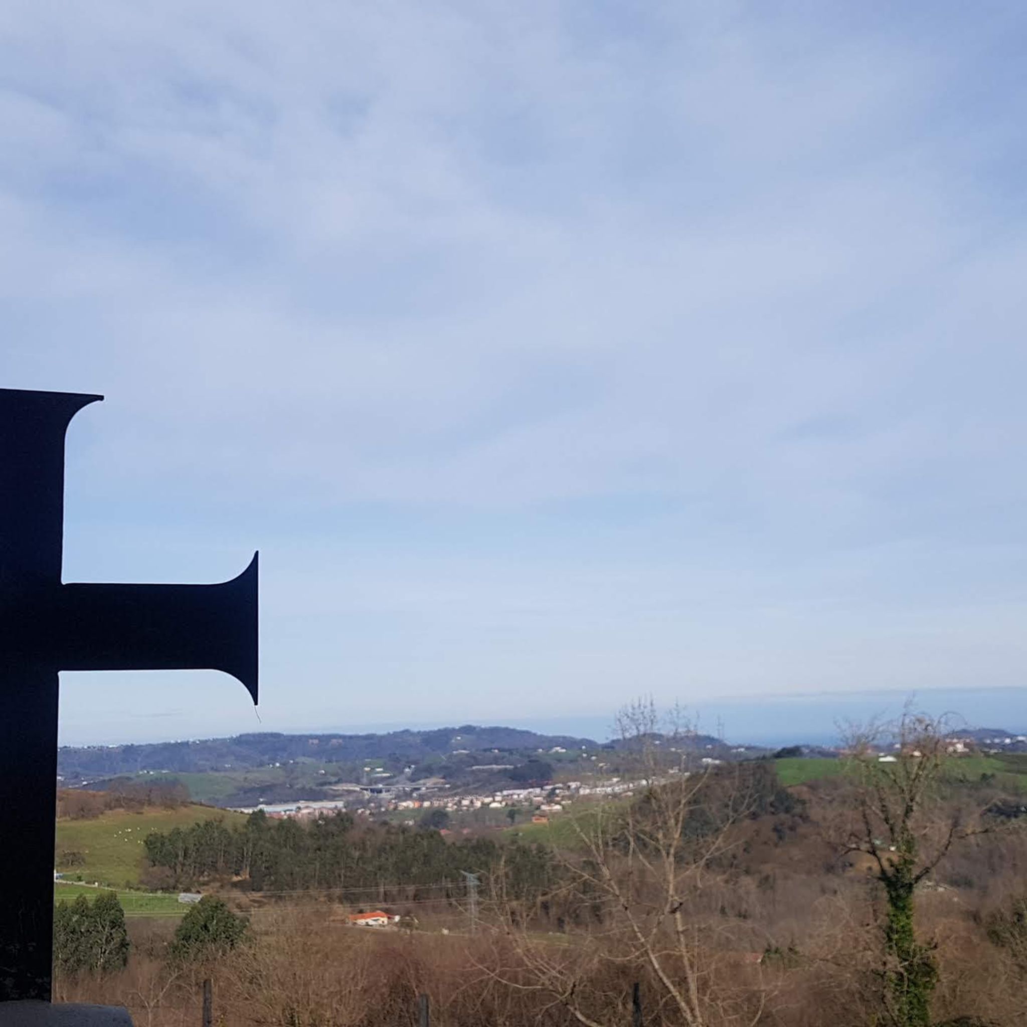
Cruz de Buruntza, from which you can see the towns of Lasarte, Urnieta and Andoain In addition, you can see the peaks of: Andatza, Adarra, Jaizkibel, Igeldo, Peñas de Aia, Ernio and Erniozabal among others
0
0
Frequently Asked Questions
How many hiking trails are available in Lasarte-Oria?
Lasarte-Oria offers a comprehensive network of over 25 hiking routes. These trails cater to various preferences, including 9 easy paths, 15 moderate routes, and 2 more challenging trails for experienced hikers.
Are there any easy hiking trails suitable for beginners or families?
Yes, Lasarte-Oria has 9 easy hiking trails. One option is the Zubieta – Lasarte-Oria Bike Wash Station loop from Lasarte-Oria, which is approximately 7.8 km long with minimal elevation gain, making it suitable for a relaxed walk.
What kind of landscapes can I expect to see while hiking in Lasarte-Oria?
The region features diverse landscapes, from the scenic Oria valley traversed by the Oria River to the forested slopes of mountains like Monte Buruntza. You'll encounter a mix of woodlands, river views, and elevated points offering panoramic vistas of the surrounding area.
Are there any circular hiking routes in Lasarte-Oria?
Yes, many of the trails in Lasarte-Oria are circular, allowing you to start and end at the same point. A popular moderate circular route is the Buruntza (441 m) – Buruntza Cross loop from Lasarte-Oria, which covers about 12.5 km and takes around 4 hours.
What do other hikers say about the trails in Lasarte-Oria?
The hiking routes in Lasarte-Oria are highly regarded by the komoot community, holding an average rating of 4.4 stars from over 300 reviews. Hikers often praise the varied terrain, the well-maintained paths, and the beautiful views, especially from elevated points like Monte Buruntza.
Are there any notable viewpoints or natural features to discover on the trails?
Absolutely. Monte Buruntza offers wonderful views of the Oria valley and surrounding areas. For broader scenic points, you can explore nearby highlights such as the View from Monte Urgull or the natural rock formation of Peña de Ataloi.
Are there any challenging hikes for experienced trekkers?
Yes, for those seeking a more strenuous adventure, there are 2 difficult trails. An example is the Andantza – Andatza Antenna loop from Lasarte-Oria, which is approximately 16.3 km long with an elevation gain of almost 600 meters, typically taking over 5 hours to complete.
Can I find trails that explore the Oria Valley?
Many routes in Lasarte-Oria offer views of or traverse parts of the Oria Valley, which is a central natural feature of the region. The valley provides a picturesque backdrop for walks, often alongside the Oria River.
Are there any specific mountains or peaks that are popular for hiking in the area?
Monte Buruntza is a central and popular mountain for hiking in Lasarte-Oria, with several trails leading to its summit and offering panoramic views. Other nearby peaks like Uzturre Summit (733 m) and Adarra Summit (849 m) also attract hikers.
What is the typical terrain like on the hiking trails in Lasarte-Oria?
The terrain varies, but you can generally expect a mix of forested paths, open hillsides, and some riverside sections. Trails often involve moderate ascents and descents, especially on routes around Monte Buruntza, which is forested all the way to its summit.
Are there any cultural or historical landmarks near the hiking routes?
While the focus is on natural beauty, some routes may pass near or offer views of cultural landmarks. For instance, the nearby Sacred Heart Statue on Mount Urgull and the Peine del Viento sculptures are notable points of interest in the broader region.
Most popular routes around Lasarte-Oria
Most popular attractions around Lasarte-Oria

Get inspired with the komoot mobile app


Explore more
Browse the best Hikes in other regions.
