The best walks and hikes around La Losa
4.6
(1613)
10,662
hikers
232
hikes
Hiking around La Losa, primarily in the Segovia province, offers diverse experiences within the Sierra de Guadarrama. This region is characterized by high-altitude trails, significant peaks like Peña del Oso, and unique mountain formations such as "La Mujer Muerta." The landscape also features green areas and historical sites connected to the Segovia Aqueduct, providing a blend of natural beauty and cultural exploration.
Best hiking trails around La Losa
- The most popular hiking route is Pinar de la Acebeda y El…
Last updated: July 4, 2026
1
hikers
Hard hike. Very good fitness required. Mostly accessible paths. Sure-footedness required.
4.5
(4)
78
hikers
9.82km
02:52
130m
130m
Moderate hike. Good fitness required. Mostly accessible paths. Sure-footedness required.

Sign up for free
4.3
(7)
29
hikers
22.2km
07:47
980m
980m
Hard hike. Very good fitness required. Mostly accessible paths. Sure-footedness required.
4.3
(4)
25
hikers
18.2km
07:19
1,020m
1,020m
Hard hike. Very good fitness required. Mostly accessible paths. Sure-footedness required.
4.3
(6)
22
hikers
Moderate hike. Good fitness required. Easily-accessible paths. Suitable for all skill levels.
Get access to more routes and recommendations from other explorers.
Sign up for free
Already have an account?
Our route recommendations are based on thousands of hikes, rides, and runs completed by other people on komoot.
Start today with a free account
Your next adventure awaits.
Login or Signup
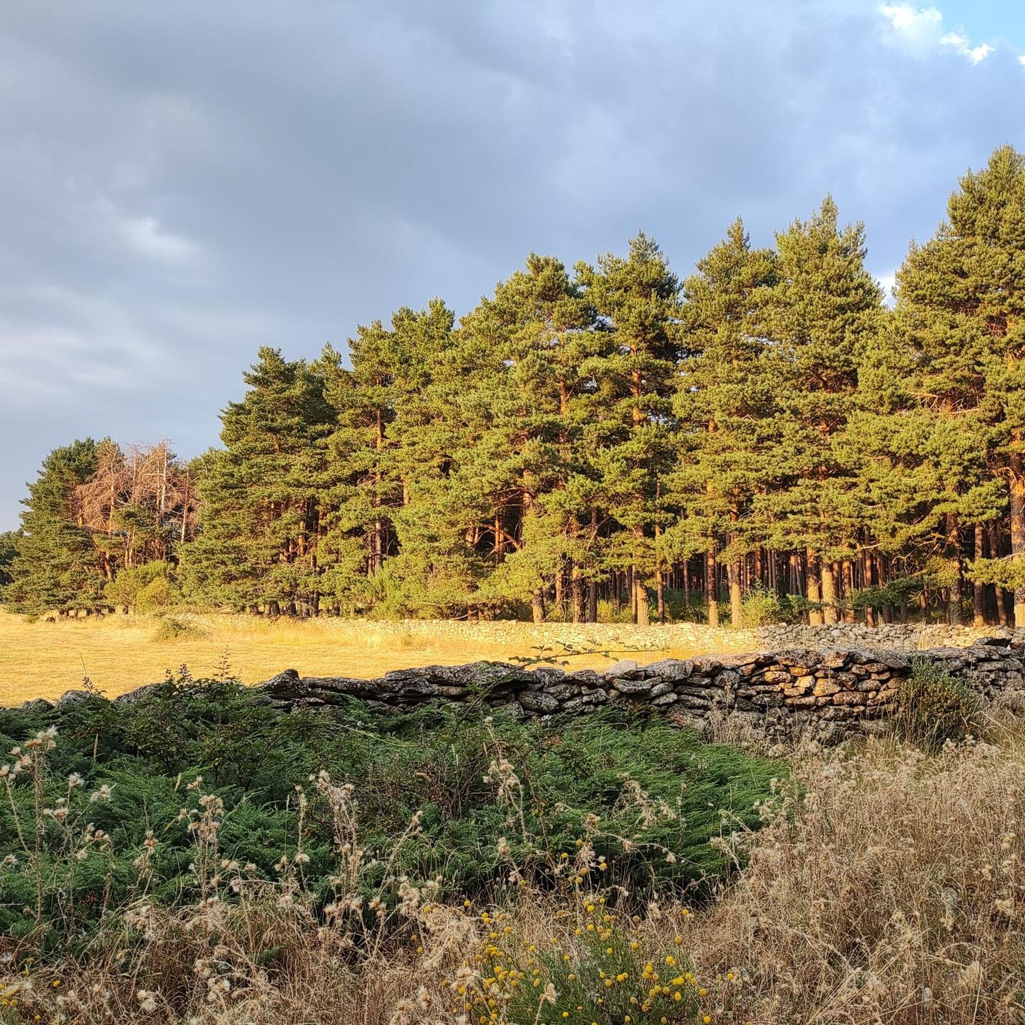
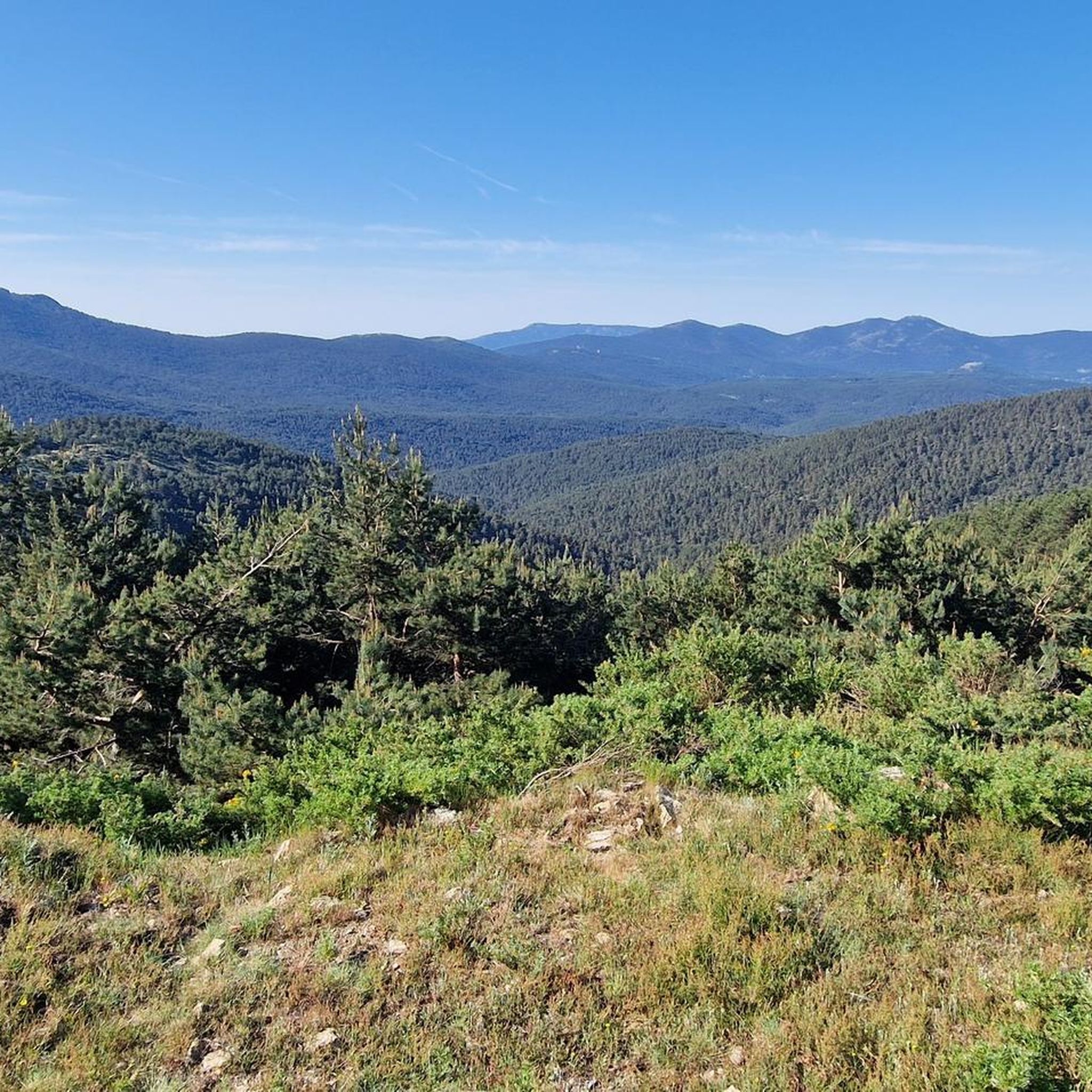

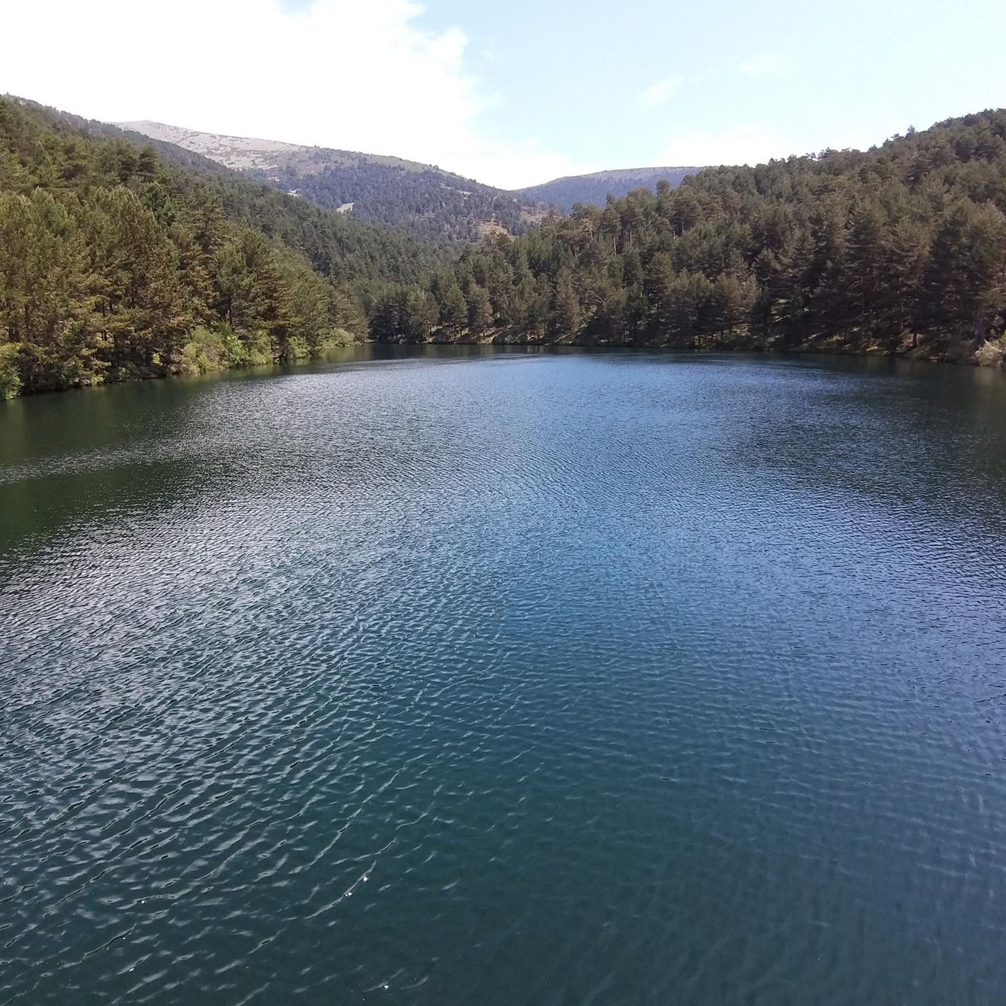
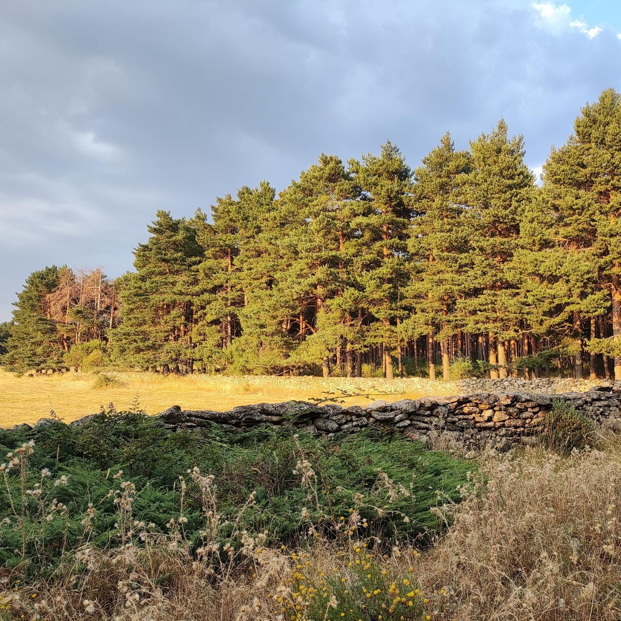

Tips from the Community

This fountain, at the end of April 2026, had its spout where the water fell removed. Now you can only get water from a small waterfall behind this tank.
1
0
Pretty and small reservoir that you find when you descend from the Puerto de la Fuenfría towards the Cañada Real Segoviana
0
0
Impressive pass located on the ridge of the Mujer Muerta or Peña del Oso.
0
0

Cool and special place.
0
0
A historic site from where water was transferred to the Segovia aqueduct. It's also a green, cool area where you'll want to relax and meditate.
0
0
A historic site from which water is drawn for the Segovia Aqueduct. It's also a cool, green place where you can rest and meditate.
0
0

Beautiful. Highly recommended. Spectacular setting.
0
0

Frequently Asked Questions
How many hiking trails are available around La Losa?
La Losa offers a wide variety of hiking experiences, with over 230 routes to explore. These range from easy strolls to challenging mountain ascents, ensuring there's something for every fitness level.
What kind of terrain can I expect on hikes around La Losa?
The terrain around La Losa is quite diverse. You'll find mountainous landscapes with prominent peaks like Peña del Oso, serene pine forests within areas such as the Sierra Norte de Guadarrama Natural Park, and trails that incorporate water features like the Puente Alta Reservoir. Expect a mix of rocky paths, forest trails, and open mountain terrain.
What is the best time of year to go hiking in La Losa?
La Losa is suitable for hiking throughout much of the year. Spring and autumn offer pleasant temperatures and vibrant scenery, ideal for most trails. Summer can be warm, making higher-altitude routes or early morning hikes preferable. Winter hiking is possible, especially on lower trails, but requires appropriate gear and caution due to potential snow and ice in the higher mountains.
Are there any challenging mountain hikes in La Losa?
Yes, La Losa is known for its challenging mountain trails, particularly those leading to significant peaks. For a demanding experience, consider The Dead Woman – Peña del Oso (2,196 m) loop from Rancho la Becea, which covers 14 miles (22.5 km) with significant elevation gain, requiring very good fitness and sure-footedness.
Can I find easy or moderate hiking options in La Losa?
Absolutely. While there are challenging routes, La Losa also provides many moderate and easy options. A great moderate choice is the Puente Alta Reservoir – Weir of the Segovia Aqueduct loop from Revenga, a 6.1-mile (9.8 km) path that combines natural beauty with historical exploration without extreme difficulty.
Are there circular hiking routes available?
Yes, many of the trails around La Losa are circular, allowing you to start and end at the same point. For example, the Pinar de la Acebeda y El Berrueco — circular por el Acueducto en Revenga is a popular circular route through the Sierra Norte de Guadarrama Natural Park.
What natural features or landmarks can I see while hiking in La Losa?
Hikers can discover a wealth of natural and historical landmarks. You can explore the unique 'Dead Woman' mountain range, reach the summit of Peña del Oso (2,196 m), or visit the Navacerrada Pass. Trails also lead through the beautiful pine forests of the Sierra Norte de Guadarrama Natural Park and past the historic Puente Alta Reservoir, which fed the Segovia Aqueduct.
Are the hiking trails around La Losa suitable for families?
Yes, La Losa offers trails suitable for families, particularly the easier and moderate options. These routes often have less elevation gain and shorter distances, making them enjoyable for all ages. Look for trails that explore the pine forests or follow the gentler paths around the reservoirs for a family-friendly outing.
Are dogs allowed on the hiking trails in La Losa?
Many trails in the La Losa area are dog-friendly, allowing you to enjoy the outdoors with your canine companion. However, it's always recommended to keep dogs on a leash, especially in natural parks or areas with livestock, and to check specific regulations for protected areas like the Sierra Norte de Guadarrama Natural Park.
Is parking available near the trailheads?
Parking is generally available near popular trailheads and villages like Revenga, which serve as starting points for many routes. Specific parking information can often be found in the route descriptions on komoot, but it's advisable to arrive early during peak seasons to secure a spot.
Can I reach hiking trails in La Losa using public transport?
While some areas around La Losa might be accessible by public transport, options can be limited, especially for reaching more remote trailheads. It's best to check local bus schedules for routes connecting to nearby towns or villages that serve as starting points. Many hikers opt for personal vehicles for greater flexibility.
What do hikers enjoy most about the trails in La Losa?
The trails around La Losa are highly rated by the komoot community, with an average score of 4.6 stars from over 1500 reviews. Hikers often praise the diverse landscapes, from challenging mountain peaks with expansive views to serene forest paths and historical water features. The blend of natural beauty and cultural significance is a particular highlight.
Which trails offer the best views?
For breathtaking panoramic views, trails that ascend to higher elevations are your best bet. The routes leading to Peña del Oso (2,196 m) or through the 'Dead Woman' mountain range offer spectacular vistas of the surrounding Segovian landscape. The Milanillos Viewpoint – Puerto de Pasapán loop from Rancho la Becea is another excellent option known for its scenic outlooks.
Most popular routes around La Losa
Most popular attractions around La Losa

Get inspired with the komoot mobile app


Explore more
Browse the best Hikes in other regions.
