The best walks and hikes around Sant Boi De Lluçanès
4.7
(262)
2,804
hikers
168
hikes
Hiking around Sant Boi De Lluçanès offers diverse landscapes, characterized by mountainous terrain, extensive forests, and cultivated fields. The region features numerous trails that provide panoramic views of the Pyrenees and other pre-Pyrenean landmarks. Rivers and streams, such as the Sorreigs, also form part of the natural environment. This area provides a network of paths suitable for various skill levels.
Best hiking trails around Sant Boi De Lluçanès
- The most popular hiking route is Els Munts Circular from Sant Boi…
Last updated: July 7, 2026
4.8
(12)
49
hikers
8.25km
02:25
230m
230m
Hike the Els Munts, Mare de Déu dels Munts – Sant Boi de Lluçanès – Circular Route for panoramic views and a historic sanctuary.
13
hikers
11.3km
03:17
300m
300m
Moderate hike. Good fitness required. Easily-accessible paths. Suitable for all skill levels.

Sign up for free
9
hikers
10.2km
03:01
290m
290m
Moderate hike. Good fitness required. Easily-accessible paths. Suitable for all skill levels.
5.0
(2)
7
hikers
5.92km
01:40
120m
120m
Easy hike. Great for any fitness level. Easily-accessible paths. Suitable for all skill levels.
8
hikers
14.5km
04:28
500m
490m
Moderate hike. Good fitness required. Easily-accessible paths. Suitable for all skill levels.
Get access to more routes and recommendations from other explorers.
Sign up for free
Already have an account?
Our route recommendations are based on thousands of hikes, rides, and runs completed by other people on komoot.
Start today with a free account
Your next adventure awaits.
Login or Signup

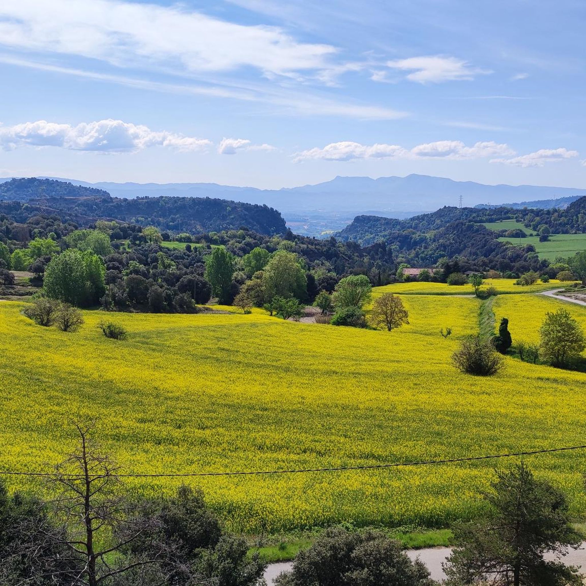
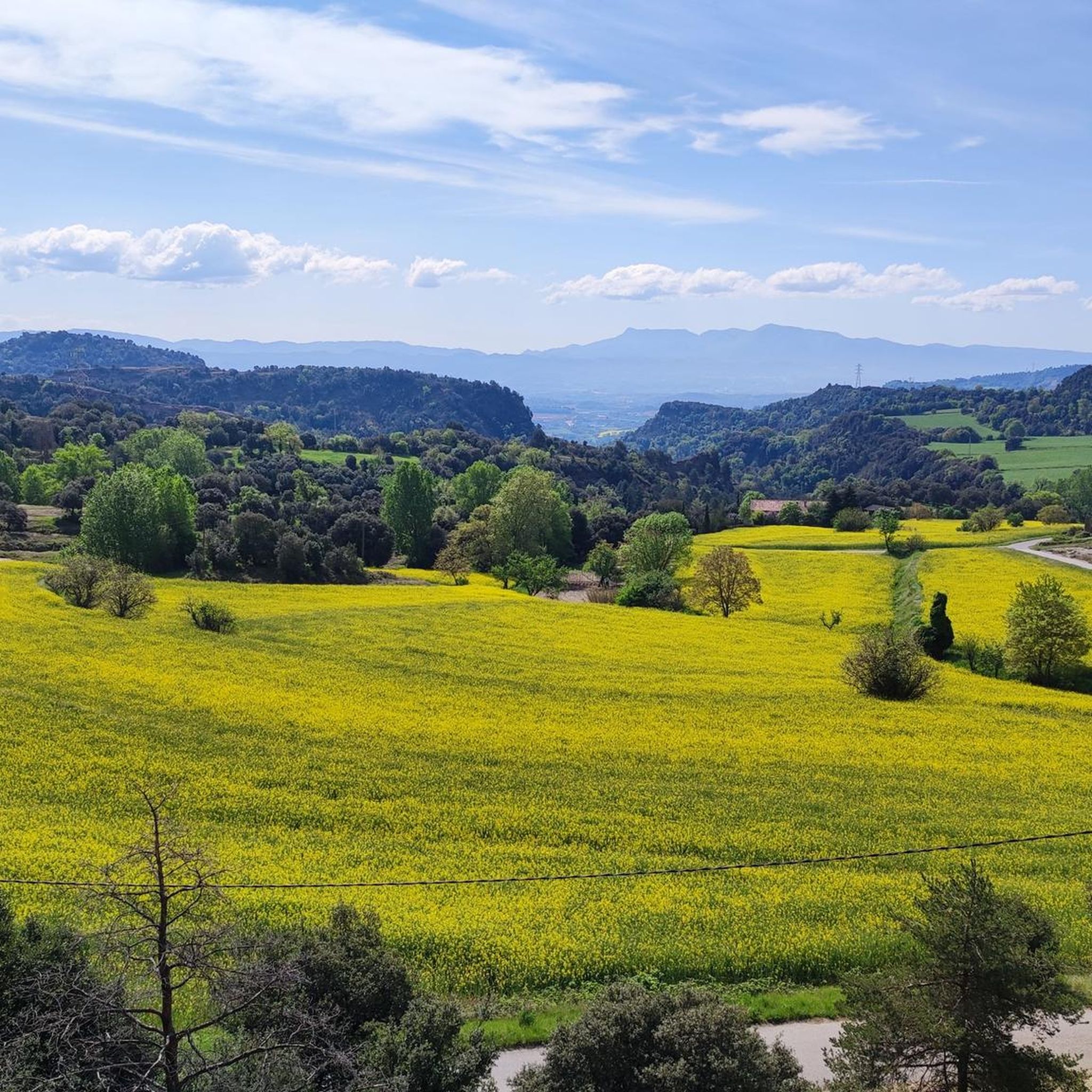
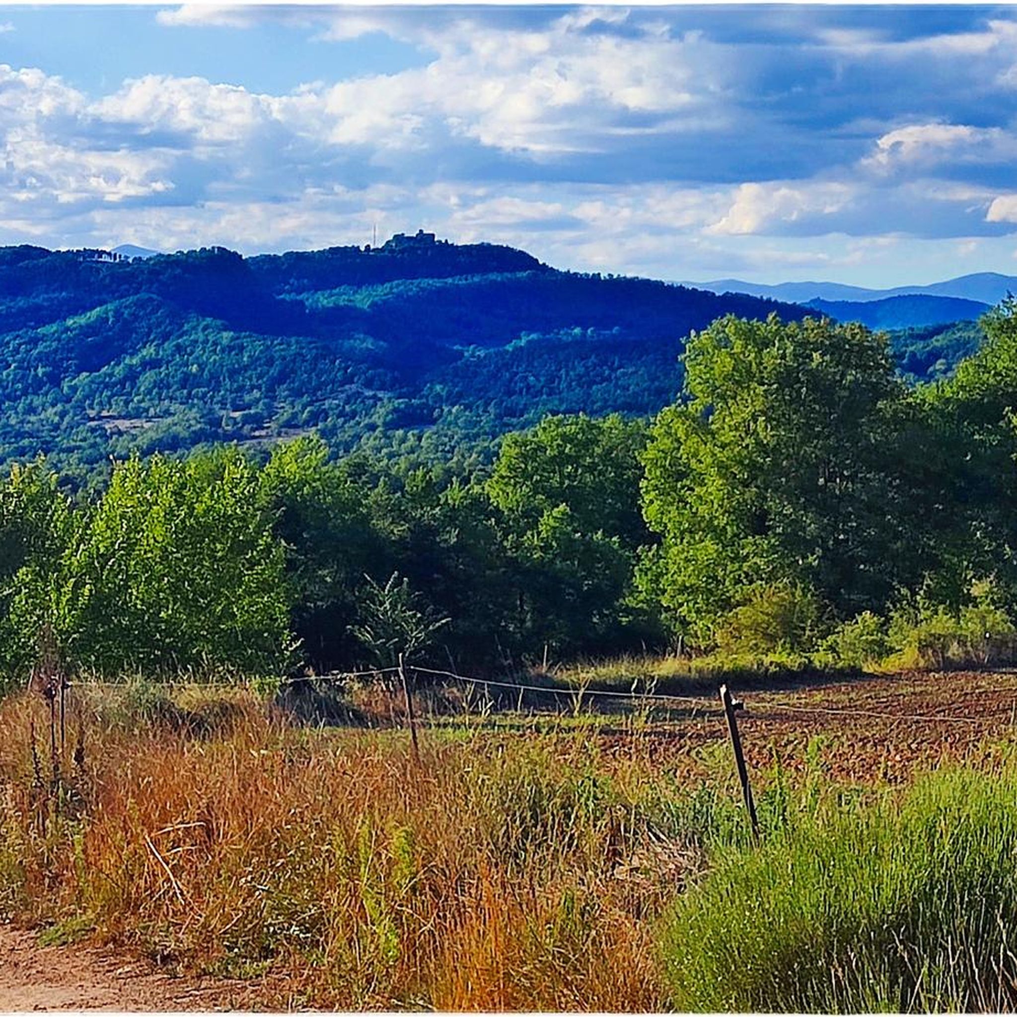
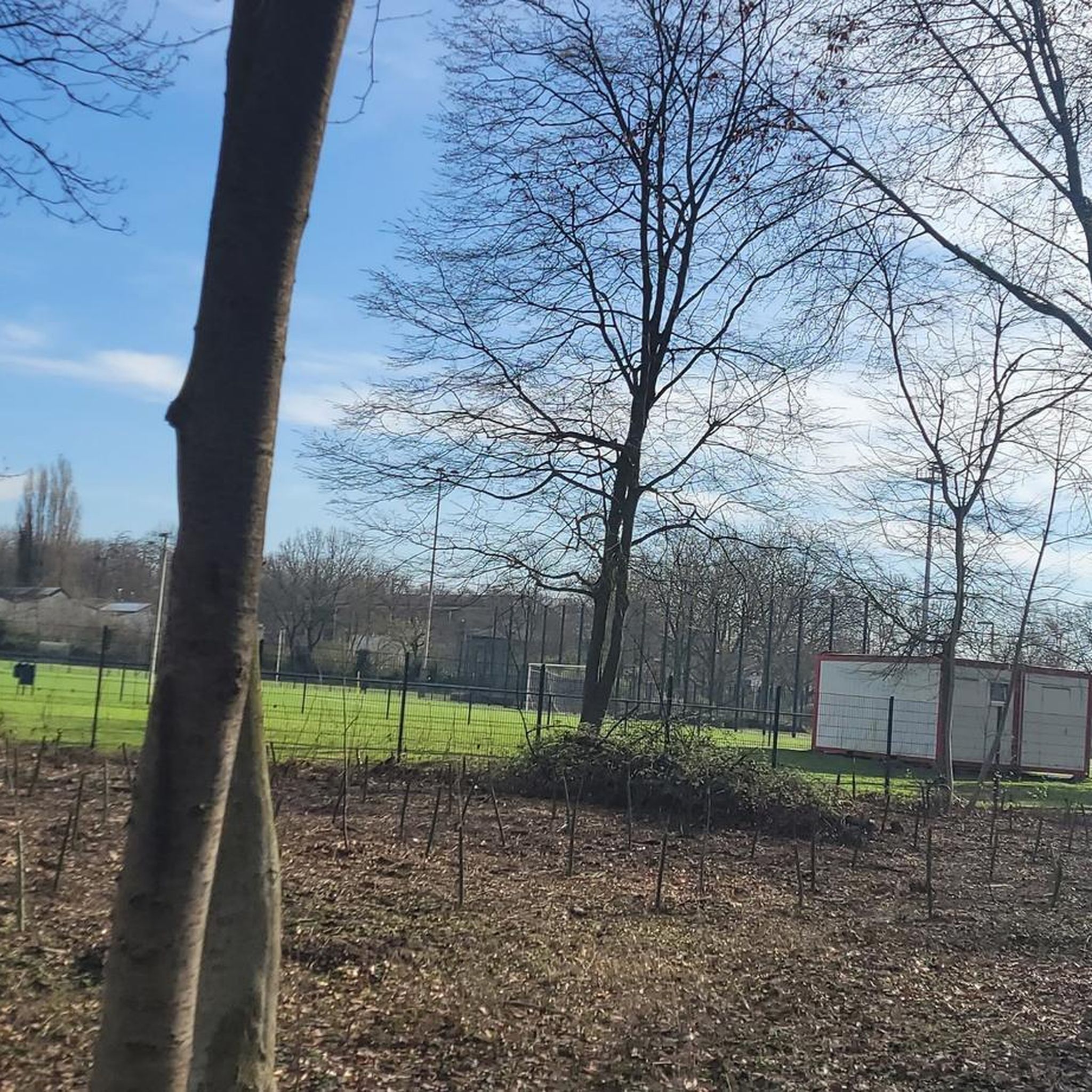
Tips from the Community

SANT SALVADOR CHURCH OF BELLVER Sant Salvador de Bellver is a Romanesque church located at the north-eastern end of the municipality of Sant Boi de Lluçanès at the tip of a ridge that dominates the northern part of the Plana de Vic. It is a church of large proportions, divided by two lateral arches and covered with a slightly pointed vault, which ends with a semicircular apse, covered with a quarter-sphere vault. The sobriety of the architectural lines and the volume of the construction, resolved with large blocks, in a homogeneous structure and without interruptions of any kind, lacking additions from later periods, make the beauty of the style stand out even more, which is shown in the exterior ornamentation of the apse, under the line of the cornice and in its windows. A sawtooth frieze is preserved in the apse and presents three series of nine blind arches separated by Lombard bands. Two windows also open, one in the east sector and the other in the south sector, both formed by arches in degradation. These windows form slits on the inside and folds outwards. https://turisme.llucanes.cat/visiteu/esglesia-de-sant-salvador-de-bellver/ https://ca.wikipedia.org/wiki/Sant_Salvador_de_Bellver
2
0

I was hoping to find the friar Marcel Capellades who, as I understand it, lives and shares his life with other people who seek God in the sources of the gospel, prayer and silence. As a young man, he was a disciple of Father Estanislau Maria Llopart, a hermit from Montserrat, whom he accompanied to Japan in 1974 to begin a hermit experience in the Nagasaki Islands. Unfortunately I didn't find anyone there.
0
1
Sant Salvador de Bellver was on the edge of the old town of Lluçà castle, in the place of Bellver or Orís, because it was touching the boundaries of the castle of Orís, in the parish of Sant Boi de Lluçanès. Its old name, recorded as early as 1110, at the beginning of its foundation, was that of Sant Salvador de Bellver, due to its fact that it is located on the hill of Belvidere or Bellver. Undoubtedly, the long horizon towards the Plana de Vic and the Ter valley, which could be admired from this point, must have given it this name. From the beginning of the twelfth century there was a community of priests and clergy, ruled by a prior. This community was governed by the rule of Sant Agustí, as was the monastery of Lluçà or the lake. The church became more important when a brotherhood was created in its temple in 1210, of which several nobles and peasants of the region were part. Upon entering, they made various donations of land in exchange for being included in the prayers and suffrages of the confreres. This brotherhood managed to be as important or more important than the community of canons, which, towards the end of the 13th century, in 1278, had already been reduced to a priest, who had the title of rector, and two other chaplains, beneficiaries. , one of which was from the brotherhood. The Black Death caused the disappearance of the community, while the brotherhood mourned the death of the institution.
0
1
Another example of popular religiosity, at a time when the protection of the saints was sought from the evils and facts of the lives of people who did not yet have a rational solution or explanation. This hermitage was built in the 19th century by the owners of the houses in Codines and Bertrans, close to the site, due to an epidemic of cholera that affected the town in 1854 as a sign of protection against possible future floods. The shape of the roof on the part of the façade stands out, imitating the Baroque style. Its condition is very good and Mass is celebrated once a year.
0
1
It is located at the base of a rocky slope. The environment is very tidy and under the canopy there are well-arranged benches. Some of the branches are supported by tutors. In front of the tree, a field of dryland cereals opens up. In the background is the imposing fortified manor house of Vilar. There is a certain diversity of meadow grasses, wild garlic, fennel, vidalba, ivy, gavarra, bramble, sajolida, broomstick, juniper, robinia and large-leaved ash. Beyond the fauna of this type of habitat (such as larks, crickets and quails), you can see the bald eagle in summer and, very close by, an exceptional population of black woodpeckers. . Tradition has it that Madame Lotgarda de Perdals, from whom she took her name, had a great deal of love for the oak and spent long hours in its shade reading or crocheting. It is a tree listed as a monument since August 30, 1988 due to its size and age (it is believed to be over 500 years old). Descriptive data: - Perimeter of the trunk at 1.30 m: 4.13 m. - Perimeter of the base of the trunk: 7.66 m. - Height: 21.56 m. - Width of the crown: 33.21 m. - Altitude above sea level: 855 m.
0
1
The sanctuary of the Virgen dels Munts is located in the Lluçanès sub-region at the junction of Osona and Ripollès. The building consists of the church and the inn. The church is a single nave covered with a transept vault, dated to the lintel of the entrance door in 1700. On the left side of the façade there is a bell tower, which can be accessed from from inside the church. The front door is protected by a porch that communicates with the inn, a rectangular building. Inside there is the very restored Romanesque image of the Virgen dels Munts, from the 13th century. You can get there by car by detouring along the BP-4653, before reaching Sant Agustí de Lluçanès. Next to the inn, now a restaurant, there are two wooden tables that we find in the recreation areas.
0
1
Els Munts is a mountain of 1,057 meters that is located between the municipalities of Sant Agustí de Lluçanès and Sora, in the region of Osona. At the top you can find a geodesic vertex (reference 289093001),[2] next to which is the Sanctuary of Our Lady of the Mountains, and its inn which is currently a restaurant. This peak is included in the list of the 100 peaks of the FEEC Els Munts is located between the counties of Osona, Ripollès, Lluçanès and Berguedà. From the north-west of this lookout you can see the Cadi, the Pedraforca and the Encija. Looking southwest Montserrat. To the east we see Puigsacalm, the Serra del Milany and Puig Cubell, Cabrera and Aiats, to the south-east you can see a large part of Osona and Montseny. Finally, in the north-east it can be seen from the Pyrenees of Núria to Canigó, with the prominent presence of the Puigmal peak. Panoramic views to the northwest from Els Munts From near the summit, the various ramifications that make up the Sobremunt, Sant Salvador de Bellver and Bescanó mountain ranges start. All of them die at the foot of the river Ter, between Sant Quirze de Besora and El Santuari de la Gleva. In the middle of the summit there are maps that indicate the most relevant places and help to identify all these places
0
1
From this point you can enjoy a wide panorama from the mountains of Alta Garrotxa, Collsacabra, Guilleries and Montseny. The downside is that if it's sunny you have to face it.
0
1
Frequently Asked Questions
How many hiking trails are available in Sant Boi de Lluçanès?
Sant Boi de Lluçanès offers an extensive network of trails, with over 170 hiking routes available. These range from easy strolls to more challenging treks, catering to various skill levels.
What kind of landscapes can I expect to see while hiking in Sant Boi de Lluçanès?
Hikers in Sant Boi de Lluçanès will experience diverse landscapes, including mountainous terrain, extensive forests, and cultivated fields. Many routes follow rivers and streams, such as the Sorreigs, and offer panoramic views of the Pyrenees and other pre-Pyrenean landmarks like Pedraforca and Montserrat.
Are there easy hiking trails suitable for beginners in Sant Boi de Lluçanès?
Yes, there are plenty of easy options. Approximately 49 of the trails are rated as easy, perfect for beginners or those looking for a relaxed walk. An example is the Els Munts Summit and Sanctuary loop from Sant Boi de Lluçanès, which is an easy 5.25 km route.
Can I find circular hiking routes in the area?
Yes, circular routes are a popular feature in Sant Boi de Lluçanès. Many trails are designed as loops, allowing you to start and end at the same point. A great example is the Sant Pere Church loop from Perafita, an easy 5.9 km circular hike.
What historical or cultural landmarks can I discover while hiking?
The region is rich in history. You can combine your hikes with visits to cultural sites like the majestic parish church in Sant Boi de Lluçanès with its Baroque altarpieces, or the Romanesque church of Sant Salvador de Bellver. Many trails also lead to historic sanctuaries, such as the Mare de Déu dels Munts. You can also explore nearby castles like Besora Castle or Lluçà Castle and Church of Sant Vicenç.
Are there any hikes with panoramic viewpoints in Sant Boi de Lluçanès?
Absolutely. The mountainous terrain ensures many routes offer breathtaking panoramic views. Trails like the Els Munts Circular from Sant Boi de Lluçanès provide sweeping vistas. From points like Puigcornador, you can often see the Pyrenees, Pedraforca, Cadí, and Puigmal.
What do other hikers say about the trails in Sant Boi de Lluçanès?
The routes in Sant Boi de Lluçanès are highly rated by the komoot community, with an average score of 4.7 stars from over 240 reviews. Hikers often praise the diverse landscapes, well-maintained paths, and the combination of natural beauty with historical sites.
Are there family-friendly hiking options in Sant Boi de Lluçanès?
Yes, the extensive network of trails includes many options suitable for families. The variety of easy and moderate routes, often through forests and fields, provides enjoyable experiences for all ages. Look for shorter, less strenuous circular paths for a pleasant family outing.
Is it possible to hike with dogs in Sant Boi de Lluçanès?
Generally, dogs are welcome on most hiking trails in Sant Boi de Lluçanès. However, it's always recommended to keep them on a leash, especially in areas with livestock or protected wildlife. Please respect local regulations and clean up after your pet.
What is the best time of year to go hiking in Sant Boi de Lluçanès?
Sant Boi de Lluçanès is suitable for hiking throughout much of the year. Spring and autumn offer pleasant temperatures and vibrant scenery, with blooming flora or colorful foliage. Summer can be warm, so early morning or late afternoon hikes are recommended. Winter hiking is also possible, especially on lower elevation trails, offering a different, quieter experience.
Are there any specific trails that showcase the region's diverse flora?
Yes, some routes are particularly noted for their botanical interest. For instance, the area around 'The Lady's Oak' features a rich variety of flora, including meadow grasses, wild garlic, fennel, ivy, juniper, and large-leaved ash. The The Lady's Oak – Santuari dels Munts loop from Sant Boi de Lluçanès is a great option to explore this.
Where can I find parking for hiking trails in Sant Boi de Lluçanès?
Parking is generally available in or near the villages that serve as trailheads, such as Sant Boi de Lluçanès itself or Perafita. Many routes start from central points where public parking is accessible. It's advisable to check specific route details for recommended starting points and parking information.
Most popular routes around Sant Boi De Lluçanès
Most popular attractions around Sant Boi De Lluçanès

Get inspired with the komoot mobile app


Explore more
Browse the best Hikes in other regions.
