The best walks and hikes around Santa María De La Alameda
4.4
(85)
372
hikers
22
hikes
Hiking around Santa María De La Alameda offers access to the diverse landscapes of the Sierra de Guadarrama in the Community of Madrid. The region features a mix of dense forests, historical paths, and notable natural water features like the Chorrera del Hornillo. Trails often follow ancient village paths connecting hamlets, providing insights into local heritage. The terrain includes varied elevations, from lower woodlands to higher mountain slopes, catering to different hiking preferences.
Best hiking trails around Santa María De La Alameda
- The most popular hiking route is Cascada del Hornillo — circular desde Robledondo, a 5.6 miles (9.1 km) moderate trail that takes about 2 hours 50 minutes to complete. This circular route explores the area around the Hornillo Waterfall.
- Another top favourite among local hikers is Ascent to Cerro de la Cabeza via the Cascada del Hornillo — circular from Mirador del río Aceña, a moderate 8.7 miles (14.0 km) path. This route includes an ascent to Cerro de la Cabeza with views of the Hornillo Waterfall.
- Local hikers also love the Hornillo Waterfall – Río Aceña Viewpoint loop from Área Recreativa del Río Aceña, a 2.9 miles (4.7 km) trail leading through varied terrain, often completed in about 1 hour 40 minutes.
- Hiking around Santa María De La Alameda is defined by its location within the Sierra de Guadarrama, featuring pine forests, ancient village paths, and natural waterfalls. The network offers options for different ability levels, from easy loops to more challenging ascents.
- The routes in Santa María De La Alameda are highly rated by the komoot community with an average score of 4.4 stars from over 70 reviews. More than 400 hikers have used komoot to explore Santa María De La Alameda's varied terrain.
Last updated: July 9, 2026
3.9
(12)
30
hikers
9.08km
02:52
310m
310m
Moderate hike. Good fitness required. Mostly accessible paths. Sure-footedness required.
5.0
(1)
4
hikers
Moderate hike. Good fitness required. Mostly accessible paths. Sure-footedness required.

Sign up for free
3.9
(16)
96
hikers
Moderate hike. Great for any fitness level. Mostly accessible paths. Sure-footedness required.
4.3
(4)
24
hikers
16.0km
05:05
580m
580m
Hard hike. Very good fitness required. Mostly accessible paths. Sure-footedness required.
4.0
(2)
5
hikers
6.77km
02:05
170m
180m
Moderate hike. Good fitness required. Mostly accessible paths. Sure-footedness required.
Get access to more routes and recommendations from other explorers.
Sign up for free
Already have an account?
Our route recommendations are based on thousands of hikes, rides, and runs completed by other people on komoot.
Start today with a free account
Your next adventure awaits.
Login or Signup

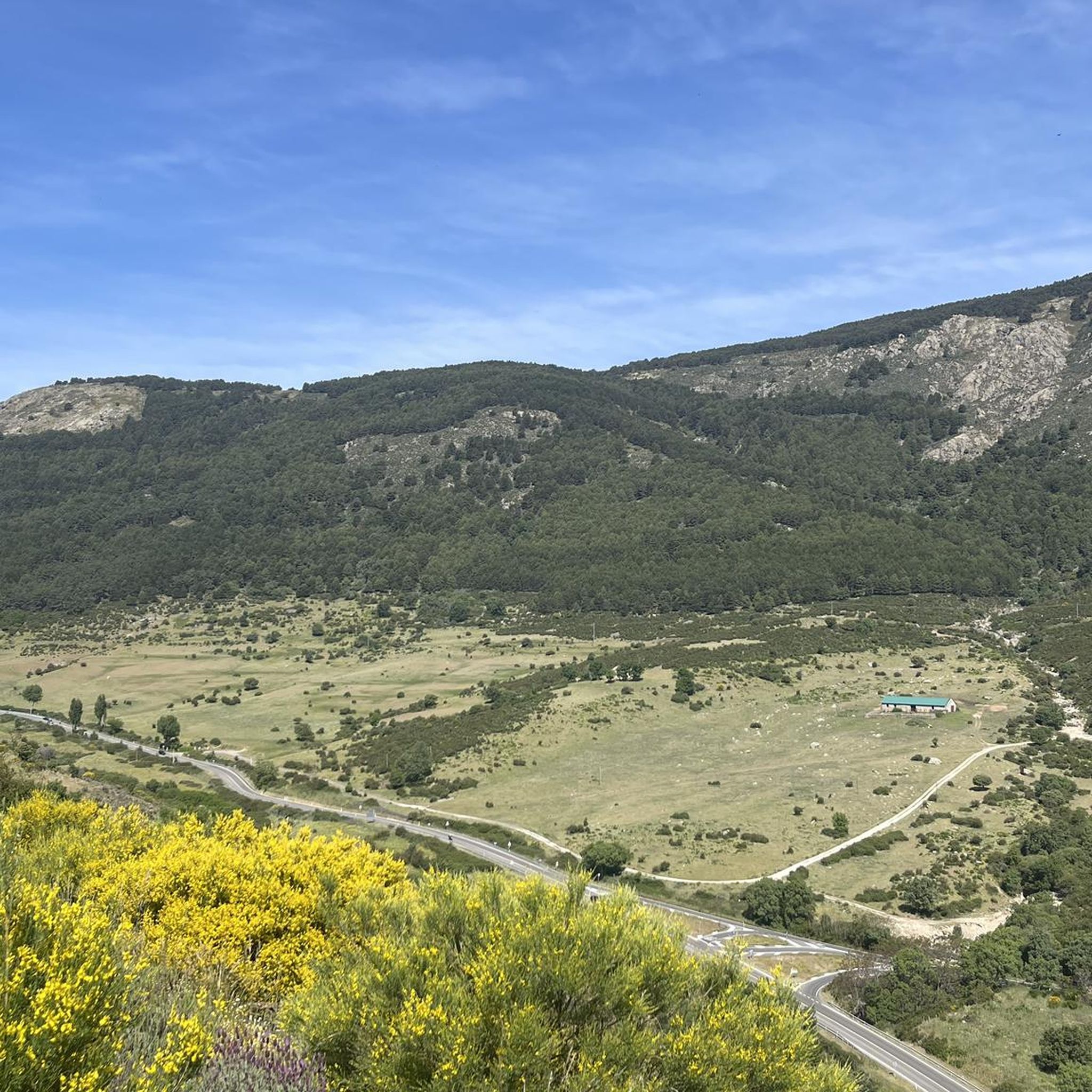
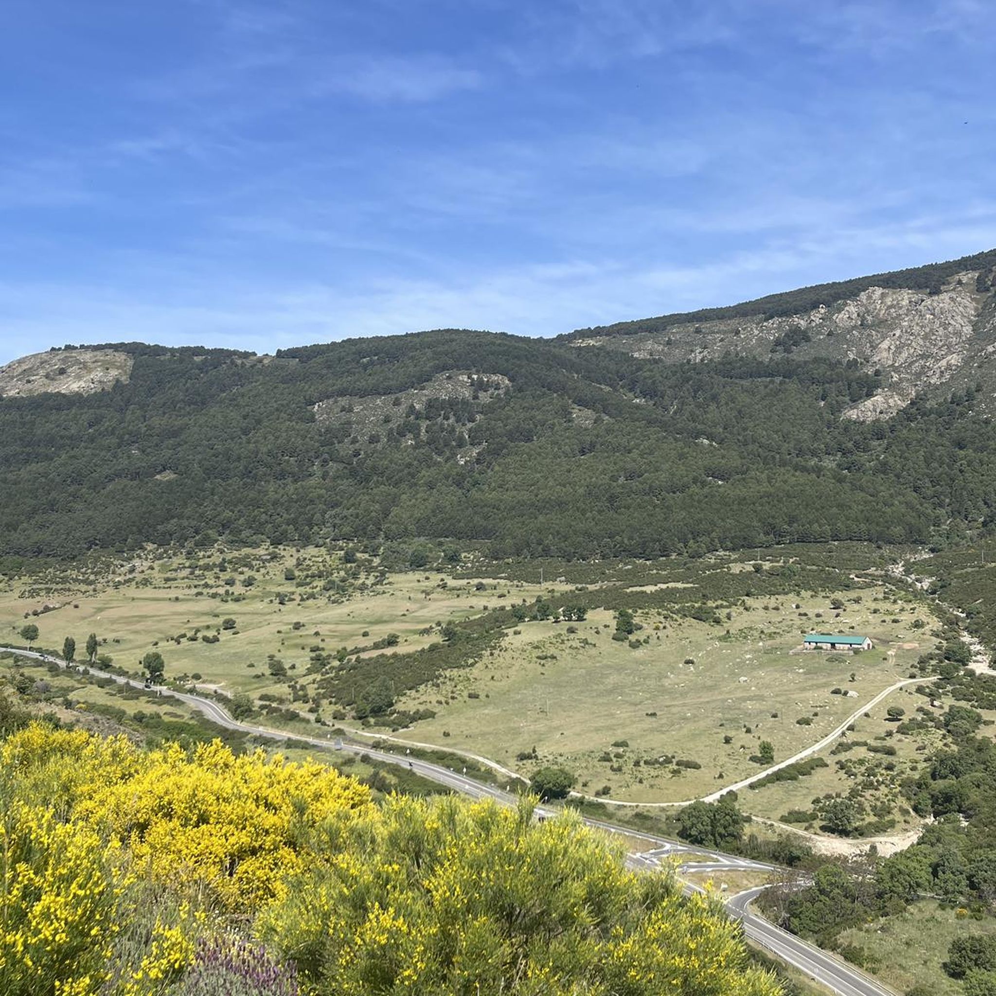
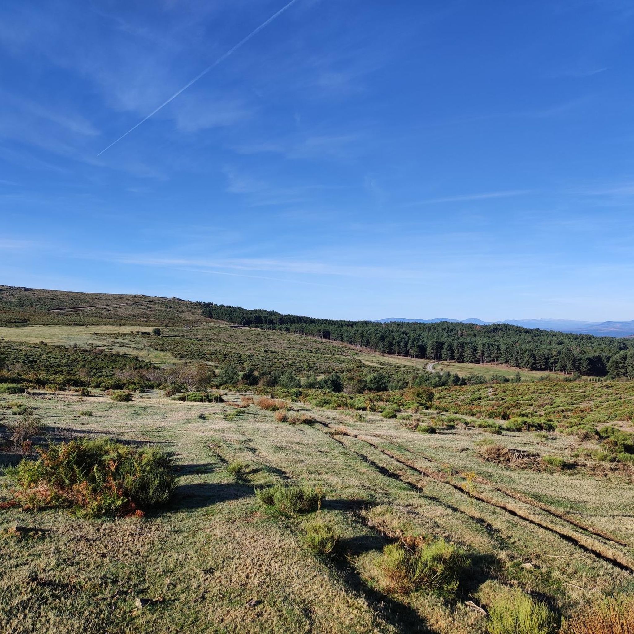

Tips from the Community

One of the best MTB ports in Madrid
0
0

From here the hardest part ends and you begin to go along the ridge towards the peak of Mount Abantos, leaving behind the Rubens Cross and passing before reaching the top of a rocky crag with impressive views of the Valley of the Fallen... The view is spectacular and how tiny it looks... This point is the moment in which there will no longer be a climb that scares you but be careful with the descent slope... It also brings them.
2
0

It is one of the most important in the Guadarrama mountain range (belonging to the Central system). It has an altitude of 1753 meters. The northern slope of the mountain is in the Cuelgamuros valley. A small part of the mountain to the west of the summit belongs to the province of Ávila (Castilla y León). It is a mountain with a smooth contour and one of the best seen and differentiated from the Guadarrama mountain range. Almost all of its slopes are covered by pine forests, some of which have been repopulated. On its western slope is the port of Malagón.
0
0
The port of Malagón, also known as Alto de Abantos or Puerto de San Juan de Malagón, is a mountain pass located in the southwest area of the Sierra de Guadarrama. It has an altitude of 1590 meters and separates the Spanish provinces of Madrid and Ávila.
0
0

Beautiful waterfall that, although it can be avoided, is always nice to see its waters fall from the highest parts of the Sierra on its southern side. When it's hot, a great place to cool off.
1
1

Legendary peak that not only has magnificent views but also plays a great role in the history of sports in Spain.
0
0

The port of Malagón, also known as Alto de Abantos or Puerto de San Juan de Malagón, is a mountain pass located in the southwest area of the Sierra de Guadarrama (mountain belonging to the Central System). It has an altitude of 1590 meters and separates the Spanish provinces of Madrid and Ávila. The regional road that crosses it connects the municipalities of San Lorenzo de El Escorial (Madrid) and Peguerinos (Ávila). To the west of the port extends the Malagón mountain range, which gives it its name. The mountain pass is located on the southern slope of Mount Abantos, which is why it constitutes the starting point of a path that leads to the top of said mountain.
0
0

Located on the forest track that connects Peguerinos with San Lorenzo de El Escorial, it has been crowned on several occasions by the Cycling Tour of Spain, this border port between Madrid and Ávila rewards us for the effort of the climb with amazing views of the community of Madrid. The ideal place to take a souvenir photo and enjoy the summit.
0
0
Frequently Asked Questions
How many hiking trails are available in Santa María De La Alameda?
There are over 20 hiking routes in Santa María De La Alameda, offering a variety of experiences within the Sierra de Guadarrama. These trails cater to different fitness levels, from easy walks to more challenging ascents.
What is the range of difficulty for hikes in Santa María De La Alameda?
The trails in Santa María De La Alameda offer a good range of difficulty. You'll find 1 easy route, 15 moderate routes, and 6 difficult routes, ensuring options for all experience levels.
Are there any hikes that feature waterfalls in Santa María De La Alameda?
Yes, the area is known for its natural water features. You can explore trails that lead to the Hornillo Waterfall. Routes like Cascada del Hornillo — circular desde Robledondo and Ascent to Cerro de la Cabeza via the Cascada del Hornillo — circular from Mirador del río Aceña specifically highlight this beautiful natural monument.
Can I find circular hiking routes in Santa María De La Alameda?
Absolutely. Many of the trails in Santa María De La Alameda are circular, allowing you to start and end at the same point. Examples include Cascada del Hornillo — circular desde Robledondo and the Hornillo Waterfall – Río Aceña Viewpoint loop from Área Recreativa del Río Aceña.
Are there family-friendly hiking options in Santa María De La Alameda?
Yes, there are trails suitable for families. The region offers easy paths, such as a circular route near the Arroyo del Tobar valley, which is about 4.84 km long and takes around 1 hour 20 minutes, perfect for a leisurely family outing.
Do the trails in Santa María De La Alameda offer historical or cultural points of interest?
Yes, the area is rich in history. Many trails follow ancient village paths that connect various hamlets, offering a glimpse into local heritage. The Valle de la Fuenfría, accessible from the area, also features the historic Camino Schmidt and the ancient Roman Road of Fuenfría (Calzada Romana de Fuenfría).
Where can I find the best viewpoints or scenic vistas?
For stunning views, consider routes that ascend to points like Cerro de la Cabeza, which offers panoramic vistas. Within the broader Valle de la Fuenfría, you can also find scenic spots like Mirador de la Reina and Mirador de los Poetas.
What natural attractions can I explore near the hiking trails?
Beyond the trails themselves, you can discover several natural attractions. These include the Hornillo Waterfall, the impressive Mount Abantos, and various reservoirs like La Jarosa Reservoir and Romeral Reservoir.
Is parking available near the trailheads in Santa María De La Alameda?
Parking is generally available at common starting points for hikes, such as recreational areas or near villages. It's advisable to check specific route details for designated parking spots.
What is the best time of year to go hiking in Santa María De La Alameda?
Santa María De La Alameda, being part of the Sierra de Guadarrama, offers diverse scenery throughout the year. Spring and autumn generally provide pleasant temperatures and vibrant landscapes. Summer can be warm, but higher altitude trails offer cooler conditions. Winter hiking is possible but may require appropriate gear for snow and ice, especially on higher slopes.
What do other hikers say about the trails in Santa María De La Alameda?
The trails in Santa María De La Alameda are highly regarded by the komoot community, with an average rating of 4.4 stars from over 70 reviews. Hikers often praise the diverse terrain, from dense forests to historical paths, and the well-maintained nature of the routes.
Are there any longer or more challenging hikes for experienced hikers?
Yes, for experienced hikers seeking a challenge, there are 6 difficult routes available. An example is the Hornillo Waterfall – Puerto de Malagón loop from Robledondo, which is over 16 km long with significant elevation changes.
Are dogs allowed on the hiking trails in Santa María De La Alameda?
Generally, dogs are permitted on hiking trails in natural areas like the Sierra de Guadarrama, but it's always recommended to keep them on a leash, especially in protected zones or areas with wildlife, and to clean up after them. Specific rules might apply to certain routes or natural parks, so always check local signage.
Most popular routes around Santa María De La Alameda
Most popular attractions around Santa María De La Alameda

Get inspired with the komoot mobile app


Explore more
Browse the best Hikes in other regions.
