The best road cycling routes around Encinedo
102
riders
5
rides
Road cycling routes around Encinedo traverse a landscape characterized by a river valley, extensive holm oak and oak forests, and vineyards. The region features undulating terrain with climbs and descents, offering panoramic views from elevated points like "el oteiro." This area of Castile y León provides varied topography suitable for road cycling.
Best road cycling routes around Encinedo
- The most popular road cycling route is Sierra de la Cabrera Loop, a 64.8 miles (104.2 km) trail that takes 6…
Last updated: May 16, 2026
13
riders
104km
06:07
2,560m
2,560m
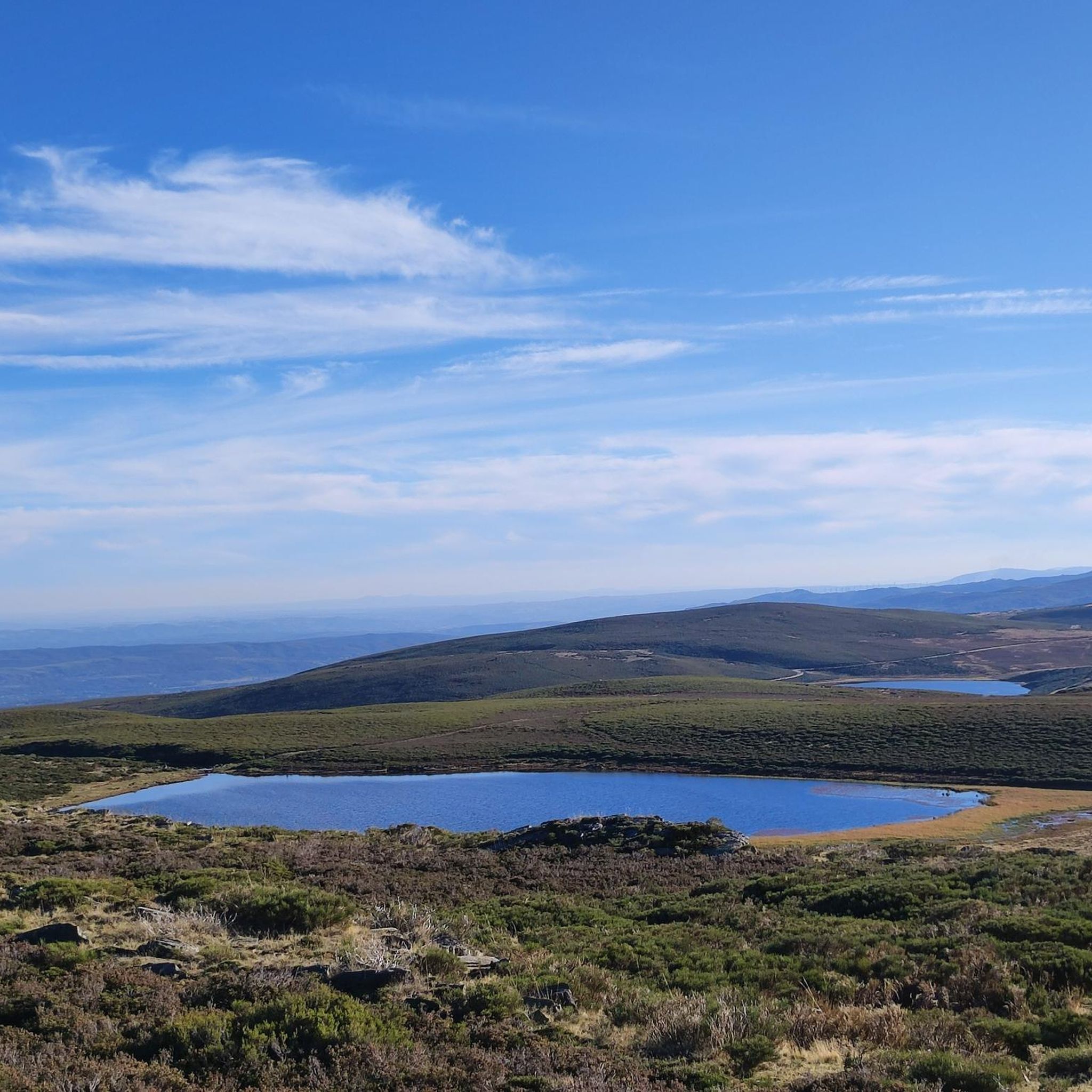
This difficult 64.8-mile road cycling route from La Baña to Lago de Truchillas offers stunning scenery and a challenging mixed-terrain ride.
9
riders
74.4km
04:28
1,900m
1,900m
Hard road ride. Very good fitness required. Mostly well-paved surfaces and easy to ride.

Sign up for free
8
riders
68.7km
03:55
1,610m
1,610m
Hard road ride. Very good fitness required. Mostly well-paved surfaces and easy to ride.
5
riders
141km
08:18
3,500m
3,500m
Hard road ride. Very good fitness required. Mostly well-paved surfaces and easy to ride.
4
riders
70.6km
02:57
540m
540m
Moderate road ride. Good fitness required. Mostly well-paved surfaces and easy to ride.
Our route recommendations are based on thousands of hikes, rides, and runs completed by other people on komoot.
Start today with a free account
Your next adventure awaits.
Login or Signup
Popular around Encinedo
Tips from the Community

From this stretch of road, as you slowly climb, you'll be able to glimpse Peña Aguda.
0
0
The La Baña road has a winding climb that tests cyclists' endurance with its tight curves and steady gradients. From its highest sections, there are breathtaking views of the incredible León landscape.
0
0
The Peña Aguda Pass is a steep climb. From its summit, you'll enjoy panoramic views of the mountains and valleys that make the effort to get there worthwhile.
0
0

Truchas is a small town located at the confluence of the Eria and Truchillas rivers in the region of La Cabrera.
1
0
A 6km climb from the Cabo river to Corporales gaining 430m with an average gradient of 7.4% is a tough climb reaching 1250m above sea level
1
0
La Baña is a small rural mining town in León surrounded by mountains such as La Cabrera or Pena Trevinca.
1
0
The Pumares Reservoir contains the waters of the Sil River. The reservoir is located on the border between León and Galicia next to the N-536 National Highway that runs between Ourense and Ponferrada.
1
0
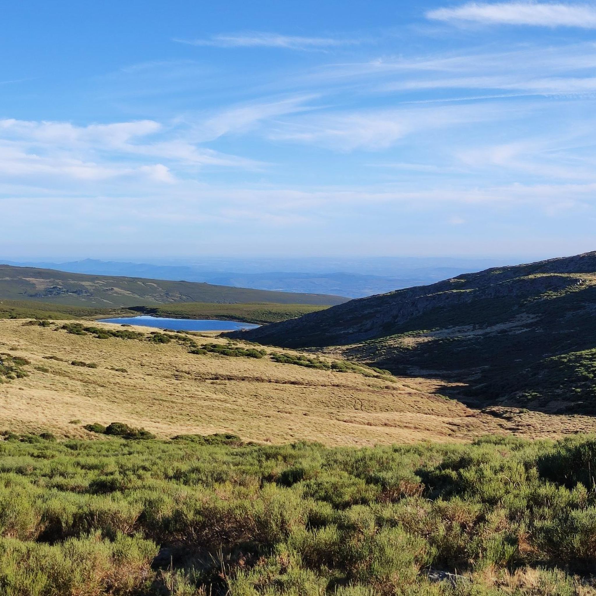
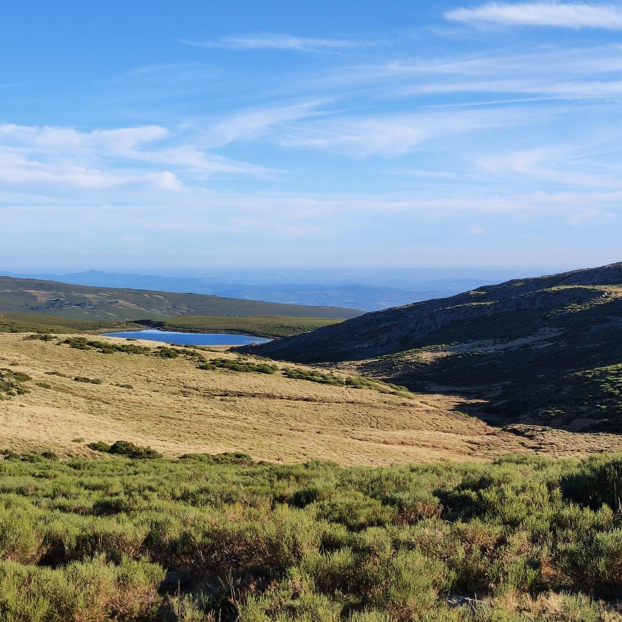
A tough climb of 8.78 km to the Col de Fonte de Cova from La Baña. Reaching 1,814m above sea level, it offers spectacular views of the Tervinca peak in Galicia. Gaining almost 700m in altitude with an average of 7.8% is a tough climb, so be prepared. The climb ends at the border between León and Galicia. Get ready for a big descent.
2
0
Frequently Asked Questions
How challenging are the road cycling routes around Encinedo?
The road cycling routes in Encinedo primarily cater to cyclists seeking a challenge. Out of the 5 routes listed, 4 are rated as difficult, and 1 is moderate. You can expect significant elevation changes and undulating terrain, typical of the region's river valleys and mountainous areas like the Sierra de la Cabrera.
What kind of terrain can I expect on road cycling routes in Encinedo?
Encinedo's road cycling routes traverse a diverse landscape. You'll encounter river valleys, extensive holm oak and oak forests, and vineyards. The terrain is generally undulating, featuring both climbs and descents, which contribute to the panoramic views available from elevated points.
Are there any scenic viewpoints or natural features to see while cycling?
Yes, the region offers several scenic spots. The 'el oteiro' viewpoint provides extraordinary panoramic views of the valley. You'll also cycle alongside the Cabrera River and through varied forests. For specific natural attractions, consider visiting the Viewpoint of Lake Sanabria or exploring the San Martín Cave, both of which are notable natural monuments in the broader area.
Can I find circular road cycling routes in the Encinedo area?
Yes, many of the routes around Encinedo are designed as loops. For example, the challenging Sierra de la Cabrera Loop and the Puerto de Las Gobernadas – La Baña loop from Encinedo are popular circular options that allow you to start and end in the same general area.
What is the typical length and duration of road cycling routes here?
The road cycling routes around Encinedo vary in length and duration, generally catering to longer rides. Routes range from approximately 42.7 miles (68.7 km) to 87.3 miles (140.5 km). Depending on the route and your pace, these can take anywhere from about 3 hours 55 minutes to over 8 hours to complete.
Are there any family-friendly road cycling options in Encinedo?
Given the prevalence of difficult and moderate routes with significant elevation changes, Encinedo's road cycling routes are generally more suited for experienced cyclists rather than families with young children or those seeking very easy, flat rides. The terrain is quite demanding.
What are the best times of year for road cycling in Encinedo?
While specific seasonal data isn't available, Spain's diverse geography and favorable climate generally make it a great cycling destination. Spring and autumn typically offer the most pleasant temperatures for road cycling in regions like Castile and León, avoiding the intense heat of summer and potential winter chill at higher elevations.
Are there places to eat or stay near the cycling routes in Encinedo?
Encinedo is a smaller municipality, but the broader region of Castile and León offers various accommodations and dining options. While specific cafes or pubs directly on the routes aren't detailed, traditional houses are visible in the village, and the area's cultural attractions suggest local amenities. Planning your route with stops in larger villages or towns is advisable for refreshments.
Is parking available for road cyclists in Encinedo?
Specific parking information for cyclists isn't detailed, but as a rural municipality, parking is generally available within the village of Encinedo or at the starting points of routes. It's always a good idea to check local signage or inquire locally upon arrival.
What cultural attractions can I visit in Encinedo after a ride?
After your ride, you can explore the local culture of Encinedo. The Museo de la Cabrera offers insight into centuries of Cabreiresas history and tradition. You can also observe traditional houses in the village and see an old olive tree by the parish church.
Are there any permits required for road cycling in the Encinedo area?
Generally, no specific permits are required for road cycling on public roads in the Encinedo area or broader Castile and León region. However, if your route takes you through protected natural parks or private land, it's always wise to check for any specific regulations or access requirements.
What makes Encinedo a good destination for road cycling?
Encinedo offers a picturesque and challenging environment for road cyclists. Its landscape, characterized by a river valley, vineyards, and forests, provides varied topography with rewarding climbs and descents. The panoramic views, especially from 'el oteiro,' add to the appeal, making it a great destination for those who appreciate scenic routes and a touch of local culture.
Are there any less crowded road cycling routes in Encinedo?
Encinedo is a lesser-known gem for road cycling, which means many of its routes are inherently less crowded than more famous cycling destinations. The routes listed, such as the Truchas Village – Truchas Road loop from Baíllo / Vayellu, offer a chance to explore the region's natural beauty on quieter roads.
Most popular routes around Encinedo
Most popular attractions around Encinedo

Get inspired with the komoot mobile app


Explore more
Browse the best Road cycling routes in other regions.
