The best cycling routes around Zagra
4.6
(17)
211
riders
36
rides
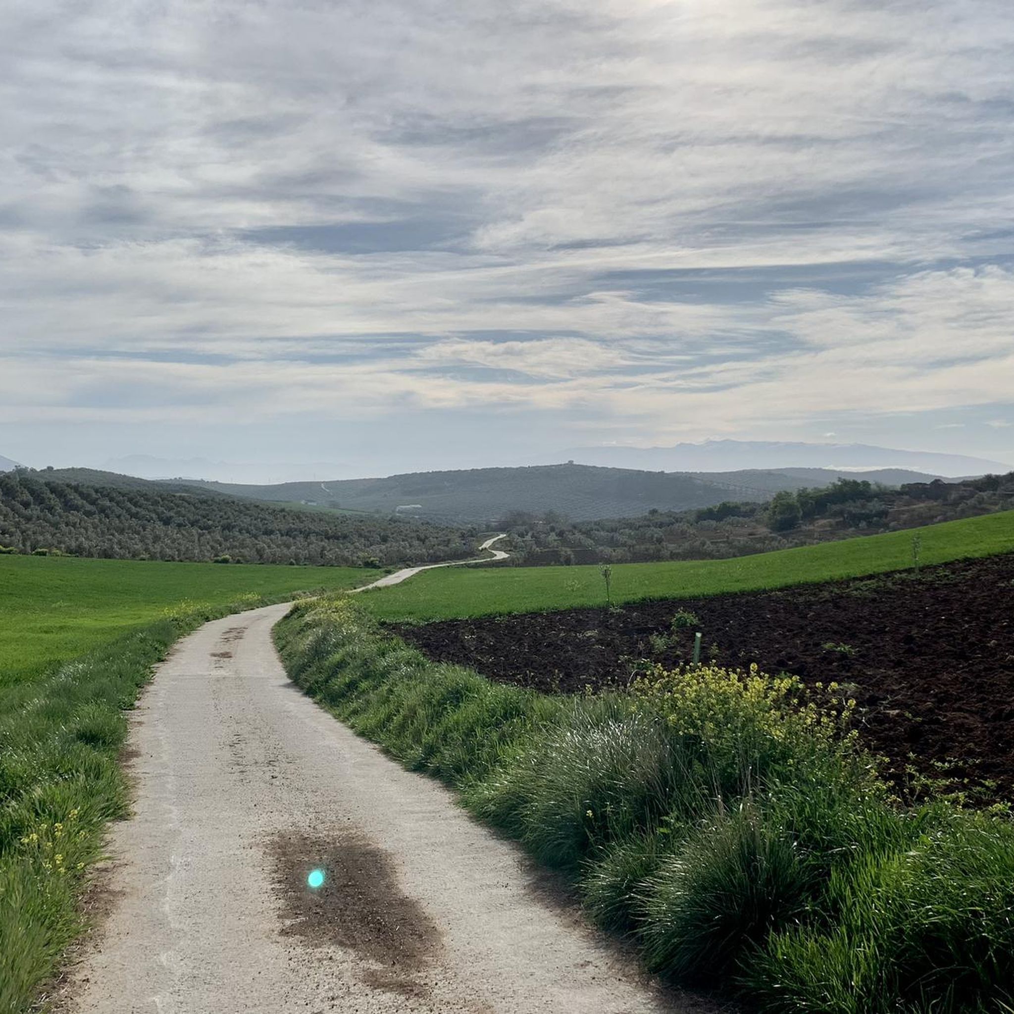
Touring cycling routes around Zagra are characterized by varied terrain, including hills and valleys, offering diverse cycling experiences. The region features a mix of open landscapes and areas with some elevation changes. Routes often traverse agricultural lands and natural areas, providing a connection to the local environment. The topography around Zagra includes moderate climbs and descents, suitable for touring cyclists seeking a balance of challenge and scenic riding.
Best touring cycling routes around Zagra
- The most popular touring cycling route…
Last updated: May 26, 2026
5.0
(1)
30
riders
45.4km
04:33
1,290m
1,290m
Hard bike ride. Very good fitness required. Mostly paved surfaces. Suitable for all skill levels.
22
riders
53.0km
04:09
800m
800m
Hard bike ride. Very good fitness required. Mostly paved surfaces. Suitable for all skill levels.

Sign up for free
5.0
(1)
21
riders
27.1km
01:36
170m
170m
Moderate bike ride. Good fitness required. Mostly paved surfaces. Suitable for all skill levels.
5.0
(6)
14
riders
27.1km
02:05
440m
440m
Moderate bike ride. Good fitness required. Mostly paved surfaces. Suitable for all skill levels.
4.5
(4)
15
riders
48.9km
03:09
310m
310m
Moderate bike ride. Good fitness required. Mostly paved surfaces. Suitable for all skill levels.
Get access to more routes and recommendations from other explorers.
Sign up for free
Already have an account?
Our route recommendations are based on thousands of hikes, rides, and runs completed by other people on komoot.
Start today with a free account
Your next adventure awaits.
Login or Signup


Tips from the Community

I past it with an Ebike with 20" wheels. Underwater is cement surface. Even kids can cross with no problem
0
0

Always carry water
0
0

You will be able to see gallipatos in its waters, an amphibian that can measure 30 cm
1
0

The quarry is located next to a private property, ask for permission or border the property on the outside. Maximum respect please. Do not put absurd graffiti. Nothing you leave or put in is going to make the place more beautiful than it already is on its own.
1
0
It is a fairly simple ford and is fully cemented so there are no stones or obstacles at the bottom. It's not deep.
3
0

The Huétor tower was a tower in the walled fortified system of the Huétor farmhouse. This corresponds to the current town of Huétor-Tájar, located on the left bank of the Genil River, in the center of western Granada.
0
0
Frequently Asked Questions
What kind of terrain can I expect when touring cycling around Zagra?
Touring cycling routes around Zagra feature varied terrain, including rolling hills and valleys. You'll encounter a mix of open landscapes, agricultural lands, and natural areas, with moderate climbs and descents that offer a balance of challenge and scenic riding.
How many touring cycling routes are available in Zagra?
There are over 30 touring cycling routes available around Zagra, catering to various skill levels. The komoot community has explored these routes over 200 times, highlighting the region's diverse cycling experiences.
Are there any easy touring cycling routes for beginners or families in Zagra?
While many routes in Zagra are rated as moderate or difficult, there are options suitable for those seeking a less strenuous ride. For example, the Tower of Huétor-Tájar – Water Fountain loop from Loja is a moderate 16.8-mile route through local countryside, often completed in under two hours. Another moderate option is the Water Fountain – Fuente de la Mora loop from Loja, which covers 16.8 miles.
What are some challenging touring cycling routes in Zagra?
For experienced touring cyclists seeking a challenge, Zagra offers several difficult routes with significant elevation gain. The Fuente de la Mora – Mirador de Sylvania loop from Loja is a demanding 28.5-mile route with substantial climbing. Another difficult option is the Isabel I of Castile Viewpoint – Mirador de Sylvania loop from Loja, spanning 32.9 miles with extensive views and challenging ascents.
What do other touring cyclists say about the routes in Zagra?
The touring cycling routes in Zagra are highly regarded by the komoot community, holding an average rating of 4.6 stars from over 17 reviews. Cyclists often praise the varied landscapes, from rolling hills to open countryside, and the balance of challenge and scenic beauty.
Are there any scenic viewpoints or points of interest along the touring cycling routes?
Yes, the region around Zagra offers several interesting points of interest. You might encounter landmarks like the Periquete Cross, historical sites such as the Old Mill Ruins and Creek Path in Riofrío, or natural features like the Infiernos of Loja and the Genil River. The Isabel I of Castile Viewpoint – Mirador de Sylvania loop from Loja specifically highlights extensive views.
Are there any circular touring cycling routes in Zagra?
Yes, many of the touring cycling routes in Zagra are designed as loops, allowing you to start and finish at the same point. Examples include the Fuente de la Mora – Mirador de Sylvania loop from Loja and the Tower of Huétor-Tájar – Water Fountain loop from Loja.
What is the typical elevation gain on Zagra's touring cycling routes?
The elevation gain varies significantly across Zagra's routes. Moderate routes like the Ford of the Vilano Stream – Fuente de la Mora loop from Loja might have around 300 meters of ascent, while difficult routes such as the Fuente de la Mora – Mirador de Sylvania loop from Loja can feature over 1200 meters of climbing.
What kind of natural environment will I experience on a touring bike in Zagra?
You'll cycle through diverse natural environments, from open countryside and agricultural lands to areas with more significant elevation changes. The region offers a connection to the local environment, with routes traversing varied landscapes that transition between hills, valleys, and natural areas.
Are there any routes that pass by rivers or water features?
Yes, some routes will bring you close to water features. For instance, the Infiernos of Loja and the Genil River is a notable natural attraction in the area, suggesting that routes in its vicinity would offer views or access to the river.
Most popular attractions around Zagra

Get inspired with the komoot mobile app


Explore more
Browse the best Cycling routes in other regions.
