The best road cycling routes around Fuentelespino De Moya
194
riders
24
rides
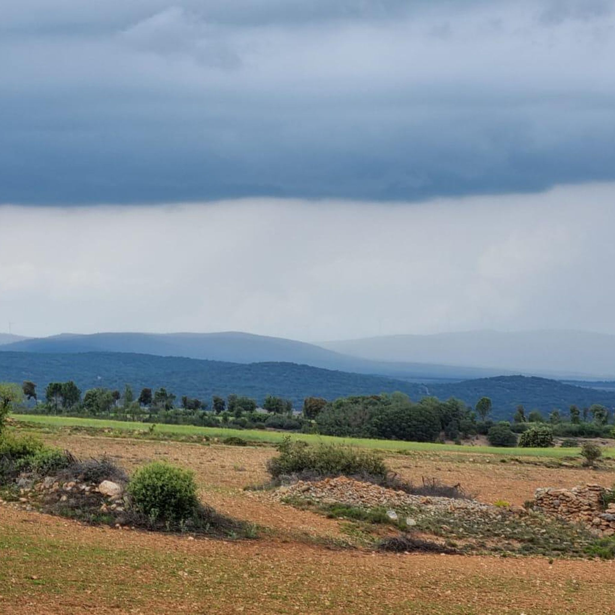
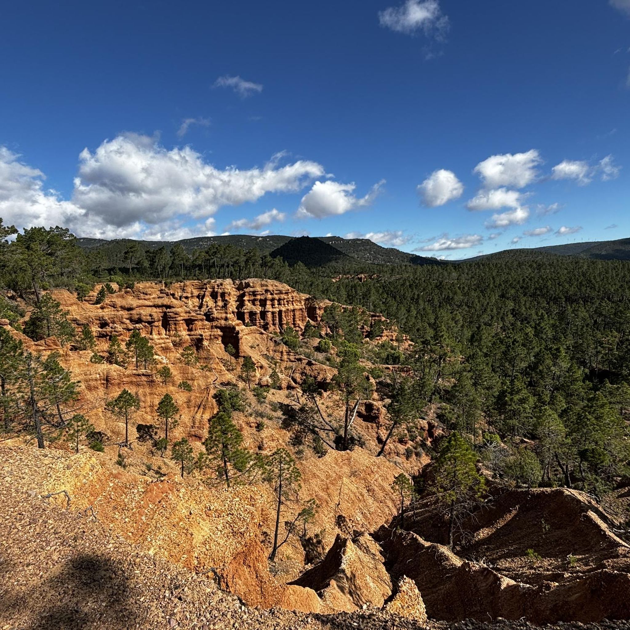
Road cycling routes around Fuentelespino De Moya are set within the Serranía de Cuenca Natural Park, characterized by its varied relief and intricate geological formations. The region features a combination of mountains, deep ravines, and winding river gorges, providing a dynamic experience for cyclists. Extensive pine forests offer shaded routes, while karstic landscapes add unique visual interest. The area benefits from low population density and minimal car traffic, contributing to a peaceful cycling environment.
Best road cycling routes around Fuentelespino…
Last updated: June 28, 2026
8
riders
67.2km
03:20
1,030m
1,030m
This difficult 41.8-mile road cycling route in Parque Natural de la Puebla de San Miguel features the Turia River, Castillo de Moya, and 338
5
riders
153km
07:28
2,310m
2,310m
Hard road ride. Very good fitness required. Mostly well-paved surfaces and easy to ride.

Sign up for free
1
riders
135km
07:02
2,450m
2,450m
This difficult 83.7-mile road cycling route through the Parque Natural de la Puebla de San Miguel offers challenging climbs and expansive vi
20
riders
109km
05:23
1,660m
1,660m
Hard road ride. Very good fitness required. Mostly well-paved surfaces and easy to ride.
13
riders
53.9km
02:30
520m
520m
Moderate road ride. Good fitness required. Mostly well-paved surfaces and easy to ride.
Get access to more routes and recommendations from other explorers.
Sign up for free
Already have an account?
Our route recommendations are based on thousands of hikes, rides, and runs completed by other people on komoot.
Start today with a free account
Your next adventure awaits.
Login or Signup


Tips from the Community

The route descends from the CU-V-5003 road to the Algarra River, offering glimpses of it from within the valley. Along paths parallel to the river, you'll see orchards, tree plantations, and riverside land, some of which is also visible from the access roads and sides of the CU-V-5003.
2
0
16th century Trinitarian Monastery transformed into a charming hotel that offers all the comforts.
6
0

The ruins of the ancient Villa de Moya are one of the main archaeological sites of the Middle Ages. They date back to the 13th century and were declared a historical-artistic monument in 1982.
2
0

Vallanca is a village that is located on the southern slope of a small mountain that reaches 970 meters of altitude. At its feet runs the Río Bohilgues, which originates in a nearby town, Vega, about 2 km south of the town.
0
0
Cardenete is a town located between two rivers, the Río Cabriel and the Río Guadazaón. At the top of the town is the Castle of Cardenete where you can still see its walls.
0
0
As you pass through the center of Villar del Humo, you will find the entrance to Río Vencherque, where you will find the entrance to a small gorge that offers beautiful views of the river.
0
0
In the passage of the Río de los Ojos de Moya we find this beautiful town located at the foot of the valley created by the river and surrounded by mountains on both sides. One of the most characteristic parts is the Monastery of Tejeda which is located to the north of the same nucleus and which had been very important in past times.
0
0

The town of Landete offers many services that make it the ideal place to start your route or take a break and have a delicious snack. The Plaza Mayor is very picturesque, the parish church and the town hall building stand out for their beauty and are usually the social center of the town.
1
1
Frequently Asked Questions
How many road cycling routes are available around Fuentelespino de Moya?
There are over 20 road cycling routes around Fuentelespino de Moya, offering a diverse range of experiences. These include 1 easy route, 10 moderate routes, and 13 difficult routes, catering to various skill levels.
What kind of terrain can I expect when road cycling in Fuentelespino de Moya?
The region, nestled within the Serranía de Cuenca Natural Park, features a dynamic mix of terrain. You'll encounter ascents and descents through mountainous areas, unique karstic formations like those found at 'Ciudad Encantada', and winding river gorges. Extensive pine forests provide shaded sections, while rivers like the Algarra offer more serene, flatter stretches. The landscape is characterized by abrupt reliefs and intricate geological features, ensuring an engaging ride.
Are there routes suitable for beginners or less experienced road cyclists?
Yes, while many routes are challenging, there is at least 1 easy road cycling route available. These routes typically feature less elevation gain and shorter distances, allowing beginners to enjoy the scenic beauty of the area at a comfortable pace.
What are some challenging road cycling routes for experienced riders?
Experienced cyclists will find plenty of challenges, with 13 difficult routes in the area. For instance, the Alto Turia and Collado de las Vigas Loop is a 41.8-mile (67.2 km) route with significant ascents. Another demanding option is the Collado Calderón, Collado de las Vigas, and Puerto del Cabezo Loop, an 83.7-mile (134.8 km) trail leading through challenging mountain passes.
Can I find circular road cycling routes in the area?
Yes, many of the routes around Fuentelespino de Moya are circular, allowing you to start and end in the same location. Examples include the Alto Turia and Collado de las Vigas Loop and the extensive Río Túria by the Embalse de Benagéber and Santa Cruz de Moya — circular from Landete.
What are the best times of year for road cycling in Fuentelespino de Moya?
The spring and autumn months generally offer the most pleasant conditions for road cycling, with milder temperatures and beautiful scenery. Summers can be warm, especially in the midday sun, but cycling through the extensive pine forests can provide welcome shade. Winters are cooler, and some higher elevation routes might be affected by weather conditions.
Are there any notable landmarks or attractions I can see while cycling?
Absolutely. The region is rich in natural and historical attractions. You can incorporate visits to the ancient Old Town of Moya, a significant medieval archaeological site, or the serene Monasterio de Tejeda. The area also offers numerous viewpoints with panoramic vistas of the dramatic landscapes, and the unique karstic formations are a sight to behold.
Is Fuentelespino de Moya suitable for family-friendly road cycling?
While many routes are challenging, the presence of at least one easy route suggests that families with some cycling experience can find suitable options. The low traffic density in the Serranía de Cuenca Natural Park also contributes to a safer and more peaceful environment for family rides, especially on less demanding sections or quieter roads.
What is the traffic like on the roads around Fuentelespino de Moya?
A significant advantage for road cyclists in this area is the low population density and minimal car traffic. This allows for a more peaceful and safer cycling experience, enabling riders to fully appreciate the natural surroundings without constant disruption from vehicles.
Are there options for parking when I go road cycling?
While specific parking facilities for cyclists are not detailed, the low population density of Fuentelespino de Moya and surrounding towns like Landete generally means that finding suitable parking for your vehicle, often in or near village centers, is feasible before starting your ride.
How can I get to Fuentelespino de Moya with my bike using public transport?
Public transport options directly to Fuentelespino de Moya that accommodate bicycles may be limited due to the rural nature of the area. It is advisable to check local bus services or regional train lines for their specific policies regarding bicycle transport, as these can vary. Often, driving to a starting point is the most convenient option for cyclists with their own bikes.
What do other cyclists say about road cycling in this region?
Over 190 road cyclists have used komoot to explore Fuentelespino de Moya's varied terrain. They frequently praise the stunning natural landscapes, the diverse topography offering both challenging climbs and rewarding descents, and the tranquility afforded by the low traffic. The extensive pine forests and unique karstic formations are also often highlighted as memorable aspects of the cycling experience.
Are there any towns or villages along the routes where I can stop for refreshments?
Yes, towns like Landete, with its picturesque main square, and Algarra, could serve as convenient resting points for longer cycling tours. These villages often offer services such as cafes, pubs, or restaurants where you can refuel and take a break.
Most popular attractions around Fuentelespino De Moya

Get inspired with the komoot mobile app


Explore more
Browse the best Road cycling routes in other regions.
