The best running trails around Linares De La Sierra
5.0
(2)
320
runners
63
runs
Jogging routes around Linares De La Sierra are situated within the Sierra de Aracena y Picos de Aroche Natural Park, offering a diverse landscape for runners. The region is characterized by verdant, humid environments with wooded valleys featuring evergreen oak, holm oak, and chestnut trees. Numerous paths and trails wind through this varied terrain, often following rivers and ancient irrigation channels. The area's elevation, around 500 meters above sea level, provides scenic views of the surrounding hills.
Best jogging routes…
Last updated: July 7, 2026
3
runners
11.8km
01:35
410m
420m
Hard run. Very good fitness required. Mostly paved surfaces. Suitable for all skill levels.
14.9km
02:00
430m
430m
Hard run. Very good fitness required. Sure-footedness, sturdy shoes and alpine experience required.

Sign up for free
17
runners
11.8km
01:30
270m
270m
Moderate run. Good fitness required. Mostly paved surfaces. Suitable for all skill levels.
11
runners
17.6km
02:10
440m
440m
Hard run. Very good fitness required. Mostly paved surfaces. Suitable for all skill levels.
14
runners
30.1km
04:00
920m
920m
Hard run. Very good fitness required. Sure-footedness, sturdy shoes and alpine experience required.
Get access to more routes and recommendations from other explorers.
Sign up for free
Already have an account?
Our route recommendations are based on thousands of hikes, rides, and runs completed by other people on komoot.
Start today with a free account
Your next adventure awaits.
Login or Signup
Tips from the Community

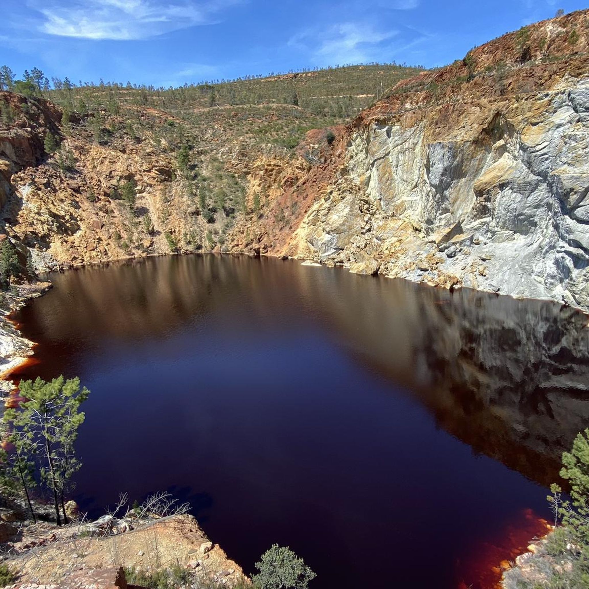
Just as a side note: photography is forbidden in the cave. Unlike others, I also adhered to it.
0
0

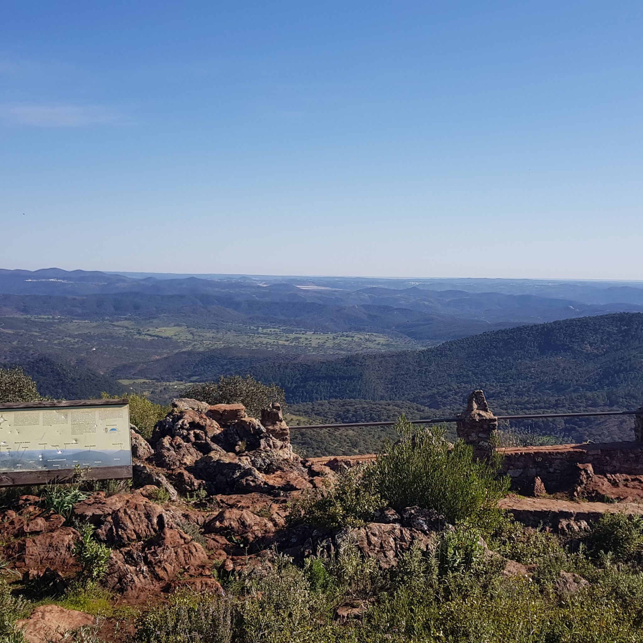
Unfortunately cloudy but the view is magnificent!
0
0

The Camino de Santa Ana to Alájar is a popular hiking route in the Sierra de Aracena and Picos de Aroche, in the province of Huelva. This trail connects the towns of Santa Ana la Real and Alájar, offering a picturesque route through natural landscapes and points of historical interest.😊
3
0
One of the most popular routes to reach Pico La Era begins in the village of Los Marines. This route is relatively easy and has a distance of about 4.3 kilometres, with a maximum gradient of 161 metres. Along the way, hikers can enjoy the typical vegetation of the area, including chestnut trees, holm oaks and strawberry trees. From the top of the peak, you can admire impressive panoramic views, including the geodesic vertex that marks the highest point.
3
0
The great extension of its lakes, the abundance and variety of formations, and the length of its development make this underground complex a complex of great beauty and showiness. This spring of inexhaustible beauty, forged by time on nature itself with the help of elements as simple as water and stone, offers an exceptional set of galleries, halls, lakes and underground courses.
3
0
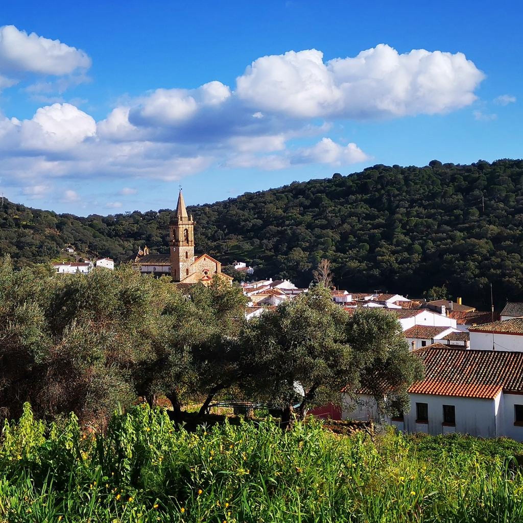
The name of Los Marines has a curious history: during a visit by King Felipe II to the municipality, an inhabitant asked him why, being so powerful, he did not bring the sea to the town. The king's response was: "I will not bring the sea, but you will be sailors." Since then, all the young people of the town performed their military service in Marina Huelva. This picturesque municipality, surrounded by nature and beauty, is an ideal place to explore during a getaway to the Sierra de Huelva. Don't hesitate to visit Los Marines and enjoy its charm.
5
1

A beautiful town in the north of the province of Huelva, nestled in the Sierra de Aracena y Picos de Aroche Natural Park. The historic center of Aracena was declared an Asset of Cultural Interest (BIC) in 1991 due to its important heritage. The other great heritage of Aracena is Jabugo ham, a gastronomic marvel of the Sierra de Huelva.
1
0
Relaxed route without strong climbs.
1
0
Frequently Asked Questions
How many running routes are available in Linares de la Sierra?
There are over 50 dedicated running routes around Linares de la Sierra, offering a wide range of options for joggers. These routes are situated within the beautiful Sierra de Aracena y Picos de Aroche Natural Park.
What kind of terrain can I expect on jogging trails in Linares de la Sierra?
Jogging routes in Linares de la Sierra feature diverse terrain, primarily winding through verdant, humid environments with wooded valleys. You'll encounter evergreen oak, holm oak, acorn, and chestnut trees. Many paths follow streams, rivers, and ancient Moorish irrigation channels (acequias), providing a lush and scenic experience. The area's elevation, around 500 meters above sea level, also offers scenic views of the surrounding hills.
What do other runners say about the jogging routes in Linares de la Sierra?
The running routes in Linares de la Sierra are highly rated by the komoot community, with an average score of 5.0 stars from a few reviews. Over 200 runners have used komoot to explore the varied terrain, often praising the natural beauty and tranquil atmosphere of the trails within the natural park.
Are there any circular running routes in Linares de la Sierra?
Yes, many of the running routes in the area are circular, allowing you to start and end in the same location. For example, the Pico La Era Loop and the Alájar and Santa Ana la Real Loop are popular circular options, offering challenging runs with significant elevation changes and scenic views.
Are there any jogging routes that pass by waterfalls or interesting water features?
Yes, the region is known for its numerous streams and the Arroyo Plamencia, which contribute to the verdant landscape. The ancient acequias (Moorish irrigation channels) also create unique paths. You can find a beautiful Waterfall in the Sierra de Aracena and Picos de Aroche Natural Park, which some routes may pass near or lead to, offering a refreshing element to your run.
What are the typical difficulty levels for running routes in Linares de la Sierra?
The jogging routes in Linares de la Sierra cater to various fitness levels, though the majority are classified as moderate to difficult. There are 20 moderate routes and 30 difficult routes available. Routes like the Pico La Era Loop are considered difficult due to significant elevation changes, while others like the Running loop from Linares de la Sierra offer a moderate challenge.
Can I find family-friendly jogging routes in Linares de la Sierra?
While there are no routes specifically classified as 'easy' for jogging, some of the moderate trails might be suitable for families with older children who are accustomed to running or hiking. The 'Rutas del Agua' mentioned in regional research, for instance, is a moderate 9-kilometer circular route that follows rivers and ancient irrigation channels, providing a lush and scenic experience that could be enjoyable for active families.
Are the running trails in Linares de la Sierra suitable for dogs?
Linares de la Sierra is located within the Sierra de Aracena y Picos de Aroche Natural Park. Generally, dogs are permitted on trails within natural parks, but it's always advisable to keep them on a leash to protect wildlife and ensure the safety of other trail users. Check local park regulations for any specific rules regarding dogs.
What are some notable landmarks or viewpoints I might encounter on a run?
Many routes offer scenic views of the surrounding hills and the natural park. You might pass by the Alájar Viewpoint, offering panoramic vistas. Other nearby attractions include the Arias Montano Peak and the Hermitage of Our Lady of the Angels, or the historic Grotto of the Marvels in Aracena, which could be visited before or after your run.
What is the best time of year for jogging in Linares de la Sierra?
The higher elevation of Linares de la Sierra (around 500-505 meters) provides cooler temperatures than coastal areas, making it pleasant for jogging for much of the year. Spring and autumn are particularly ideal, with mild weather and vibrant natural scenery. Summers can be warm, but early morning or late evening runs are still enjoyable. Winters are generally mild but can be damp.
Are there any longer, more challenging running routes for experienced runners?
Absolutely. For experienced runners seeking a challenge, routes like the Los Marines Village – Alájar Viewpoint loop from Los Marines offer a significant distance of over 23 km with substantial elevation changes. Another demanding option is the Historic Center of Aracena – Aracena town centre loop from Aracena, which is nearly 19 km long and features considerable ascents.
Is there public transport available to reach the jogging trails in Linares de la Sierra?
Linares de la Sierra is a small village, and while public transport options might be limited, it is generally accessible by bus from larger towns like Aracena. It's recommended to check local bus schedules in advance, as services may be infrequent, especially on weekends or holidays. Many visitors prefer to arrive by car for greater flexibility in accessing various trailheads.
Are there places to park near the running routes in Linares de la Sierra?
As a small village, Linares de la Sierra typically has parking available within or on the outskirts of the village, which serves as a common starting point for many trails. For specific trailheads further afield, parking availability can vary, so it's advisable to check route details on komoot or local signage for designated parking areas.
Most popular routes around Linares De La Sierra
Most popular attractions around Linares De La Sierra

Get inspired with the komoot mobile app


Explore more
Browse the best Running Trails & Routes in other regions.
