The best running trails around Cebreros
4.4
(7)
473
runners
82
runs
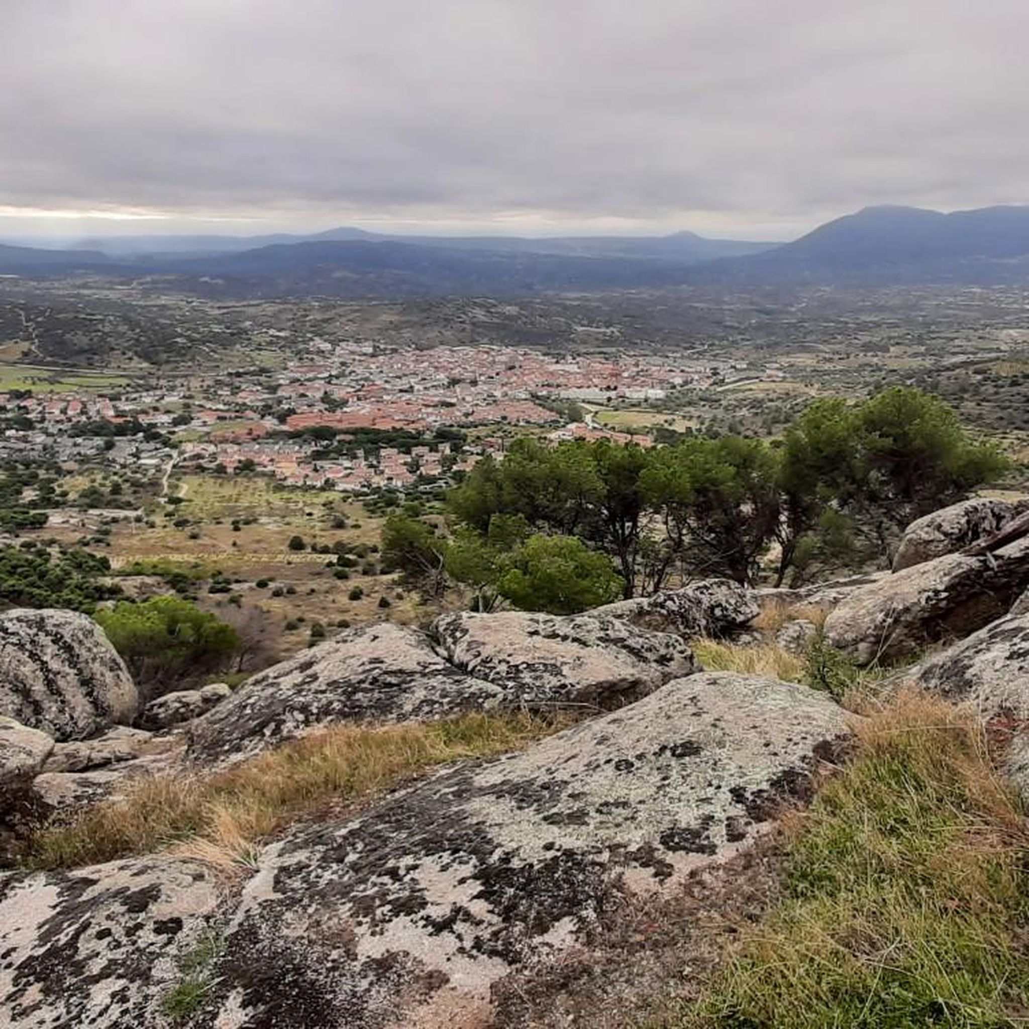
Jogging routes around Cebreros traverse a diverse landscape in the province of Ávila, set at 755 meters above sea level within the Gredos mountains. The region is characterized by rugged terrain, including steep slopes and varied elevations, with the Alberche River flowing through its southern part. Runners can expect paths winding through juniper, pine, and holm oak forests, alongside aromatic shrubs. The area features panoramic views of the Valle del Alberche, the Burguillo reservoir, and the Sierra de Gredos, with…
Last updated: October 28, 2026
36
runners
29.8km
04:22
1,270m
1,270m
Hard run. Very good fitness required. Sure-footedness, sturdy shoes and alpine experience required.
26
runners
31.9km
04:39
1,290m
1,290m
Hard run. Very good fitness required. Sure-footedness, sturdy shoes and alpine experience required.

5
runners
Moderate run. Good fitness required. Mostly paved surfaces.
6
runners
13.1km
01:28
210m
210m
Moderate run. Good fitness required. Mostly paved surfaces.
5
runners
5.54km
00:35
50m
50m
Moderate run. Good fitness required. Mostly paved surfaces.
Get access to more routes and recommendations from other explorers.
Already have an account?
Our route recommendations are based on thousands of hikes, rides, and runs completed by other people on komoot.
Start today with a free account
Your next adventure awaits.
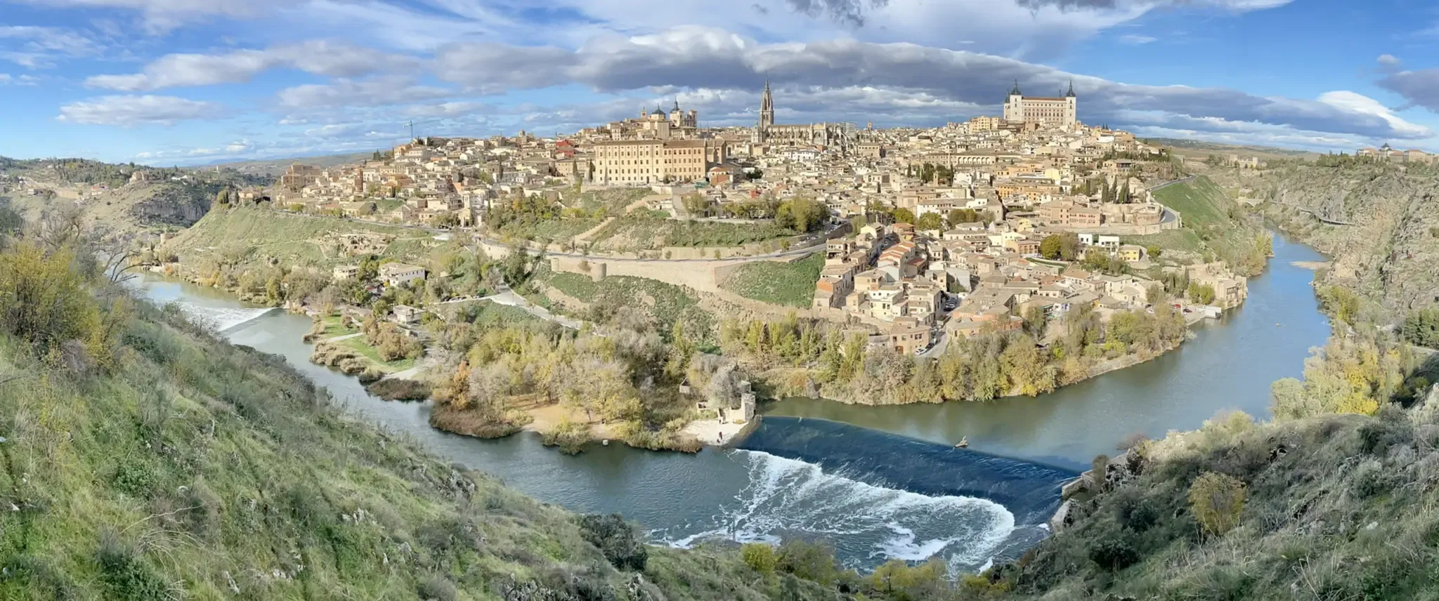
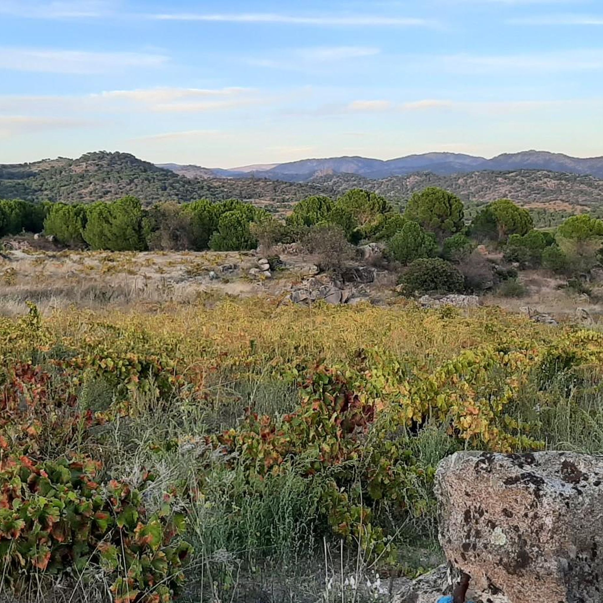
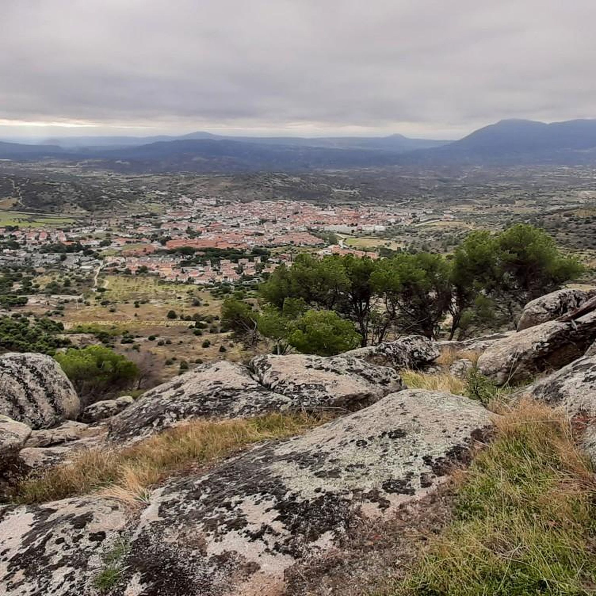

Other adventures around Cebreros

Tips from the Community

The cycle trip continues along the lane of the Jacobean route until it connects with the Cebreros highway. The route continues along the side of the road, passing through the popular port of Arrebatacapas and another descent to Cebreros, a mountain town with a wine-growing tradition that would be a good place to finish the second stage when organized as a three-day trip. The Camino de Levante descends from the port along a mountain path that is quite technical and difficult by bicycle, suitable for trail experts and everyone can choose. The path begins next to the port sign and ends where the road enters the urban complex. The track goes down the road, crosses the town and continues the descent along the old Camino Real de Toledo, used by the funeral procession of Isabel la Católica when they carried her remains from Medina del Campo to Granada. At the Cebreros exit there are remains of the old medieval road and on the Alberche River there are the monumental bridges of Valsordo and Santa Yusta, used since Roman times, although they have undergone several reconstructions throughout history. The climb coincides with the last arrows of the Camino de Levante and deviates through the Puente Nuevo urbanization towards San Martín de Valdeiglesias, following the markings of the GR-10 long-distance path, with several hard ramps on the Camino de la Aliseda.
0
0

From this point there are very nice and wide views of the town of Cebreros and in the background, Cerro Guisando, one of the last mountains of the Sierra de Gredos on the east side.
1
0
In the Alberche Valley there is this beautiful bridge that crosses the Río Becedas and is of Roman origin made with stones from the area. It's worth getting there!
1
0
Small stone bridge that goes over the Arroyo de la Pizarra. The path that passes near the bridge is called Camino Rasueros.
1
0
Basically irregular ascent, with almost 11 kilometres, which is located on the road that connects Cebreros with San Bartolomé de Pinares. After this point on the road there are ramps going up and down until completing the 11 km.
0
0

The port is about six kilometers long and slopes of 10%. You can enjoy the views that you get during the climb, since it is a paved road with very little traffic.
0
0
Frequently Asked Questions
How many running routes are available around Cebreros?
There are over 45 running routes available around Cebreros on komoot, catering to various fitness levels. These include 2 easy routes, 16 moderate routes, and 27 difficult routes, offering a wide range of options for runners.
What kind of terrain can I expect on the jogging trails in Cebreros?
The jogging trails in Cebreros are characterized by rugged terrain and varied elevations, as the region is situated at 755 meters above sea level within the Gredos mountains. You'll find paths winding through juniper, pine, and holm oak forests, often with aromatic shrubs. Expect both gradual climbs and demanding ramps, offering a diverse and challenging running experience.
Are there any running routes with panoramic views in Cebreros?
Yes, many running routes in Cebreros offer stunning panoramic views. The region boasts vistas of the Valle del Alberche, the Burguillo reservoir, and the majestic Sierra de Gredos. Trails ascending to peaks like Cabeza de la Parra, such as the Cabeza de la Parra – Castañar del Tiemblo loop from El Tiemblo, provide exceptional 360-degree views of the surrounding landscapes.
Are there any family-friendly running trails in Cebreros?
While many routes in Cebreros feature rugged terrain, there are options suitable for families looking for a less strenuous run. Look for the easy and moderate difficulty routes, which tend to have gentler elevation profiles. For example, the Burguillo Reservoir – El Burguillo Reservoir loop from El Tiemblo is a moderate 10.8 km path with relatively gentle elevation, offering pleasant views of the reservoir.
What natural features can I see along the running routes in Cebreros?
Along the running routes, you can experience diverse natural features. The landscape includes juniper, pine, and holm oak forests, as well as abundant aromatic shrubs like thyme and cantueso. You'll also encounter the Alberche River, the Burguillo reservoir, and unique periglacial reliefs, especially around areas like Cabeza de la Parra.
Are there any circular running routes in Cebreros?
Yes, many of the running routes in Cebreros are circular, allowing you to start and finish in the same location. An example of a challenging circular route is the Historic center of Cebreros – Puerto de Arrebatacapas loop from Cebreros, which covers 30.8 km. For a moderate option, consider the Embalse Hoyo de Becedas I – Embalse Hoyo de Becedas II loop from El Hoyo de Pinares.
What do other runners say about the trails in Cebreros?
The running trails in Cebreros are highly rated by the komoot community, with an average score of 4.0 stars. Over 300 runners have used komoot to explore the area, often praising the varied terrain, challenging climbs, and spectacular views from the summits and viewpoints.
Are there any specific landmarks or points of interest near the running trails?
Yes, several interesting landmarks and points of interest are located near the running trails. You might encounter the historic Navahonda Hermitage, the scenic Alberche Greenway, or the impressive El Abuelo Chestnut Tree. For unique views, consider routes passing by Views of Cebreros and Cerro Guisando.
What is the best season for running in Cebreros?
Cebreros offers good running opportunities throughout much of the year. However, due to its high altitude and rugged terrain, spring and autumn are generally ideal, providing pleasant temperatures and vibrant natural scenery. Summers can be warm, especially at lower elevations, while winters might present colder conditions and potentially snow at higher points in the Gredos mountains.
Are there any easy running routes for beginners in Cebreros?
Yes, while Cebreros is known for its challenging terrain, there are a few easier options suitable for beginners or those looking for a more relaxed run. Komoot lists 2 easy routes and 16 moderate routes. These typically feature less elevation gain and shorter distances, allowing for a more comfortable introduction to running in the region.
Can I find routes that pass by reservoirs or water bodies?
Absolutely. The region is home to the Burguillo reservoir and the Alberche River. The Burguillo Reservoir – El Burguillo Reservoir loop from El Tiemblo is a popular moderate route that offers continuous views of the reservoir. You can also find the Picadas Reservoir nearby, which may be incorporated into some longer routes.
What are some challenging running routes for experienced runners in Cebreros?
Experienced runners will find plenty of challenging options in Cebreros, with 27 difficult routes available. The Historic center of Cebreros – Puerto de Arrebatacapas loop from Cebreros is a demanding 30.8 km trail with significant elevation gains. Another tough option is the San Gregorio Trail loop from El Tiemblo, which covers 19.4 km through varied natural settings.
Most popular attractions around Cebreros

Get inspired with the komoot mobile app


Explore more
Browse the best Running Trails & Routes in other regions.
