The best running trails around Bolvir
4.6
(46)
3,723
runners
12
runs
Jogging routes around Bolvir are set in the Cerdanya valley, at an altitude of 1,145 meters, offering a diverse landscape for runners. The region is characterized by views of the Cadí mountains and paths that wind through forests and alongside water channels. Terrain varies from accessible paved sections to more challenging routes with elevation changes, catering to different fitness levels.
Best jogging routes around Bolvir
- The most popular jogging route is Path of the Good Men, a 6.9 miles…
Last updated: June 22, 2026
28
runners
17.9km
01:51
110m
110m
Hard run. Very good fitness required. Mostly paved surfaces. Suitable for all skill levels.
22
runners
Moderate run. Good fitness required. Mostly paved surfaces. Suitable for all skill levels.

Sign up for free
15
runners
5.83km
00:41
120m
120m
Moderate run. Good fitness required. Mostly paved surfaces. Suitable for all skill levels.
8
runners
6.86km
00:43
50m
50m
Moderate run. Good fitness required. Mostly paved surfaces. Suitable for all skill levels.
8
runners
13.5km
01:33
90m
90m
Moderate run. Good fitness required. Mostly accessible paths. Some sure footedness required.
Get access to more routes and recommendations from other explorers.
Sign up for free
Already have an account?
Our route recommendations are based on thousands of hikes, rides, and runs completed by other people on komoot.
Start today with a free account
Your next adventure awaits.
Login or Signup

Tips from the Community

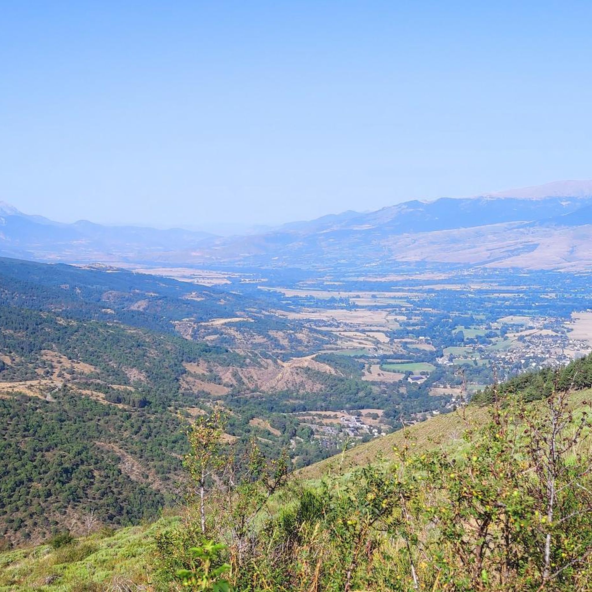
It is a very narrow road, with the asphalt in perfect condition, that connects Sanavastre with Fontanals. I usually use it as part of my journey to Puigcerdà / France from Prats as alternatives to the 2 main roads with a lot of traffic (the one that goes through Alp and the national road that comes from Bellver de Cerdaña). Highly recommended because it also has very good views.
0
0

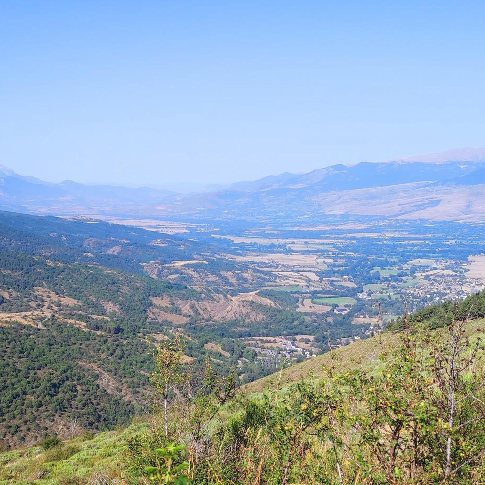
Rural road from Sarravastre towards Bollvir, avoiding the main roads. It allows you to observe the two landscapes of Cerdanya, the rural one, farms, livestock, and the playful and luxurious, golf courses. Following the rural road you can make a complete turn around the Altiplà and reach Puigcerdà.
1
0

Romanesque religious sanctuary of the town of Sanavastre, in the municipality of Das. Church protected as a cultural asset of local interest. It has a single nave, with a barrel arch and two semicircular side chapels.
0
0
Romanesque religious sanctuary dating from the 11th century, located in the town of Soriguerola, belonging to the municipality of Fontanals de Cerdanya. It is documented in the will of count Wifredo II de Cerdaña, from the year 1035, in which he leaves Soriguerola and its church to his wife.
0
0


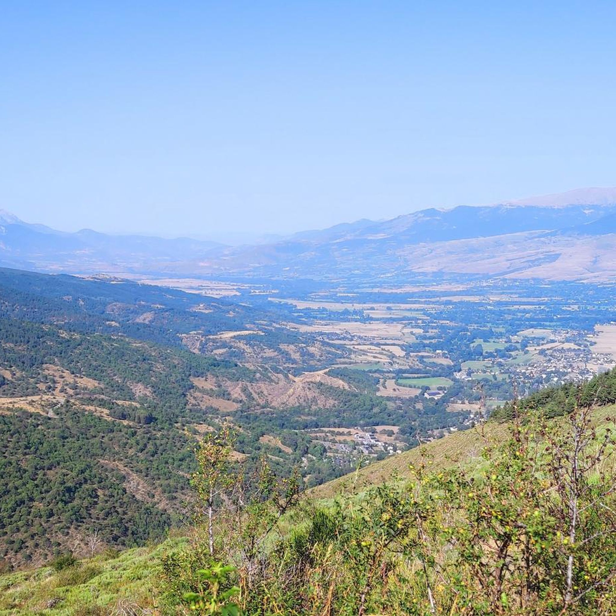
small cross road, without traffic and in the middle of fields. a real treat !
1
0


Bridge to cross the River Segre at Altitude of All and Sanavastre.
0
0
Frequently Asked Questions
How many running routes can I find around Bolvir?
Bolvir offers a wide selection of running routes, with over 300 different trails available. These routes cater to various fitness levels, from easy strolls to more challenging long-distance runs.
Are there easy jogging paths suitable for beginners or families in Bolvir?
Yes, Bolvir has several easy jogging paths. The region is known for its 'healthy itineraries,' with routes like the Water path in Bolvir offering a pleasant 5.18 km walk through forests with minimal elevation gain. These are ideal for beginners or families looking for a relaxed run.
Can I find circular running routes in the Bolvir area?
Absolutely. Many of the jogging routes around Bolvir are circular, allowing you to start and finish in the same location. For example, the Path of the Good Men is a moderate 11.1 km loop, and the Sant Miquel de Soriguerola loop from Bolvir is another great option.
What kind of scenery can I expect on the jogging trails in Bolvir?
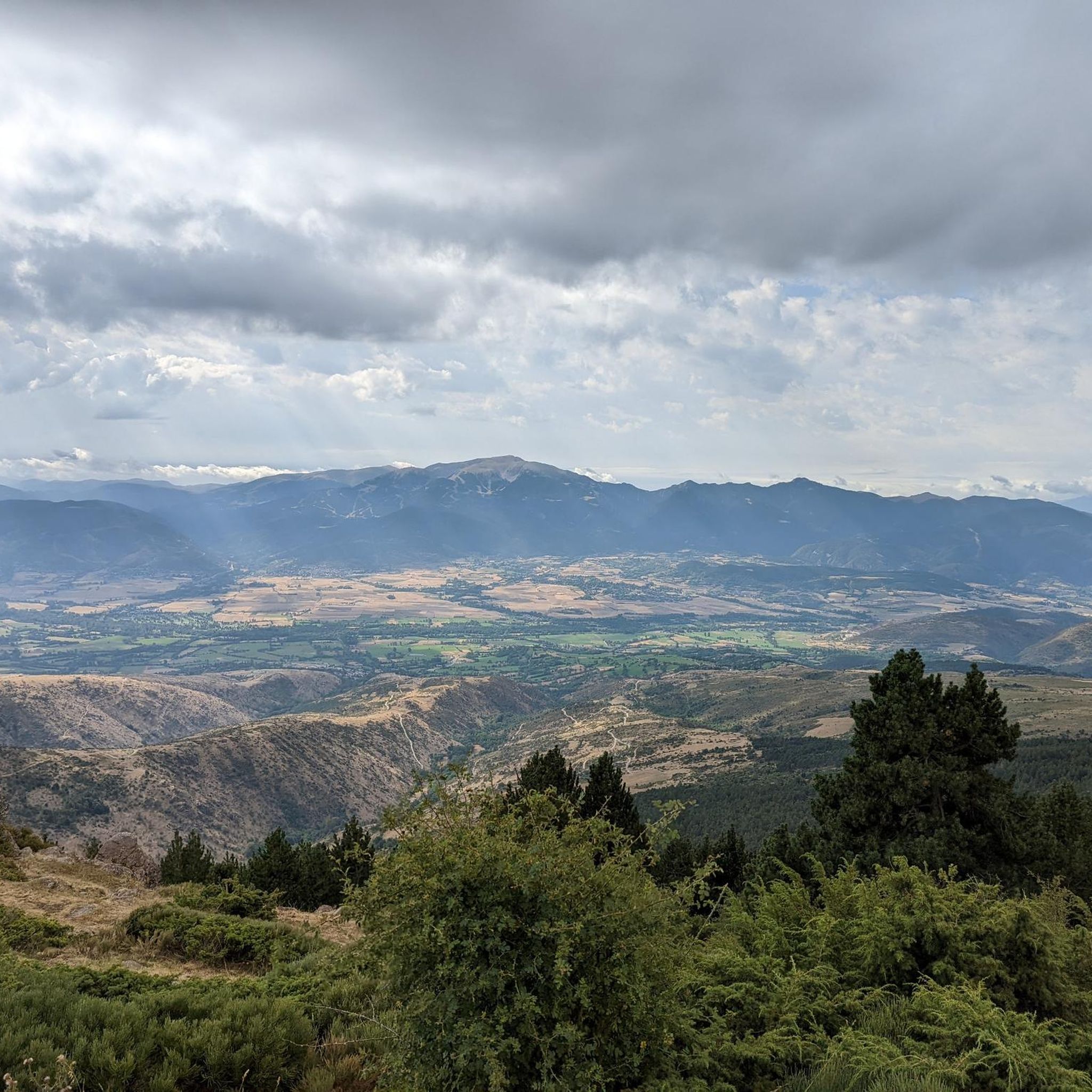
Jogging in Bolvir offers stunning natural scenery. You'll enjoy splendid views of the Cadí mountains, paths winding through beautiful forests, and routes that run alongside water channels. The Cerdanya valley provides a diverse landscape, from open countryside to shaded woodland paths.
Are there any notable landmarks or attractions I can see while running in Bolvir?
Yes, you can incorporate historical and natural landmarks into your run. The historic center of Bolvir features charming mountain houses and the Romanesque Church of Santa Cecília. You might also pass by the Remei Sanctuary. For natural sights, consider routes that offer views of the Puigpedrós Summit or the Waterfall of the Montmelús Stream.
Are the running routes in Bolvir dog-friendly?
Many outdoor trails in the Bolvir region are generally dog-friendly, especially those away from urban centers. However, it's always recommended to keep your dog on a leash, especially in areas with livestock or protected wildlife. Check specific route details on komoot for any restrictions.
What are the typical elevation changes on jogging routes around Bolvir?
Bolvir's terrain is quite varied. While some routes, like the Water path in Bolvir, have minimal elevation gain (around 73 meters), others can be more challenging. Some trails in the broader Cerdanya valley can involve significant elevation changes, catering to those looking for a more intense workout.
Where do most jogging routes in Bolvir start from?
Many of Bolvir's 'healthy itineraries' and signposted routes, including those suitable for jogging, often start from Parc de la Salut in Font de la Vall. Other routes might begin from the Chapel of Remei or other points within the village, allowing easy access to the surrounding trails.
What do other runners say about jogging in Bolvir?
The running routes in Bolvir are highly rated by the komoot community, with an average score of 4.6 stars from over 40 reviews. Runners often praise the diverse landscape, the stunning mountain views, and the well-maintained trails that offer a mix of challenges and scenic beauty.
Are there any longer, more challenging running options in Bolvir?
Yes, for those seeking a greater challenge, Bolvir offers longer and more difficult routes. The Soler Bridge (Segre River) – Pla de Canters Road loop from Bolvir is a difficult 17.9 km path, and the Sant Miquel de Soriguerola – Path (Estoll-Soriguerola) loop from La Cerdanya Aerodrome offers another substantial run of 11.4 km.
Is public transport available to access jogging trails in Bolvir?
Bolvir is a small town in the Cerdanya valley. While local bus services connect some villages, direct public transport access to specific trailheads might be limited. It's often most convenient to start routes directly from the town center or use a car to reach more remote starting points.
What is the best time of year to go running in Bolvir?
Bolvir, nestled in the sunniest corner of the Cerdanya valley, is generally pleasant for running for much of the year. Spring and autumn offer mild temperatures and vibrant scenery. Summer mornings and evenings are also ideal to avoid the midday heat. Winter can be beautiful, but some higher elevation trails might require snowshoes or be inaccessible depending on conditions.
Most popular attractions around Bolvir

Get inspired with the komoot mobile app


Explore more
Browse the best Running Trails & Routes in other regions.
