The best running trails around Aielo De Rugat
4.9
(14)
909
runners
49
runs
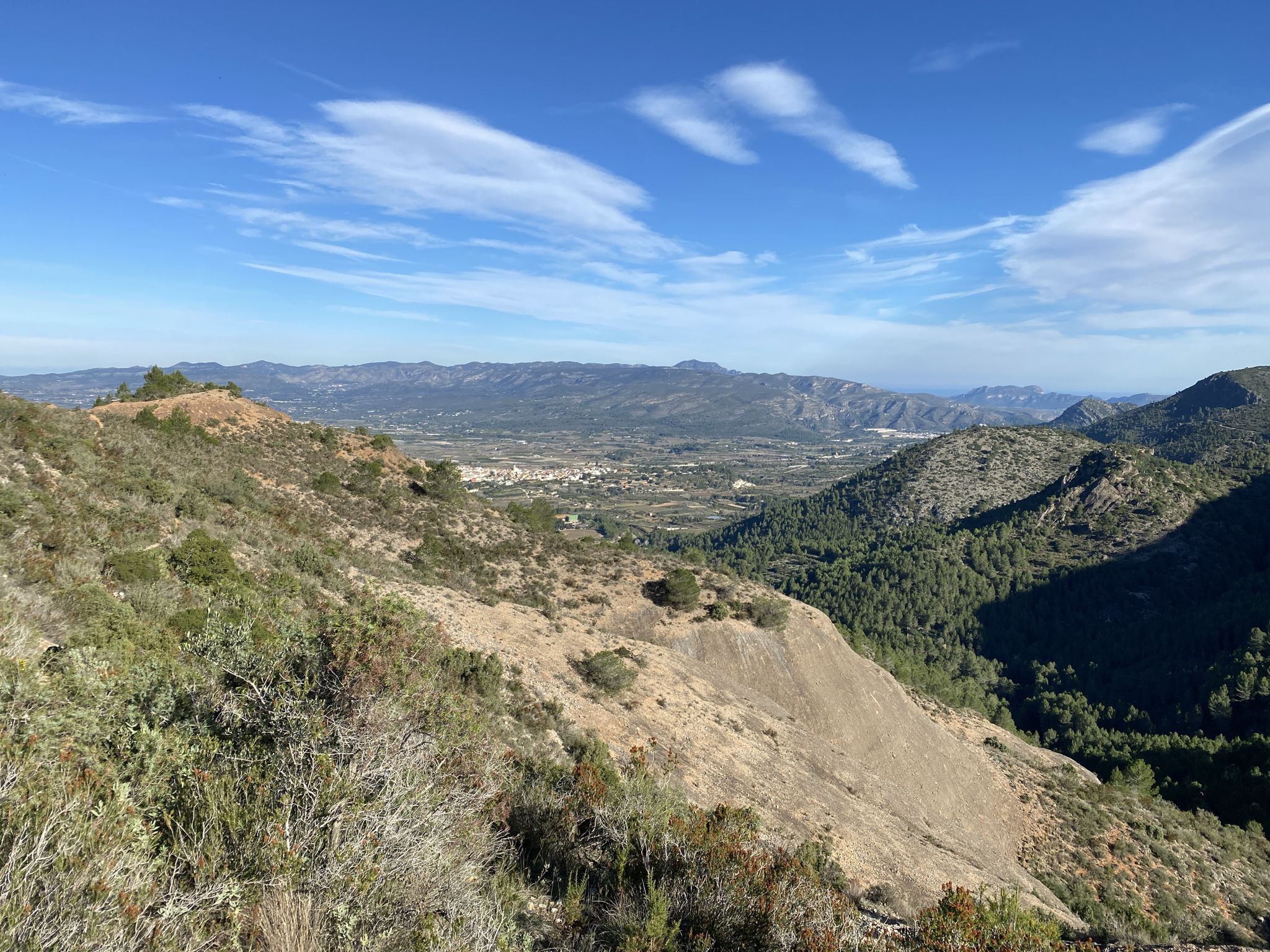
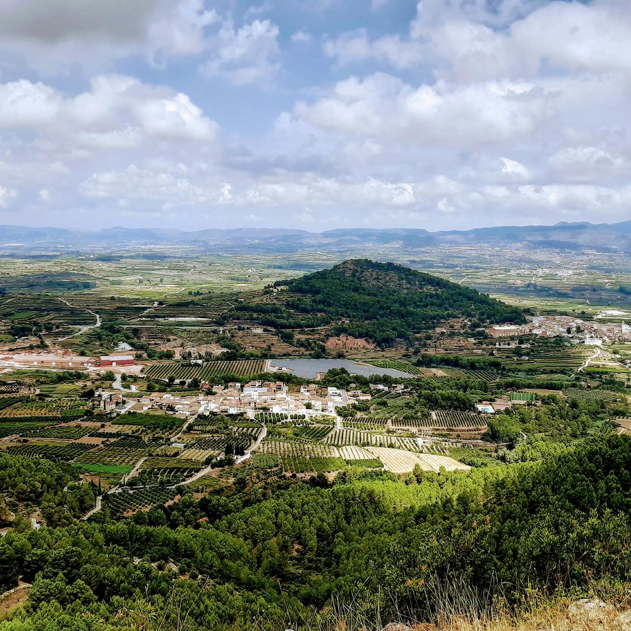
Jogging routes around Aielo De Rugat traverse a landscape characterized by significant elevation changes, including mountain summits and elevated areas. The region features established paths like the Vía Verde del Serpis, offering varied terrain for runners. With numerous challenging trails, Aielo De Rugat provides opportunities for runners seeking demanding ascents and scenic views.
Best jogging routes around Aielo De Rugat
- The most popular jogging route is Running from Lorxa by the Vía Verde del Serpis, a 12.3 miles (19.8…
Last updated: October 25, 2026
21
runners
19.8km
02:14
410m
420m
Hard run. Very good fitness required. Mostly paved surfaces.
5.0
(1)
79
runners
27.7km
04:33
1,330m
1,330m
Hard run. Very good fitness required. Sure-footedness, sturdy shoes and alpine experience required.

53
runners
36.3km
05:35
1,490m
1,490m
Hard run. Very good fitness required. Sure-footedness, sturdy shoes and alpine experience required.
50
runners
12.7km
01:58
530m
530m
Hard run. Very good fitness required. Sure-footedness, sturdy shoes and alpine experience required.
6
runners
16.7km
02:40
740m
740m
Hard run. Very good fitness required. Sure-footedness, sturdy shoes and alpine experience required.
Get access to more routes and recommendations from other explorers.
Already have an account?
Our route recommendations are based on thousands of hikes, rides, and runs completed by other people on komoot.
Start today with a free account
Your next adventure awaits.

Other adventures around Aielo De Rugat

Tips from the Community

La ruta de la Via Verda del Serpis es troba en un preciós congost d'este riu als peus de la Serra de la Safor. És un recorregut senzill i interessant, esguitat de ponts, rescloses, túnels i antigues construccions ferroviàries, però en alguns trams s'ha convertit en una pedrera. També es coneix per ser el traçat de l'antic Tren dels Anglesos.
1
0

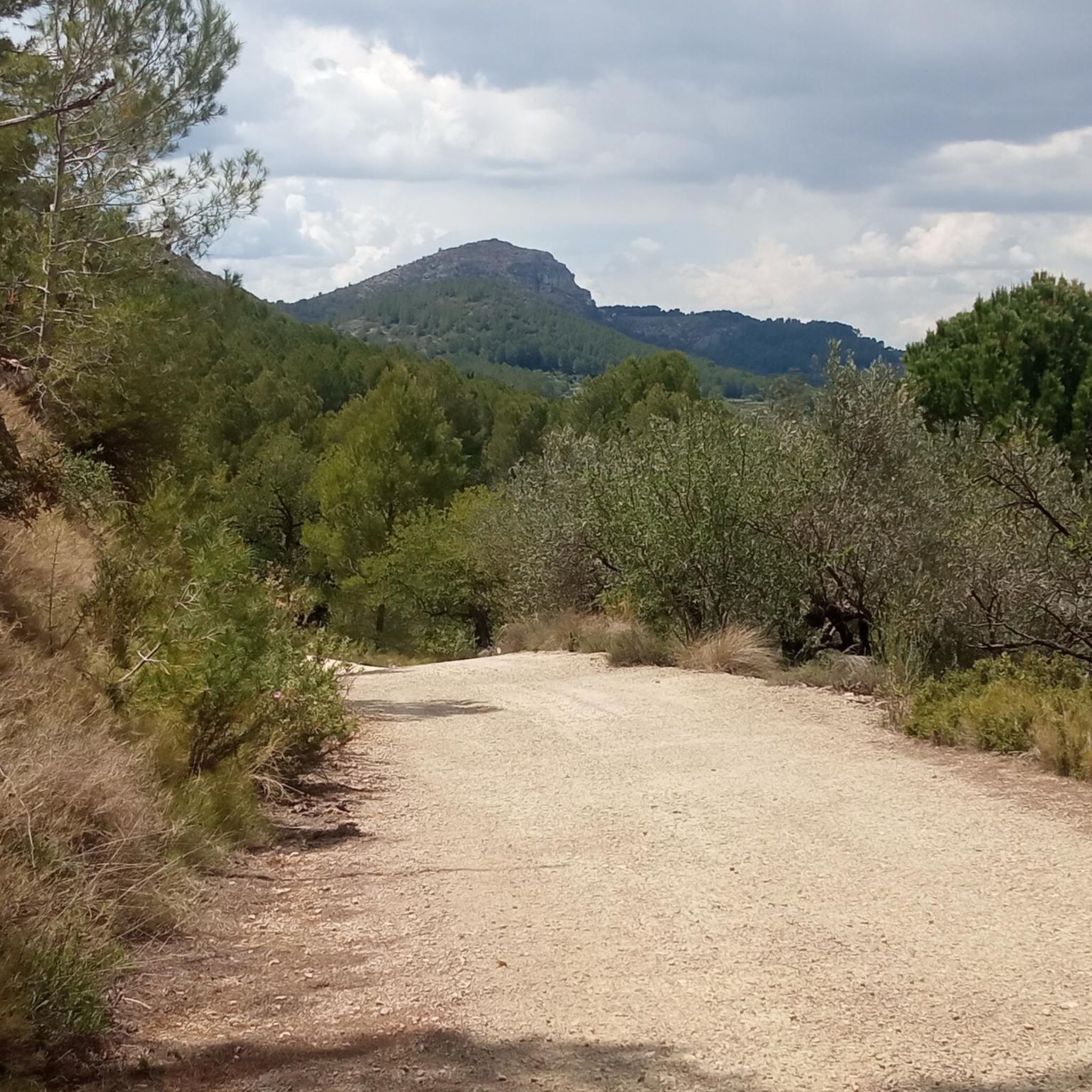
Incredibly beautiful scenery. The path is mostly gravel and you should have decent tires.
3
1

A really colorful stage in which the stretch that separates Villalonga from Lorxa crosses a valley along the Serpis river, the old railway line that connected the towns of Gandía and Alcoy.
2
1
Via Verde cycle path for tourists and locals as an attraction.
2
1

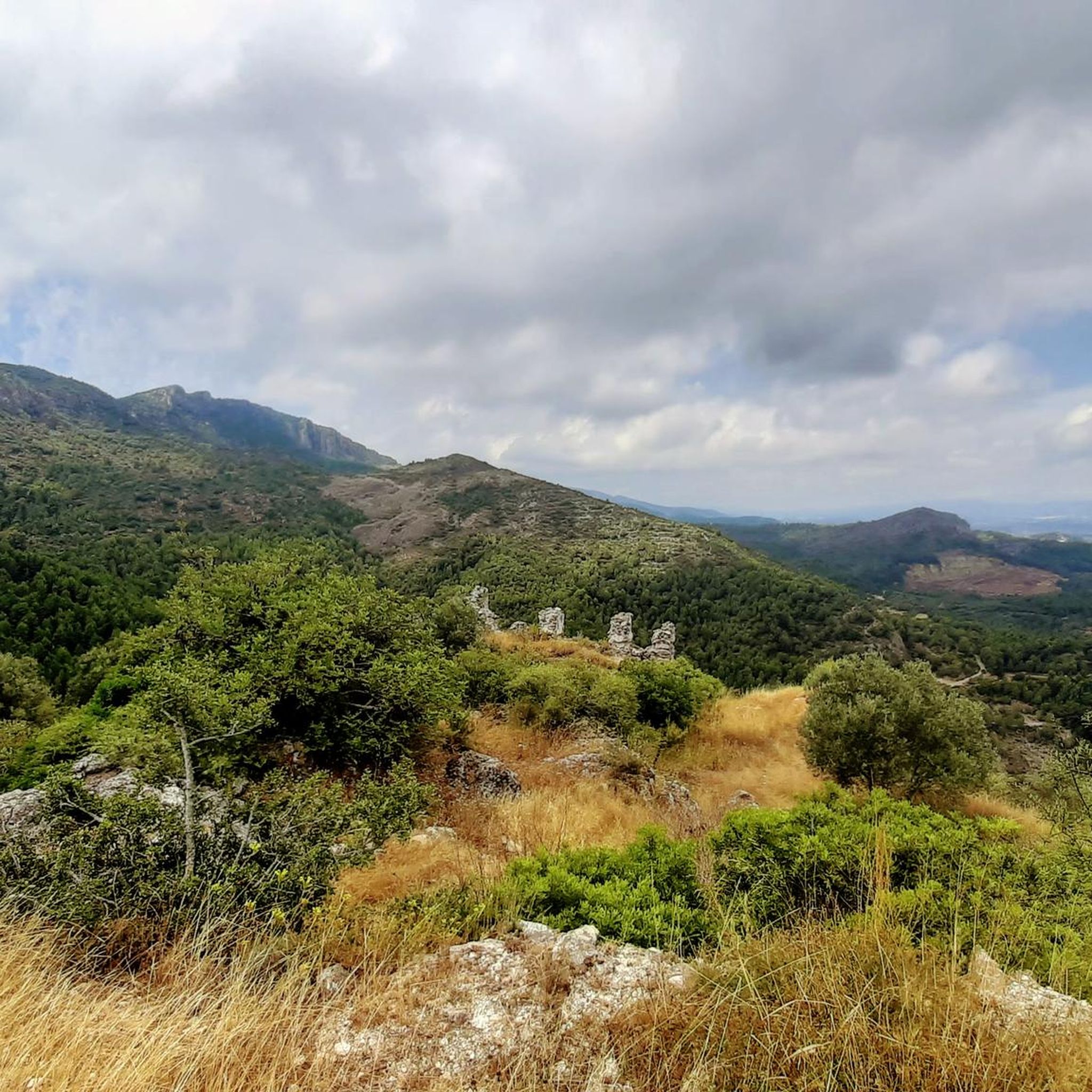
The yellow and white markings of the PR-43 are old in some sections and the paint is somewhat blurred. It is important to follow the track and be aware of the route on the rocky ground. The area at the end is somewhat confusing due to the trees, but the summit is close and at the end the geodesic vertex appears between the holm oaks. The most suggestive views are towards the coast and the horizon of the Mediterranean. The exit from the top is directly to the north, although it is a bit scary because of the slope and the slippery ground. The path is clear, slightly slopes the slope of the mountain and goes down to Pla de la Nevera, where the Nevera de la Safor is, an old traditional construction to store snow during the winter. In the meadow there is a post with indications of the trails. The route follows the direction of L'Orxa and Font dels Olbits along the PR-43. The path passes the entrance to Avenc del Manco and goes up a small hill to leave the Pla de la Nevera hollow. The descent is long, technical and hard, the path has a lot of loose stones and in several sections it is quite steep. And from time to time different options appear but they all have the purpose of going down the mountain and they always come together again.
0
0

The Via Verde runs along the Serpis River and is one of the most colorful and entertaining routes in the Valencian Community. Following the old railway route that has now been converted, you will find waterfalls, weirs, old railway buildings and tunnels that make for a very entertaining tour.
5
1
Top of Benicadell with incredible views in all directions. Going up from the Ombría path, it is an ascent with some technical difficulty but it can be reached without problems, especially when descending, with caution. Undoubtedly a point to visit for those who like views from the top!
3
0

Beautiful views from the Alt del Benicadell and the geodesic point.
10
2
Frequently Asked Questions
Are there running routes suitable for beginners in Aielo De Rugat?
Aielo De Rugat's terrain is characterized by significant elevation changes, making most running routes moderately to very challenging. While there are 11 moderate routes, there are no easy routes listed in the area, so beginners should be prepared for demanding ascents and descents. It's advisable to check the difficulty level of individual routes before heading out.
What is the typical length and duration of running trails in Aielo De Rugat?
Running trails in Aielo De Rugat vary significantly in length and duration. For example, the Running from Lorxa by the Vía Verde del Serpis is about 12.3 miles (19.8 km) and takes around 2 hours 14 minutes, while the Crossing – Benicadell Summit loop from Ráfol de Salem is a longer 17.2 miles (27.7 km) route. You'll find options ranging from shorter, moderate loops to extensive, difficult mountain ascents.
Are there any circular running routes available in the Aielo De Rugat area?
Yes, Aielo De Rugat offers several circular running routes. A popular option is the Crossing – Benicadell Summit loop from Ráfol de Salem, which provides a challenging ascent and expansive views. Another is the Alt de la Nevera – la Capella loop from Ráfol de Salem, leading through elevated terrain and historical points.
What kind of scenery can I expect on the jogging routes around Aielo De Rugat?
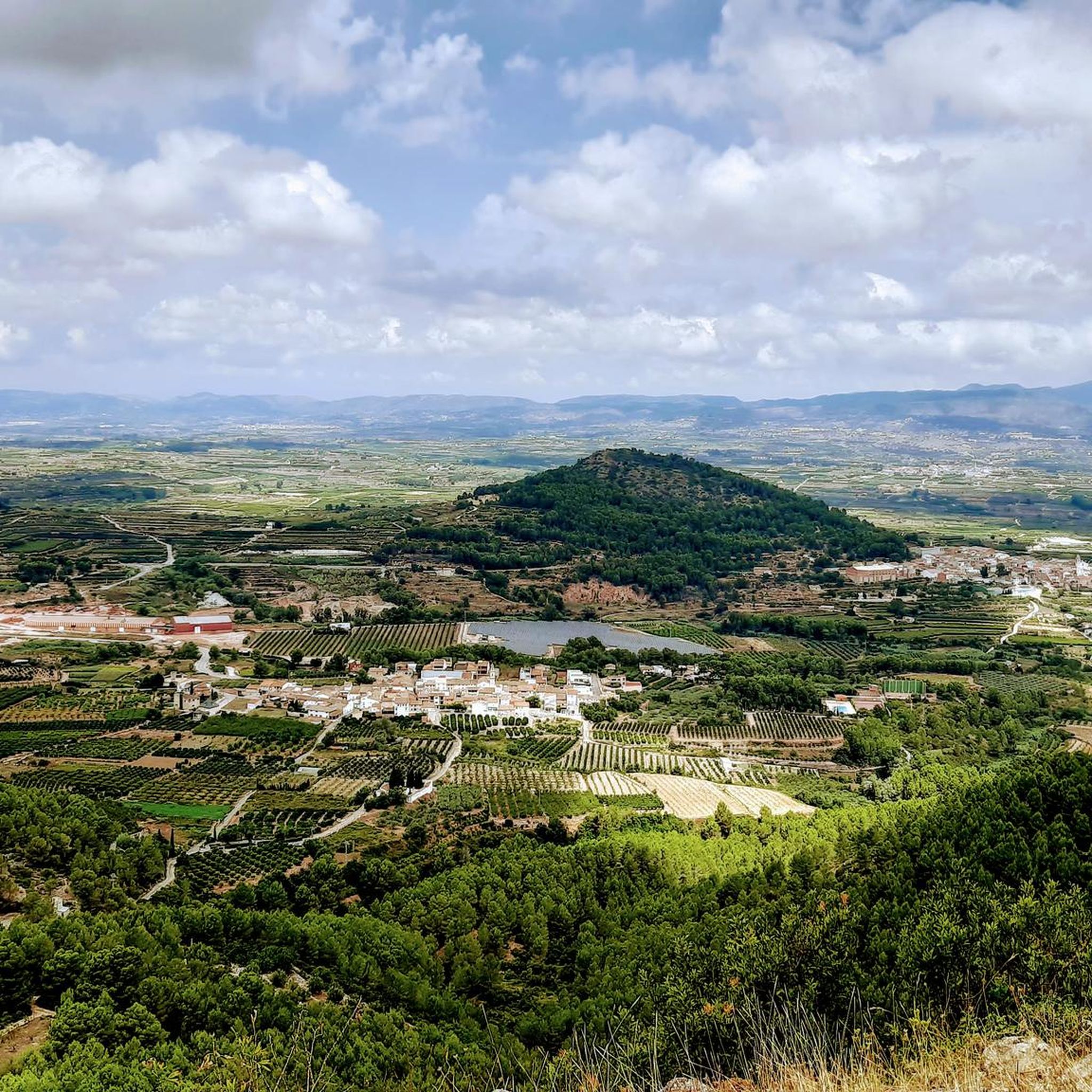
Jogging routes in Aielo De Rugat offer diverse and scenic landscapes. You'll encounter greenways, such as sections of the Vía Verde del Serpis, and experience significant elevation changes leading to mountain summits and elevated areas. Many routes provide expansive views, especially from peaks like Alt de Benicadell or Cim de la Safor.
What do other runners say about the trails in Aielo De Rugat?
The running routes in Aielo De Rugat are highly regarded by the komoot community, with an average rating of 4.8 stars from over 8 reviews. Runners often praise the challenging nature of the trails, the rewarding mountain views, and the varied terrain that includes both greenways and demanding ascents.
Are the jogging routes in Aielo De Rugat suitable for families?
Given the prevalence of difficult routes and significant elevation changes, many of the jogging trails in Aielo De Rugat may not be ideal for families with young children or those seeking very easy, flat paths. There are no easy routes listed, and only a limited number of moderate options. Families should carefully review route difficulty and elevation profiles before choosing a trail.
Can I bring my dog on the running trails in Aielo De Rugat?
While many natural trails in Spain are dog-friendly, it's always best to check local regulations for specific routes or protected areas. Generally, dogs are welcome on a leash, but some areas, especially nature reserves or private lands, might have restrictions. Always ensure your dog is well-behaved and that you clean up after them.
What are some notable landmarks or points of interest along the running routes?
The region around Aielo De Rugat is rich in natural landmarks. You can find impressive peaks like Penya Foradà, Alt de Benicadell, and Cim de la Safor. Some routes also pass by huts and refuges, such as the Benicadell Forest Hut or La Bastida Refuge, which can offer scenic viewpoints or rest stops.
How many running routes are available in the Aielo De Rugat area?
There are approximately 48 running routes available around Aielo De Rugat. These routes range from moderate to difficult, offering a variety of challenges for runners looking to explore the region's mountainous terrain and greenways.
What should I consider when running in Aielo De Rugat during summer?
Aielo De Rugat, located in Spain, can experience very hot temperatures during the summer months. It's crucial to start your runs early in the morning or late in the evening to avoid the midday heat. Always carry plenty of water, wear appropriate sun protection (hat, sunscreen), and choose routes with some shade if possible. Be aware of your limits and listen to your body to prevent heat exhaustion.
Are there any cafes or facilities near the running trails in Aielo De Rugat?
Aielo De Rugat is a rural area, and while specific cafes directly on every trail might be limited, you will find amenities in the main town of Aielo De Rugat and surrounding villages like Ráfol de Salem. It's advisable to plan your route to pass through or start near these settlements if you anticipate needing refreshments or facilities.
What is the best time of year to go jogging in Aielo De Rugat?
The spring (March to May) and autumn (September to November) months are generally considered the best times for jogging in Aielo De Rugat. During these seasons, temperatures are milder and more comfortable for physical activity, and the natural scenery is often at its most vibrant. Summers can be very hot, and winters, while generally mild, can bring cooler temperatures at higher elevations.
Most popular routes around Aielo De Rugat
Most popular attractions around Aielo De Rugat

Get inspired with the komoot mobile app


Explore more
Browse the best Running Trails & Routes in other regions.
