The best road cycling routes around Lliçà D'Amunt
4.4
(268)
20,364
riders
138
rides
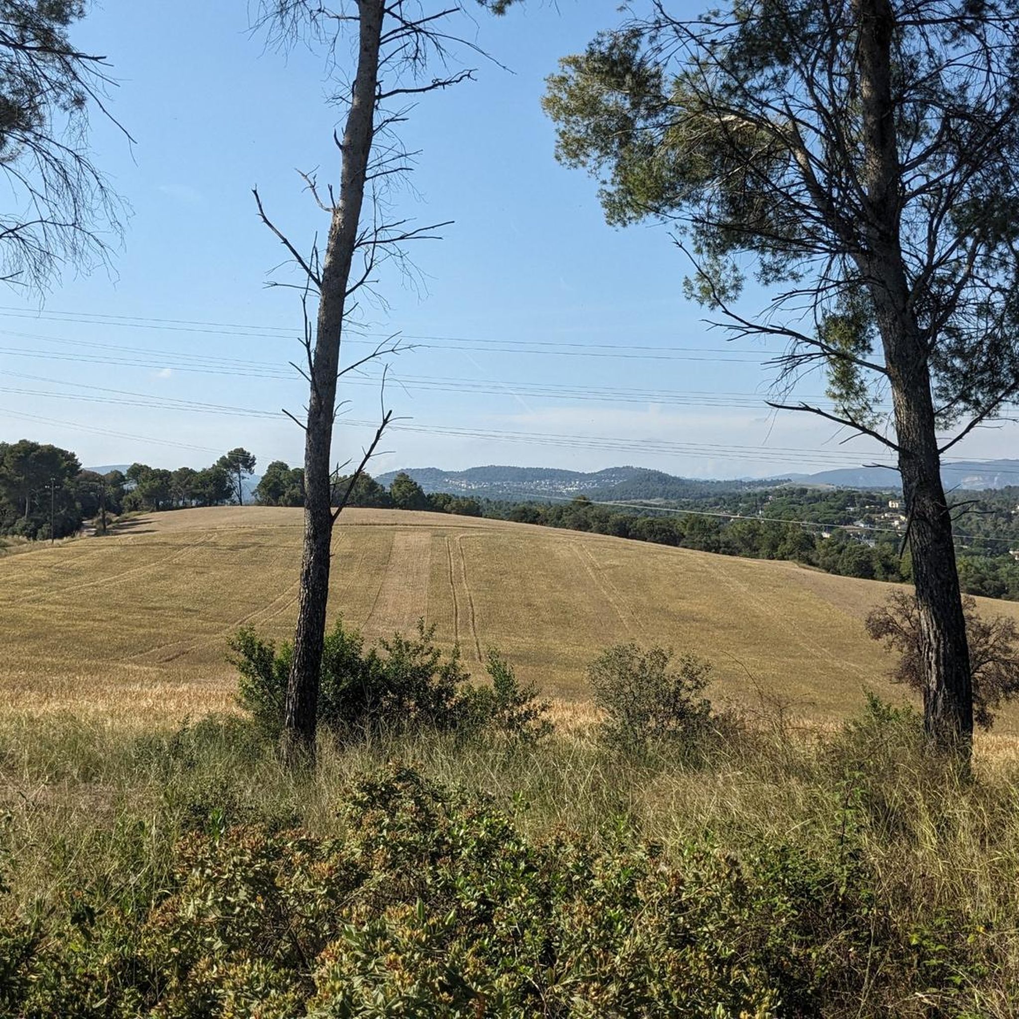
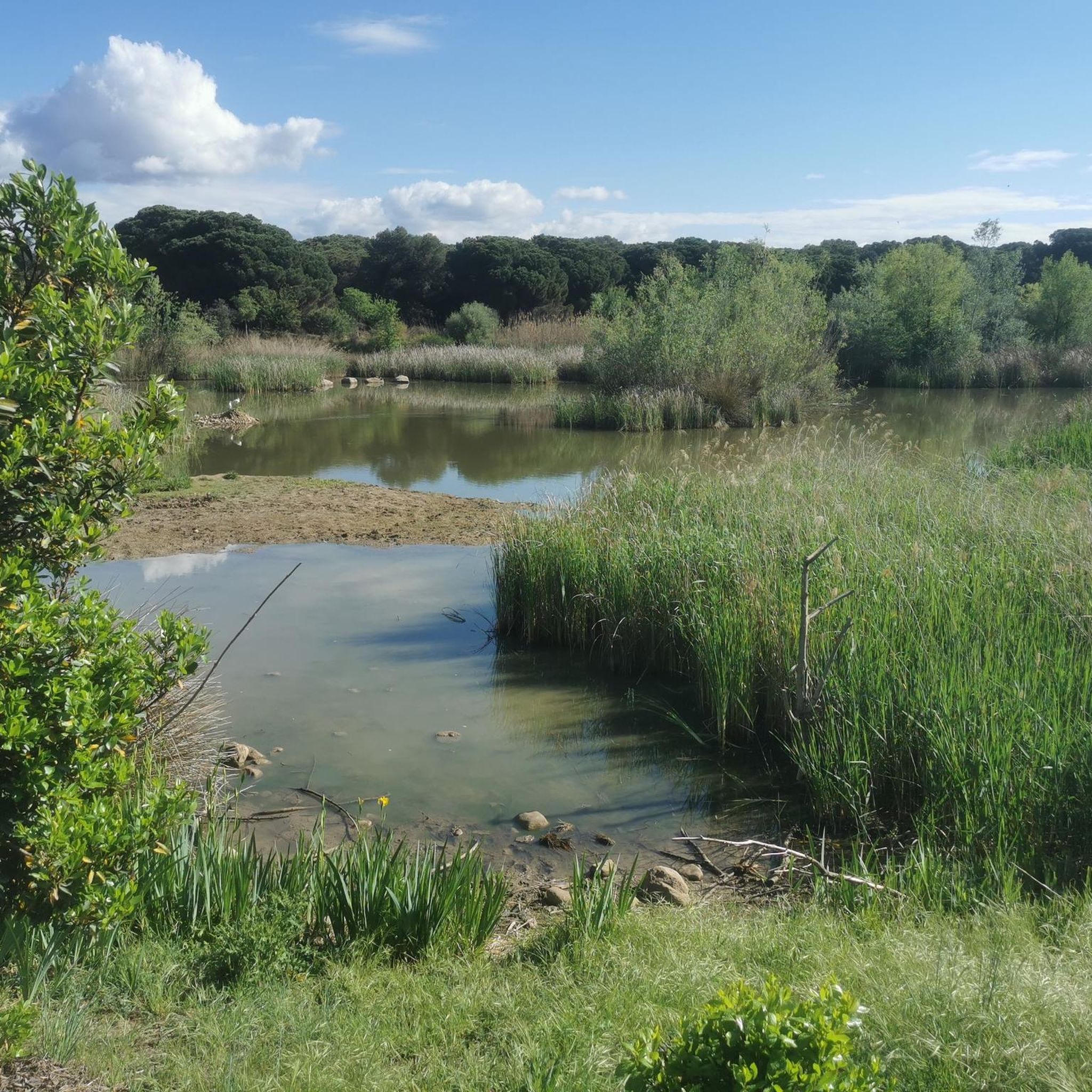
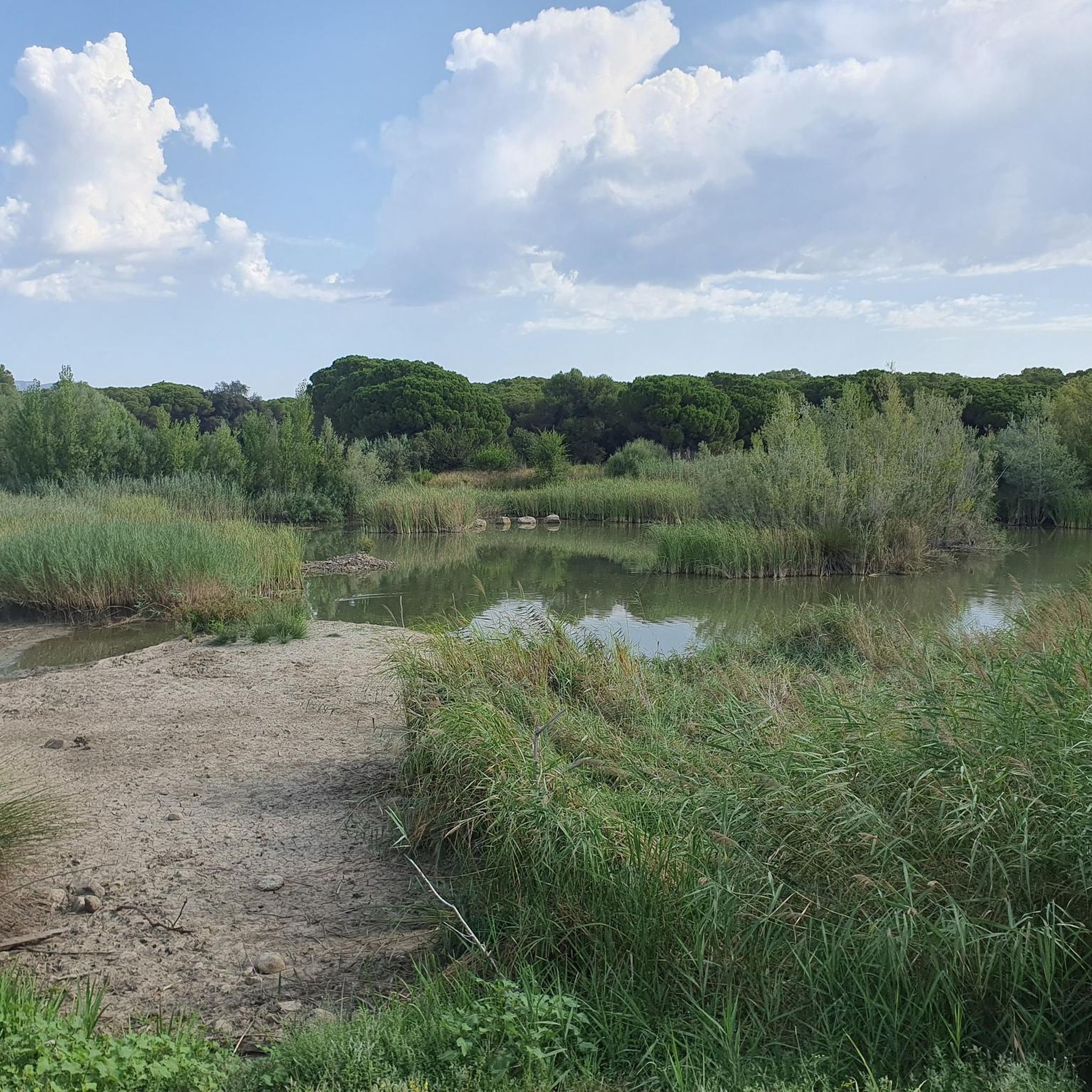
Road cycling routes around Lliçà D'Amunt traverse diverse landscapes, characterized by significant elevation gains and challenging terrain. The region is situated near several natural parks, including Montseny Natural Park and Sant Llorenç del Munt i l'Obac Natural Park, providing varied backdrops for rides. Cyclists can encounter key climbs such as Coll d'Ases and Pla de les Forques, with some routes featuring over 1,000 meters of ascent. While many surfaces are paved, some segments may include unpaved sections.
Best road cycling…
Last updated: June 28, 2026
4.4
(7)
981
riders
71.9km
03:30
1,070m
1,070m
Hard road ride. Very good fitness required. Some segments of this route may be unpaved and difficult to ride.
3.8
(10)
551
riders
62.3km
03:19
1,000m
1,000m
Hard road ride. Very good fitness required. Some segments of this route may be unpaved and difficult to ride.

Sign up for free
4.0
(2)
152
riders
37.0km
01:45
430m
430m
Moderate road ride. Good fitness required. Some segments of this route may be unpaved and difficult to ride.
91
riders
43.5km
02:10
640m
640m
Moderate road ride. Good fitness required. Some segments of this route may be unpaved and difficult to ride.
50
riders
39.4km
02:09
770m
770m
Moderate road ride. Good fitness required. Mostly well-paved surfaces and easy to ride.
Get access to more routes and recommendations from other explorers.
Sign up for free
Already have an account?
Our route recommendations are based on thousands of hikes, rides, and runs completed by other people on komoot.
Start today with a free account
Your next adventure awaits.
Login or Signup
Tips from the Community

beautiful facade that can be seen from the road
0
0

A real discovery! Superb views, decent asphalt and virtually no cars.
0
0


A classic destination for cyclists in the Vallès area.
2
1

It is a source where you can fill your water bottles and rest for a moment.
0
0

Churreria at the foot of the Bigues road in Sant Feliu de Codines.
0
0

The uphill stretch from Roca del Valles isn't difficult and is a lovely greenery. The descent to the Orrius junction is similar.
1
0
Coll del Farell, is not the real peak of the urbanization, which is located one km higher. It reaches 690 meters above sea level, after an ascent of about 9 km from Caldes.
1
0
Frequently Asked Questions
What kind of terrain can I expect on road cycling routes around Lliçà D'Amunt?
Road cycling routes in Lliçà D'Amunt are known for their diverse landscapes and challenging terrain. You can expect significant elevation gains, with many routes featuring over 1,000 meters of ascent. While most surfaces are well-paved, some segments might include unpaved sections, adding to the challenge.
Are there routes suitable for different fitness levels?
Yes, Lliçà D'Amunt offers a variety of road cycling routes catering to different fitness levels. The region has options for easy, moderate, and difficult ability levels, with a total of 139 routes available. You'll find 23 easy routes, 86 moderate routes, and 30 difficult routes to choose from.
What are some notable climbs or passes in the Lliçà D'Amunt area?
The region features several significant climbs. The Coll d'Ases is known as the highest and hardest mountain pass in the area, offering tranquil climbing and rewarding views of Gallifa. Other notable passes include Pla de les Forques, the highest point between Sant Llorenç Savall and Sant Feliu de Codines, Collada de Parpers with its lovely greenery, and La Conreria Pass, often part of moderate routes.
Can I find circular road cycling routes in Lliçà D'Amunt?
Yes, many of the road cycling routes around Lliçà D'Amunt are designed as loops, allowing you to start and end in the same location. For example, the La Conreria Pass – Conreria Pass loop from Granollers - Canovelles is a popular moderate option, and the Parpers Pass – Abandoned Gas Station loop from Granollers - Canovelles is another great choice.
What natural attractions or landmarks can I see along the road cycling routes?
The routes often pass through or near stunning natural features and historical sites. You might encounter the Sant Miquel del Fai Monastery and Waterfall, natural monuments like The Swallows' Rock and Pedra Foradada, or the Font de la Tosca and Degotalls waterfall. Scenic viewpoints such as the Mirador del Collet de la Vallensana also enhance the experience.
Are there any historical castles to explore near the cycling routes?
Yes, the region is rich in history and features several castles. You could visit Sentmenat Castle, Guanta Castle, El Clascar Castle, or Montbui Castle. The Mogoda neighborhood and Mogoda Castle also offer a glimpse into the area's past.
What do other road cyclists enjoy most about cycling in Lliçà D'Amunt?
The area is highly rated by the komoot community, with an average score of 4.4 stars from over 190 reviews. Cyclists often praise the diverse landscapes, the challenging climbs like Coll d'Ases and Pla de les Forques, and the proximity to natural parks which provide stunning backdrops for rides.
Which natural parks are close to Lliçà D'Amunt and offer scenic cycling opportunities?
Lliçà D'Amunt is strategically located near several natural parks, enhancing its appeal for road cyclists. These include Montseny Natural Park, Sant Llorenç del Munt i l'Obac Natural Park, Collserola Natural Park, Montnegre i el Corredor Natural Park, and Parque Natural de la Sierra de Marina. These parks provide varied and beautiful scenery for your rides.
What is a challenging road cycling route I can try in the area?
For a challenging ride, consider the Huge boulder – Sant Llorenç Savall loop from Granollers - Canovelles. This difficult 44.5-mile (71.6 km) route features over 1,000 meters of elevation gain through varied terrain and typically takes around 3 hours 29 minutes to complete.
Are there any moderate road cycling routes that offer significant climbs?
Yes, for a moderate yet rewarding experience, the La Conreria Pass – Conreria Pass loop from Granollers - Canovelles is a great option. This 30.8-mile (49.6 km) route includes 640 meters of elevation gain and is a popular choice for cyclists looking for a balanced challenge.
How many road cycling routes are available in total around Lliçà D'Amunt?
There are over 130 road cycling routes available around Lliçà D'Amunt, offering a wide range of distances, difficulties, and scenic experiences for every type of cyclist.
Most popular routes around Lliçà D'Amunt
Most popular attractions around Lliçà D'Amunt

Get inspired with the komoot mobile app


Explore more
Browse the best Road cycling routes in other regions.
