The best mountain hikes around Caldes De Montbui
22
hikers
3
hikes
Mountaineering routes around Caldes De Montbui traverse a diverse landscape in the Vallès Oriental region of Catalonia, characterized by varied terrain and significant elevation changes. The area features notable peaks such as el Farell, the highest point within the municipality at 816 meters, and Pico del Vent, offering opportunities for challenging climbs. Proximity to Sant Llorenç del Munt i l'Obac Natural Park provides additional mountain environments, including forests and river valleys. These natural features contribute to a network of trails…
Last updated: July 12, 2026
14
hikers
4.83km
02:18
350m
350m
Moderate mountaineering route. Good fitness required. Mostly accessible paths. Sure-footedness required.
4
hikers
4.53km
02:17
400m
400m
Hard mountaineering route. Good fitness required. Sure-footedness, sturdy shoes and alpine experience required.

Sign up for free
3
hikers
Hard mountaineering route. Very good fitness required. Mostly accessible paths. Sure-footedness required.
1
hikers
12.2km
05:05
700m
700m
Hard mountaineering route. Very good fitness required. Sure-footedness, sturdy shoes and alpine experience required.
Our route recommendations are based on thousands of hikes, rides, and runs completed by other people on komoot.
Start today with a free account
Your next adventure awaits.
Login or Signup

Tips from the Community

The restaurant has been closed since the fall of 2025.
0
0
The restaurant has been closed since 2023.
1
0


Very pleasant and diverse walk through leafy areas and open areas
2
0
Frequently Asked Questions
What kind of terrain can I expect on mountaineering routes around Caldes De Montbui?
The mountaineering routes in Caldes De Montbui traverse a diverse landscape, characterized by varied terrain and significant elevation changes. You'll encounter notable peaks like el Farell (816 meters) and Pico del Vent, offering challenging climbs. The area is also close to the Sant Llorenç del Munt i l'Obac Natural Park, featuring a mix of forests and river valleys.
Are there any challenging mountaineering routes in Caldes De Montbui?
Yes, Caldes De Montbui offers several challenging mountaineering routes. For instance, the Mura – Puig de la Balma loop from Parc Natural de Sant Llorenç del Munt i l'Obac is a difficult 15 km path with over 560 meters of elevation gain, offering expansive views. Another demanding option is the Turó de Matalonga loop from el Ripoll, which covers nearly 12 km with almost 700 meters of ascent.
Can I find circular mountaineering routes in the area?
Yes, several mountaineering routes around Caldes De Montbui are designed as loops. The Mountaineering loop from Sant Llorenç del Munt is a popular difficult route exploring the natural park's varied terrain. Another excellent circular option is the Mura – Puig de la Balma loop from Parc Natural de Sant Llorenç del Munt i l'Obac.
What natural features or landmarks can I see along the mountaineering routes?
The routes often pass by significant natural features and historical landmarks. You can encounter peaks like el Farell and Pico del Vent, and explore the Sant Llorenç del Munt i l'Obac Natural Park, home to La Mola and the Monastery of Sant Llorenç del Munt. Other notable sights include the Morral del Drac and the Puig de la Creu Summit and the Santa Maria Chapel, offering panoramic views.
Are there any caves or interesting geological formations to explore nearby?
Yes, the region around Caldes De Montbui features several interesting caves and geological formations. You might encounter highlights like the Morral del Drac and the Balma la Miquelona. The Sant Miquel del Fai Monastery and Waterfall is also a significant natural and historical site worth visiting.
What is the highest point I can reach on a mountaineering route in Caldes De Montbui?
Within the municipality of Caldes De Montbui, the highest point is el Farell, standing at 816 meters. However, mountaineering routes in the broader area, particularly those extending into the Sant Llorenç del Munt i l'Obac Natural Park, can lead to higher elevations, such as La Mola (1,103 m), which offers spectacular views across Catalonia.
What are the best times of year for mountaineering in Caldes De Montbui?
The diverse landscapes of Caldes De Montbui make it suitable for mountaineering across multiple seasons. Spring and autumn generally offer pleasant temperatures and vibrant scenery, ideal for longer treks. Summer can be warm, but routes through forested areas or at higher elevations provide cooler conditions. Winter mountaineering is also possible, though some higher or more exposed sections may require appropriate gear and experience.
Are there any historical sites or cultural attractions near the mountaineering trails?
Beyond the natural beauty, Caldes De Montbui is rich in history. Many hiking routes pass by historical landmarks such as the Romanesque Bridge, medieval walls, and old hermitages like Remei and Santa María. The town itself is famous for its thermal springs and ancient Roman baths, which can provide a unique and relaxing experience after a day of mountaineering.
How many mountaineering routes are available around Caldes De Montbui?
There are several mountaineering routes available around Caldes De Montbui, with a total of 4 routes detailed in this guide. These include a mix of moderate and difficult trails, offering options for different skill levels.
What are the typical distances and durations for mountaineering routes in this region?
Mountaineering routes in Caldes De Montbui vary in length and duration. For example, the Mountaineering loop from Sant Llorenç del Munt is about 4.5 km and takes around 2 hours 20 minutes. Longer routes, such as the Mura – Puig de la Balma loop from Parc Natural de Sant Llorenç del Munt i l'Obac, can be up to 15 km and take over 5 hours to complete, depending on your pace and fitness level.
What kind of views can I expect from the mountaineering routes?
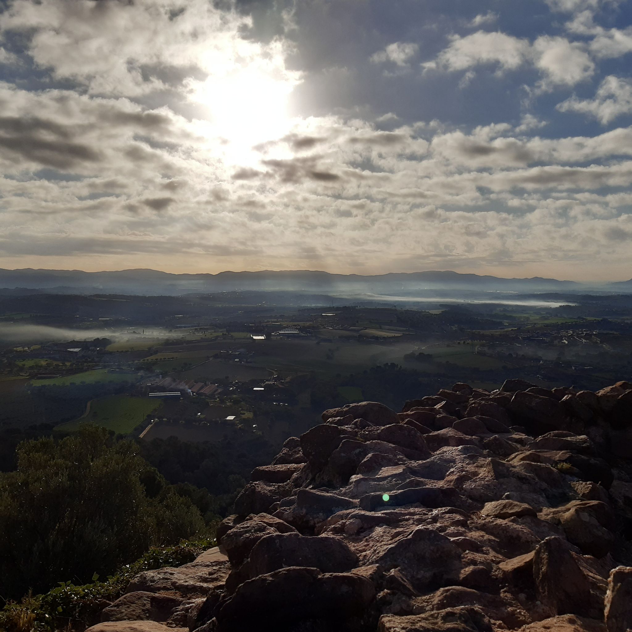
The mountaineering routes around Caldes De Montbui offer a variety of scenic views. From higher points like el Farell and Puig de la Creu, you can enjoy expansive panoramas of the Vallès Occidental, Collserola, Montseny, and the San Lorenzo massif, including Montserrat. Routes within the Sant Llorenç del Munt i l'Obac Natural Park also provide stunning vistas of the diverse natural park landscape.
Most popular routes around Caldes De Montbui
Most popular attractions around Caldes De Montbui

Get inspired with the komoot mobile app


Explore more
Browse the best Mountain Hikes & Routes in other regions.
