The best MTB trails around Corduente
4.5
(7)
114
riders
30
rides
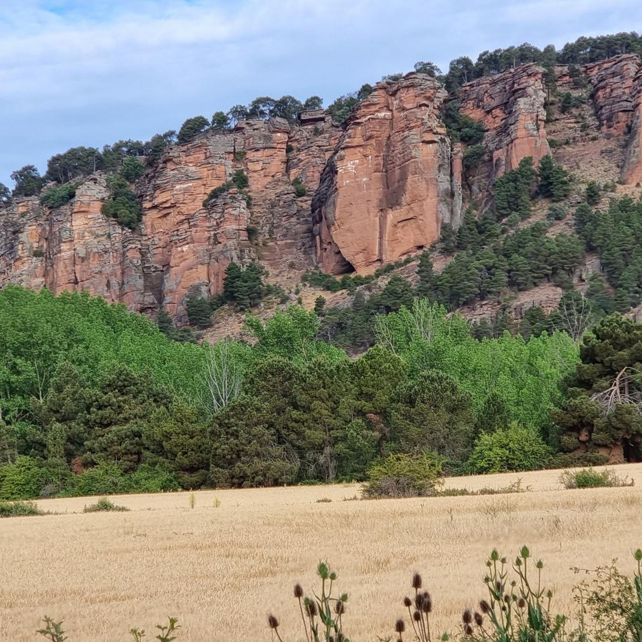
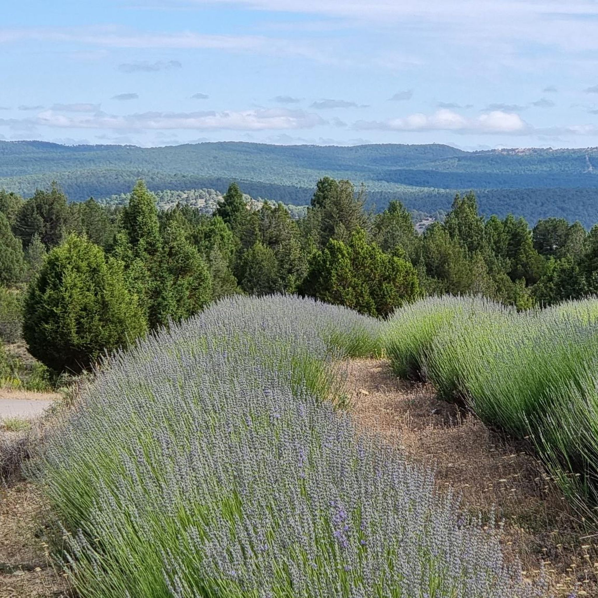
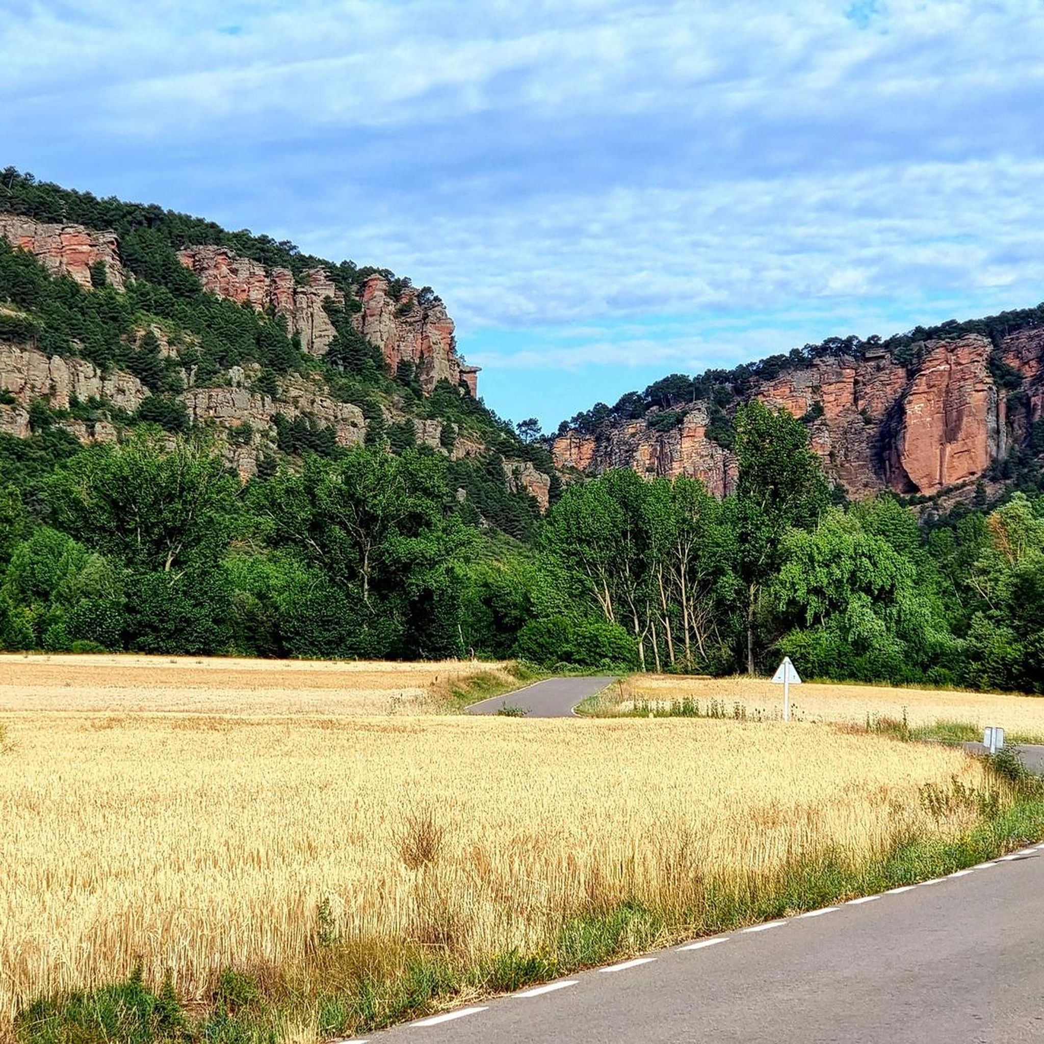
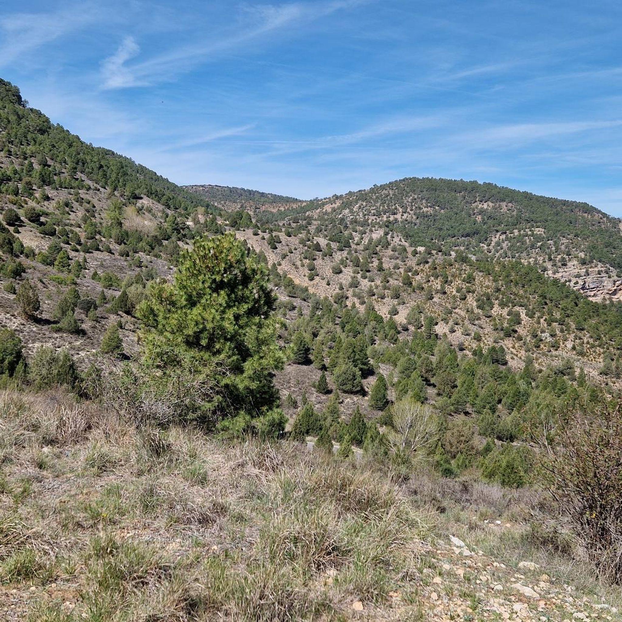
Mountain biking around Corduente offers diverse terrain within Spain's Alto Tajo Natural Park, situated at an elevation of 1051 meters. The region features dramatic rock formations, expansive wooded pastures, and dense pine forests, providing varied landscapes for mountain bikers. Riders can explore challenging topography, including gorges carved by the Gallo River, and routes that traverse both rugged and forested environments. This area serves as a gateway to an extensive network of trails, catering to different skill levels.
Best mountain bike…
Last updated: July 11, 2026
1
riders
45.3km
03:54
650m
650m
Moderate mountain bike ride. Good fitness required. Advanced riding skills necessary.
66.0km
06:06
1,050m
1,050m
Hard mountain bike ride. Very good fitness required. Advanced riding skills necessary.

Sign up for free
Hard mountain bike ride. Very good fitness required. Advanced riding skills necessary.
3.0
(1)
46
riders
72.7km
06:29
1,050m
1,050m
Hard mountain bike ride. Very good fitness required. Suitable for all skill levels.
5.0
(2)
22
riders
97.8km
08:37
1,510m
1,510m
Hard mountain bike ride. Very good fitness required. Suitable for all skill levels.
Get access to more routes and recommendations from other explorers.
Sign up for free
Already have an account?
Our route recommendations are based on thousands of hikes, rides, and runs completed by other people on komoot.
Start today with a free account
Your next adventure awaits.
Login or Signup


Other adventures around Corduente

Tips from the Community

This spectacular bridge is almost hidden from view and serves as an excuse to cross the Tagus River from one bank to the other. It is very well preserved and is located next to several striking rock faces.
9
0
They are a series of rural houses called "El Salto" (The Salto) located in a privileged setting, very close to the Tajo suspension bridge, and are accessed from the road via a dirt forest track. This place also has a small restaurant where you can have lunch and spend some pleasant moments.
9
0
This viewpoint is located in a privileged place in front of a spectacular rocky cliff, which if you pass by on your bike on a hot day when the heat reflects its image on this wall... I think you'll have to stop and rest for a few seconds.
9
0
This descending valley, which runs alongside the Tagus River for many kilometres, is full of unique and unrepeatable corners, due to the capricious formations that occur every few metres.
9
0
What an exclusive paradise and privileged setting this lagoon has, whose waters come almost exclusively from underground seepage. Swimming is permitted in this lagoon, but recreational diving is prohibited.
9
0
This is undoubtedly one of the Tagus's great wonders. Crossing the beautiful river on a suspension bridge like this one, where motor vehicles are prohibited, reduces the number of crossing options. Walkers and cyclists can enjoy the oscillating motion experienced by the bridge's anchorage. Absolutely recommended!
7
0
This part of the Tagus River is full of ponds and fords for swimming in the Tagus River.
7
0
This valley is made up of hundreds of whimsical rock formations that contribute to the splendor of the surroundings in the form of rocky canyons. This spot is another example of the many we encounter as we travel downriver.
7
0
Frequently Asked Questions
What kind of terrain can I expect when mountain biking around Corduente?
The region around Corduente, nestled in the Alto Tajo Natural Park, offers a diverse and often challenging terrain. You'll encounter dramatic rock formations (roquedos), expansive wooded pastures (dehesa), and dense pine forests (pinares). The area is also characterized by rugged topography, including significant elevation changes and dramatic gorges carved by the Gallo River, such as the Barranco de la Hoz. This variety provides everything from rocky paths to forested singletracks and open-field routes.
Are there mountain bike trails suitable for beginners or families in Corduente?
While many routes in Corduente and the Alto Tajo Natural Park are moderate to difficult, there are options that cater to different skill levels. The region's varied terrain means some paths are less technical, offering a good starting point for those new to mountain biking or families looking for a more relaxed ride. It's always recommended to check the difficulty rating of a specific route before heading out.
What are some scenic highlights or natural features I can see while mountain biking in Corduente?
Mountain biking in Corduente offers stunning natural beauty. A major highlight is the Barranco de la Hoz, a breathtaking gorge carved by the Gallo River. You can also explore dense pine forests, unique geological formations, and enjoy views along the Tajo River. The area is rich in riverine landscapes, including the Arroyo de la Dehesa, and features impressive rock formations throughout the Alto Tajo Natural Park.
Are there any historical landmarks or points of interest along the mountain bike routes?
Yes, several routes offer cultural and historical stops. The 15th-century Sanctuary of the Virgin of the Hoz is nestled within the Barranco de la Hoz, providing a picturesque destination. Additionally, the GR 160 - Camino del Cid BTT: Sierra de Caldereros Loop passes historical castles, adding a cultural dimension to your ride.
What is the best time of year to go mountain biking in Corduente?
Corduente, situated at 1051 meters above sea level, experiences varied seasonal conditions. Spring and autumn generally offer the most pleasant temperatures for mountain biking, with lush landscapes in spring and vibrant colors in autumn. Summers can be warm, especially at lower elevations, while winters can bring colder temperatures and potentially snow, making some routes more challenging or inaccessible.
Are there any circular mountain bike routes available in Corduente?
Yes, there are several excellent circular routes. For example, the Montañas Vacías - Alto Tajo Circuit offers a moderate loop through canyons and along the Tajo River. Another option is the Natural Park of Alto Tajo – circular from Molina de Aragón to La Hoz del río Gallo via the Camino del Cid, which takes you through the Hoz Gorge.
How many mountain bike trails are there in Corduente?
There are over 25 mountain bike trails around Corduente, offering a wide range of experiences. These routes vary in difficulty from moderate to difficult, catering to different skill levels and preferences within the diverse landscapes of the Alto Tajo Natural Park.
What do other mountain bikers enjoy most about mountain biking in Corduente?
The mountain bike trails around Corduente are highly rated by the komoot community, with an average score of 4.5 stars from 6 reviews. Riders often praise the dramatic gorges, dense pine forests, and varied rock formations, highlighting the stunning natural beauty and the diverse challenges offered by the terrain.
Are there any challenging mountain bike trails for experienced riders?
Absolutely. The region is known for its challenging topography and significant elevation gains. Routes like the GR 160 - Camino del Cid BTT: Sierra de Caldereros Loop, a difficult 41.0-mile path, include demanding climbs and technical sections. The broader Alto Tajo Natural Park also features routes that require good fitness and technical skill, sometimes even requiring you to push your bike.
Is it possible to access mountain bike trails in Corduente using public transport?
Access to Corduente and its surrounding trails primarily relies on personal vehicles due to its location within a natural park. While some regional bus services might connect to larger towns nearby, direct public transport links to specific trailheads are limited. Planning for car access is generally advisable for convenience.
Where can I find parking near mountain bike trails in Corduente?
Parking availability will vary depending on the specific trailhead you choose. In Corduente itself, you can typically find parking within the village. For trails deeper within the Alto Tajo Natural Park, designated parking areas are often available at key access points or visitor centers. It's advisable to check specific route details or local information for the best parking options for your chosen trail.
Are there any trails that follow the Tajo River?
Yes, the Alto Tajo Natural Park is renowned for its river systems. You can find trails that follow the Tajo River, offering scenic rides along its banks and through its canyons. For instance, the Laguna de Taravilla – Trail along the Tajo River loop from Peñalén is a difficult route that takes you along the river.
Most popular routes around Corduente
Most popular attractions around Corduente

Get inspired with the komoot mobile app


Explore more
Browse the best MTB trails in other regions.
