The best MTB trails around Zarza De Tajo
4.9
(11)
233
riders
75
rides
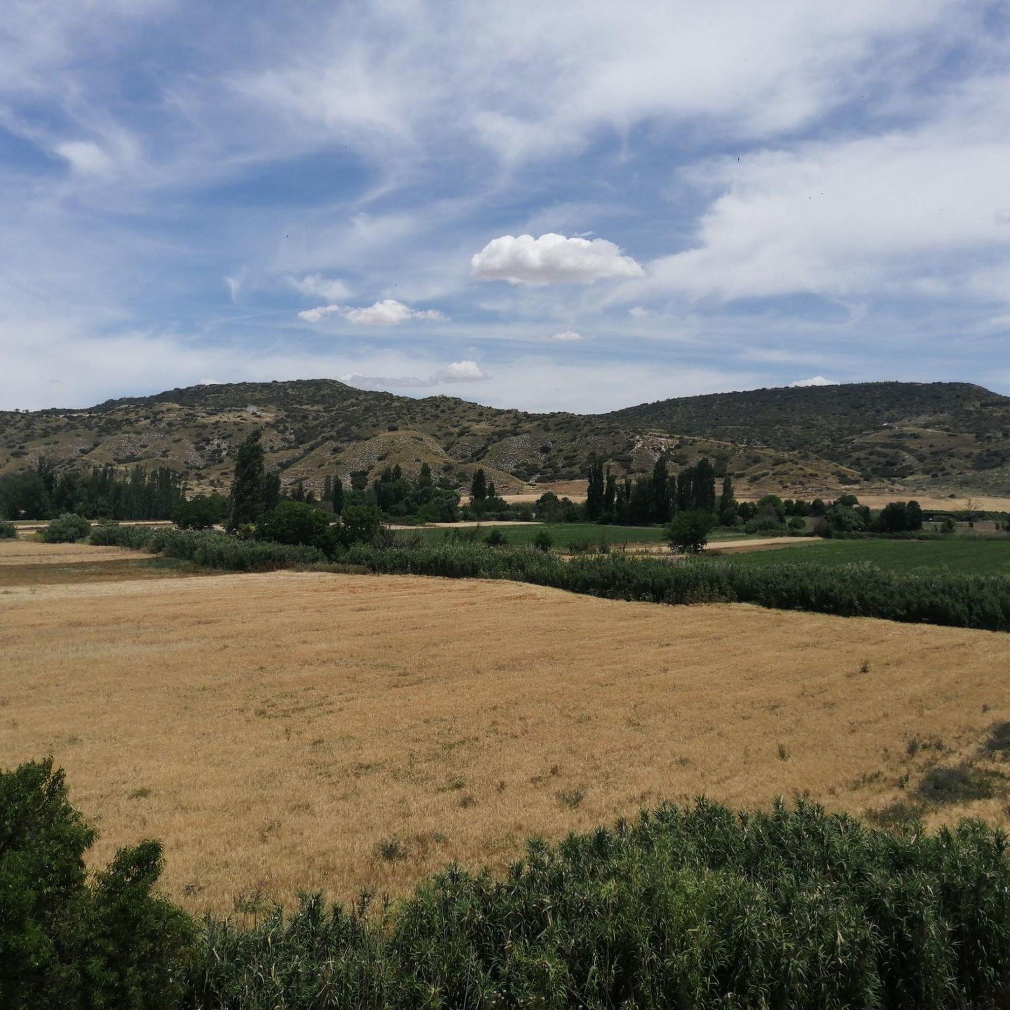
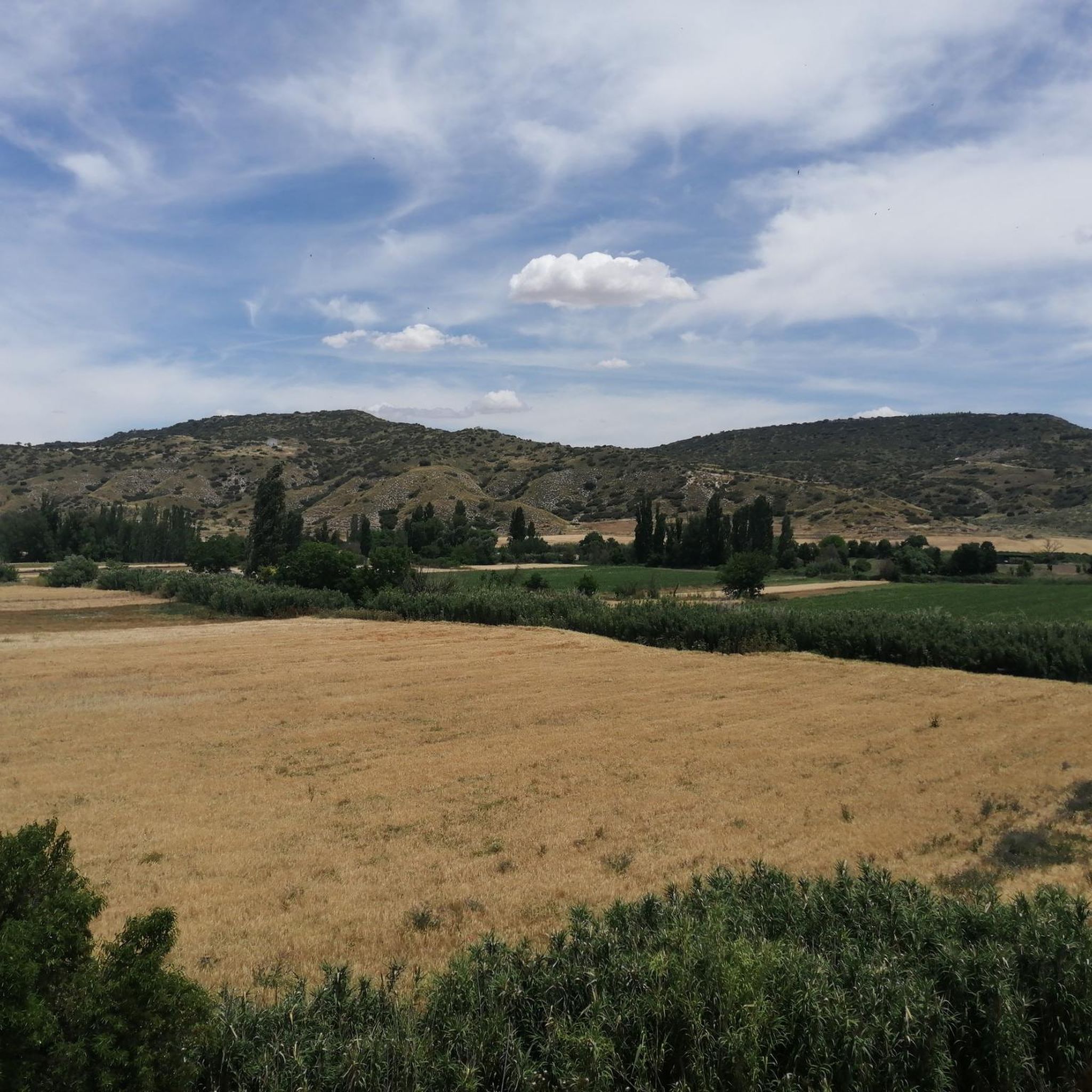
Mountain biking around Zarza de Tajo offers diverse landscapes shaped by the Tajo River and the Serranía de Cuenca. The region features extensive trail networks, including sections of the Camino Natural del Tajo, which traces the river's course. Riders can explore varied terrain, from riparian groves along the Tajo to the more mountainous areas of the Serranía, characterized by canyons and unique geological formations. This area provides a compelling setting for outdoor activities, with trails suitable for various skill levels.
…Last updated: October 28, 2026
30
riders
30.7km
02:39
430m
430m
Moderate mountain bike ride. Good fitness required.
5.0
(1)
8
riders
20.0km
01:39
270m
270m
Easy mountain bike ride.

10
riders
46.9km
03:51
330m
330m
Moderate mountain bike ride. Good fitness required.
4
riders
Moderate mountain bike ride. Good fitness required.
3
riders
Moderate mountain bike ride. Good fitness required.
Get access to more routes and recommendations from other explorers.
Already have an account?
Our route recommendations are based on thousands of hikes, rides, and runs completed by other people on komoot.
Start today with a free account
Your next adventure awaits.



Tips from the Community

For its tower, which is worth visiting, and its tree-lined plaza where you can relax in the shade.
0
0

The Tower is the icon of Villarejo de Salvanés, it is a unique model of a keep among the constructions of medieval fortresses. Around it there are remains of the walls and rooms that completed the complex of the old castle of the town, occupied for several centuries by the knights of the Order of Santiago. The Plaza de la Constitución concentrates a good part of the monumental Villarejo de Salvanés, opposite the Tower is the church of San Andrés Apóstol, imposing and with tower-shaped buttresses that give a defensive appearance to the building. And one corner is occupied by the Casa de la Tercia, headquarters of the Encomienda Mayor de Castilla and current Ethnographic Museum. An interesting place for fans of the seventh art is the Museo del Cine, the first professional film museum in Spain.
0
0

“Picantón” trail that sometimes appears to go deep, adorned by the landscape that surrounds it.
0
0
It is a shame that only the keep of the entire walled building is preserved, but it is also fortunate to miss out on enjoying this architectural beauty, whose shape is peculiar and unusual in this type of fortress.
1
0
The specific constitution of this land favors the construction of homes that guarantee the stability of roofs and walls.
0
0

Fuentidueña de Tajo Kilometer 0 The ruins of the castle reveal the strategic town of Fuentidueña de Tajo on the river bank, a passageway for important communication routes since Roman times. In the Middle Ages, the Via del Esparto was very popular, one of the most valuable products in those times in the Las Vegas region, which ran on a primitive Roman road and reached Esparteros Street, in the center of Madrid. On the way up from the castle is the Fuente de la Dueña or Fuente Salobre, it is a limestone pylon rebuilt in the 19th century and a key link in the historical foundations of Fuentidueña. The “owner” of the fountain and responsible for the name was Doña Urraca, lady of the fortress for a time, formerly called Santiago due to its connection with the order and popularly known as Torre de Piquillos, a few ruins on the hill where the fountain springs. spring. The old watchtower, the fountain, the church of San Andrés and the Plaza de la Constitución, where the Clock Tower is located, make up a valuable heritage complex in one of the most important passes of the Cañada Real Soriana Oriental in the Tagus Valley. The livestock route crosses the Tagus Natural Trail in the streets of Fuentidueña, crosses the town to the river bank and changes banks over a historic iron bridge from the 19th century. The Tagus Bridge is a magnificent work of civil engineering inaugurated in 1867. The designer of the project was the architect José de Echevarría, who sought collaborators in France within the Eiffiel team and used riveted iron beams to build a solid bridge in a fundamental step of the Tajo plain, in the transit of the Cañada Real Soriana Oriental and the Camino Real de Valencia, an ancient Post Road and route of peasants and merchants since the Early Middle Ages. The first mechanical means to cross the Tagus riverbed was a rope boat, later replaced by a rope bridge to withstand unforeseen floods, but it was destroyed by General Prim's troops in the 19th century.
0
0

The Fuentidueña de Tajo bridge is an engineering work from the mid-19th century that restored the passage through this river on the way to Cuenca. It is the oldest large metal bridge in Madrid. This work allowed communications to be modernized at the time of its execution.
2
0
The brackish water spring that flows behind the church and the fact that it was under the rule of Doña Urraca, queen of León, give it the name Fuentidueña (Source of the Owner). This town was already important in Al Andalus, since it had a castle. During the reconquest, the castle of Santiago was built, under the military order of the same name, which led the advance and defended the square. Although the castle is in ruins, its proximity to the Tagus and its orchard give it a special charm.
0
0
Frequently Asked Questions
How many mountain bike trails are available around Zarza de Tajo?
There are over 70 mountain bike trails in the Zarza de Tajo area. These routes offer a diverse range of experiences, from easy rides along river paths to more challenging trails through hilly terrain.
What kind of terrain can I expect on mountain bike trails near Zarza de Tajo?
The terrain around Zarza de Tajo is varied, shaped by the Tajo River and the Serranía de Cuenca. You'll find pleasant riparian groves along the Tajo, as well as more mountainous areas with canyons and unique geological formations. The region features a mix of well-maintained tracks and natural paths, suitable for different skill levels.
Are there any easy mountain bike trails suitable for beginners or families in Zarza de Tajo?
Yes, Zarza de Tajo offers several easy routes perfect for beginners or families. For instance, The Devil's Path – Tarancón Fountain loop from Estación de Tarancón is an easy 18.6 km trail that takes about 1 hour 35 minutes to complete. In total, there are 8 easy routes available.
What are some notable landmarks or points of interest I can see while mountain biking in the area?
Many routes offer views of interesting landmarks. You might encounter historical engineering marvels like the 19th-century Iron Bridge of Fuentidueña de Tajo or the Villamanrique de Tajo Viaduct. The Tajo Nature Trail itself is a significant feature, and you can also explore the Fuentidueña de Tajo Town Center and Historic Landmarks.
Are there any circular mountain bike routes around Zarza de Tajo?
Yes, many of the mountain bike trails in the area are circular. For example, the popular Cerro Verde and Cerro Mojón Loop from Tarancón is a moderate 46.6 km route, and the Fuentidueña de Tajo loop from Fuentidueña de Tajo is a moderate 22.8 km trail that follows the Tajo River valley.
What do other mountain bikers say about the trails in Zarza de Tajo?
The mountain bike trails around Zarza de Tajo are highly rated by the komoot community, with an average score of 4.9 stars from nearly 10 reviews. Over 180 mountain bikers have used komoot to explore the varied terrain, often praising the diverse landscapes and the opportunities to ride along the Tajo River.
Can I bring my dog on the mountain bike trails in Zarza de Tajo?
While many natural areas in Spain are dog-friendly, it's always best to check specific local regulations for each trail or protected area within the Serranía de Cuenca or along the Tajo River. Generally, dogs are permitted on trails if kept under control, but some areas might have restrictions, especially during certain seasons or in wildlife protection zones.
What is the best time of year for mountain biking in Zarza de Tajo?
The region experiences a Mediterranean climate. Spring (April-May) and autumn (September-October) are generally ideal for mountain biking, offering pleasant temperatures and less extreme weather. Summers can be very hot, especially in July and August, while winters are mild but can be damp.
Are there challenging mountain bike routes for experienced riders?
Yes, for experienced riders seeking a challenge, there are 5 difficult routes available. The broader Tajo Internacional MTB Centre, located nearby, also offers black-graded trails for advanced mountain bikers, providing technical singletracks and significant elevation changes.
Is there public transport access to the mountain bike trails in Zarza de Tajo?
Zarza de Tajo is primarily accessed by road. While there might be limited local bus services connecting to larger towns, direct public transport to specific trailheads can be scarce. It is generally recommended to travel by car to reach the starting points of most mountain bike routes in the area, especially those further into the Serranía de Cuenca.
Are there any specific permits required for mountain biking in the Zarza de Tajo region?
Generally, no specific permits are required for mountain biking on established trails in the Zarza de Tajo area or within the broader Castilla-La Mancha region. However, always respect private property, follow local signage, and adhere to any specific rules if riding within designated natural parks or protected areas like the Serranía de Cuenca.
What are the typical distances and durations of mountain bike trails in this area?
The trails vary significantly in length and duration. You can find shorter routes like The Devil's Path – Tarancón Fountain loop from Estación de Tarancón, which is 18.6 km and takes about 1 hour 35 minutes. Longer, more challenging routes, such as Cerro Verde and Cerro Mojón Loop from Tarancón, can be up to 46.6 km and take over 4 hours to complete.
Most popular attractions around Zarza De Tajo

Get inspired with the komoot mobile app


Explore more
Browse the best MTB trails in other regions.
