The best road cycling routes around Fuente Vaqueros
4.5
(104)
3,320
riders
16
rides
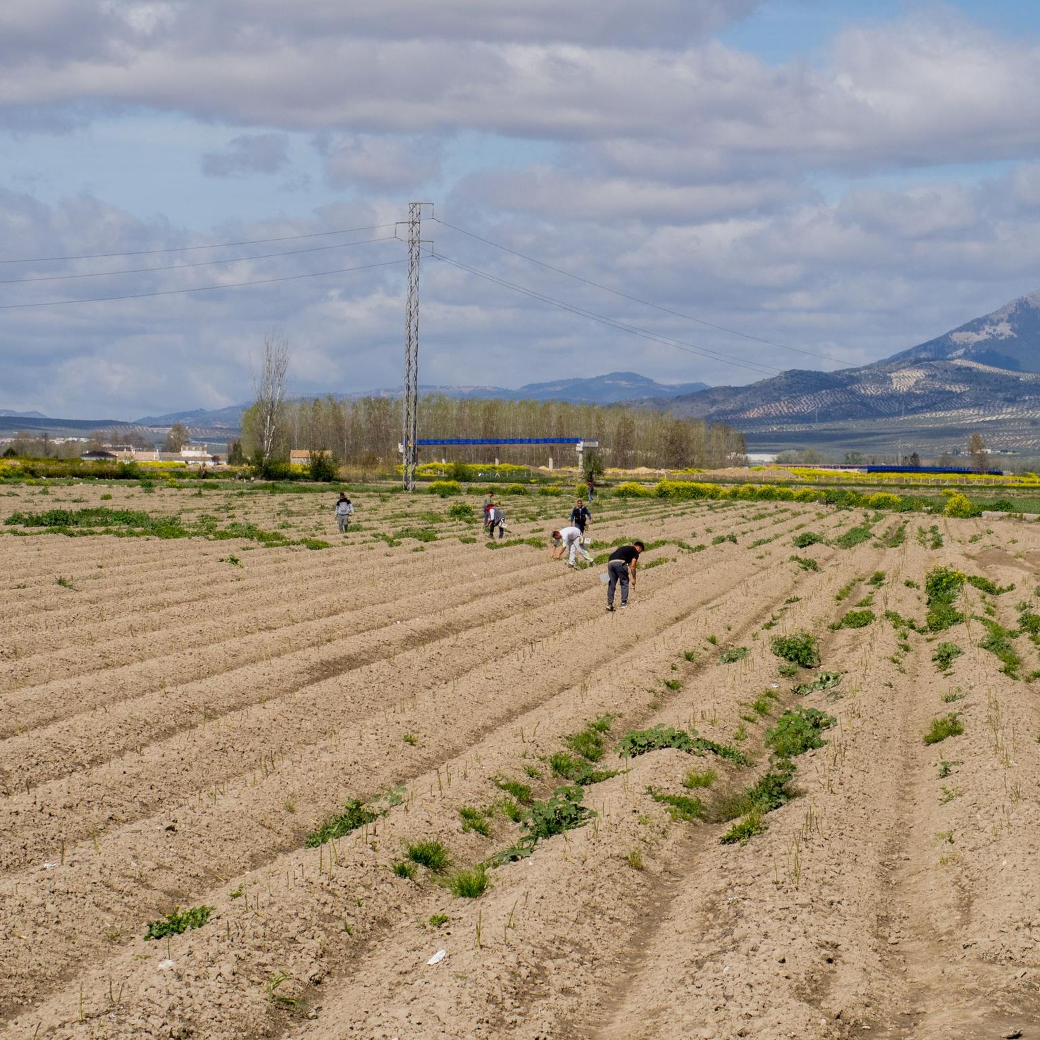
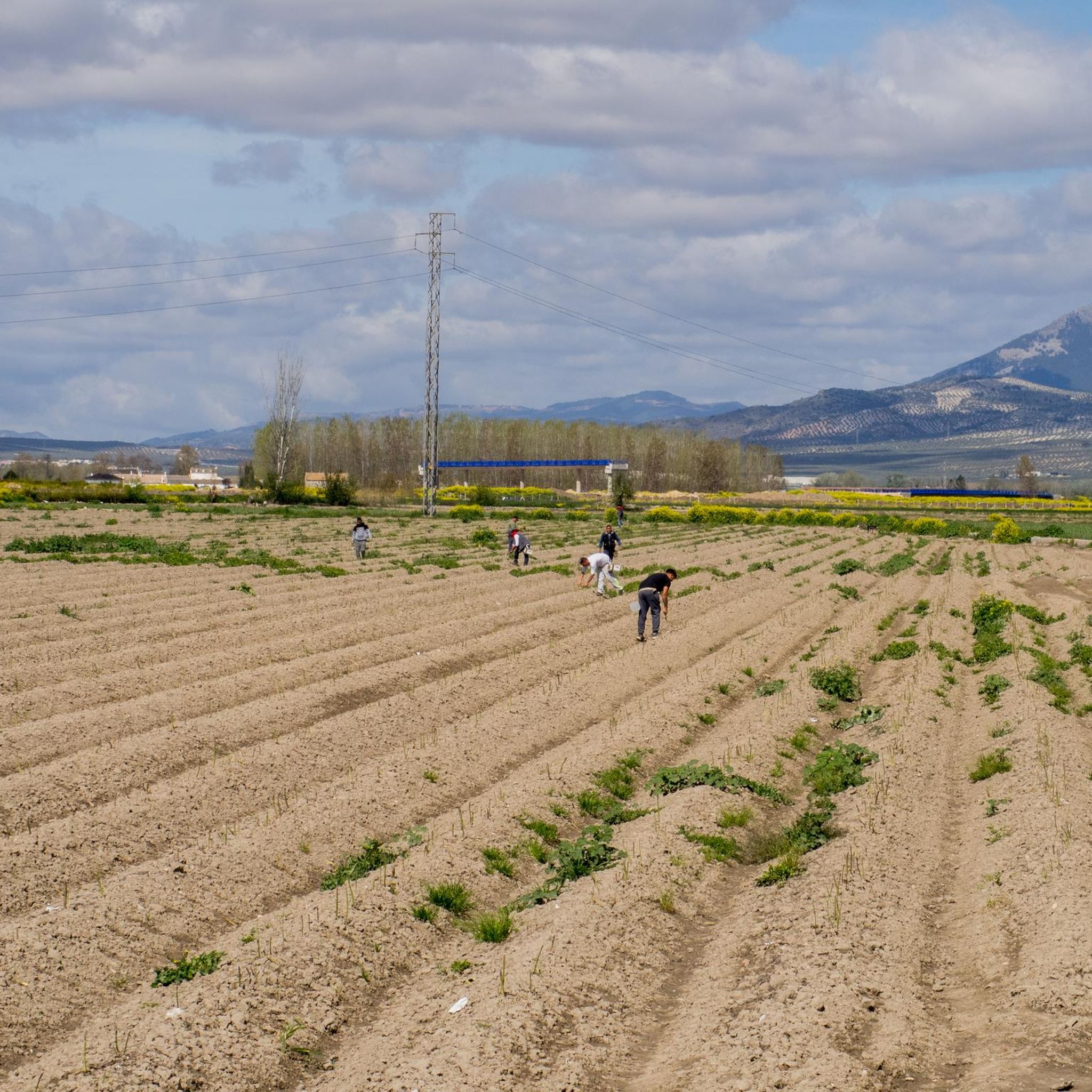
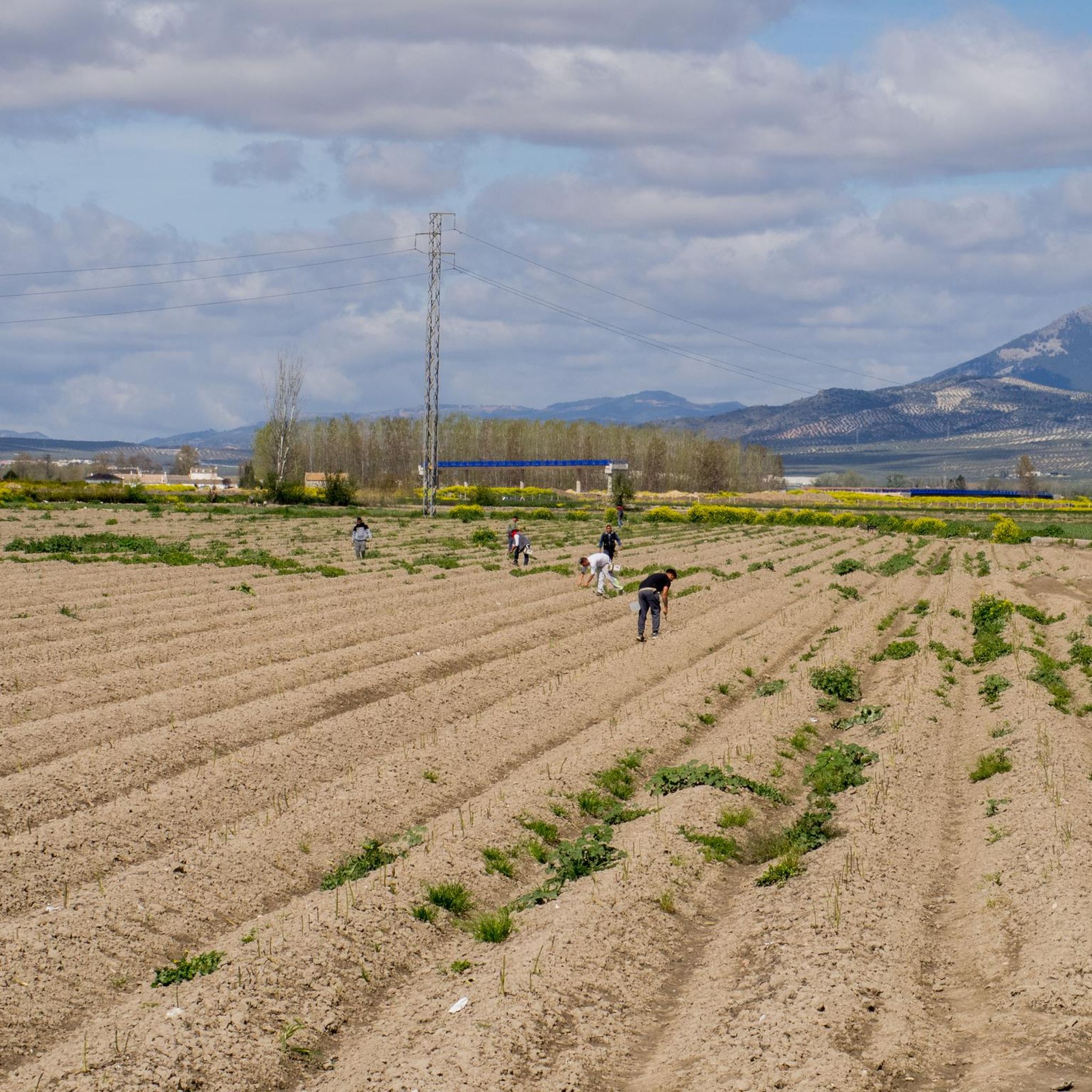
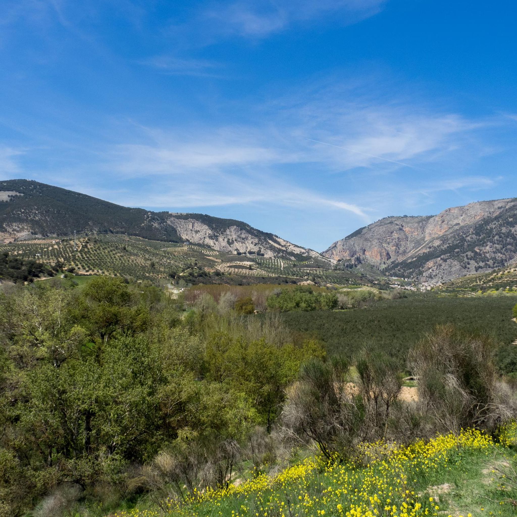
Road cycling routes around Fuente Vaqueros traverse the fertile lowlands of the Vega de Granada, characterized by expansive agricultural fields, fruit orchards, and large poplar forests. The terrain is predominantly flat, making it accessible for various cycling abilities. The Genil River shapes the verdant environment, offering scenic paths, while distant views of the Sierra Nevada mountains can be observed from certain areas.
Best road cycling routes around Fuente Vaqueros
- The most popular road cycling route is Spring water source in…
Last updated: July 1, 2026
4.9
(15)
127
riders
Moderate road ride. Good fitness required. Mostly well-paved surfaces and easy to ride.
5.0
(14)
60
riders
42.5km
01:40
130m
130m
Easy road ride. Great for any fitness level. Mostly well-paved surfaces and easy to ride.

Sign up for free
5.0
(1)
33
riders
60.4km
02:42
540m
540m
Moderate road ride. Good fitness required. Mostly well-paved surfaces and easy to ride.
35
riders
55.3km
02:37
630m
630m
Moderate road ride. Good fitness required. Mostly well-paved surfaces and easy to ride.
5.0
(1)
24
riders
36.5km
01:36
290m
290m
Easy road ride. Great for any fitness level. Mostly well-paved surfaces and easy to ride.
Get access to more routes and recommendations from other explorers.
Sign up for free
Already have an account?
Our route recommendations are based on thousands of hikes, rides, and runs completed by other people on komoot.
Start today with a free account
Your next adventure awaits.
Login or Signup
Tips from the Community

The view of Moclín Castle from Moriscos Street is considered one of the most picturesque in the town center. From this street, which runs through the lower part of the town, you get an upward perspective of the rocky outcrop where the castle stands, with its walls silhouetted against the sky and the white houses in the foreground.
2
0
Visiting Moclín is usually a highly recommended experience, especially if you enjoy destinations that combine history, nature, and tranquility. The best of Moclín: Impressive historical heritage: The Nasrid castle and church are true gems for lovers of medieval history. Spectacular natural surroundings: The Gollizno Route is ideal for hiking, with suspension bridges and viewpoints overlooking the valley. Charming villages: Cobblestone streets, whitewashed houses, and photogenic corners. Authentic experience: It's not a crowded destination, allowing you to enjoy it at a leisurely pace.
3
0

A tree of colossal dimensions with large branches that extend across the street. The thickness of its trunk is imposing, providing ample shade under its majestic branches.
0
0

The site is called Molino del Rey. The aqueduct is a water channel that comes from the Dehesa Baja, where the "Torre de los Ingleses" (the Duke of Wellington's estate) is located, and which supplied water to the old mill (now disused). https://www.granadahoy.com/granada/acueducto-Molino-Rey-finca-duques-Wellington-Granada_0_1766223915.html
6
0

This small town in Granada pays homage to the past by displaying some characteristic elements of the agricultural work of yesteryear. Here we find some jars and some remains of machinery used for wine production.
16
0
This spectacular mini-aqueduct, next to a large farmhouse (now abandoned), once served to carry water from a distance away from the factory. That water was likely intended to power some moving elements for grinding grain or perhaps olives. I have been unable to find the name of this important estate.
16
0
This watchtower houses the castle and wall dating from the Caliphate period between the 9th and 10th centuries. In addition to the castle, there are also watchtowers or watchtowers associated with it, among which the Torre de Brácana stands out.
15
0
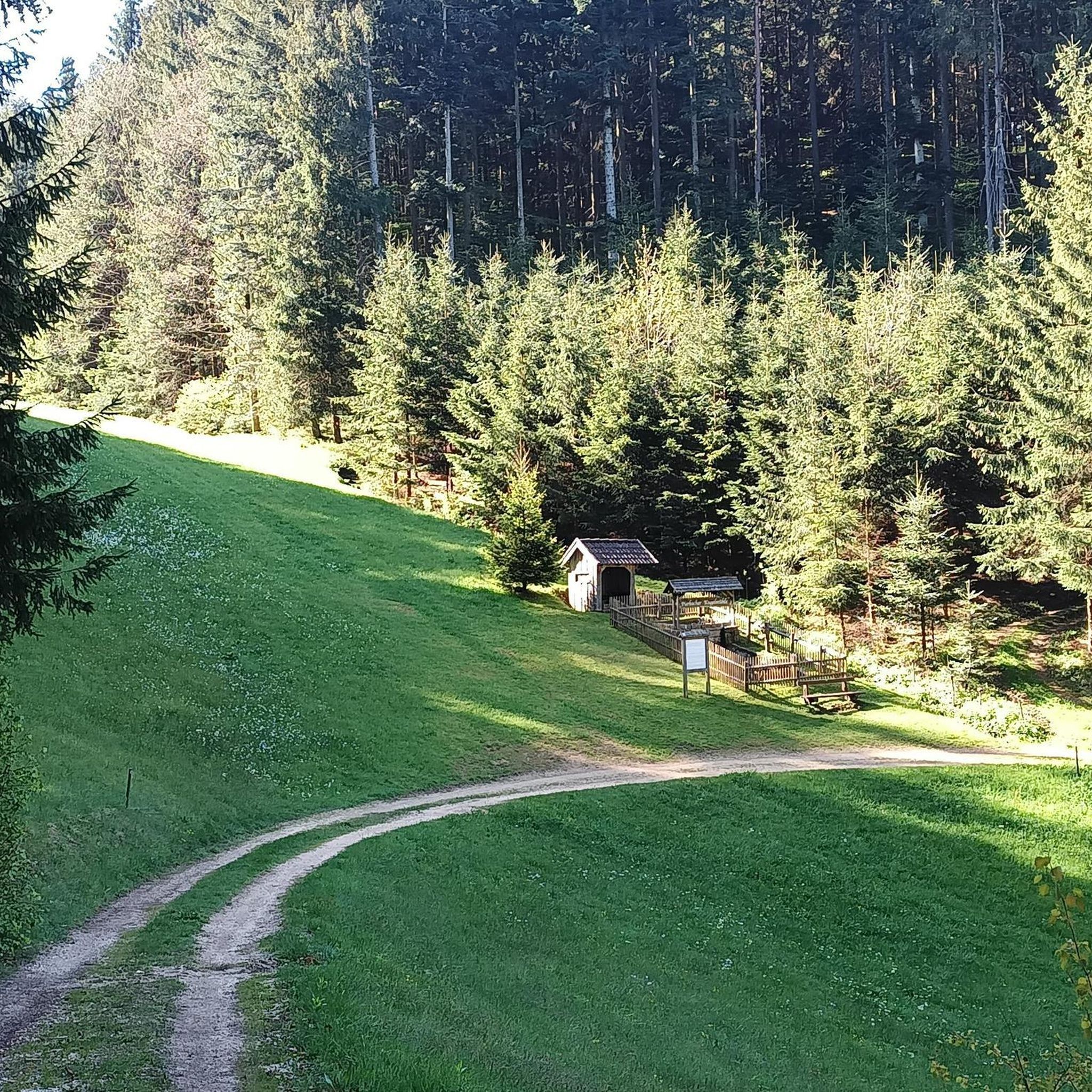
This historic fountain, which has been restored and still contains remains of an old wash house, is almost completely empty. There is a sign indicating that the water is not potable, although it is likely marked with a high concentration of other minerals that may be harmful to health.
16
0
Frequently Asked Questions
How many road cycling routes are available around Fuente Vaqueros?
There are over 10 road cycling routes around Fuente Vaqueros, catering to various skill levels. You'll find a good mix of easy, moderate, and challenging options to explore the region's diverse landscapes.
What kind of scenery can I expect on road cycling routes in Fuente Vaqueros?
The routes primarily traverse the fertile lowlands of the Vega de Granada, characterized by expansive agricultural fields, fruit orchards, and large poplar forests. You'll also find scenic paths along the Genil River, and from certain areas, you can enjoy distant views of the Sierra Nevada mountains. The landscape is particularly vibrant in autumn.
Are there any easy road cycling routes suitable for beginners or families?
Yes, Fuente Vaqueros offers several easy road cycling routes. The terrain is predominantly flat, making it accessible for various cycling abilities. A great option is the Santa Fe – Path along the Genil River loop from Fuente Vaqueros, which is 26.9 miles (43.4 km) and leads through agricultural landscapes and along the Genil River.
What are some notable landmarks or attractions I can see while cycling around Fuente Vaqueros?
While cycling, you can encounter several interesting points. The Cubillas Reservoir offers impressive views, including those of the Sierra Nevada mountains. You might also pass by the Santa Fe Hot Springs, nestled amidst olive groves. The village itself is known for the Federico García Lorca Birthplace, a significant cultural site.
What do other road cyclists say about the routes in Fuente Vaqueros?
The road cycling routes in Fuente Vaqueros are highly rated by the komoot community, with an average score of 4.8 stars from over 60 reviews. Cyclists often praise the quiet agricultural plains, the scenic paths along the Genil River, and the distinctive poplar forests that define the area.
Are there any circular road cycling routes available?
Yes, many of the road cycling routes around Fuente Vaqueros are designed as loops, allowing you to start and finish in the same location. For example, the Spring water source in Olivares – Cubillas Reservoir loop from Fuente Vaqueros is a popular circular route that explores the fertile lowlands and passes by the Cubillas Reservoir.
When is the best time of year for road cycling in Fuente Vaqueros?
The region is enjoyable for road cycling for much of the year. The autumn months are particularly recommended as the poplar forests become vibrant, adding to the visual appeal. Spring and early summer also offer pleasant conditions before the peak heat of summer. Always check local weather forecasts for optimal riding conditions.
Are there any routes with significant elevation gain for more advanced cyclists?
While the immediate area is predominantly flat, some routes offer moderate elevation gains. The Cubillas Reservoir – Colomera Reservoir loop from Fuente Vaqueros, for instance, covers 44.5 miles (71.6 km) and includes over 800 meters of elevation gain, connecting two significant reservoirs and offering diverse scenery.
Is there parking available for cyclists near the routes in Fuente Vaqueros?
Fuente Vaqueros, being a local village, typically offers street parking or small public parking areas. It's advisable to look for parking within the village center or near the start points of specific routes. Given the rural nature, finding a suitable spot is generally not an issue.
Can I find cafes or places to stop for refreshments along the road cycling routes?
The routes often pass through or near small villages and agricultural areas where you may find local cafes or shops. While specific cafes are not listed for every route, the presence of towns like Santa Fe and the general agricultural richness of the area suggest opportunities for refreshments, especially in the larger settlements along your chosen path.
Are there any road cycling routes that offer views of the Sierra Nevada mountains?
Yes, from certain vantage points, particularly around the Cubillas Reservoir, you can enjoy impressive views of the Sierra Nevada mountains in the distance. Routes that venture slightly further from the immediate flatlands may also offer glimpses of the mountain range.
Most popular routes around Fuente Vaqueros
Most popular attractions around Fuente Vaqueros

Get inspired with the komoot mobile app


Explore more
Browse the best Road cycling routes in other regions.
