The best road cycling routes around Freila
4.9
(11)
240
riders
19
rides
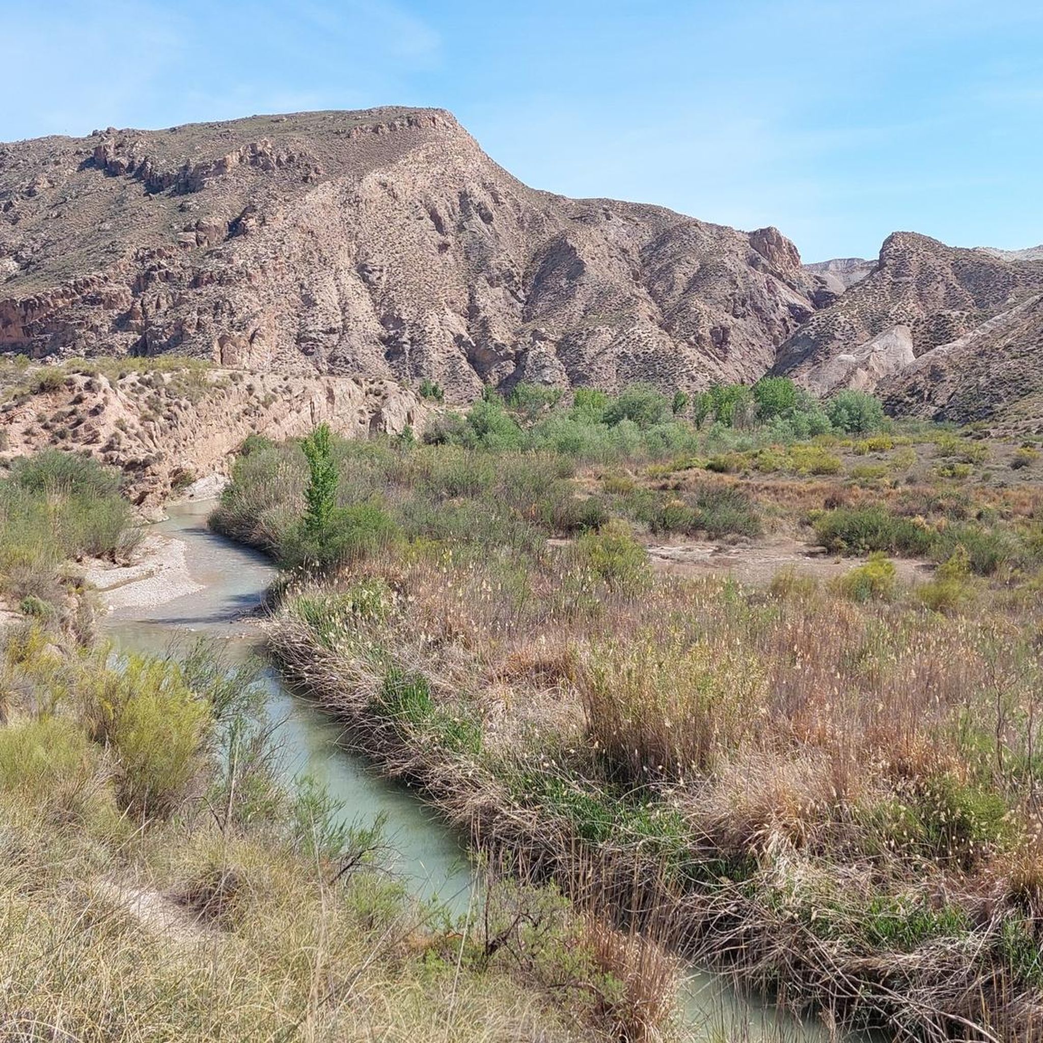
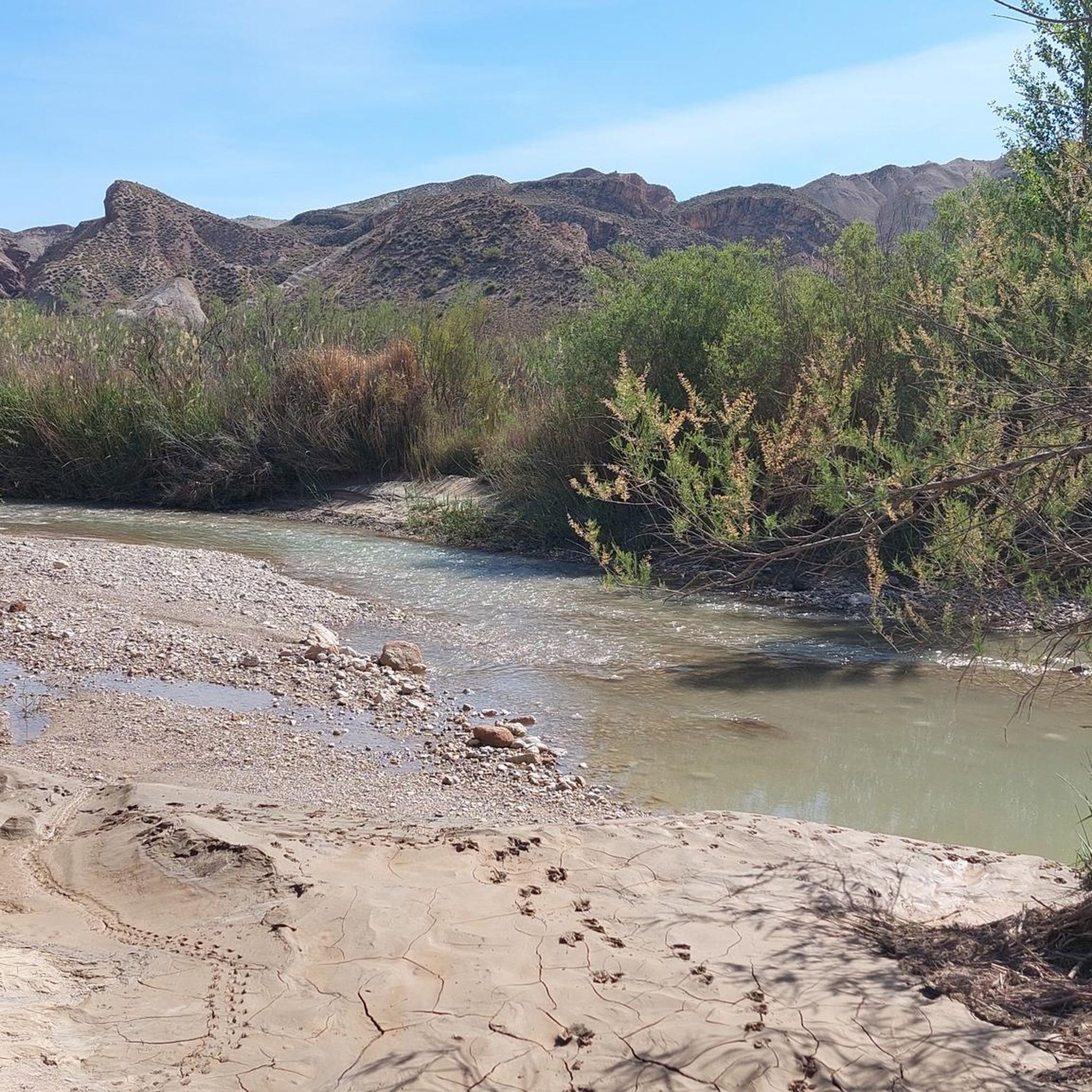
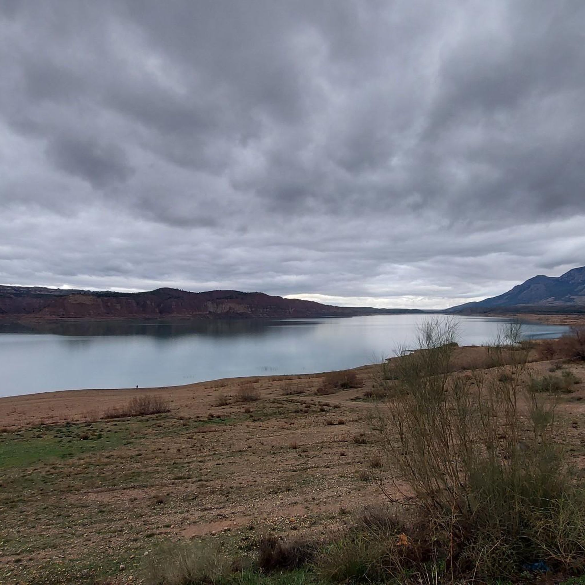
Road cycling routes around Freila traverse a diverse landscape in Granada, Spain, characterized by expansive reservoir waters, reddish wastelands, and fertile valleys. The region features semi-desert badlands and olive groves, offering varied backdrops for cycling. Prominent hills like Cerro Jabalcón provide challenging ascents and panoramic views. This terrain creates a network of road cycling routes suitable for various fitness levels.
Best road cycling routes around Freila
- The most popular road cycling route is Pico Jabalcón and Negratín Reservoir Loop,…
Last updated: July 7, 2026
25
riders
36.9km
01:31
480m
480m
Cycle 23.0 miles (36.9 km) with 1567 feet (478 metres) of gain on this moderate racebike route near Baza, exploring the Geoparque de Granada
11
riders
62.9km
03:17
720m
720m
Cycle the moderate 39.1-mile Plain of the Caves of Campo route, enjoying turquoise Negratín Reservoir views and unique geological formations

Sign up for free
27
riders
76.5km
03:54
1,310m
1,310m
Hard road ride. Very good fitness required. Mostly well-paved surfaces and easy to ride.
22
riders
30.6km
01:39
490m
490m
Moderate road ride. Good fitness required. Some segments of this route may be unpaved and difficult to ride.
4.6
(9)
20
riders
76.3km
03:36
900m
900m
Hard road ride. Very good fitness required. Some segments of this route may be unpaved and difficult to ride.
Get access to more routes and recommendations from other explorers.
Sign up for free
Already have an account?
Our route recommendations are based on thousands of hikes, rides, and runs completed by other people on komoot.
Start today with a free account
Your next adventure awaits.
Login or Signup

Tips from the Community

The water level has rised so much that the pool has been swallowed by the water reservoir. So no bath posible, unless you go to the restaurants pool, but that is not the same experience.
0
0

Challenging gorge, very quiet and unknown in the middle of nature with beautiful views, intended for the real biker and hiker.
0
0
A spectacular route through the southeast of the peninsula between the highlands of Granada in the Baza area towards the Almendricos district, already in the Murcia region, and passes through the Almanzora Valley in Almería. A route that for decades crossed a railway line that transported tons of iron and other merchandise
1
0

It is the most important monument in the city. It was built in the Nasrid period between the 13th and 15th centuries and consists of a tower, two sections of wall, a cistern and a parapet next to it.
8
0

Baza is a city whose municipal area is the largest in the province of Granada, whose population centers depend on it: Baúl (where the section of the greenway begins), La Jamula and Benacebada.
6
0

Everything is going well until the Vía Verde draws a large arc towards the south, enters the large channel of the Rambla de Baza and the Caniles iron bridge appears. The central planks have disappeared and you have to walk carefully along the sides. A sign at the entrance to the bridge recommends the parallel lane to avoid unnecessary risks. The tall chimney of the old Nuestra Señora de las Mercedes sugar factory announces the arrival at the Caniles station, which had an important weight in railway trade from its inauguration, in 1894, until the middle of the 20th century, when the decline of the road that connected Andalusia and the Levant. The buildings have been restored and converted into the Geodiversity Interpretation Center of the Granada Altiplano. In Baza you have to leave the route of the Greenway and visit the historical complex, passing by the Fuente de los Caños Dorados, the Plaza Mayor, the Barrio de San Juan, the alleys of the Jewish quarter, the Old Butcher Shops, the Arrabal de Marzuela , even entering the Arab Baths, and taking the opportunity to have some local delicacies and recover energy for the rest of the stage.
0
0
The stage ends in Serón, a mountain town famous for drying hams, sausages, traditional sweets, cheeses, oil and other products of local gastronomy. The old train station is the best example of mining railway architecture on the Vía Verde Natural Trail of the Almanzora Valley, it has the passenger lobby building, with the characteristic British-style canopy, remains of the rails, loading docks, warehouses goods, rotating platform for trains, mineral loading, water tanks and garages. And it also has a modern planetarium and Interpretation Center. Local services are a couple of kilometers away from the road.
0
0

Bring lots of sunscreen
0
0
Frequently Asked Questions
How many road cycling routes are available around Freila?
Freila offers a selection of 16 road cycling routes, catering to various skill levels. These routes are highly rated by the komoot community, with an average score of 4.9 stars.
What kind of landscapes can I expect to see while road cycling in Freila?
Road cycling in Freila provides a diverse visual experience. You'll encounter the expansive blue waters of the Negratín Reservoir, dramatic reddish wastelands and semi-desert badlands like the Gorafe Desert, and fertile valleys dotted with olive groves. Prominent features like Cerro Jabalcón also offer rewarding views.
Are there road cycling routes suitable for beginners in Freila?
Yes, while many routes offer moderate to difficult challenges, there is at least one route specifically categorized as easy. For those looking for a less strenuous ride, consider exploring the flatter sections around the Negratín Reservoir.
Which routes offer continuous views of the Negratín Reservoir?
Several routes provide excellent views of the Negratín Reservoir. The Pico Jabalcón and Negratín Reservoir Loop and the Negratín Reservoir Loop via Pozo Alcón and Hinojares are both great options that showcase its turquoise waters and surrounding arid hills.
Are there challenging road cycling routes for experienced cyclists?
Absolutely. Freila is known for its challenging terrain, with 9 routes categorized as difficult. These often include significant elevation gains, such as those found around Cerro Jabalcón or longer loops like the Baza – Historic Center of Baza loop from Baza.
What are some notable landmarks or attractions I can see along the road cycling routes?
Beyond the natural beauty, you can encounter unique geological formations like the Los Coloraos Badlands and the Hoodoos of Cuevas del Campo. The Baúl Bridge is another point of interest. Many routes also pass through or near the historic town of Baza.
What is the best time of year for road cycling in Freila?
Freila's climate makes it suitable for cycling for much of the year. Spring and autumn generally offer the most pleasant temperatures for road cycling. Summers can be hot, especially in the semi-desert areas, while winters are milder but can still have cooler days.
Are there any long-distance road cycling routes in the area?
Yes, for cyclists seeking longer distances, routes like the Baza – Historic Center of Baza loop from Baza cover approximately 76.5 km (47.5 miles) and the Negratín Reservoir Loop via Pozo Alcón and Hinojares is about 62.9 km (39.1 miles), offering extended rides.
What do other road cyclists say about Freila?
The komoot community highly rates road cycling in Freila, with an average score of 4.9 stars from over 10 reviews. Cyclists often praise the varied terrain, the stunning views of the Negratín Reservoir, and the unique experience of riding through the badlands.
Can I find loop routes for road cycling in Freila?
Many of the road cycling routes around Freila are designed as loops, allowing you to start and finish at the same point. Examples include the Pico Jabalcón and Negratín Reservoir Loop and the Castillo de Freila – Zújar loop from Zújar.
Are there road cycling routes that pass through historic towns?
Yes, some routes offer a cultural experience by passing through or near historic towns. The Baza – Historic Center of Baza loop from Baza is a prime example, allowing you to explore the charm of Baza.
What are the typical durations for road cycling routes in Freila?
Route durations vary significantly based on distance and elevation. Shorter, moderate loops like the Pico Jabalcón and Negratín Reservoir Loop can take around 1 hour 30 minutes, while longer, more difficult routes such as the Baza – Historic Center of Baza loop from Baza may take nearly 4 hours.
Most popular attractions around Freila

Get inspired with the komoot mobile app


Explore more
Browse the best Road cycling routes in other regions.
