The best walks and hikes around Villarluengo
4.9
(96)
740
hikers
34
hikes
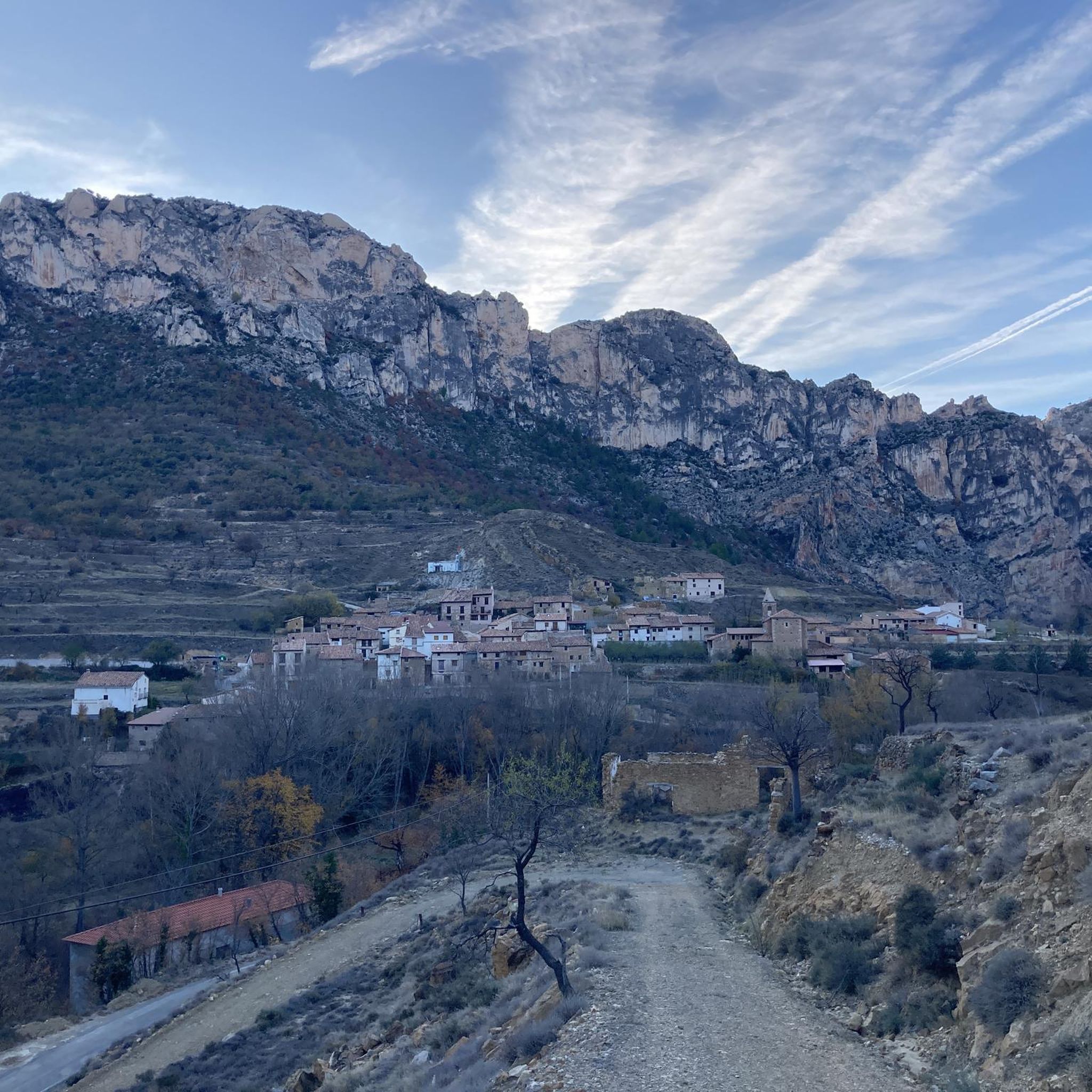
Hiking around Villarluengo offers access to a rugged landscape characterized by limestone spurs, deep gorges, and unique geological formations within Spain's Maestrazgo region. The area features dramatic ravines, towering limestone spires like the Órganos de Montoro, and significant natural monuments such as the Nacimiento del Río Pitarque. This mountainous terrain provides a diverse network of trails for outdoor exploration.
Best hiking trails in Villarluengo
- The most popular hiking route is Nacimiento del Río Pitarque Trail, a 5.6 miles (8.9…
Last updated: August 17, 2026
4.9
(35)
287
hikers
8.95km
02:31
190m
190m
Moderate hike. Good fitness required. Easily-accessible paths. Suitable for all skill levels.
5.0
(10)
59
hikers
3.89km
01:15
160m
160m
Easy hike. Great for any fitness level. Easily-accessible paths. Suitable for all skill levels.

Sign up for free
5.0
(5)
28
hikers
Easy hike. Great for any fitness level. Easily-accessible paths. Suitable for all skill levels.
5.0
(1)
7
hikers
Hard hike. Very good fitness required. Sure-footedness, sturdy shoes and alpine experience required.
5.0
(1)
7
hikers
3.70km
01:14
170m
180m
Easy hike. Great for any fitness level. Easily-accessible paths. Suitable for all skill levels.
Get access to more routes and recommendations from other explorers.
Sign up for free
Already have an account?
Our route recommendations are based on thousands of hikes, rides, and runs completed by other people on komoot.
Start today with a free account
Your next adventure awaits.
Login or Signup

Tips from the Community

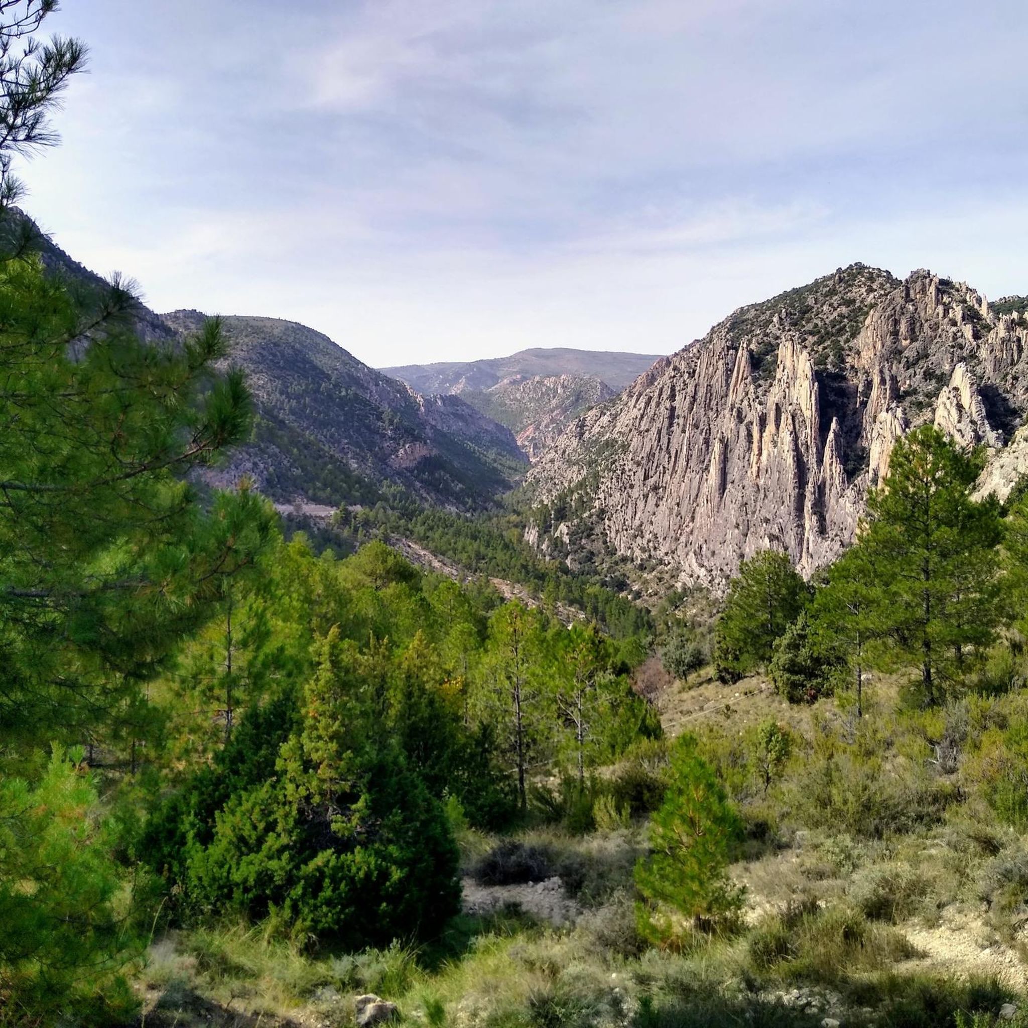
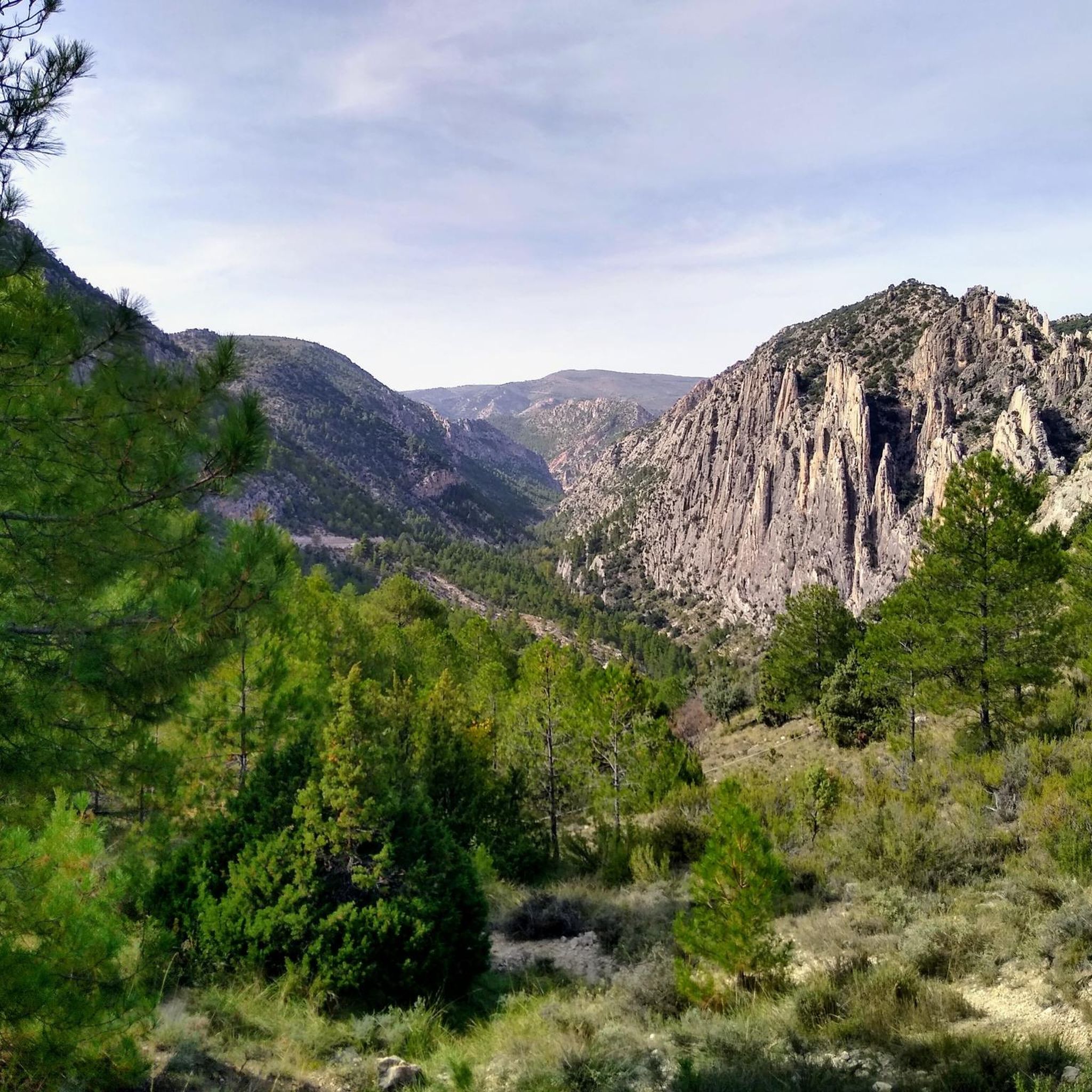
Geological natural monument: The rock ridges, exposed by weathering and erosion, were deposited horizontally in a shallow sea millions of years ago and, through tectonic forces, not only uplifted but also tilted vertically. An impressive example of the effects of the enormous forces of plate tectonics!
1
0
A spectacular hiking trail on well-secured wooden walkways along the cliffs of the picturesque gorge. An absolute hiking highlight, not to be missed!
1
1
A spectacular hiking trail on well-secured wooden walkways along the cliffs of the picturesque gorge. An absolute hiking highlight, not to be missed!
1
0

Bring plenty of water and appropriate footwear. The views are incredible, and if you go in spring, the sky is a deep blue. It's essential.
1
0

It's NOT easy. The climb and subsequent descent to the Valloré viewpoint is quite mountainous, meaning it's steep both uphill and downhill, requiring firm footing and little to no fear of vertigo. Both uphill and downhill, there are exposed sections, with safety cables and metal handholds and steps anchored in the rock. For most, following the trail that climbs the Guadalope River via the footbridges of the Valloré Straits will more than meet their expectations.
1
0

The best thing to do here is to catch your breath after the climb and rest with some wonderful views.
6
0
The Guadalope River Walkways are a series of trails and walkways that allow visitors to explore the stunning landscape of the Guadalope River in the province of Teruel.
6
0

To access the other side, continue a little beyond the chimney, we did not see the pass and we crossed the river, the water was freezing!!!!
0
0
Frequently Asked Questions
How many hiking trails are available around Villarluengo, and what are their difficulty levels?
Villarluengo offers a diverse network of over 25 hiking trails. These include 12 easy routes perfect for a relaxed stroll, 12 moderate trails for those seeking a bit more challenge, and 4 difficult routes for experienced hikers looking for demanding terrain.
What are some of the most notable natural features or landmarks to see while hiking in Villarluengo?
The region is rich in dramatic natural beauty. You can witness the spectacular Source of the Pitarque River, where the river emerges from a rock face. Don't miss the towering limestone spires of the Órganos de Montoro, or the impressive vistas from the Mirador de Valloré. The area also features unique geological formations like the Valloré Footbridges and the Estrecho de Crespol Gorge.
Are there any trails that feature waterfalls in the Villarluengo area?
Yes, the region boasts beautiful water features. You can find a captivating Waterfall in Barranco de la Hoz Mala on the Guadalope River. Additionally, the route to Pozo de Invierno from Villarluengo is known for its beautiful waterfall carved into the rock, making water a central element of the hike.
What do other hikers enjoy most about the trails in Villarluengo?
The trails around Villarluengo are highly regarded by the komoot community, with an average rating of 4.9 stars from over 70 reviews. Hikers frequently praise the dramatic limestone landscapes, the unique geological formations like the Órganos de Montoro, and the well-maintained paths that lead to natural wonders such as the Nacimiento del Río Pitarque.
Are there any family-friendly hiking options in Villarluengo?
Yes, Villarluengo offers several easy paths suitable for families. The Valloré Viewpoint Trail is an easy 3.9 km path that provides impressive vistas without being too strenuous, making it a great option for families.
Can I bring my dog on the hiking trails in Villarluengo?
Many trails in the Villarluengo region are suitable for dogs, allowing you to explore the natural beauty with your canine companion. It's always recommended to keep dogs on a leash, especially in areas with wildlife or near livestock, and to check specific trail regulations if available.
Are there any circular hiking routes available in Villarluengo?
Yes, there are several circular routes to enjoy. For example, the Valloré Footbridges – Valloré Footbridges loop from Montoro de Mezquita is an easy 2.9 km circular hike. Another option is the more challenging Source of the Pitarque River – Source of the Pitarque River loop from Pitarque, which is a 16.3 km difficult route.
What is the best time of year to go hiking in Villarluengo?
The Maestrazgo region, including Villarluengo, generally offers pleasant hiking conditions during spring and autumn when temperatures are milder. Summer can be hot, especially in the gorges, while winter can bring colder temperatures and occasional snow at higher elevations. Always check the local weather forecast before heading out.
Are there any long-distance hiking trails that pass through Villarluengo?
Yes, the region is part of a larger network of trails. The GR 8 and its variants, as well as short-distance trails (PR), connect various municipalities and natural attractions. The Maestrazgo Trail (GR 8): Tronchón to Mirambel is a 14.7 km section of this extensive network, offering a longer hiking experience through varied terrain.
What kind of wildlife might I encounter while hiking in Villarluengo?
The rugged terrain of Villarluengo is home to diverse wildlife. Hikers may have the chance to spot Spanish ibex (cabras hispánicas) on the rocky slopes and various raptors soaring overhead in the dramatic skies of the Maestrazgo region.
Is there parking available for hikers near the trailheads in Villarluengo?
While specific parking details for every trailhead are not always listed, Villarluengo and surrounding villages typically offer designated parking areas for visitors. It's advisable to check local signage or information boards upon arrival for the most convenient parking options for your chosen route.
Most popular attractions around Villarluengo

Get inspired with the komoot mobile app


Explore more
Browse the best Hikes in other regions.
