The best walks and hikes around Micereces De Tera
4.8
(4)
24
hikers
6
hikes
Hiking around Micereces De Tera offers access to the diverse landscapes of the Tera River valley and the nearby Sanabria Lake Natural Park. The region is characterized by its glacial origins, featuring river gorges, valleys, and moraines. Oak forests are predominant, particularly along the Tera basin, providing varied terrain for outdoor activities.
Best hiking trails around Micereces De Tera
- The most popular hiking route is El Balcón de Basilia y Cima del Coto desde Morales de Rey — circular,…
Last updated: July 4, 2026
5
hikers
7.83km
02:13
170m
170m
Moderate hike. Good fitness required. Easily-accessible paths. Suitable for all skill levels.
13.4km
03:24
30m
30m
Moderate hike. Good fitness required. Easily-accessible paths. Suitable for all skill levels.

Sign up for free
4.57km
01:10
20m
20m
Easy hike. Great for any fitness level. Easily-accessible paths. Suitable for all skill levels.
Moderate hike. Good fitness required. Easily-accessible paths. Suitable for all skill levels.
15.4km
03:59
90m
90m
Moderate hike. Good fitness required. Easily-accessible paths. Suitable for all skill levels.
Our route recommendations are based on thousands of hikes, rides, and runs completed by other people on komoot.
Start today with a free account
Your next adventure awaits.
Login or Signup
Popular around Micereces De Tera
Tips from the Community

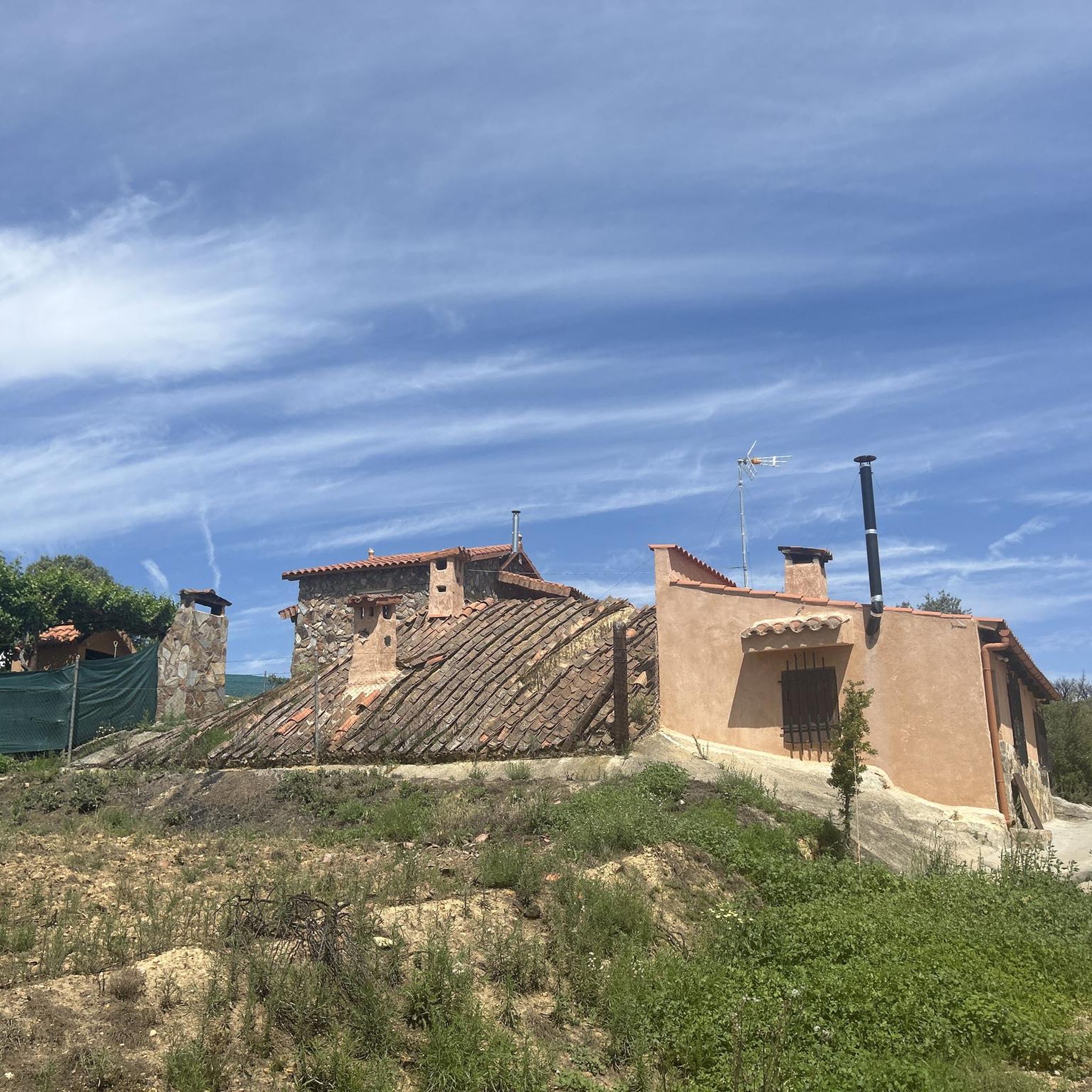
The traditional wineries dug into the slopes of El Teso and Peña Redonda are located in Morales de Rey, in the region of Benavente and Los Valles, in the province of Zamora. These popular buildings were and continue to be places of leisure and gathering for local residents, in addition to being used for winemaking and storage. Morales de Rey has the largest number of wineries and the best-preserved ones in the region. These wineries are a testament to the rich winemaking tradition of the area and offer a unique experience for visitors interested in the history and culture of wine.
5
0
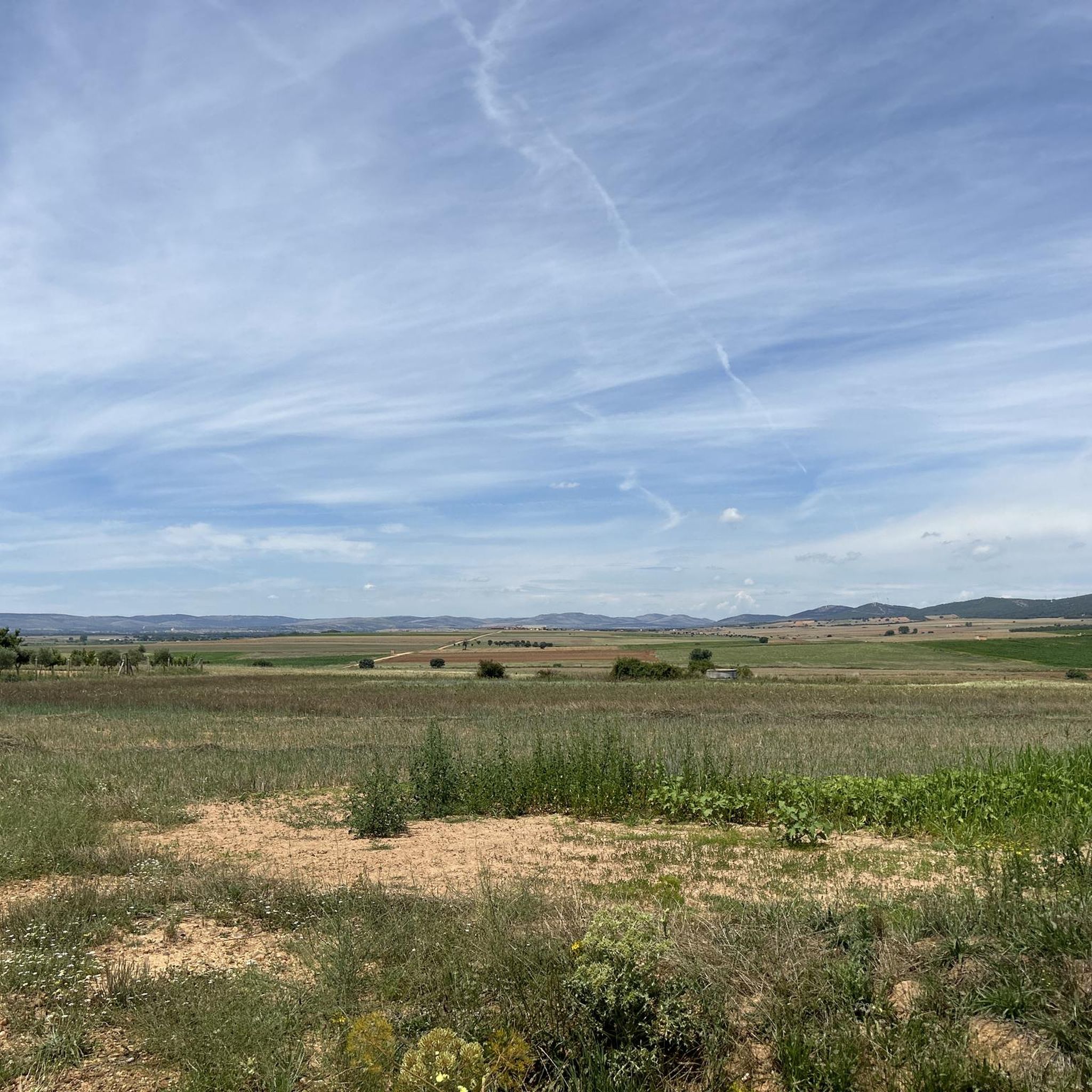
The Balcón de Basilia is a viewpoint located in Morales de Rey, in the region of Benavente and Los Valles, in the province of Zamora. This spot is known for offering one of the best panoramic views of Morales de Rey and its surroundings. Traditionally, the town's young people used to gather here every April 25th to celebrate the Tortillero, a local festival. The Balcón de Basilia is a popular destination for hiking enthusiasts, with several trails that allow you to enjoy the landscape and nature of the area. One of the recommended trails is the one that runs from Morales de Rey to the summit of Coto, passing through the Balcón de Basilia.
2
0

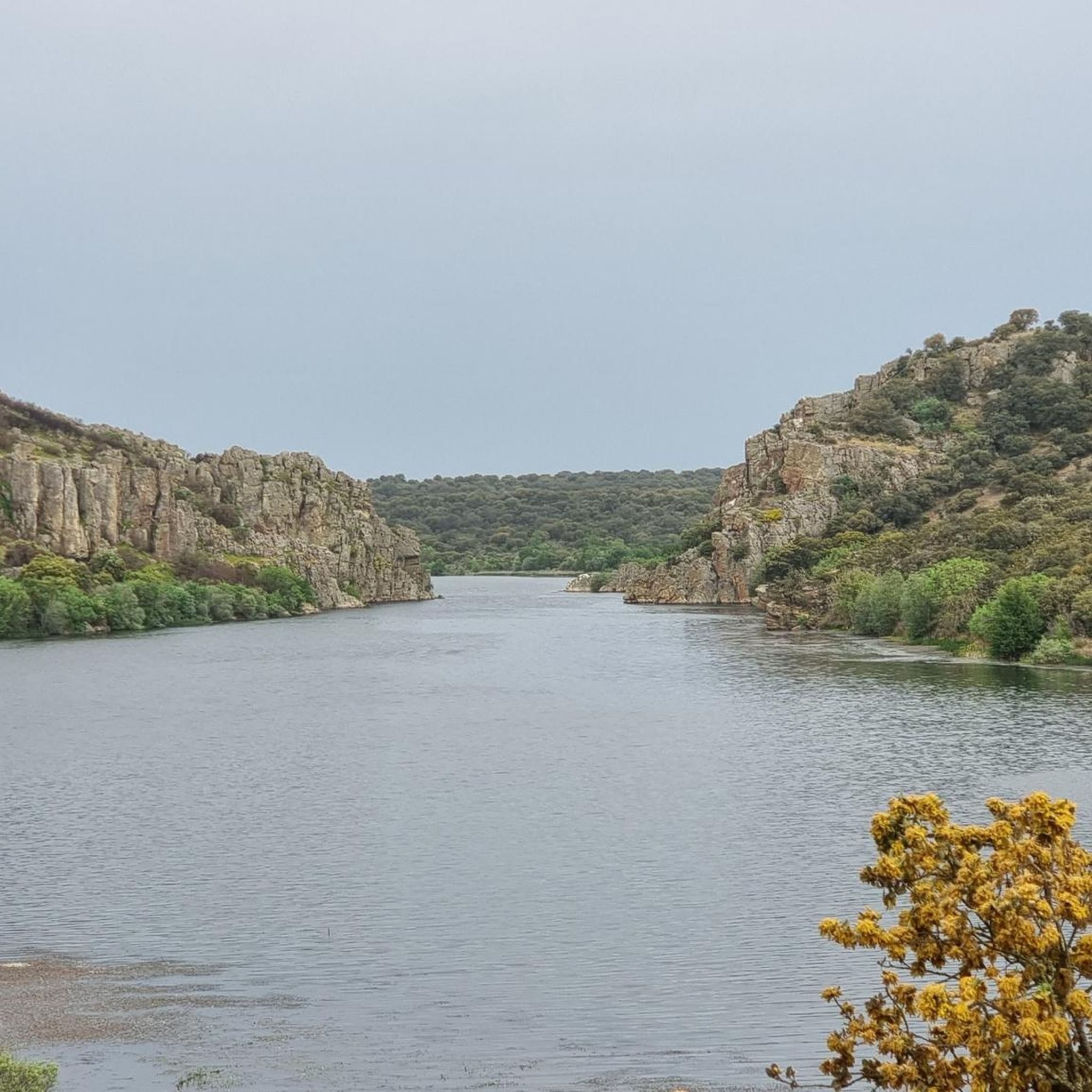
The Tera River is the setting for this incredible outdoor natural park. You can find riverside hiking trails and even a river beach to soak in on a hot summer day or go fishing.
1
0
A beautiful and charming church in the small town of Mózar on the banks of the Tera River.
1
0
Brime de Urz is a small town at the foot of the Sierra de Carpurias. Walk to the small chapel at the top of the hill where you can take in beautiful views of the valley and mountains.
1
0
A prehistoric stone circle. The structure was usually built from locally quarried granite or slate. They were used for various ceremonies throughout the seasons.
2
0
Rectangular wall that surrounds the ruins of the Castle-palace of the counts of Benavente built in the 15th century.
1
0
Surrounded by fields is a small and charming chapel on the outskirts of the town of Granucillo. You can rest under the shade of the trees during your walk.
1
0
Frequently Asked Questions
How many hiking trails are available around Micereces De Tera?
There are 6 hiking routes available around Micereces De Tera, offering a variety of experiences. These trails range from easy strolls to more challenging moderate hikes, exploring the diverse landscapes of the Tera River valley and its surroundings.
Are there easy hiking trails suitable for beginners or families in Micereces De Tera?
Yes, there is an easy route perfect for beginners or families looking for a gentle walk. The Mózar — circular by the Iglesia and the río Tera is a 4.6 km (2.8 miles) trail that takes about 1 hour 10 minutes, leading through the village and along the Tera River.
What kind of natural features and landmarks can I expect to see while hiking around Micereces De Tera?
Hiking around Micereces De Tera offers diverse natural features, primarily shaped by the Tera River and its proximity to the Sanabria Lake Natural Park. You can expect to see the dramatic Tera River valley, extensive oak forests, and glacial landscapes. Notable landmarks include viewpoints like Basilia's Balcony, and historical sites such as the Church of Santa Marta de Tera or Granucillo Castle.
Are there any circular hiking routes in the area?
Yes, many of the trails around Micereces De Tera are circular, allowing you to start and end at the same point. For example, the popular El Balcón de Basilia y Cima del Coto desde Morales de Rey — circular and the scenic Peña Redonda and miradores del Coto and de las Suertes — circular by the Valles de Benavente from Morales de Rey are both circular options.
What is the best time of year to go hiking in Micereces De Tera?
The region experiences a continental climate, making spring (April-June) and autumn (September-October) ideal for hiking. During these seasons, temperatures are pleasant, and the natural scenery, from blooming wildflowers to vibrant autumn foliage, is at its most beautiful. Summers can be warm, while winters can be cold, especially at higher elevations.
Are there any trails that offer great viewpoints?
Absolutely. The area is known for its scenic vistas. The route El Balcón de Basilia y Cima del Coto desde Morales de Rey — circular offers views from Cima del Coto. Another excellent option is Peña Redonda and miradores del Coto and de las Suertes — circular by the Valles de Benavente from Morales de Rey, which provides stunning viewpoints over the Valles de Benavente.
Are there any trails along the Tera River?
Yes, the Tera River is a central feature of the region, and several trails follow its course. The Mózar — circular by the Iglesia and the río Tera route, for instance, includes a section along the river, allowing you to enjoy its natural beauty and tranquil atmosphere.
What is the typical terrain like on the hiking trails?
The terrain around Micereces De Tera is varied, reflecting its glacial origins and river valley location. You'll encounter paths through extensive oak forests, along riverbanks, and over gentle hills. Some routes may feature rocky sections, especially closer to the Tera River Canyon, but generally, the trails are well-suited for walking.
Are there options for longer, more challenging hikes?
While many routes are moderate, the region's proximity to the Sanabria Lake Natural Park and the Sierra de la Culebra mountain range means there are opportunities for longer and more challenging hikes. For example, the Granucillo from Brime de Urz — circular by the Dolmans and the Castle is a moderate 15.4 km (9.6 miles) route, offering a longer exploration of the landscape.
Is Micereces De Tera a good base for exploring the Sanabria Lake Natural Park?
Yes, Micereces De Tera serves as an excellent base for exploring the broader Sanabria Lake Natural Park. The park, known for its glacial lakes, including Spain's largest glacial lake, Sanabria Lake, and its mountainous terrain, offers an extensive network of trails. While not directly within the park, Micereces de Tera's location provides convenient access to its natural wonders.
Are there any facilities like picnic areas or places to rest along the trails?
While specific facilities vary by trail, the region offers natural spots for rest. For example, the Picnic Area by the River is a designated spot where you can relax and enjoy the surroundings. Many trails also pass through villages where you might find local amenities.
What is the average duration of hikes in this area?
The duration of hikes around Micereces De Tera varies depending on the route's length and difficulty. Shorter, easy trails like the Mózar — circular by the Iglesia and the río Tera can be completed in just over an hour. Moderate routes, such as El Balcón de Basilia y Cima del Coto desde Morales de Rey — circular, typically take around 2 hours 15 minutes, while longer moderate trails can extend to 3-4 hours or more.
Most popular attractions around Micereces De Tera

Get inspired with the komoot mobile app


Explore more
Browse the best Hikes in other regions.
