The best road cycling routes around Tornadizos De Ávila
4.8
(17)
2,240
riders
95
rides
Road cycling routes around Tornadizos de Ávila offer diverse terrain, situated between the Sierra de Ávila and the Valle Amblés, and near the Sierra de Gredos mountain range. The region features a mix of gentle stretches and challenging climbs, with elevations reaching significant heights in the surrounding sierras. Paved roads provide a suitable surface for road cyclists to explore the varied landscapes, which include rugged expanses and scenic valleys.
Best road cycling routes around Tornadizos De Ávila
- The most popular…
Last updated: October 28, 2026
27
riders
87.8km
04:36
1,600m
1,600m
Hard road ride. Very good fitness required. Mostly well-paved surfaces and easy to ride.
20
riders
50.8km
02:24
620m
620m
Moderate road ride. Good fitness required. Mostly well-paved surfaces and easy to ride.

66
riders
31.1km
01:23
200m
200m
Easy road ride. Mostly well-paved surfaces and easy to ride.
31
riders
Hard road ride. Very good fitness required. Mostly well-paved surfaces and easy to ride.
28
riders
64.3km
03:09
830m
830m
Moderate road ride. Good fitness required. Some segments of this route may be unpaved and difficult to ride.
Get access to more routes and recommendations from other explorers.
Already have an account?
Our route recommendations are based on thousands of hikes, rides, and runs completed by other people on komoot.
Start today with a free account
Your next adventure awaits.


Tips from the Community

The Sancti Spiritus Bridge in Ávila is a historic structure that crosses the Chico River, very close to the Chico River Park. It is a medieval-style stone bridge, probably linked to the ancient Monastery of Sancti Spiritus, founded in the 13th century.
2
0
The Church of San Miguel Arcángel in Tornadizos de Ávila is a church of great historical and cultural significance. Built of ashlar and masonry, it is liturgical in nature. The Brotherhood of the Holy True Cross, an institution of great importance in local religious life, was founded in this parish more than four centuries ago.
2
0
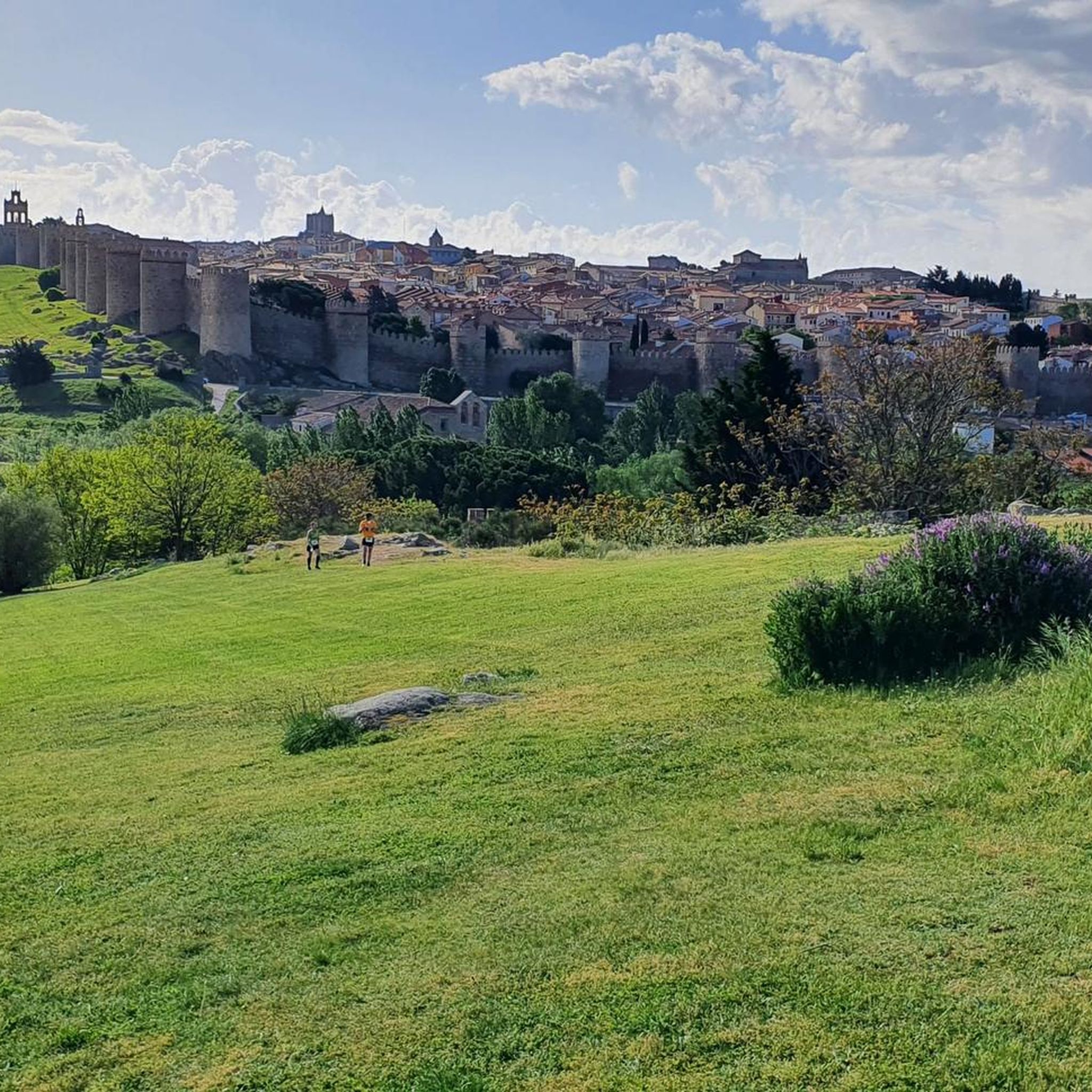
The Walls of Ávila are an impressive medieval fortification that surrounds the old town of Ávila, in Castile and León. These walls, built in the 11th century, are one of the best-preserved walled enclosures in Spain and were declared a UNESCO World Heritage Site in 1985.
11
0
This bridge was built to facilitate crossing the Adaja River and connect the Roman city of Ávila with the opposite bank. Although only the hidden abutments on the edges of the original Roman bridge remain, the bridge visible today dates back to the 12th century.
13
0

The bridge is nice, the area not so much.
0
1
The truth is that it is a wonderful viewpoint of Ávila.
1
0
One of the most visited areas of the walls.
4
0
Aldea del Rey Niño is a Spanish district that belongs to the municipality of Ávila, capital of the homonymous province, in the autonomous community of Castilla y León. Although its full history is not yet fully documented, archaeological remains have been found indicating the existence of Roman settlements in the area. The town is located inside the municipality of Ávila, in the foothills of the Sierra de Yemas. If you ever get the chance, I highly recommend exploring this charming area. 🏞️🌿
2
0
Frequently Asked Questions
How many road cycling routes are available around Tornadizos de Ávila?
There are over 65 road cycling routes in the Tornadizos de Ávila area, offering a wide range of experiences from easy rides to very challenging ascents. The komoot community has explored these routes over 1700 times.
Are there road cycling routes suitable for beginners in Tornadizos de Ávila?
Yes, the region offers several easy routes perfect for beginners. These routes often feature gentle stretches, particularly those starting from the village center. An example is the Sancti Spiritu Bridge – Río Chico Park loop from Ávila, which is 24.2 miles (38.9 km) long and has minimal elevation gain.
Where can I find challenging road cycling routes with significant climbs?
For experienced cyclists seeking a challenge, the area around Tornadizos de Ávila, especially towards the Sierra de Gredos and Sierra de la Paramera, offers numerous demanding routes. These include significant elevation gains, with some ascents exceeding 1,500 meters. A particularly difficult route is the Puertos de Arrebatacapas y Paramera — circular desde Ávila, which covers 54.5 miles (87.8 km) with substantial climbing.
Are there any circular road cycling routes in the area?
Yes, many road cycling routes around Tornadizos de Ávila are circular, allowing you to start and finish in the same location. For example, the Sierra de Ávila and Puerto de las Fuentes Loop is a popular 51.0-mile (82.2 km) circular route with varied terrain. Another option is the Embalse de las Cogotas-Mingorría y Cardeñosa — circular desde Ávila, which is 31.5 miles (50.8 km) long.
What kind of landscapes can I expect to see while road cycling here?
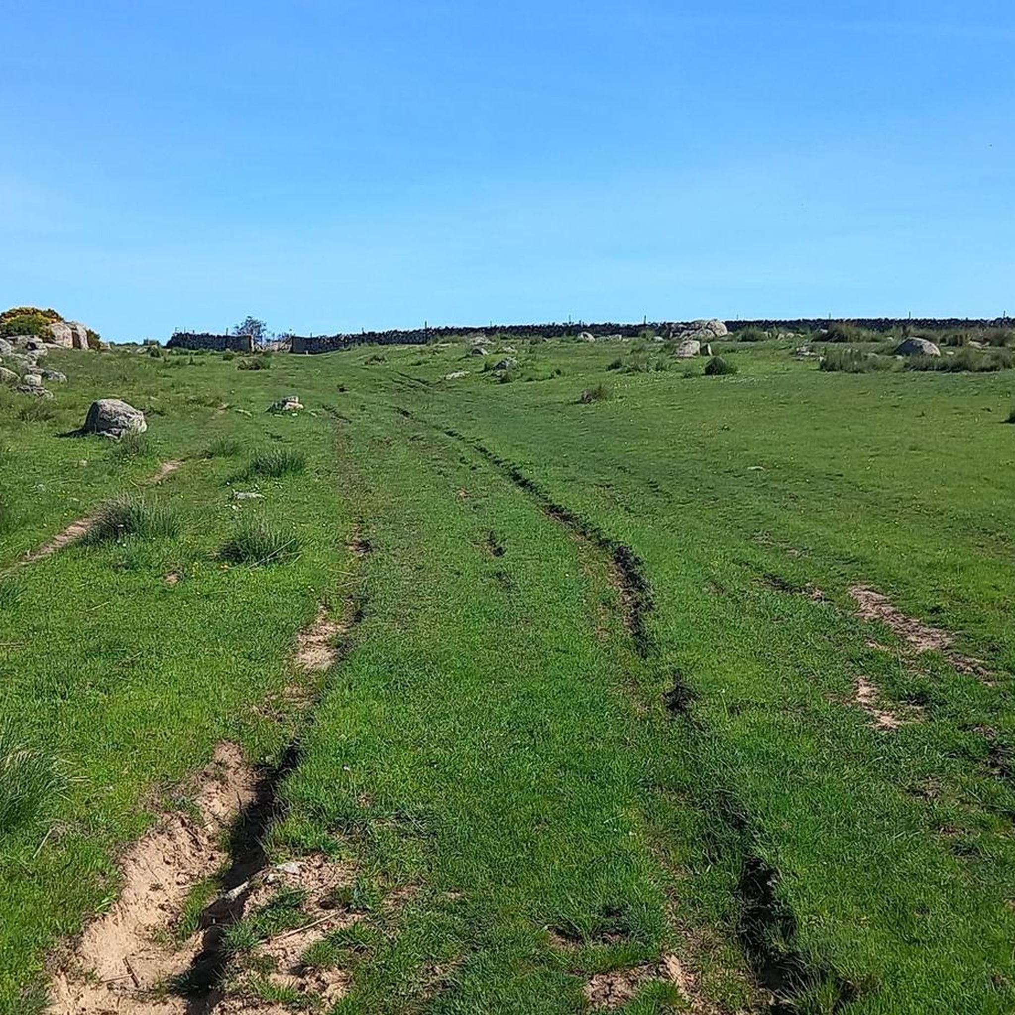
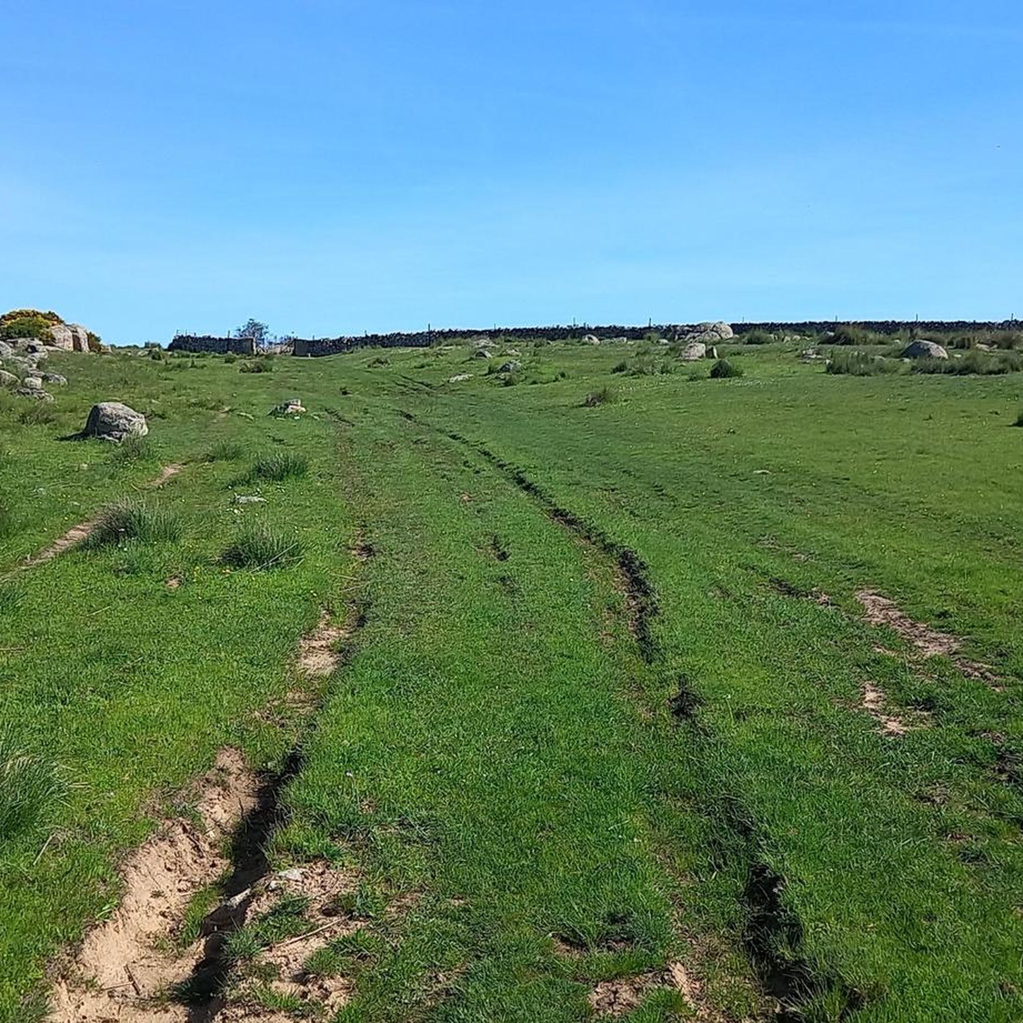
The region offers diverse landscapes, from the rugged, rocky expanses of the Sierra de la Paramera to the scenic Valle Amblés, opened by the Adaja River. You'll encounter green fields, traditional villages, and panoramic views, especially when climbing to higher elevations like Cerro de la Cabeza. The routes are predominantly on paved roads, ensuring a smooth ride through these varied settings.
Are there any scenic viewpoints or natural attractions along the routes?
Absolutely. Many routes offer breathtaking views, particularly from mountain passes and summits. You can also find natural attractions like the Navalperal de Pinares Reservoir, which provides a peaceful setting. For panoramic vistas, consider routes that pass near Cerro de la Cabeza, offering views of the surrounding valleys.
What historical or cultural sites can I explore near the road cycling routes?
Tornadizos de Ávila is very close to the historic city of Ávila, a UNESCO World Heritage Site. You can easily combine your ride with a visit to iconic landmarks such as the Ávila City Walls, the Plaza del Mercado Chico, or the Old Roman bridge over the Adaja River. Some routes, like the 'Camino Real,' even follow old trade roads, offering cultural insights.
What is the best time of year for road cycling in Tornadizos de Ávila?
The diverse terrain and proximity to mountain ranges mean that spring and autumn generally offer the most pleasant conditions for road cycling, with milder temperatures. Summer can be warm, especially in the valleys, while winter can bring colder temperatures and potentially snow at higher elevations in the Sierra de Gredos, making it more challenging.
What do other road cyclists enjoy most about road cycling in Tornadizos de Ávila?
The area is highly rated by the komoot community, with an average score of 5.0 stars. Reviewers often praise the diverse terrain, from gentle valley rides to challenging mountain climbs, and the well-maintained paved roads. The opportunity to combine physical activity with the appreciation of natural beauty and rich cultural heritage, especially with Ávila city nearby, is also frequently highlighted.
Are there any routes that pass by reservoirs or bodies of water?
Yes, some routes in the region will take you past beautiful bodies of water. For instance, the Embalse de las Cogotas-Mingorría y Cardeñosa — circular desde Ávila route leads through rural landscapes and near reservoirs. Additionally, the Navalperal de Pinares Reservoir is a notable natural feature in the broader area.
How long do road cycling routes typically take in this region?
Route durations vary significantly based on distance and difficulty. Easy routes like the Sancti Spiritu Bridge – Río Chico Park loop from Ávila can be completed in about 2 hours. Moderate routes, such as the Sierra de Ávila and Puerto de las Fuentes Loop, typically take around 3 hours 43 minutes. More difficult routes, like the Puertos de Arrebatacapas y Paramera — circular desde Ávila, can take over 4 hours 30 minutes due to significant climbing.
Most popular routes around Tornadizos De Ávila
Most popular attractions around Tornadizos De Ávila

Get inspired with the komoot mobile app


Explore more
Browse the best Road cycling routes in other regions.
