The best running trails around Arraya De Oca
5.0
(4)
24
runners
8
runs
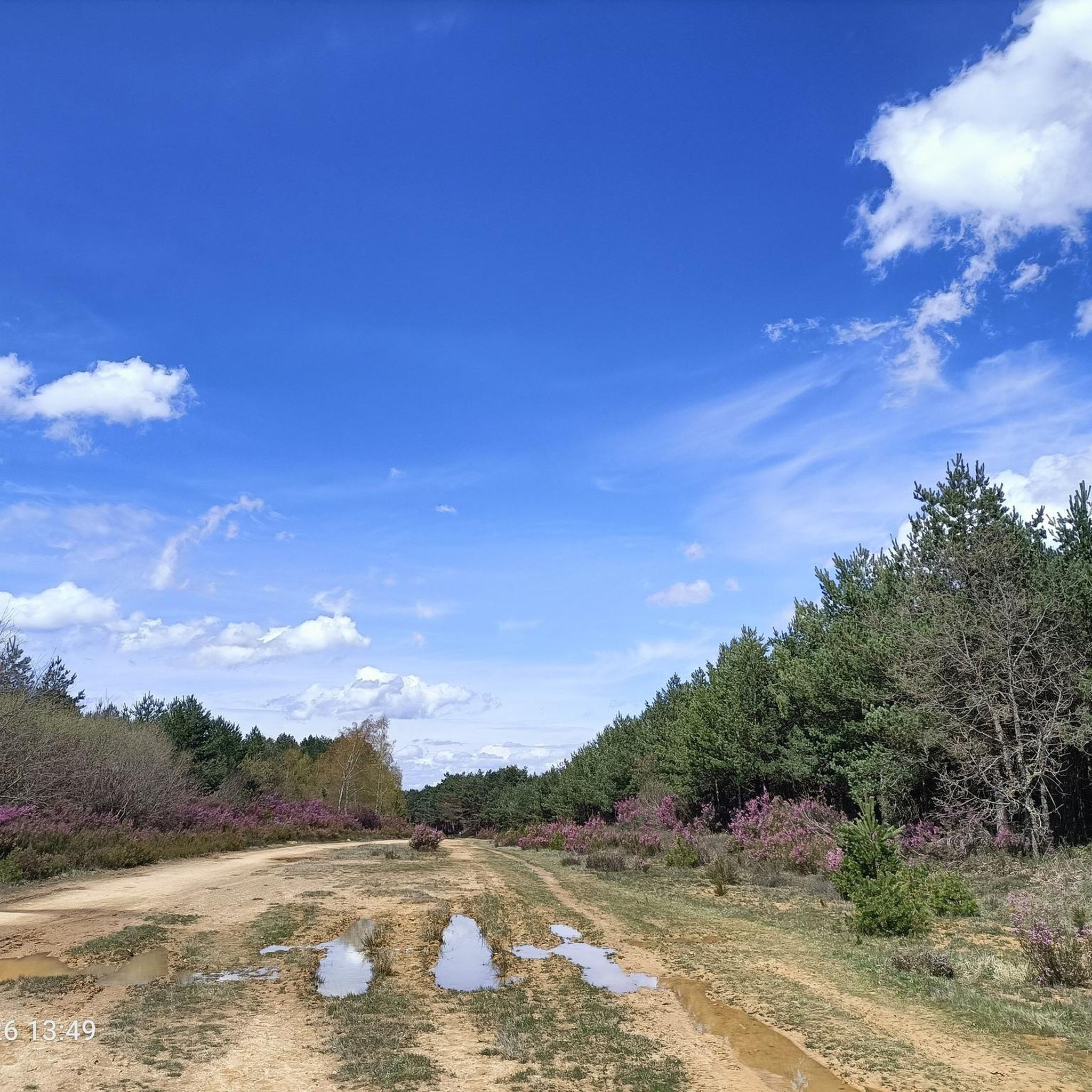
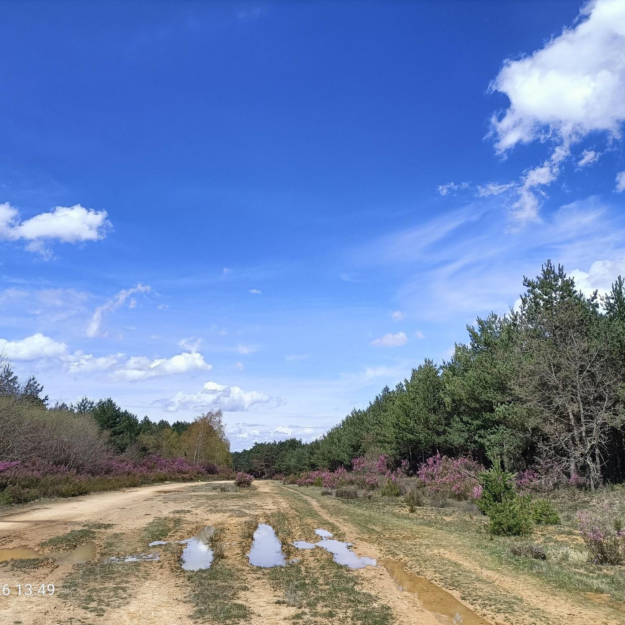
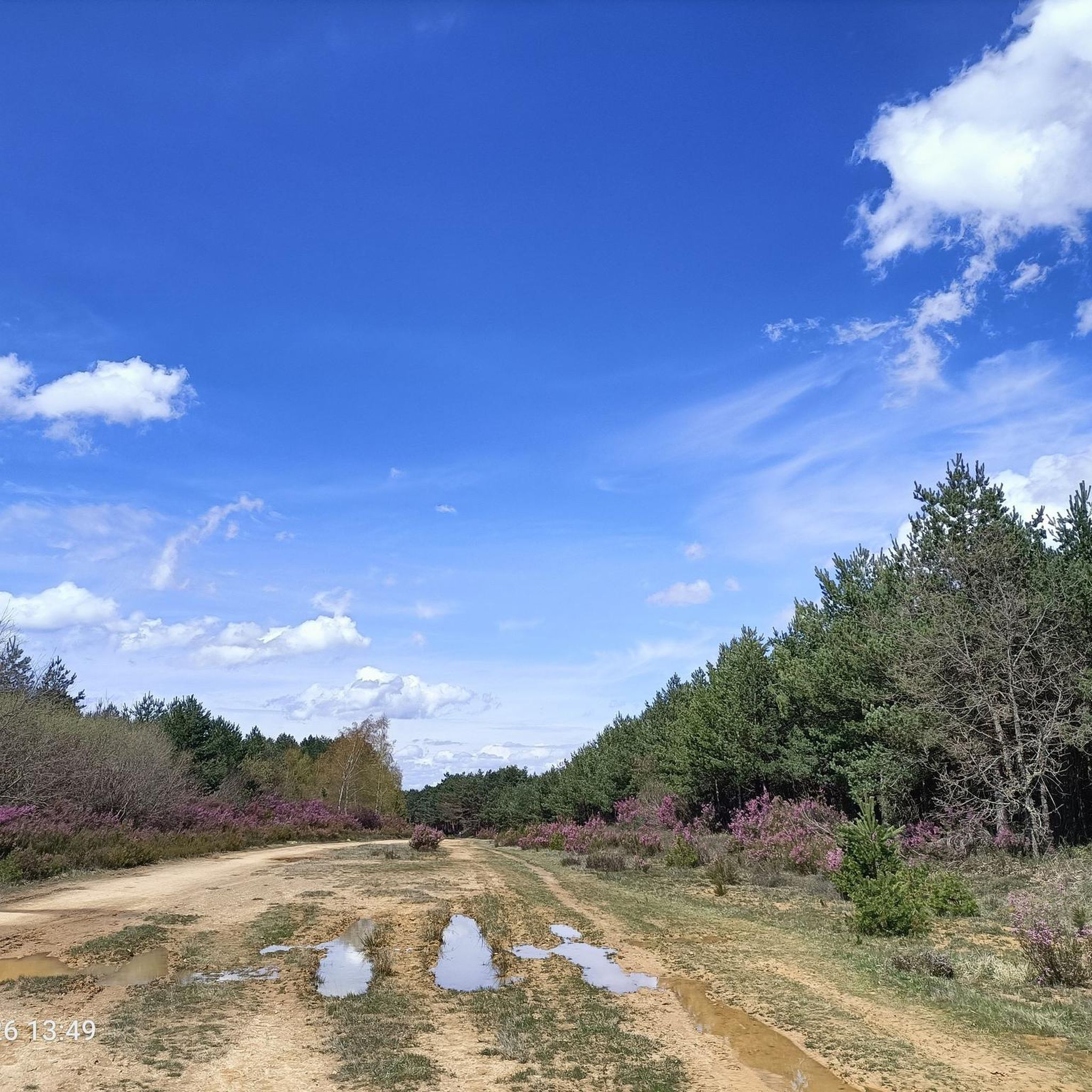
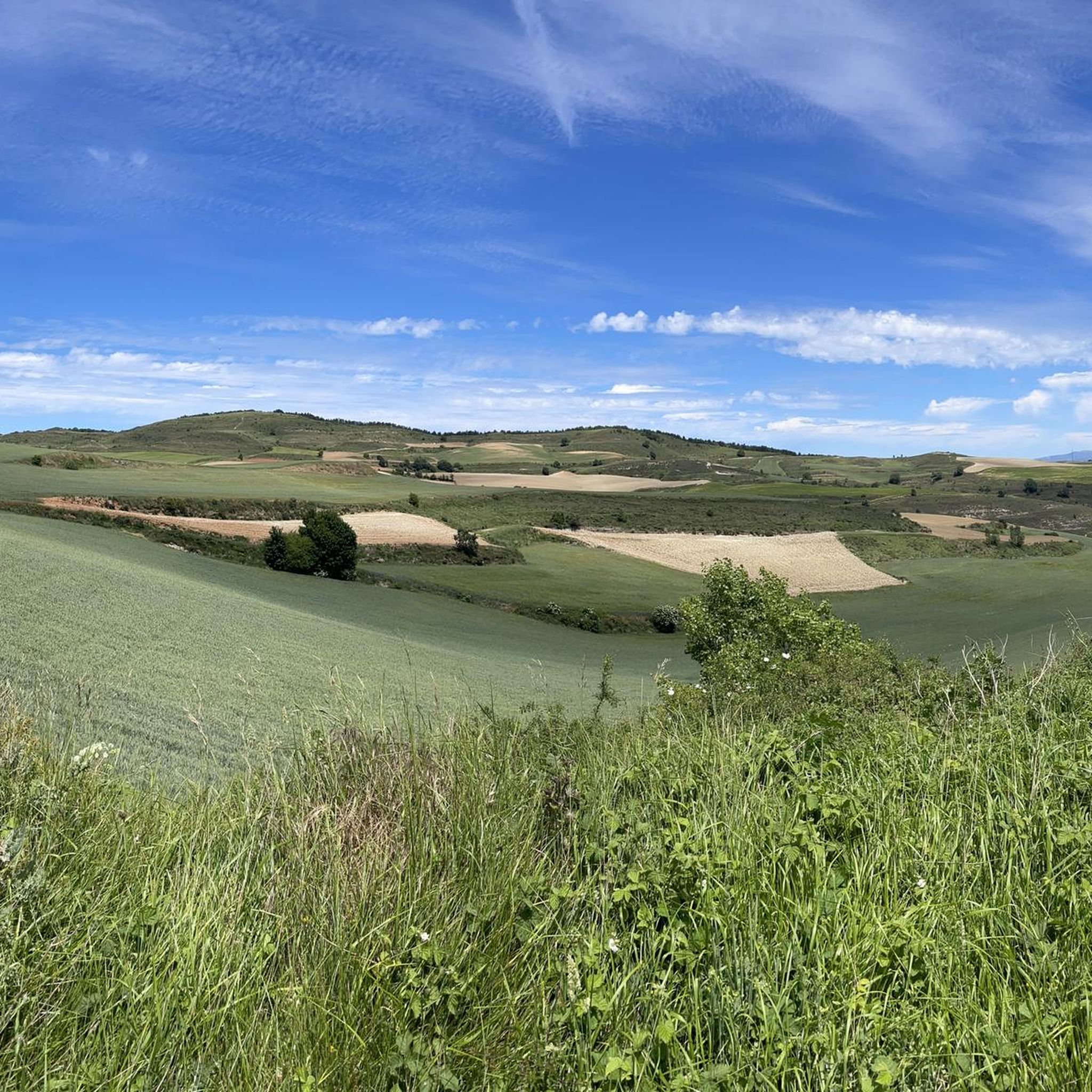
Jogging routes around Arraya de Oca traverse a landscape characterized by the Montes de Oca mountain range, offering varied altitudes and terrains. The region is also close to the Sierra de la Demanda and the Montes Obarenes Natural Park, providing extensive natural environments. Additionally, the historic Camino Francés passes through the area, offering well-established paths suitable for longer runs. These features combine to create diverse running opportunities.
Best jogging routes around Arraya de Oca
- The most popular jogging route is…
Last updated: October 29, 2026
4
runners
6.45km
00:42
20m
20m
Moderate run. Good fitness required. Mostly paved surfaces.
4
runners
4.22km
00:26
10m
10m
Easy run. Mostly paved surfaces.

6
runners
67.7km
07:17
670m
670m
Hard run. Very good fitness required. Mostly paved surfaces.
5.0
(2)
1
runners
6.92km
00:48
170m
170m
Moderate run. Good fitness required. Mostly paved surfaces.
1
runners
14.2km
01:40
300m
290m
Hard run. Very good fitness required. Mostly paved surfaces.
Get access to more routes and recommendations from other explorers.
Already have an account?
Our route recommendations are based on thousands of hikes, rides, and runs completed by other people on komoot.
Start today with a free account
Your next adventure awaits.

Tips from the Community

Place with a view of the stream
8
0


The banks of the Arlanzón river as it passes through Burgos are a perfect setting for outdoor sports.
1
1
Bridge that connects fuentes Blancas with La Ventila.
0
0

It's the first town after driving for miles through the woods with no one around.
0
0

In Burgos, the Arlanzón River Park is ideal for activities such as hiking, sport fishing (trout and barbel), and walks along trails such as the Molino del Cubo or the Puente del Abad.
3
0
The Arlanzón River is one of the most important natural features of the city of Burgos and its surroundings. Source: In the Sierra de la Demanda, specifically in the Fuente de Tañuelos, near San Millán Peak (2,131 m), in the municipality of Riocavado de la Sierra.
3
0
In Burgos, there are several bridges that cross the Arlanzón River, each with its own history and heritage value.
2
0
Frequently Asked Questions
How many running routes are available in Arraya de Oca?
There are currently 4 running routes detailed for Arraya de Oca, ranging from moderate to difficult, offering diverse experiences for runners.
What kind of terrain can I expect on jogging routes in Arraya de Oca?
Jogging routes in Arraya de Oca traverse varied terrain, primarily characterized by the Montes de Oca mountain range. You'll find paths with varying altitudes and landscapes, including sections of the historic Camino Francés, and areas close to the Sierra de la Demanda and Montes Obarenes Natural Park.
Are there any easy running routes suitable for beginners in Arraya de Oca?
While many routes offer a challenge, the Lagunas de Atapuerca loop from Atapuerca is a moderate 4.0-mile (6.5 km) trail with minimal elevation gain, making it a good option for those looking for a less strenuous run.
Are there options for longer distance running in Arraya de Oca?
Yes, for longer runs, consider routes like the Villasur de Herreros loop from Villasur de Herreros, which is a challenging 10.6-mile (17.0 km) path with significant elevation changes, or the Murals of Reinoso loop from Reinoso de Bureba, a difficult 8.8-mile (14.2 km) route.
What natural features or landmarks can I see while running in Arraya de Oca?
The region is rich in natural beauty. You can encounter the Montes de Oca, the Sierra de la Demanda, and picturesque valleys. Some routes may pass near lagoons like Laguna Valliciruelas or offer views of reservoirs such as EmbalseDeAlba. The historic Camino Francés also traverses the area, offering a glimpse into its cultural heritage.
Are there family-friendly running routes in Arraya de Oca?
For families, the Lagunas de Atapuerca loop from Atapuerca is a moderate option that is relatively flat and offers pleasant views, suitable for a family outing.
Can I bring my dog on the running trails in Arraya de Oca?
Many natural trails in Arraya de Oca are suitable for running with dogs, but it's always recommended to keep them on a leash, especially in protected areas or near livestock, and to check local regulations for specific routes.
Are there circular running routes available?
Yes, most of the featured routes are circular, allowing you to start and finish at the same point. Examples include the Lagunas de Atapuerca loop from Atapuerca and the Running loop from Monasterio de Rodilla.
What are the best times of year for jogging in Arraya de Oca?
The spring and autumn months generally offer the most pleasant weather for jogging in Arraya de Oca, with milder temperatures and beautiful natural scenery. Summers can be warm, and winters can be cold, so plan accordingly.
Where can I find parking for running routes in Arraya de Oca?
Parking availability varies by trailhead. For routes starting from villages like Atapuerca, Villasur de Herreros, Monasterio de Rodilla, or Reinoso de Bureba, you can typically find parking within or on the outskirts of these communities.
Are there cafes or places to eat near the running routes in Arraya de Oca?
Arraya de Oca and its surrounding villages, such as Atapuerca and Monasterio de Rodilla, offer local amenities including cafes and restaurants where you can refuel after your run. These are often found in the village centers.
Is public transport available to reach trailheads in Arraya de Oca?
Public transport options to reach specific trailheads in Arraya de Oca may be limited. It is advisable to check local bus schedules for connections to the main villages, but for direct access to many routes, personal transport is often more convenient.
Most popular attractions around Arraya De Oca

Get inspired with the komoot mobile app


Explore more
Browse the best Running Trails & Routes in other regions.
