The best mountain hikes around Pasaia
5.0
(3)
9
hikers
3
hikes
Mountaineering routes around Pasaia are characterized by the region's rugged coastal terrain and verdant hills. The landscape features a mix of forested slopes, open ridges, and views of the Bay of Pasaia. This area provides diverse opportunities for mountaineering, from moderate ascents to more challenging paths.
Best mountaineering routes around Pasaia
- The most popular mountaineering route is Aritxulegi loop from Lasaingana, a 6.8 miles (10.9 km) trail that takes about 4 hours 20 minutes to complete. This moderate route…
Last updated: July 2, 2026
5
hikers
11.0km
04:25
530m
530m
Moderate mountaineering route. Good fitness required. Mostly accessible paths. Sure-footedness required.
5.0
(3)
2
hikers
Moderate mountaineering route. Good fitness required. Mostly accessible paths. Sure-footedness required.

Sign up for free
2
hikers
4.26km
01:55
310m
310m
Hard mountaineering route. Good fitness required. Sure-footedness, sturdy shoes and alpine experience required.
Our route recommendations are based on thousands of hikes, rides, and runs completed by other people on komoot.
Start today with a free account
Your next adventure awaits.
Login or Signup
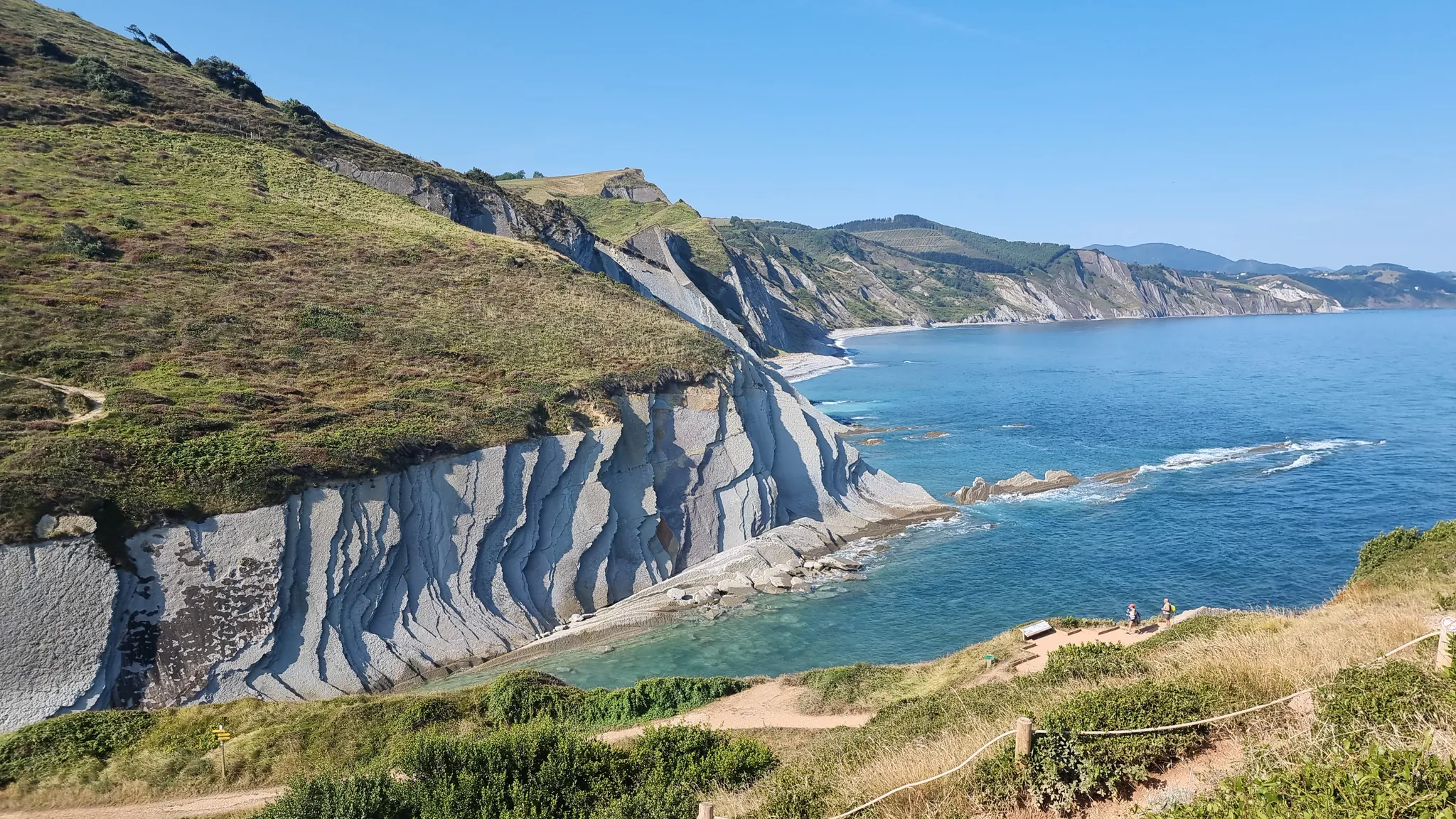
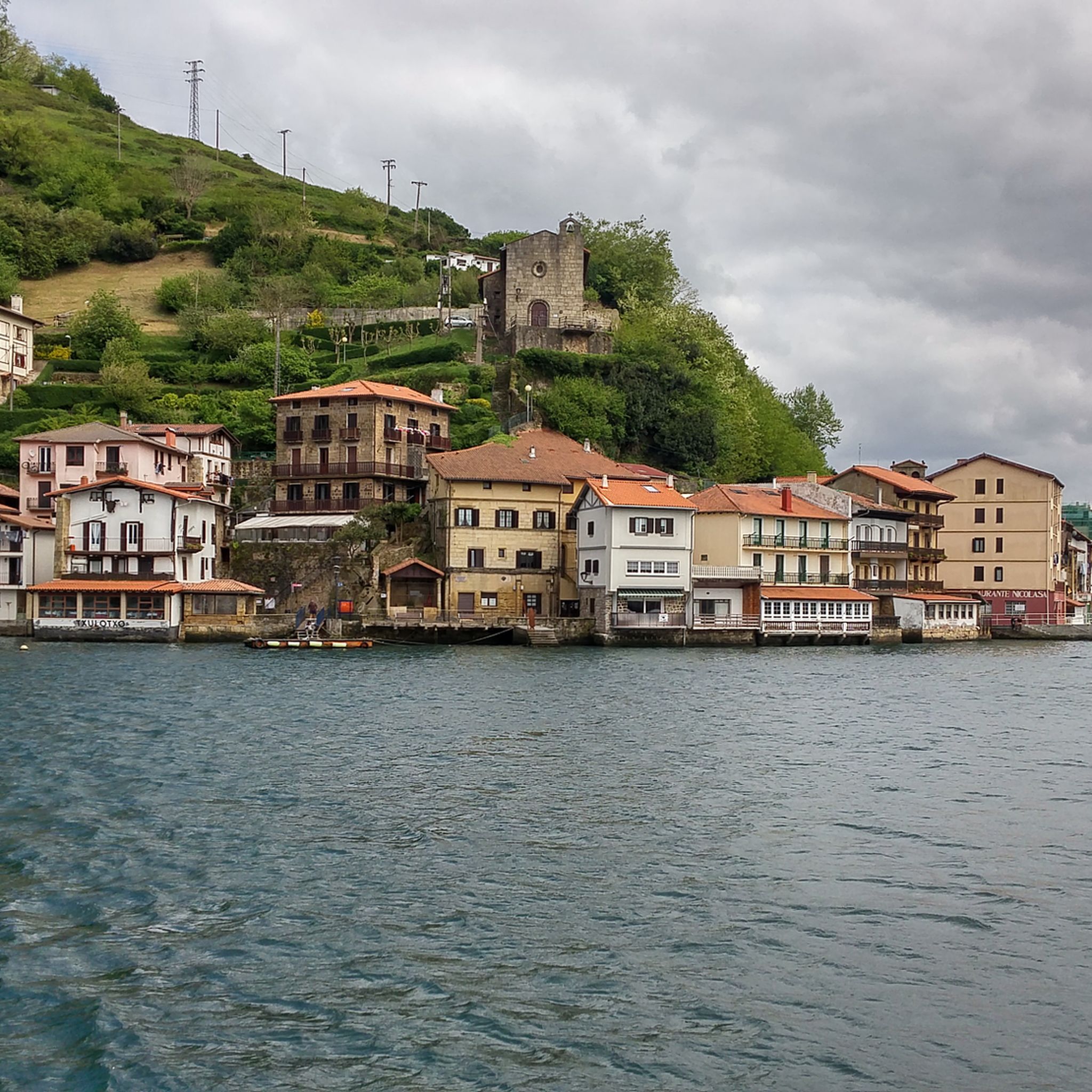
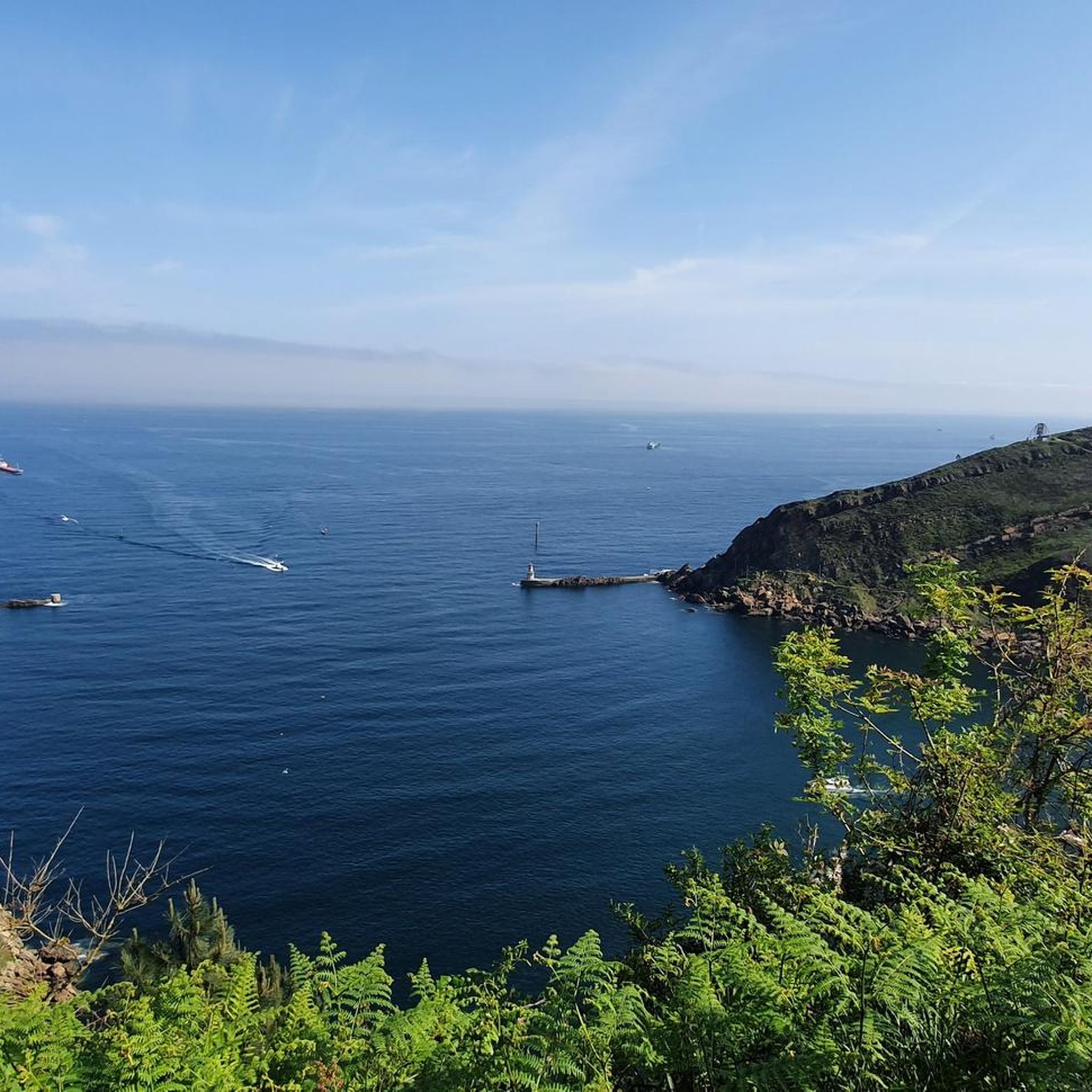
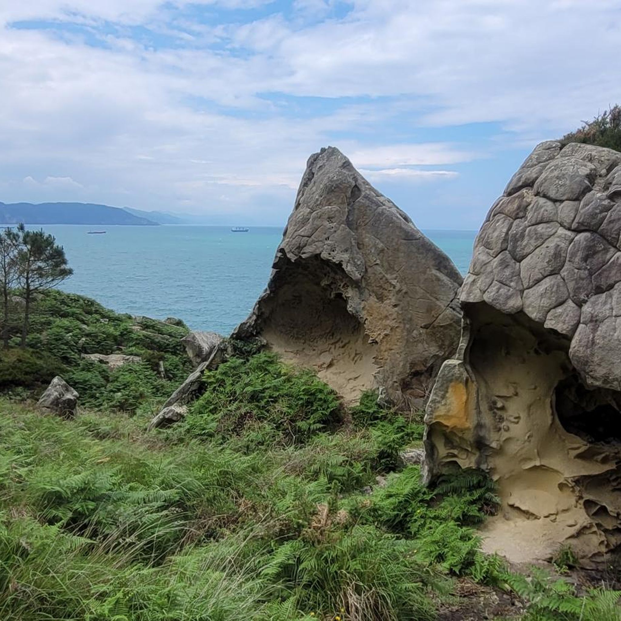

Other adventures around Pasaia

Tips from the Community

Caution! Approaching Irumugarrieta Peak from the south, you have to climb a serious, vertical wall. Unfortunately, with a dog, we had to give up here and fought our way down cross-country through the undergrowth. The other way around, it probably won't work with a dog even without abseiling. The tour is still very beautiful, but I wouldn't do the special descent again.
1
0

Near the end of the stream section, the concrete blocks covering the stream are as of September 2025 completely missing, leaving you two options forward: 1) walk on a 20cm wide path right next to a big cliff, 2) walk inside of the stream bed, knee-deep in water. We decided to turn back because it did not seem safe for us. Caution recommended!
1
0

People suffering from vertigo should avoid... It's not wide at all in places.
0
0

Route through the forest that connects the Elurretxe and Aritxulegi hills
0
0
A beautiful panoramic view that allows you to see the west face of Aiako Harria and the Arditurri valley
0
0

Beautiful hiking route claiming the Endara Valley surrounded by dense forests and streams on the eastern slope of the Aiako Harria massif.
1
0
The trail passes through this charming Japanese larch forest. Magnificent giants that cast shadows on the path.
0
0
A charming path towards Minas de Arditurri. Surrounded by tall pine trees you can smell the needles and fresh pine cones. Close your eyes and let yourself be transported to another world.
0
0
Frequently Asked Questions
What kind of mountaineering routes can I expect around Pasaia?
The Pasaia region offers a mix of moderate and difficult mountaineering routes. You'll find paths through rugged coastal terrain, verdant hills, forested slopes, and open ridges, often with views of the Bay of Pasaia. The routes are known for their varied landscapes.
Are there any less challenging mountaineering routes suitable for beginners in Pasaia?
While there are no routes specifically graded as 'easy' in this selection, several moderate options are available. For a shorter, moderate experience, consider the Pool Above Aitzondo Waterfall loop from Ola sagardotegia, which is about 6.3 km and takes around 2 hours 20 minutes.
What are some popular starting points for mountaineering routes in Pasaia?
Common starting points for mountaineering in the area include Lasaingana, Irun, and Ola sagardotegia. These locations serve as trailheads for various routes, such as the Aritxulegi loop from Lasaingana or the Mountaineering loop from Irun.
Are there any circular mountaineering routes in Pasaia?
Yes, many of the mountaineering routes around Pasaia are designed as loops. Examples include the Aritxulegi loop from Lasaingana, the Mountaineering loop from Irun, and the Pool Above Aitzondo Waterfall loop from Ola sagardotegia, offering convenient round trips.
What kind of natural attractions or landmarks can I see along the mountaineering routes?
The routes often pass by significant natural features. You might encounter the beautiful Aitzondo Waterfall, explore the unique Valley of Colors, or discover the Kontxa Cave. There are also various summits like Muganix Summit and Jaizkibel Summit offering panoramic views.
What do other mountaineers enjoy most about the routes in Pasaia?
The mountaineering routes in Pasaia are highly rated by the komoot community, with an average score of 5.0 stars. Users frequently praise the varied terrain, scenic views of the surrounding area and the Bay of Pasaia, and the diverse options for different ability levels.
Are there any routes that feature waterfalls?
Yes, the Pool Above Aitzondo Waterfall loop from Ola sagardotegia is a notable route that leads through forested areas and directly past the impressive Aitzondo Waterfall.
Are there any difficult mountaineering routes for experienced hikers?
For those seeking a more challenging experience, the Putzuetako gaina loop from Lasaingana is graded as difficult. This route covers approximately 3.9 km and involves significant elevation changes, providing a good test for experienced mountaineers.
What is the best time of year for mountaineering in Pasaia?
The coastal climate of Pasaia generally allows for mountaineering throughout much of the year. Spring and autumn offer pleasant temperatures and vibrant landscapes. Summer can be warm but is popular, while winter can bring cooler, potentially wetter conditions, though snow at lower elevations is less common.
Are there any specific viewpoints along the mountaineering trails?
Many routes offer excellent viewpoints due to the region's hilly and coastal nature. Highlights such as the View from Monte Urgull and various summits like Mount Jaizkibel provide expansive vistas of the coastline and surrounding areas.
Are permits required for mountaineering in the Pasaia area?
Generally, permits are not required for mountaineering on the established trails around Pasaia. However, it's always advisable to respect local regulations and private property signs, especially when venturing off marked paths.
Most popular attractions around Pasaia

Get inspired with the komoot mobile app


Explore more
Browse the best Mountain Hikes & Routes in other regions.
