Top 16 Mountain Passes around Auritz/Burguete
Best mountain passes around Auritz/Burguete are found in the Pyrenees, offering a blend of natural landscapes and historical significance. This region serves as a key point on the Camino Francés of the Camino de Santiago, attracting pilgrims and outdoor enthusiasts. The area features diverse terrain, from wide, grassy passes to challenging climbs through beech forests and open pastures. Visitors can explore routes with varying difficulty levels, experiencing the natural beauty of the Navarre region.
Best mountain passes around Auritz/Burguete
- The…
Last updated: June 26, 2026
Ibañeta Pass and the Roland Monument
Highlight • Mountain Pass
Translated by Google •
Tip by

Ibañeta Pass
Highlight • Mountain Pass
Tip by

Sign up now to discover places like this
Get recommendations on the best single tracks, peaks, & plenty of other exciting outdoor places.
Sign up for free
First climbs in the Camino Francés (Navarra)
Highlight (Segment) • Mountain Pass
Descending quickly and pleasantly down from the Ibañeta Pass towards Auritz-Burguete on the N-135 (beware of possible traffic), you have the illusion that …
Tip by
Col d'Arnosteguy
Highlight • Mountain Pass
The landscape is wild and wonderful. You can breathe …
Translated by Google •
Tip by

Sorogain Pass
Highlight • Mountain Pass
Translated by Google •
Tip by

Sign up for free to discover even more mountain passes around Auritz/Burguete.
Sign up for free
Already have an account?
Start today with a free account
Your next adventure awaits.
Login or Signup
Popular around Auritz/Burguete
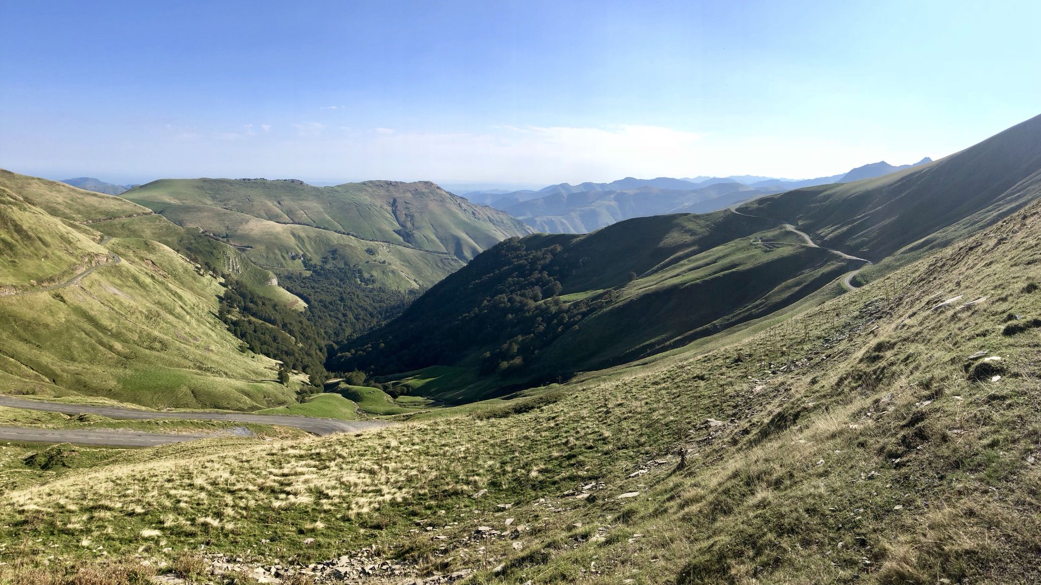
Euskal Herria footpath (GR 12) – The infinite mountain range
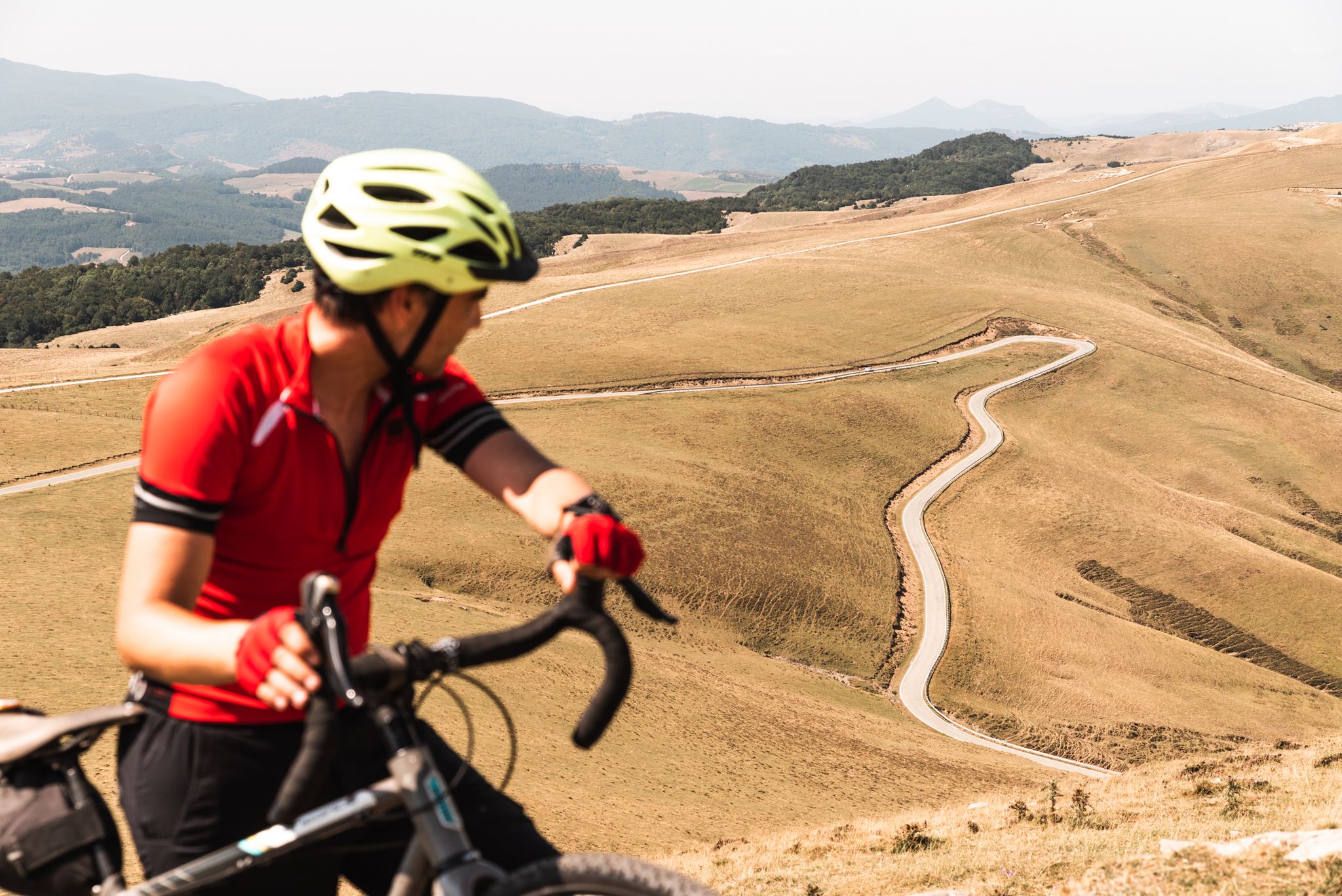
Tierra de Contrastes — 4 días de bikepacking por Navarra
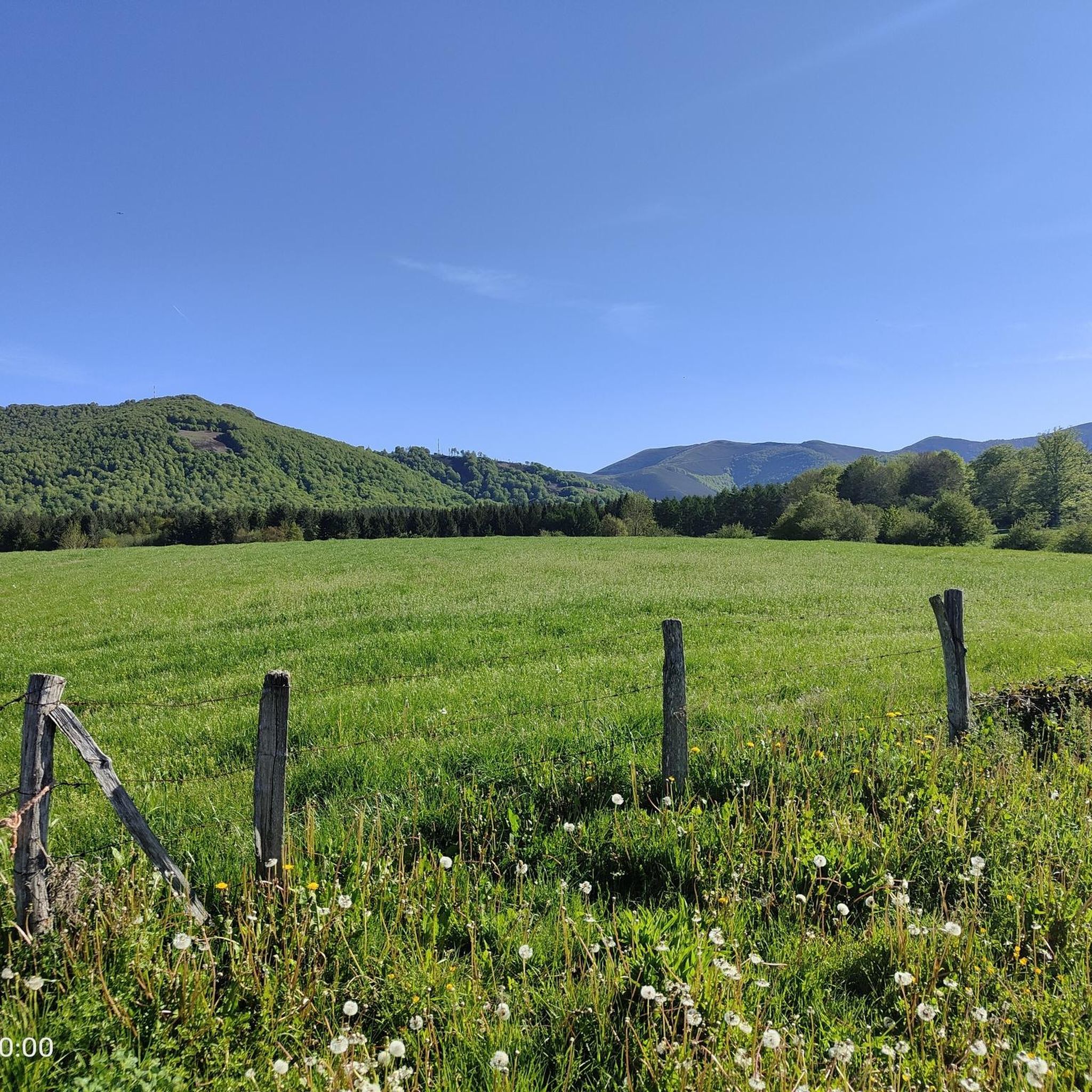
Road Cycling Routes around Auritz/Burguete
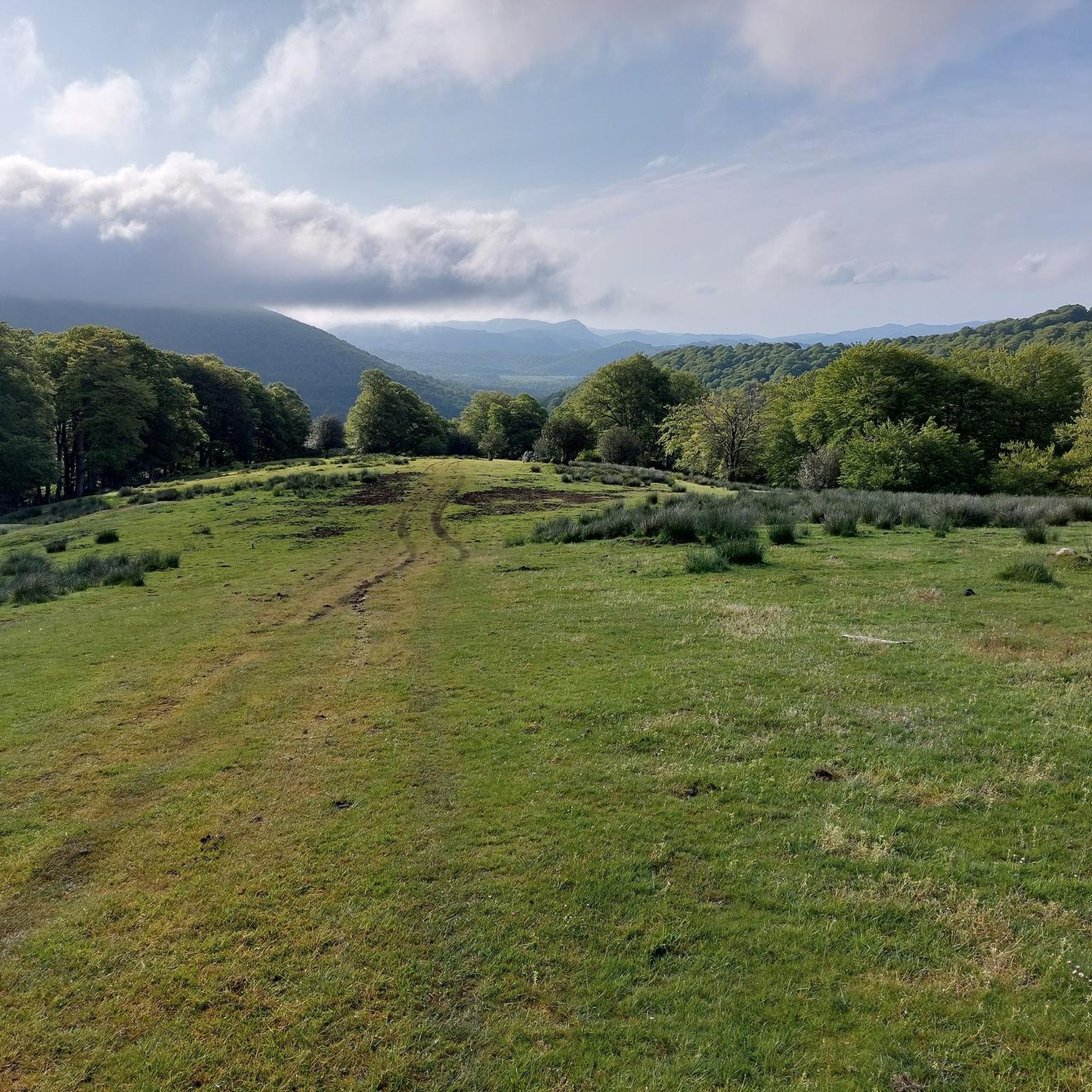
Hiking around Auritz/Burguete
MTB Trails around Auritz/Burguete
Cycling around Auritz/Burguete
Running Trails around Auritz/Burguete

Gravel biking around Auritz/Burguete


Tips from the Community

One of the best discoveries this year. I was really looking forward to visiting this area of the Pyrenees, and it has clearly exceeded my expectations. In addition, it was a beautiful day, with sun and good temperature. I couldn't ask for more. Sorogain is a border crossing with 2 very different sides. The Spanish side is flat and enjoyable, crossing a beech forest, following the course of a stream and opening up the majestic valley in the final part, surrounded by horses and sheep. It is approximately 8km with an average gradient of 3%, with the last 2km being harder and with irregular slopes. The French side is also spectacular but much harder. It is also 8km but with an average gradient of 8% and peaks of 18%. There are several km with an average gradient of over 10%, and the final slope is 500m at 15%!!! The views of the Urepel valley are wonderful. The road on both sides is in perfect condition, although it is very narrow and you have to be careful with the few cars there are.
0
0
One of the most inhospitable and spectacular mountain passes in the eastern Pyrenees, with several slopes, all of them very difficult. The landscape is wild and wonderful. You can breathe absolute tranquility and you can dedicate yourself exclusively to enjoying the views, the horses, the sheep, the cows and the suffering on the bike. The summit is on the border with Spain, although there is no road that crosses the border, so the pass runs entirely in France. I have climbed it on 2 of its slopes. The first time I climbed it on the slope that crosses the Col d'Orgambide, on the D428 road, which starts from Estérençuby. The first 3 km are very easy, until you cross the detour to go up to Artaburu, where the road begins to have slopes of more than 10%. From there, to the summit, the climb is very hard, around 9%, on a very rough and bumpy road, with a lot of humidity and crossing a wonderful beech forest. Once you reach the top of the Col d'Orgambide, you turn right and continue climbing for another half kilometre with a gradient of 11%. There comes a small descent, to face the last 3 kms, the first 2 very hard with several 13% gradients. The last kilometre is very easy and has panoramic views that are simply wonderful. The second time I climbed it on the side that starts from Arneguy and Ondarolle. This side is harder than the previous one, with a central section that is hellish, being 6 kms at an average of 10%, and a very hard km at 12% and 18% gradients!!! The final part is more gentle. You cross the Croix de Thibault in the penultimate kilometre of the climb. The final kilometre is very gentle and with beautiful and exciting panoramic views.
1
0
It is a beautiful border pass between Spain and France, well known for being part of the most traditional route of the Camino de Santiago. Sportingly, the climb on both sides is easy, although on the French side it is much longer as it starts at a lower altitude. The Spanish side is just 6 km from Burguete, the last being the most difficult with an average gradient of 7%. On this side you pass the famous and well-known monastery of Roncesvalles. The French side is 18 km from Arnegui and an average gradient of 4%. The hardest part is 5 km from the summit, with one kilometre at 7%. The landscape on this side is of lush vegetation going up a very closed valley that hardly leaves room for views of the surrounding mountains. The road is very twisty. It is a port with very good asphalt and a lot of traffic in general... so, be careful!
1
0

The Ibañeta Pass, also known as the Roncesvalles Pass, is a scenic mountain pass in the Pyrenees, near the border between France and Spain. At an altitude of 1,057 metres, it offers breathtaking views and a rich historical background. The pass is best known for the Battle of Roncevaux in 778, a legendary event sung about in the epic poem “The Song of Roland”. A menhir marks the traditional site of this battle, emphasising the historical significance of the location.
2
0

A great climb up to the pass. Once you reach the top you get a great view. There is a small church at the top and also a monument. There has always been a hospital up here. However, only the foundations of it remain
2
0

Roland, who is commemorated here, died in 778 as part of the rear guard of Charlemagne's Frankish army. He himself was Margrave of Brittany and was the victim of a Basque revenge campaign against the Frankish conquerors who were retreating from a failed Saracen campaign. Those were complicated times, but things were not to become any less complicated in the Basque Country in the centuries that followed. An epic/song was later sung about Roland, which is part of world literature. The monument itself is simple and rough, exposed up here in the wind of the weather, and can therefore have an immediate effect, without pomp and splendor. Great! https://de.wikipedia.org/wiki/Schlacht_von_Roncesvalles
2
0

nice area with drinking water
0
0

The pass is an important crossing of the Pyrenees, and a monastery with a hostel was set up in Roncesvalles for pilgrims on pilgrimage to St. James. The monks of the monastery also manned the chapel on the pass and rang the bells in the fog to show pilgrims the way.
4
0
Frequently Asked Questions
What are some notable mountain passes in the Auritz/Burguete area?
The region around Auritz/Burguete features several significant mountain passes. Among them are the historically important Ibañeta Pass, a key point on the Camino Francés, and the challenging Col d'Arnosteguy, known for its wild landscapes and steep gradients. Other passes include Alto de Erro and Alto de Mezkiritz, which are part of the Camino Francés journey, and Sorogain Pass, offering stunning natural beauty.
What is the historical significance of Ibañeta Pass?
The Ibañeta Pass is legendary for its role on the Camino de Santiago, specifically the Camino Francés. It marks the end of a steep climb from Saint-Jean-Pied-de-Port and is the first major pass pilgrims encounter in Spain. Historically, it's also associated with the Battle of Roncesvalles in 778, commemorated by the Roland Monument and a small chapel at the summit.
Are there challenging mountain passes for experienced cyclists or hikers?
Yes, for those seeking a challenge, the Col d'Arnosteguy is particularly demanding, featuring gradients up to 18% and a wild, rugged landscape. The Sorogain Pass also offers a challenging French side with an average gradient of 8% and peaks of 18%. These passes provide rewarding experiences for well-prepared adventurers.
What kind of natural scenery can I expect around these passes?
The mountain passes around Auritz/Burguete are characterized by diverse natural beauty. You'll find lush beech forests, open pastures where unique Burguete horses graze freely, and panoramic viewpoints offering expansive vistas of the Pyrenees. Passes like Urkiaga are known for their stunning natural scenery and dense forests, while Sorogain Pass features a beautiful beech forest and the majestic Urepel valley.
Are there family-friendly options for exploring the mountain passes?
While many passes involve significant climbs, the region offers opportunities for families. The descent from Ibañeta Pass towards Auritz-Burguete on the N-135 provides pleasant views and is less strenuous. Exploring parts of the ancient Ibañeta path through lush beech forests can also be a rewarding experience for families, though some sections may be bumpy. Look for routes described as moderate or with lower elevation gains.
Can I find hiking trails near the mountain passes?
Absolutely. The region is a hiker's paradise. Urkiaga Pass, for instance, is a starting point for numerous hiking routes that traverse beech forests and pastureland, including sections of the GR 11 and GR 12 long-distance trails. You can find many more options for hiking in the area by exploring the mountain passes guide.
What cycling routes are available around Auritz/Burguete's mountain passes?
Cyclists will find a variety of routes, from moderate challenges to very difficult climbs. The Alto de Erro and Alto de Mezkiritz passes on the N-135 offer moderate climbs with sections up to 7% gradient. For more intense rides, the Col d'Arnosteguy presents gradients up to 18%. You can discover many road cycling routes in the area by visiting the Road Cycling Routes around Auritz/Burguete guide.
What is the best time of year to visit the mountain passes in Auritz/Burguete?
The Pyrenees region around Auritz/Burguete is generally best visited during spring, summer, and early autumn. These seasons offer more favorable weather conditions for hiking and cycling, with lush landscapes and comfortable temperatures. Winter can bring snow and challenging conditions, making some passes less accessible or requiring specialized gear.
What do visitors particularly enjoy about the mountain passes in this region?
Visitors frequently praise the combination of challenging and scenic routes, the deep connection to the historic Camino de Santiago, and the opportunity to experience the natural beauty of the Pyrenees. The palpable enthusiasm of pilgrims, the stunning panoramic views from passes like Ibañeta Pass, and the wild landscapes with grazing animals are often highlighted as memorable aspects.
Are there options for mountain biking near Auritz/Burguete's passes?
Yes, the area provides excellent opportunities for mountain biking. You can find various MTB trails that traverse the diverse terrain around Auritz/Burguete, including routes through forests and along mountain paths. For detailed information and specific routes, check out the MTB Trails around Auritz/Burguete guide.
Where can I find accommodation or places to eat near the mountain passes?
Auritz/Burguete itself offers accommodation and dining options, serving as a gateway to the passes. As you travel along routes like the Camino de Santiago, villages such as Roncesvalles and Zubiri also provide albergues (pilgrim hostels) and other services. It's advisable to book accommodation in advance, especially during peak pilgrim season, as places can fill up quickly.
Are there any passes suitable for beginners?
While many passes involve climbs, some sections or approaches can be suitable for beginners or those looking for easier experiences. The N-135 road, which includes Alto de Erro and Alto de Mezkiritz, offers moderate challenges that can be tackled at a comfortable pace. The Spanish side of Sorogain Pass is described as flat and enjoyable, crossing a beech forest, making it a good option for a less strenuous outing.
Are permits required for hiking trails around the mountain passes?
Generally, permits are not required for hiking on established trails around the mountain passes in the Auritz/Burguete region. However, it's always a good practice to respect local regulations, especially in protected areas or private lands. If you plan to camp or engage in specific activities, it's wise to check with local tourism offices for any specific requirements.
Most popular routes around Auritz/Burguete
Most popular attractions around Auritz/Burguete

Get inspired with the komoot mobile app


Explore more
See even more epic mountain passes by checking out these guides around Auritz/Burguete:
