The 11 Most Amazing Peaks around Auritz/Burguete
Best mountain peaks around Auritz/Burguete offer access to the Navarrese Pyrenees, characterized by lush forests and rolling pastures. This region holds significant historical ties to the Camino de Santiago, making it a culturally rich area for exploration. The diverse terrain elevation provides a range of experiences, from historic passes to panoramic summits. Visitors can find a variety of trails and routes suitable for different activity levels.
Best mountain peaks around Auritz/Burguete
- The most popular mountain peaks is Adi Summit,…
Last updated: August 23, 2026
Roland Fountain
Highlight • Natural Monument
Translated by Google •
Tip by

Lepoeder Pass Viewpoint
Highlight • Viewpoint
Translated by Google •
Tip by

Sign up now to discover places like this
Get recommendations on the best single tracks, peaks, & plenty of other exciting outdoor places.
Sign up for free
Mendiaundi Summit
Highlight • Summit
Translated by Google •
Tip by

Burregieta summit
Highlight • Summit
Translated by Google •
Tip by

Adi Summit
Highlight • Summit
Translated by Google •
Tip by

Sign up for free to discover even more peaks around Auritz/Burguete.
Sign up for free
Already have an account?
Start today with a free account
Your next adventure awaits.
Login or Signup
Popular around Auritz/Burguete
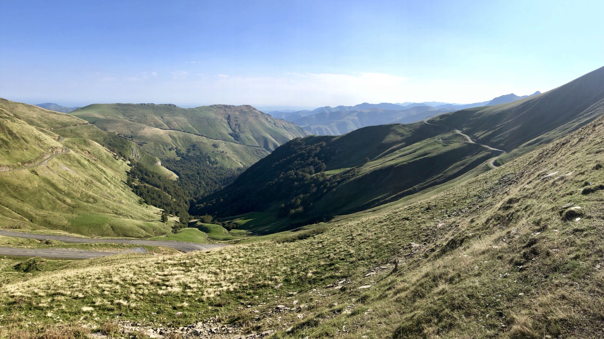
Euskal Herria footpath (GR 12) – The infinite mountain range
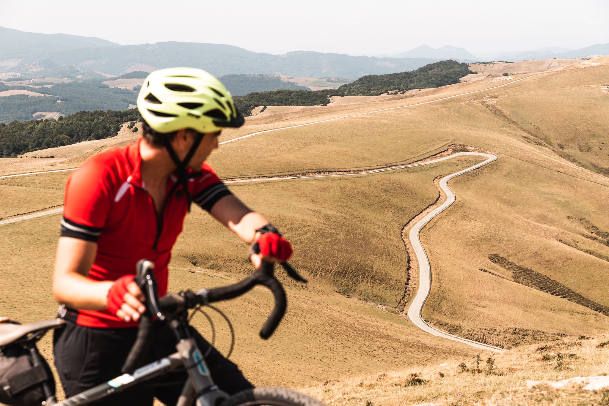
Tierra de Contrastes — 4 días de bikepacking por Navarra
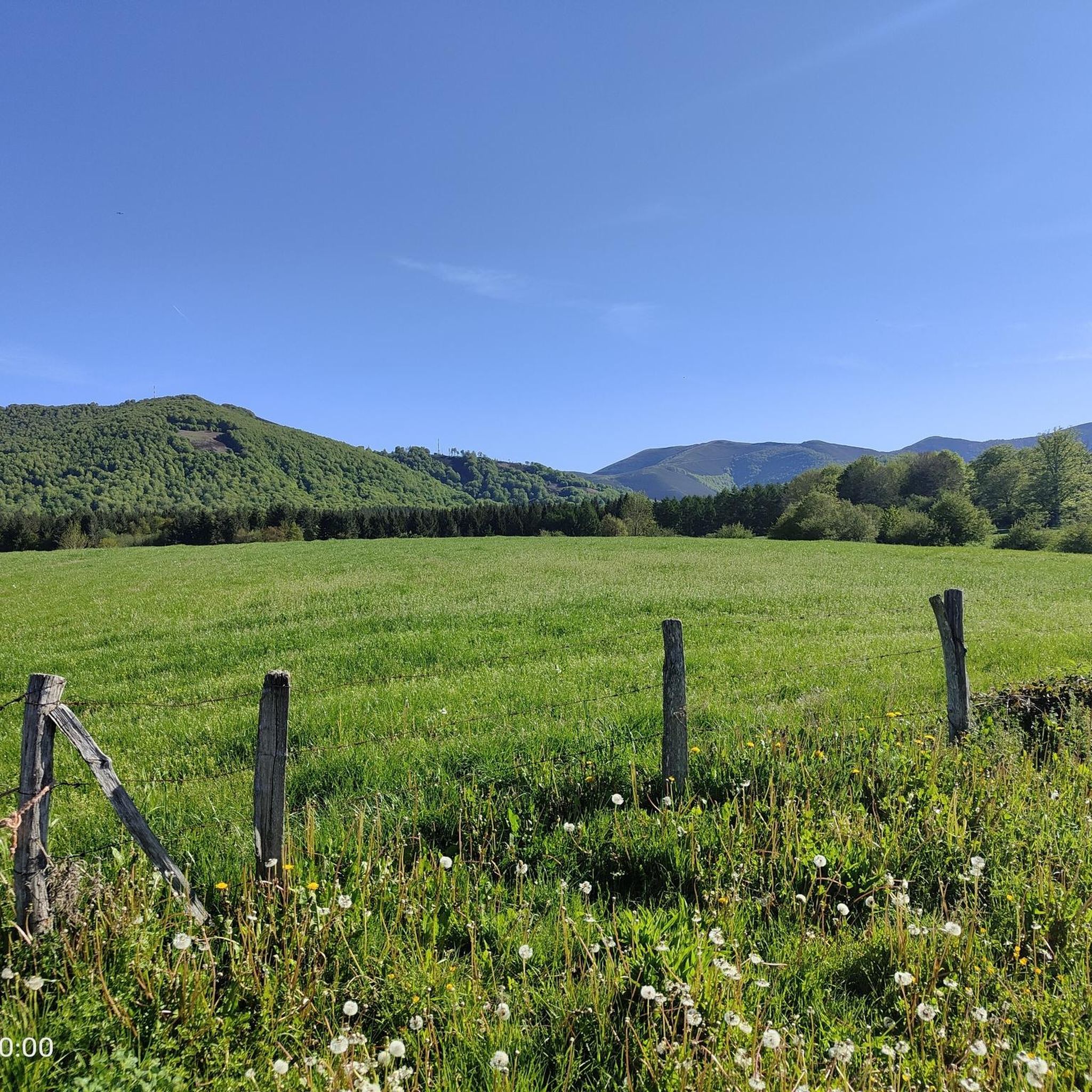
Road Cycling Routes around Auritz/Burguete
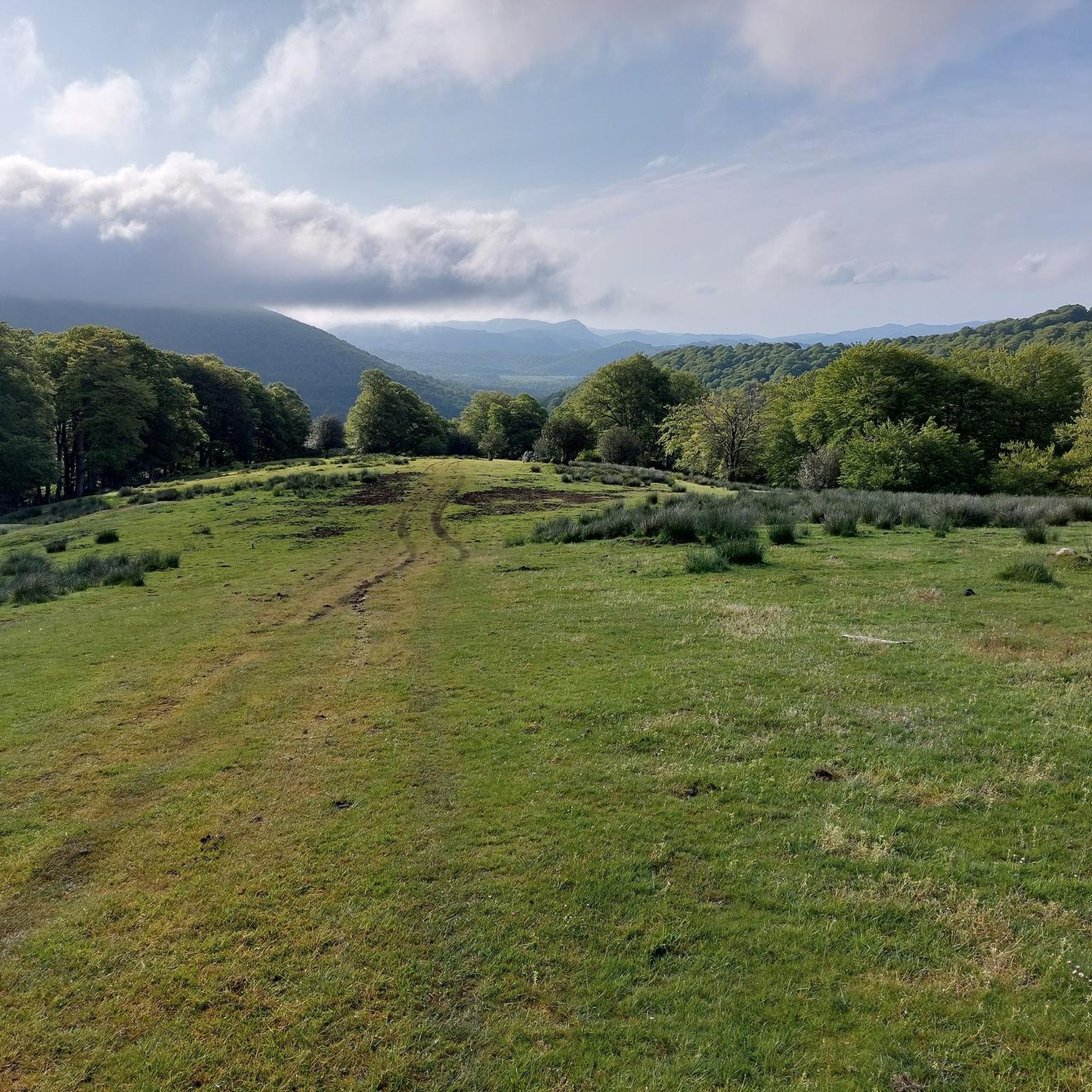
Hiking around Auritz/Burguete
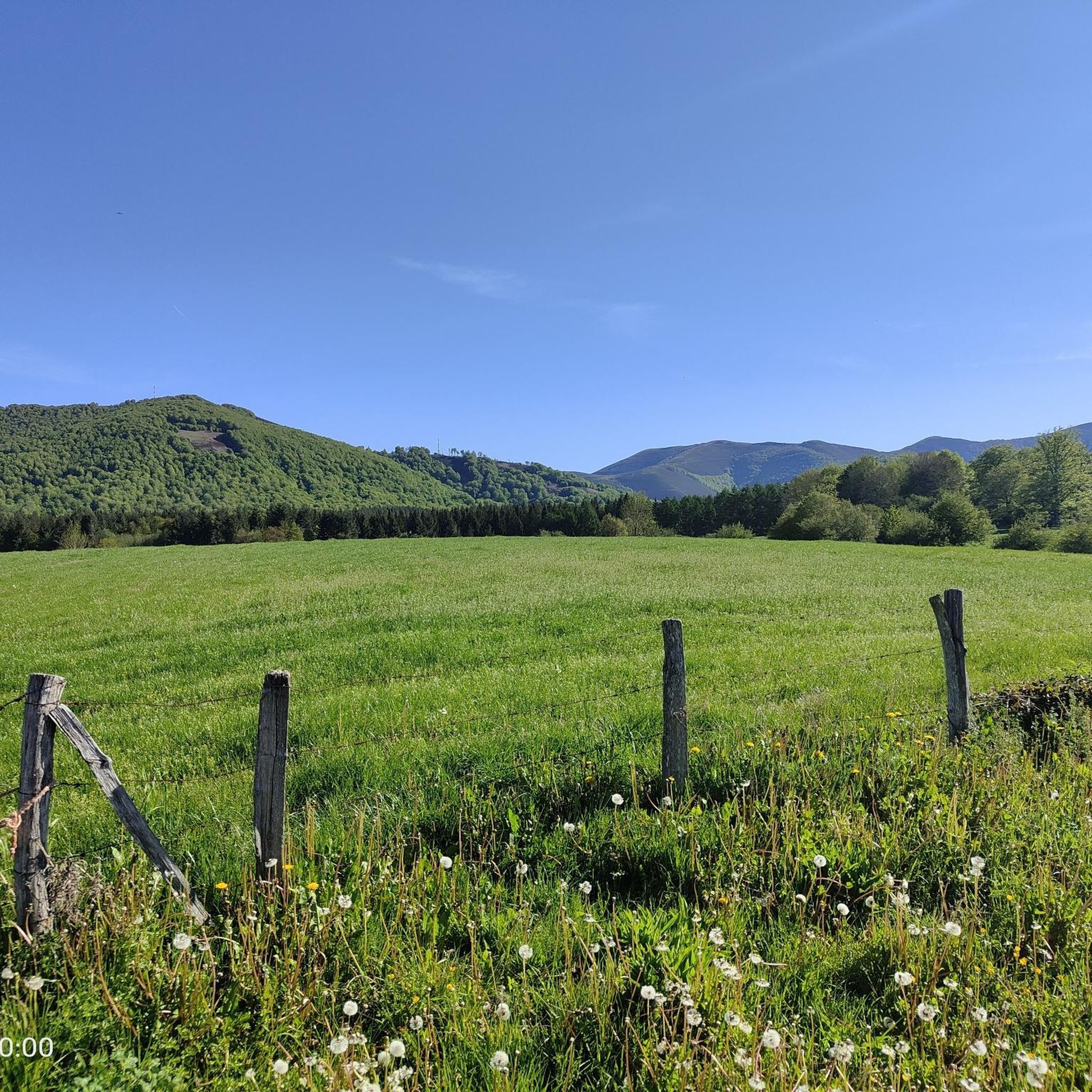
Cycling around Auritz/Burguete
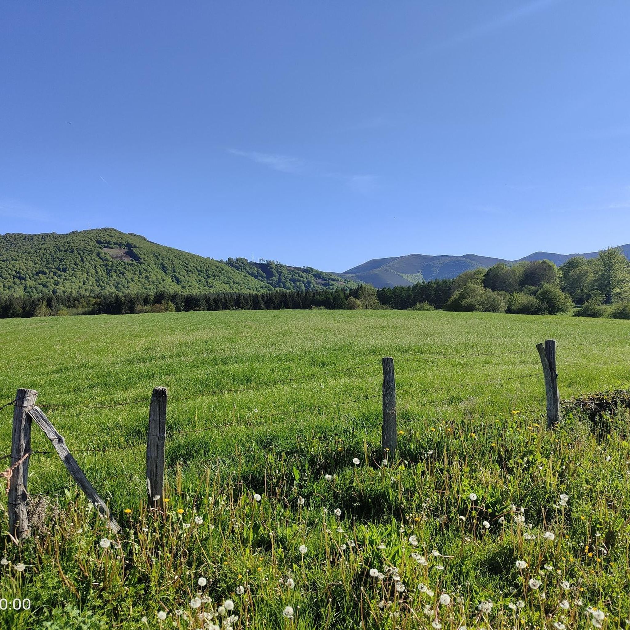
MTB Trails around Auritz/Burguete
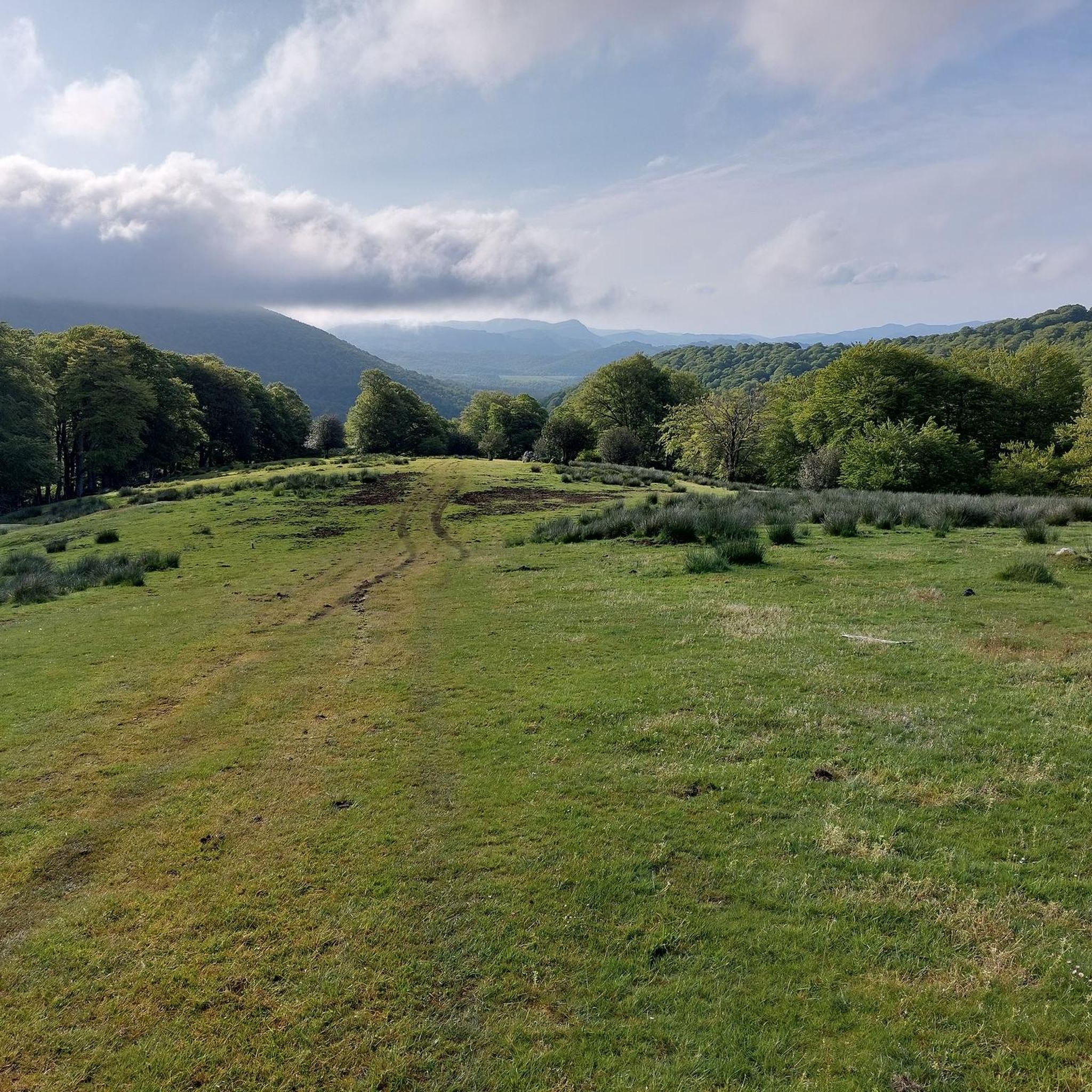
Running Trails around Auritz/Burguete

Gravel biking around Auritz/Burguete


Tips from the Community

The Lepoeder Pass (Col de Lepoeder), standing at roughly 1,430 meters, is the highest point and the ultimate climax of the Route of Napoleon on the Camino de Santiago. Reaching this viewpoint is one of the most physically demanding but deeply rewarding moments of the entire trek from France into Spain. Because it is the highest saddle on the route, it is notoriously windy and exposed to the elements. Even on a sunny day, you will likely want to pull on a windbreaker while you stop to take your photos. This viewpoint is a critical junction. From here, you must choose your path down to Roncesvalles: the steep, direct trail that plunges straight through the beautiful but tough woodland, or the slightly longer, gentler paved route that takes you via the Ibañeta Pass.
1
0
The Lepoeder Pass is a magnificent, unforgettable milestone. The Lepoeder Pass (Col de Lepoeder), standing at roughly 1,430 meters, is the highest point and the ultimate climax of the Route of Napoleon on the Camino de Santiago. Reaching this viewpoint is one of the most physically demanding but deeply rewarding moments of the entire trek from France into Spain. Because it is the highest saddle on the route, it is notoriously windy and exposed to the elements. Even on a sunny day, you will likely want to pull on a windbreaker while you stop to take your photos. This viewpoint is a critical junction. From here, you must choose your path down to Roncesvalles: the steep, direct trail that plunges straight through the beautiful but tough woodland, or the slightly longer, gentler paved route that takes you via the Ibañeta Pass.
1
0

This place is full of trash, very dirty, a disgrace!!! The Basque mountains are not trash cans, please respect them. Too many people are behaving badly towards the pastures. Please take your trash back with you; it's disgusting and disrespectful.
1
0

This is the highest point on the Camino over the Pyrenees
1
0

The water tastes good - refill the water bottle!
1
3

Typical Basque mountain. Green, with a round top and unbeatable panoramic views
1
0


Fountain before arriving at the Spanish border
3
3
Frequently Asked Questions
Which mountain peaks around Auritz/Burguete offer the best panoramic views?
For breathtaking vistas, consider Adi Summit, which provides spectacular views of the entire Pyrenees chain and the beech forests of the Quinto Real Forest from its 1457-meter peak. Mendiaundi Summit, at 1213 meters, also offers beautiful panoramic views of the Navarrese Pyrenees on clear days. Additionally, Ibañeta Pass (Col de Burregieta) and Burregieta summit are known for their wonderful views from their elevated positions.
Are there any historical sites or landmarks among the mountain peaks in Auritz/Burguete?
Yes, the region is rich in history. Ibañeta Pass (Col de Burregieta) is a pivotal historical site, famously associated with the Battle of Roncesvalles in 778 and a significant point on the Camino de Santiago. It features a modern chapel and a monument to Roland. Roland Fountain is another natural monument and historical site on the Camino, offering drinking water and commemorating historical events. The Burregieta summit also has remains of defensive constructions, highlighting its historical significance on the border between Spain and France.
What kind of hiking trails can I find near the mountain peaks of Auritz/Burguete?
The area around Auritz/Burguete offers a variety of hiking trails. You can find moderate routes like the Mendiaundi and Menditxuri Loop, which is part of the Senda Pirenaica (GR 11) and offers panoramic views. There are also easy options such as the Roncesvalles Forest loop. For more detailed information and routes, you can explore the Hiking around Auritz/Burguete guide.
Are there family-friendly mountain walks or activities in the Auritz/Burguete area?
Yes, the region offers options suitable for families. The Roland Fountain is categorized as family-friendly and is an accessible historical site. For a gentle walk, the Roncesvalles Forest loop is an easy route that can be enjoyed by families. The diverse landscape with its lush forests and pastures provides a pleasant environment for outdoor activities with children.
What is the best time of year to visit the mountain peaks around Auritz/Burguete?
The best time to visit the mountain peaks around Auritz/Burguete is generally during spring, summer, and early autumn. These seasons offer more favorable weather conditions for hiking and enjoying the panoramic views. Spring brings lush greenery, while summer provides warmer temperatures. Early autumn showcases beautiful foliage. Always check local weather forecasts before your visit, especially for higher elevations.
Can I find routes for cycling or gravel biking near these mountain peaks?
Yes, the region is popular for cycling and gravel biking. You can find challenging routes like the Forest Path Near Roncesvalles loop or the Urrobi Valley – Foz de Iñarbe loop. For more options and detailed routes, refer to the Gravel biking around Auritz/Burguete guide.
What natural features can I expect to see when exploring the mountain peaks?
The mountain peaks around Auritz/Burguete are characterized by diverse natural beauty. You'll encounter lush beech forests, particularly around Adi Summit and Ortzanturieta Peak, and rolling pastures where Burguete horses often graze. The elevated passes and summits provide extensive panoramic views of the Navarrese Pyrenees, offering a blend of dense woodlands and open landscapes.
Are there any running trails available near the mountain peaks?
Yes, there are several running trails in the vicinity of the mountain peaks. Options range from moderate loops like the Running loop from Aurizberri to more difficult trails such as the Txangoa - Roncesvalles Trail. You can find more information on these and other routes in the Running Trails around Auritz/Burguete guide.
What is the typical elevation gain for hikes around Auritz/Burguete's mountain peaks?
The elevation gain varies depending on the specific trail and peak. For example, the circular trail encompassing Mendiaundi and Menditxuri involves a moderate 380-meter elevation gain. Peaks like Adi Summit reach 1457 meters, while Mendiaundi Summit is 1213 meters high, indicating that routes to these summits will involve significant ascents. Trails can range from easy, flatter forest loops to more challenging climbs.
What makes Ortzanturieta Peak worth visiting, even if the GR 11 skirts it?
Ortzanturieta Peak, while often skirted by the GR 11 trail, is worth visiting for its serene natural beauty. The area is known for its dense beech forests and alternating pastures, providing a tranquil and immersive experience of the Navarrese Pyrenees. It's an excellent spot to appreciate the typical flora and fauna of the region, including the freely grazing Burguete horses, offering a peaceful escape into nature.
What do visitors particularly enjoy about the mountain peaks around Auritz/Burguete?
Visitors frequently highlight the spectacular panoramic views, especially from summits like Adi Summit and Mendiaundi Summit. The rich historical context, particularly around Ibañeta Pass and Roland Fountain, is also a significant draw, especially for those interested in the Camino de Santiago. The blend of lush forests, rolling pastures, and diverse hiking experiences within the picturesque Navarrese Pyrenees is highly appreciated by the komoot community.
Most popular routes around Auritz/Burguete
Most popular attractions around Auritz/Burguete

Get inspired with the komoot mobile app


Explore more
See even more amazing summits around Auritz/Burguete with these guides:
