The best MTB trails around Guils De Cerdanya
4.5
(431)
6,424
riders
303
rides
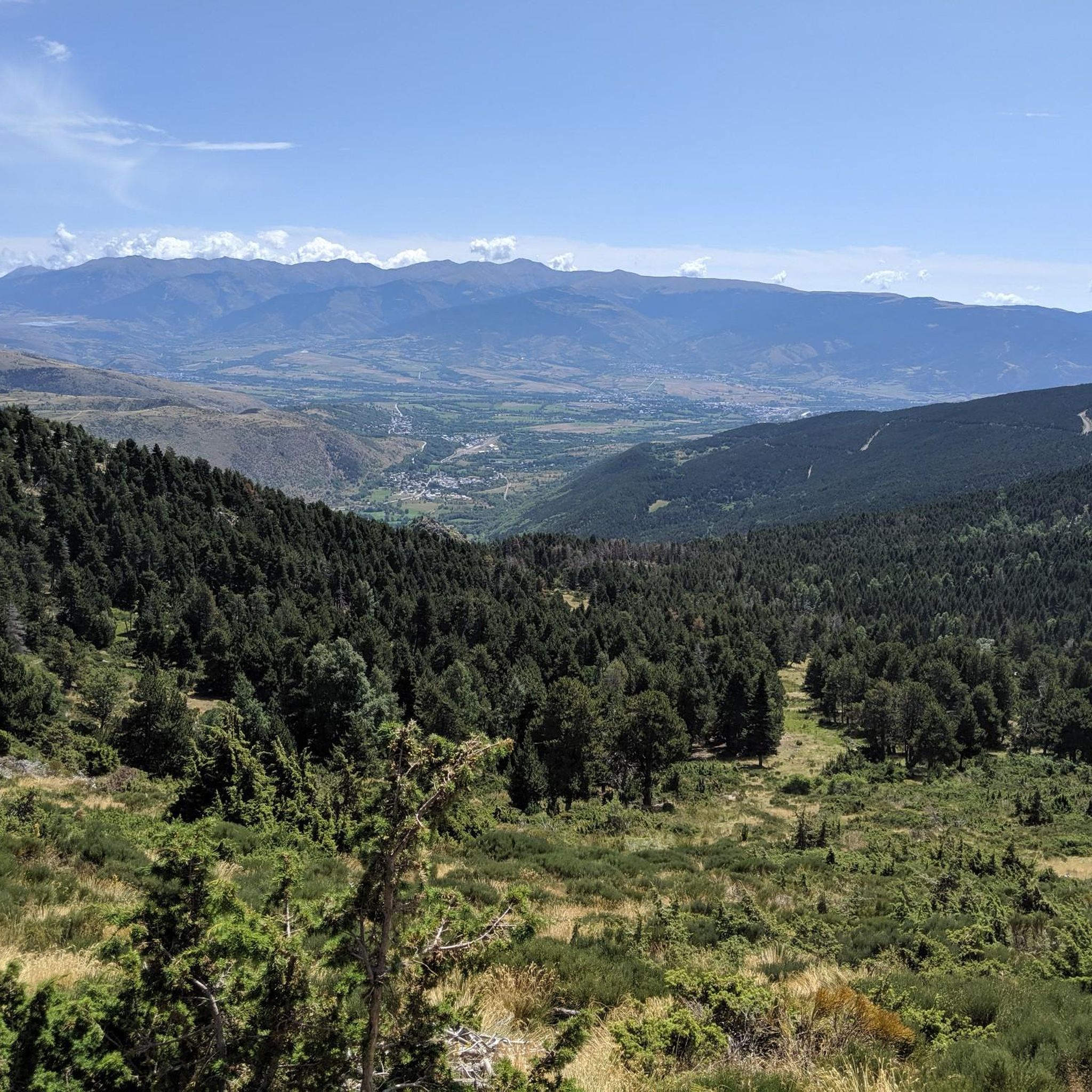
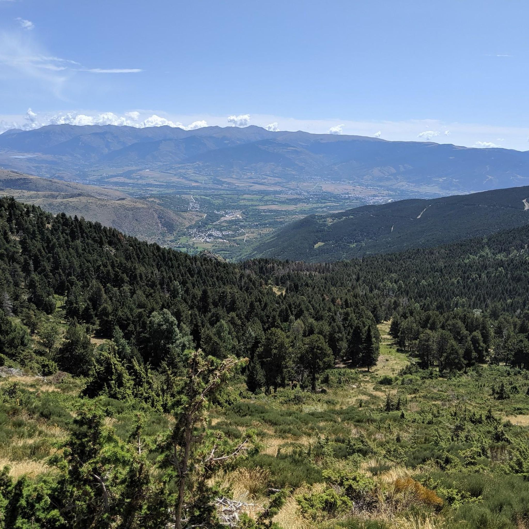
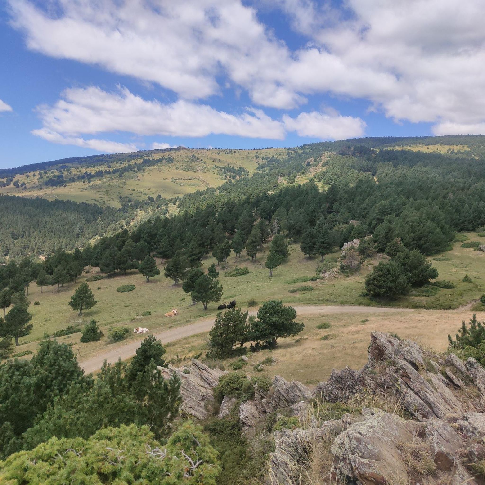
Mountain biking around Guils De Cerdanya offers diverse terrain within the Catalan Pyrenees, characterized by high mountain peaks, dense forests, and expansive alpine meadows. The region's topography ranges from challenging ascents around Puigpedrós to more gentle slopes, providing varied riding experiences. Protected natural areas like Espai Natural Protegit de la Tossa Plana de Lles-Puigpedrós feature picturesque ponds and extensive woodlands.
Best mountain bike trails around Guils De Cerdanya
- The most popular mountain bike trail is Montmelús – Cabanella Refuge (1,813 m) loop from Estació superior, a 24.3 miles (39.1 km) trail that takes 4 hours 7 minutes to complete. This difficult route includes over 3,600 feet (1,100 meters) of elevation gain.
- Another top favourite among local mountain bikers is Refugi de la Feixa (2,160 m) – Ger-Gréixer Trail loop from Estació superior, a difficult 34.3 miles (55.2 km) path. This route traverses high mountain terrain, offering extensive views and significant climbs.
- Local mountain bikers also love the Coma Morera Summit – Estany de Puigcerdà loop from Puigcerdà, a 31.4 miles (50.5 km) trail leading through varied mountain landscapes, often completed in about 4 hours 22 minutes.
- Mountain biking around Guils De Cerdanya is defined by high mountain peaks, dense forests, and alpine meadows. The network offers options for different ability levels, from moderate paths to difficult ascents.
- The routes in Guils De Cerdanya are highly rated by the komoot community with an average score of 4.5 stars from over 400 reviews. More than 6,500 mountain bikers have used komoot to explore Guils De Cerdanya's varied terrain.
Last updated: August 22, 2026
4.5
(2)
207
riders
40.2km
04:11
1,110m
1,110m
Hard mountain bike ride. Very good fitness required. Advanced riding skills necessary. Some portions of the route may require you to push your bike.
4.0
(4)
166
riders
Moderate mountain bike ride. Good fitness required. Suitable for all skill levels.

Sign up for free
4.5
(15)
104
riders
Moderate mountain bike ride. Good fitness required. Suitable for all skill levels.
97
riders
65.6km
06:21
1,580m
1,580m
Hard mountain bike ride. Very good fitness required. Advanced riding skills necessary. Some portions of the route may require you to push your bike.
94
riders
63.9km
06:42
1,770m
1,770m
Hard mountain bike ride. Very good fitness required. Advanced riding skills necessary. Some portions of the route may require you to push your bike.
Get access to more routes and recommendations from other explorers.
Sign up for free
Already have an account?
Our route recommendations are based on thousands of hikes, rides, and runs completed by other people on komoot.
Start today with a free account
Your next adventure awaits.
Login or Signup

Tips from the Community


A fantastic route, with wonderful scenery
1
0


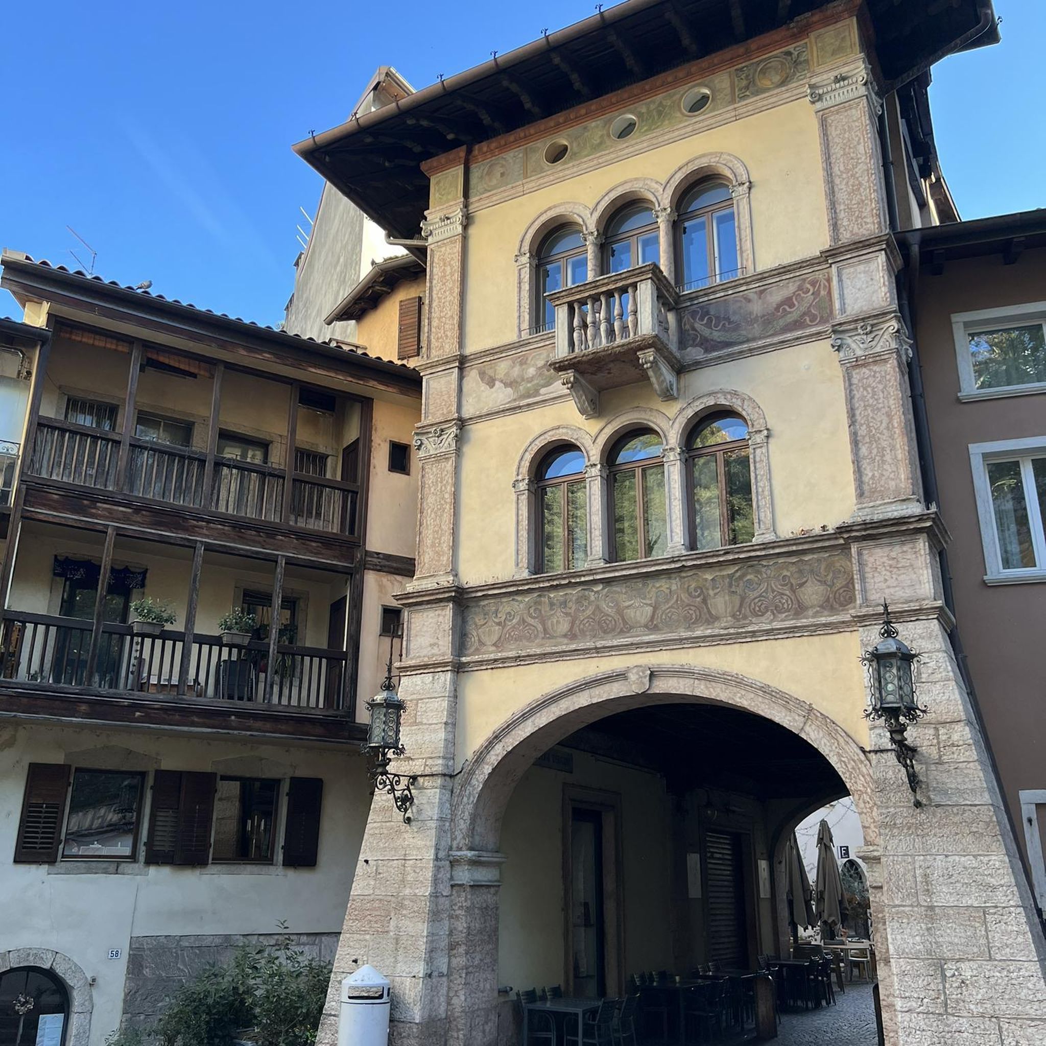
Romanesque church with a hidden cache very close by.
0
0

Located at 1680 meters of altitude, the Pla de les Forques refuge is free and has 20 places capacity. It is located on an esplanade where there is also a recreation area with tables and barbecues.
1
0

Quiet and shady trail in the middle of the forest that runs through the Strait of Isòvol. Due to its northern orientation it is usually quite muddy. Very nice and cool to do in the summer.
1
0
Spectacular downhill trail from Roc del Quir to the picturesque town of Meranges which, despite not being excessively technical, requires a certain skill due to its slight exposure. The views of the Duran River Valley and the majestic peaks of La Carbassa, Bony del Manyer, Engorgs and Puigpedrós are simply spectacular.
2
0
Frequently Asked Questions
How many mountain bike trails are available around Guils De Cerdanya?
There are over 290 mountain bike trails around Guils De Cerdanya, offering a wide range of options for all skill levels. This includes 62 easy, 151 moderate, and 85 difficult routes.
Are there easy mountain bike trails suitable for beginners in Guils De Cerdanya?
Yes, Guils De Cerdanya offers over 60 easy mountain bike trails. These routes are generally less technical and have moderate elevation gains, making them ideal for beginners or those seeking a relaxed ride through the scenic Pyrenean landscapes.
What kind of terrain can I expect on mountain bike trails in Guils De Cerdanya?
The terrain in Guils De Cerdanya is highly diverse, ranging from high mountain peaks and challenging ascents around Puigpedrós to dense forests and expansive alpine meadows. You'll find a mix of technically demanding enduro trails and more fluid, easier descents, often within the protected Espai Natural Protegit de la Tossa Plana de Lles-Puigpedrós.
What are some notable natural landmarks or viewpoints I can see while mountain biking?
Many trails offer stunning views of the Catalan Pyrenees. You can encounter picturesque areas like the Malniu Ponds near the Malniu Mountain Hut, or enjoy expansive vistas from higher elevations. The region is also home to significant peaks like Puigpedrós Summit (2,911 m) and Tossa Plana de Lles (2,916 m), which provide dramatic backdrops.
Are there any circular mountain bike routes in the area?
Yes, many routes in Guils De Cerdanya are designed as loops. For example, the difficult Montmelús – Cabanella Refuge (1,813 m) loop from Estació superior covers 39.1 km with over 1,100 meters of elevation gain. Another challenging option is the Refugi de la Feixa (2,160 m) – Ger-Gréixer Trail loop from Estació superior, a 55.2 km route traversing high mountain terrain.
What is the best time of year for mountain biking in Guils De Cerdanya?
The warmer months, typically from late spring to early autumn, are ideal for mountain biking. During winter, the municipal Nordic ski station of Guils Fontanera, a popular hub for summer mountain biking, is covered in snow, offering up to 40 km of ski slopes. Always check local conditions before heading out, especially at higher altitudes.
Are there family-friendly mountain bike trails in Guils De Cerdanya?
While many trails offer challenging ascents, there are also easier routes suitable for families. Look for trails graded S0-S1, which are generally suitable for all skill levels and involve moderate elevation gain, often through forests and meadows, providing a pleasant experience for all.
What do other mountain bikers enjoy most about the trails in Guils De Cerdanya?
The trails in Guils De Cerdanya are highly rated by the komoot community, with an average score of 4.5 stars from over 400 reviews. Riders often praise the diverse terrain, from challenging high-mountain paths to serene forest trails, and the breathtaking Pyrenean landscapes.
Can I find moderate mountain bike routes that offer a good challenge without being overly difficult?
Absolutely. Guils De Cerdanya features over 150 moderate mountain bike routes. An example is the Path from Nahuja to Err – Path from Llívia to Ur loop from Estació inferior, a 33.3 km route with over 500 meters of elevation gain, offering a balanced challenge for intermediate riders.
Are there any trails that lead to significant cultural or historical sites?
Beyond natural beauty, Guils de Cerdanya offers glimpses into history. While specific routes aren't listed, the region features well-preserved Romanesque churches, such as Sant Esteve de Guils (dating back to the 12th century). You can plan your rides to pass through villages or areas where these cultural sites are located.
Are there any long-distance mountain bike routes for experienced riders?
Yes, experienced riders seeking longer distances and significant climbs will find several options. The Bosc de Vilallobent – Pla de les Forques loop from Estació superior is a difficult 64.3 km route with over 1,500 meters of elevation gain, providing a substantial challenge and extensive riding through varied landscapes.
Most popular routes around Guils De Cerdanya
Most popular attractions around Guils De Cerdanya

Get inspired with the komoot mobile app


Explore more
Browse the best MTB trails in other regions.
