The best walks and hikes around Villar De Plasencia
4.4
(18)
189
hikers
11
hikes
Hiking around Villar De Plasencia offers a variety of trails through the region's diverse landscape. The area features a mix of riverine paths, reservoir loops, and routes ascending to viewpoints, providing varied terrain for hikers. The elevation changes are generally moderate, with some trails offering more significant climbs. The network includes options ranging from easy walks to more challenging routes, making it suitable for different experience levels.
Best hiking trails around Villar De Plasencia
- The most popular hiking route is Castle Viewpoint of Cabezabellosa from Jarilla, a 8.0 miles (12.9 km) trail that takes 3 hours 50 minutes to complete. This moderate route features notable elevation gain leading to scenic views.
- Another top favourite among local hikers is Plasencia Reservoir – Embalse de Plasencia loop from Ibarruri - La Esperanza, a moderate 8.7 miles (14.0 km) path. This circular walk around Villar De Plasencia offers views of the reservoir and surrounding natural areas.
- Local hikers also love the Plasencia Upstream Riverwalk, a 12.6 miles (20.3 km) trail leading through riverine landscapes, often completed in about 5 hours 9 minutes.
- Hiking around Villar De Plasencia is defined by reservoir loops, riverwalks, and paths leading to elevated viewpoints. The network offers options for different ability levels, including easy hiking routes Villar De Plasencia and more difficult ascents.
- The routes in Villar De Plasencia are highly rated by the komoot community with an average score of 4.3 stars from around 15 reviews. More than 190 hikers have used komoot to explore Villar De Plasencia's varied terrain.
Last updated: July 8, 2026
1
hikers
12.9km
03:51
400m
400m
Moderate hike. Good fitness required. Mostly accessible paths. Sure-footedness required.
1
hikers
20.3km
05:09
50m
50m
This difficult 12.6-mile hike around the Jerte-Plasencia Swamp offers water features and scenic views, taking about 5 hours.

Sign up for free
5.0
(1)
17
hikers
Moderate hike. Good fitness required. Easily-accessible paths. Suitable for all skill levels.
4.3
(3)
13
hikers
Easy hike. Great for any fitness level. Easily-accessible paths. Suitable for all skill levels.
7
hikers
12.2km
03:58
560m
560m
Moderate hike. Good fitness required. Easily-accessible paths. Suitable for all skill levels.
Get access to more routes and recommendations from other explorers.
Sign up for free
Already have an account?
Our route recommendations are based on thousands of hikes, rides, and runs completed by other people on komoot.
Start today with a free account
Your next adventure awaits.
Login or Signup
Tips from the Community

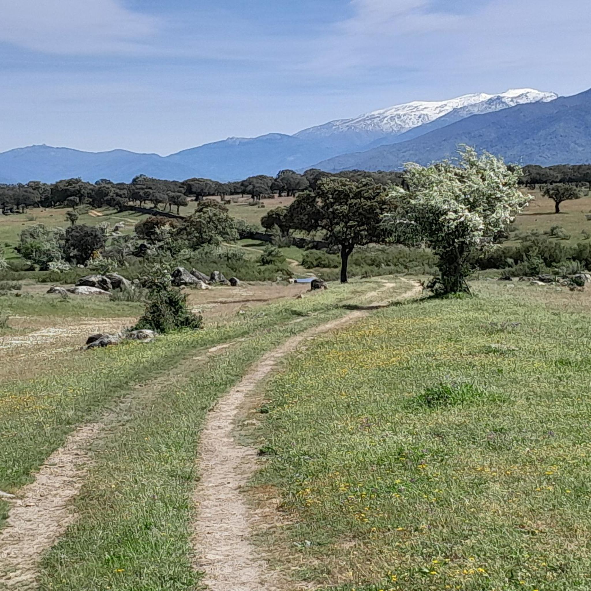
To the north of the town of Plasencia we find this town, located in the Montes de Tras la Sierra, between the Jerte valley and the Ambroz valley, in a beautiful wooded area!
0
0
From here, you can see the Jerte reservoir nestled between the Gordo and Camocho mountains. The views are immense.
2
0

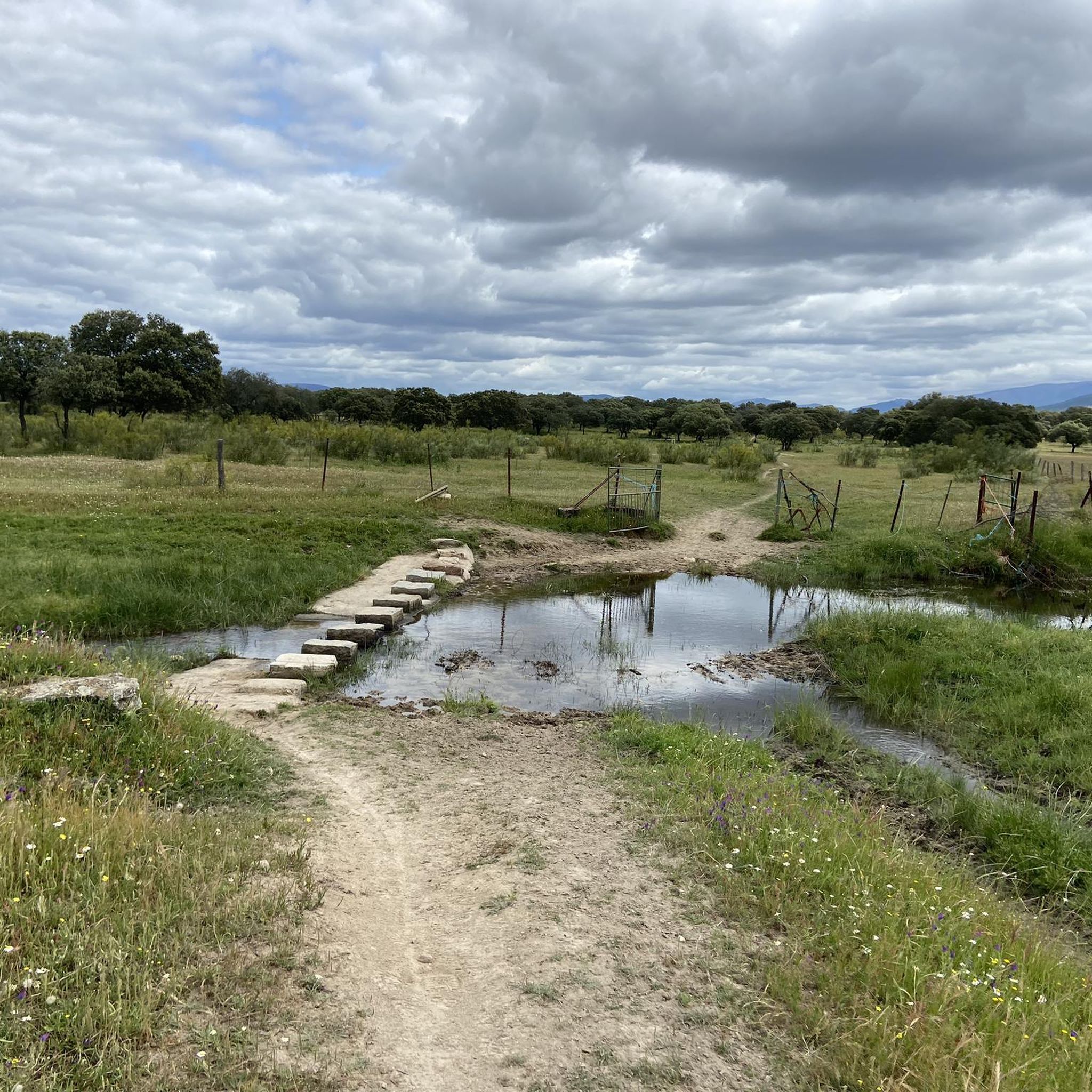
Easy path to follow for as long as you like
1
0

Spectacular views of the Plasencia Reservoir and the valley of the Jerte River below. The path passes next to the river dam.
1
0

A good place to stop and enjoy the view. The Plasencia Reservoir was built in the 80s on the Jerte River.
1
0

On the inner bank of the Jerte River, this panoramic path has been built that allows you to cross it from the dam of the reservoir almost in its entirety after passing through the city of Plasencia. A very crowded itinerary and without any difficulty.
1
1
Located very close to the urban area of Cabezabellosa, this panoramic point offers the best views of the entire Ambroz Valley and beyond. It has been built on a walkway over the cliff that allows a very cool 360 degree panoramic view.
2
0
The reservoir was built on the bed of the Jerte River a few kilometers from the urban center of Plasencia. It is a beautiful place that also has this panoramic path of almost 10 kilometers in length that runs next to it. It is an ideal place to practice sports or have a good time next to the reservoir.
4
0
Frequently Asked Questions
How many hiking trails are available around Villar De Plasencia?
There are over 10 hiking routes in the Villar De Plasencia area, offering a variety of experiences from easy strolls to more challenging ascents. The region features a mix of riverine paths, reservoir loops, and routes leading to scenic viewpoints.
Are there easy hiking trails suitable for beginners in Villar De Plasencia?
Yes, Villar De Plasencia offers several easy hiking routes. For example, the Embalse de Plasencia – Plasencia Reservoir loop from Río Jerte is an easy 6.2 km (3.9 miles) path that takes about 1 hour 38 minutes to complete, perfect for a relaxed walk.
Are there challenging hikes for experienced hikers in Villar De Plasencia?
Yes, for those seeking a more demanding experience, the Plasencia Upstream Riverwalk is a difficult 20.3 km (12.6 miles) trail that can take over 5 hours to complete, offering a significant distance through riverine landscapes.
What kind of natural attractions can I see along the hiking trails?
The region is characterized by its water features. You can explore areas around the Embalse de Plasencia and the Plasencia Reservoir. Some routes also offer views of the View of Embalse de Plasencia and the impressive Gabriel y Galán Dam.
Are there any historical landmarks or points of interest near the hiking routes?
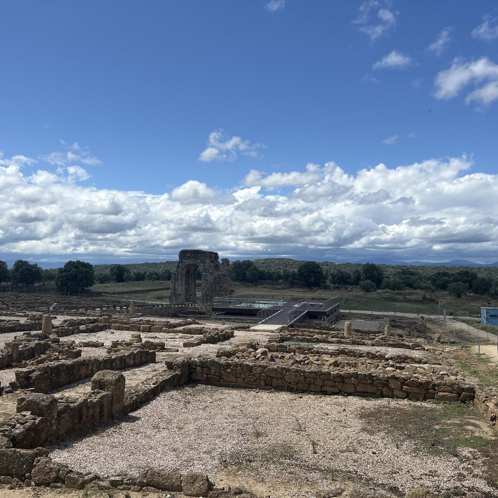
Yes, you can discover ancient Roman heritage in the area. The Arco de Cáparra, a well-preserved Roman arch, is a notable landmark that can be explored. There are also other Roman Arch highlights nearby.
What do other hikers enjoy most about hiking in Villar De Plasencia?
The area is highly rated by the komoot community, with an average score of 4.3 stars from around 15 reviews. Hikers often praise the diverse terrain, from tranquil reservoir loops to paths offering elevated viewpoints, and the well-maintained trails.
Are there circular walking routes available in Villar De Plasencia?
Yes, several routes offer circular options. A popular choice is the Plasencia Reservoir – Embalse de Plasencia loop from Ibarruri - La Esperanza, a moderate 14.0 km (8.7 miles) path that circles the reservoir, providing continuous scenic views.
What is the best time of year to go hiking in Villar De Plasencia?
The spring and autumn months generally offer the most pleasant hiking conditions in this region, with milder temperatures and vibrant natural scenery. Summer can be quite hot, especially in the middle of the day, while winter offers cooler, sometimes crisp, conditions.
Are the hiking trails in Villar De Plasencia suitable for families?
Many of the easier and moderate routes are suitable for families, especially those with older children. The reservoir loops and riverwalks often have gentler gradients. Always check the specific route's distance and elevation gain to ensure it matches your family's ability.
Is it possible to hike with dogs on the trails in Villar De Plasencia?
Generally, dogs are welcome on many of the hiking trails in the region. However, it's always advisable to keep them on a leash, especially in areas with wildlife or near livestock, and to check for any specific local regulations or protected areas that might restrict access.
Are there any long-distance walking options around Villar De Plasencia?
While the guide focuses on day hikes, the region is part of a wider network. The Vía Verde de la Plata, a long-distance cycle and walking path, passes nearby and offers opportunities for extended walks or multi-day adventures.
What are the typical durations for hikes in Villar De Plasencia?
Hike durations vary significantly based on the route's length and difficulty. You can find shorter walks like the Embalse de Plasencia – Plasencia Reservoir loop from Río Jerte at about 1 hour 38 minutes, to longer, more challenging routes such as the Plasencia Upstream Riverwalk which can take over 5 hours.
Most popular routes around Villar De Plasencia
Most popular attractions around Villar De Plasencia

Get inspired with the komoot mobile app


Explore more
Browse the best Hikes in other regions.
