The best road cycling routes around Tresviso
4.4
(19)
1,082
riders
30
rides
Road cycling routes around Tresviso navigate a mountainous landscape within the Picos de Europa National Park, characterized by dramatic ascents and descents. Situated at approximately 900 meters above sea level, the area features winding mountain roads and offers expansive vistas. The terrain includes deep gorges like the Urdón Valley, with dense forests of oak and other tree species. This region presents a challenging environment for road cycling, appealing to experienced riders.
Best road cycling routes around Tresviso
- The most popular…
Last updated: October 5, 2026
5.0
(3)
138
riders
61.3km
03:51
1,710m
1,710m
Hard road ride. Very good fitness required. Mostly well-paved surfaces and easy to ride.
4.0
(1)
46
riders
101km
05:07
1,660m
1,660m
Hard road ride. Very good fitness required. Mostly well-paved surfaces and easy to ride.

42
riders
108km
06:14
2,450m
2,450m
Hard road ride. Very good fitness required. Mostly well-paved surfaces and easy to ride.
17
riders
46.2km
02:19
720m
720m
Moderate road ride. Good fitness required. Mostly well-paved surfaces and easy to ride.
15
riders
64.7km
04:01
1,750m
1,750m
Hard road ride. Very good fitness required. Mostly well-paved surfaces and easy to ride.
Get access to more routes and recommendations from other explorers.
Already have an account?
Our route recommendations are based on thousands of hikes, rides, and runs completed by other people on komoot.
Start today with a free account
Your next adventure awaits.
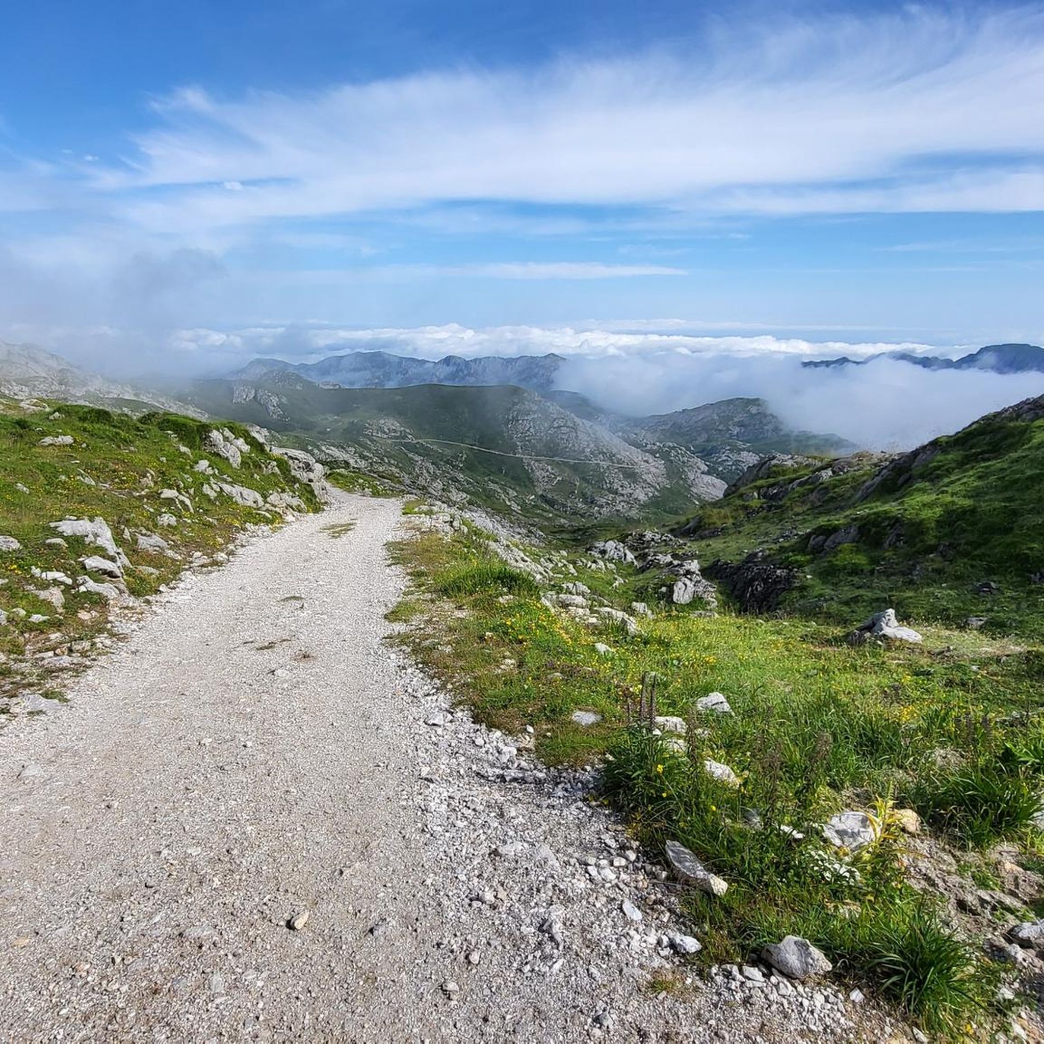
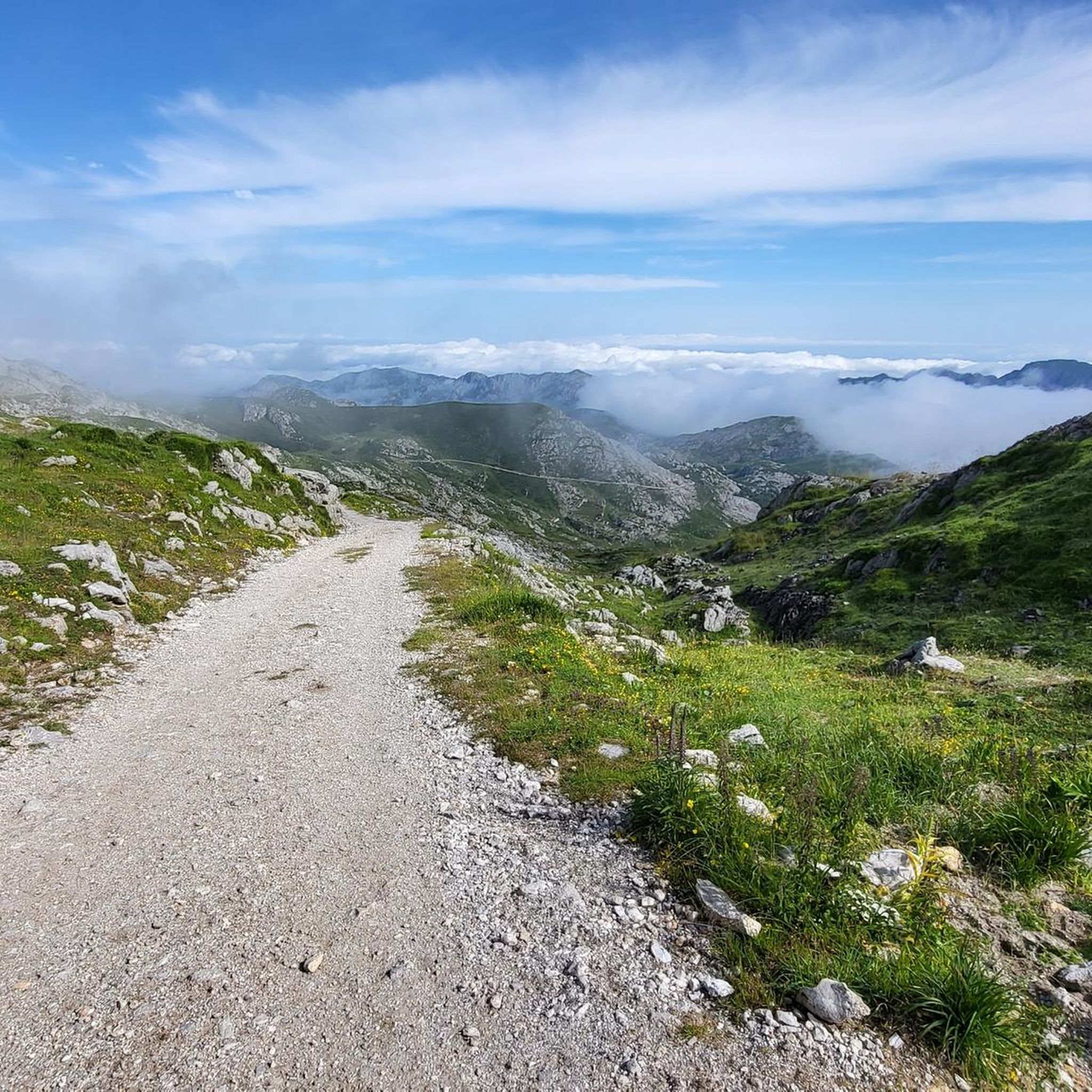
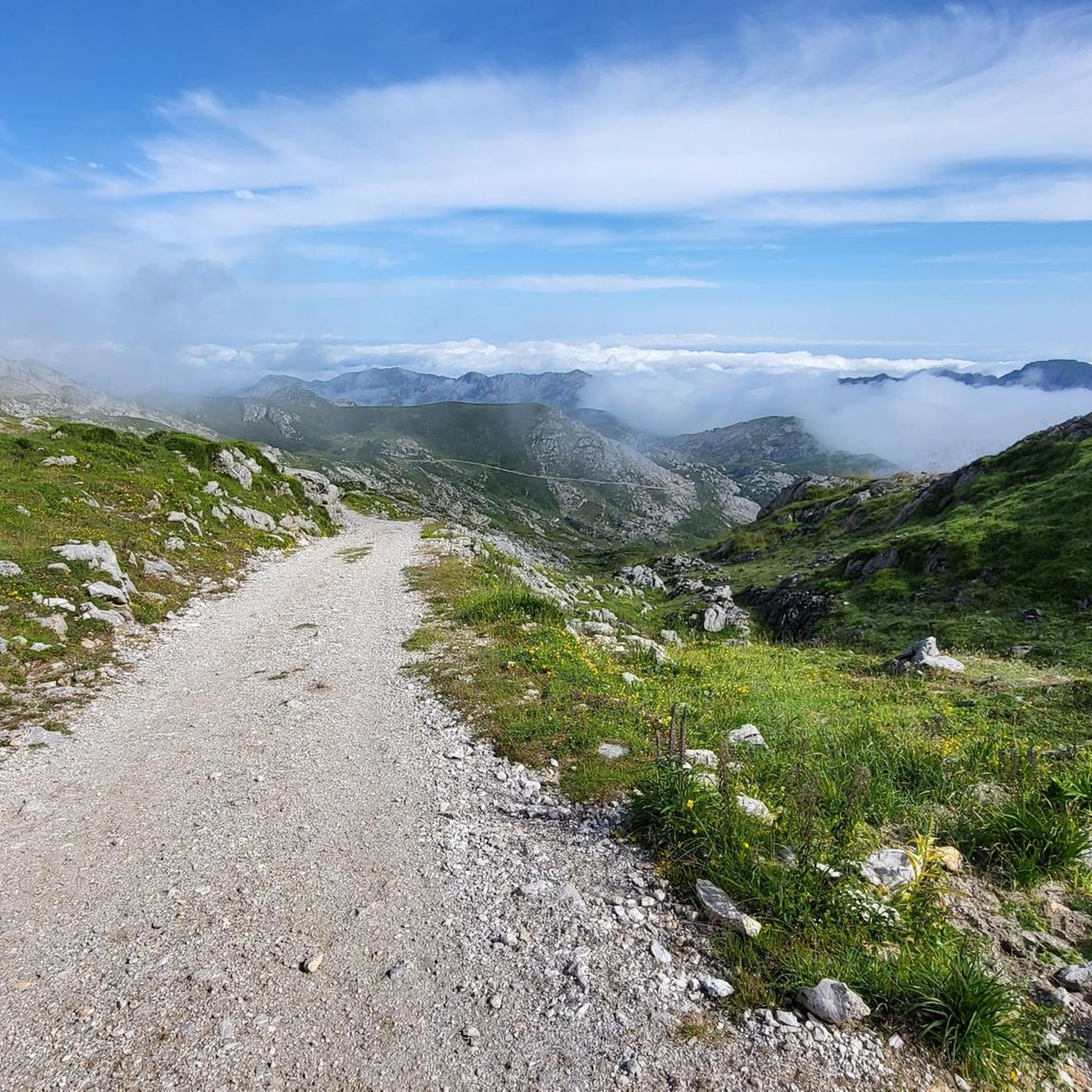
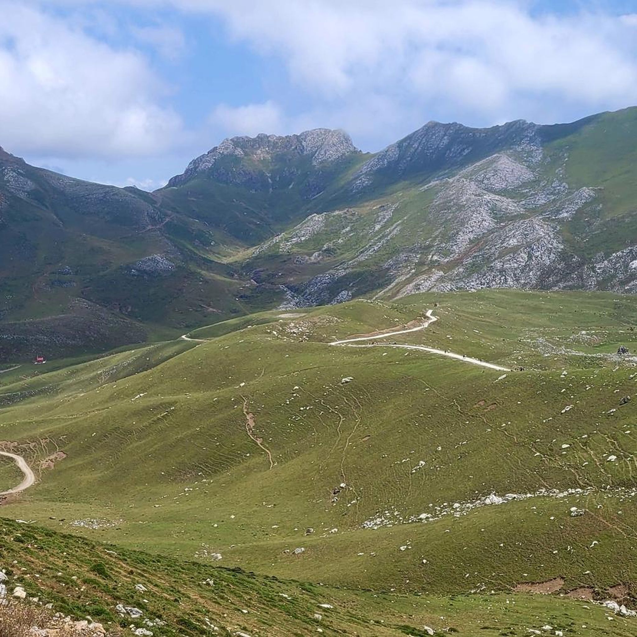

Tips from the Community

Beautiful village between mountains
0
0

Poncebos is one of the main epicenters of nature and hiking tourism in the Picos de Europa National Park, located in the municipality of Cabrales, Asturias. This small mountain settlement serves as the gateway to some of the most iconic landscapes and routes in the entire Cantabrian Cornice. Although its residential area is small, its hospitality and transport infrastructure welcomes thousands of visitors each year. Main Attractions and Routes Ruta del Cares: Poncebos is the Asturian starting (or ending) point of this famous 12-kilometer gorge that connects with Caín, in León. The gorge offers impressive vertical rock scenery. Bulnes Funicular: An underground rack railway that crosses the entrails of Peña Maín. It overcomes an elevation difference of 400 meters to connect Poncebos with the isolated alpine village of Bulnes in just 7 minutes. Canal del Tejo: The traditional mountain path that linked Poncebos with Bulnes before the arrival of the funicular in 2001. It is a winding and demanding route, ideal for experienced hikers. Camarmeña and its Viewpoint: A small hamlet located just above Poncebos, from whose viewpoint you can get privileged views of the iconic Pico Urriellu (Naranjo de Bulnes).
0
0
Spectacular climb with the river alongside
0
0
The fastest way to reach the Cabrales locality of Bulnes is by taking the funicular, operational since 2001, which covers a distance of 2,227 km.
0
0

Wonderful spot on earth. Only parking on weekends is critical.
0
0

A town with a lively and very pleasant atmosphere, where you can feel both peace and adventure.
0
0

Spectacular landscapes. The cable car ride also offers beautiful views. I visited/walked around there and loved it, I recommend it.👍🥾
0
0
Spectacular setting for a break and a coffee
0
0
Frequently Asked Questions
What is the general difficulty level of road cycling routes around Tresviso?
Road cycling around Tresviso is primarily challenging, characterized by dramatic ascents and descents within the Picos de Europa National Park. Out of 25 available routes, 18 are rated as difficult, and 7 are moderate. There are no easy routes, making it best suited for experienced riders seeking a demanding experience.
Are there any family-friendly road cycling routes in the Tresviso area?
Given the mountainous terrain and the prevalence of difficult and moderate routes, the Tresviso area does not offer specific family-friendly road cycling options. The routes are generally challenging, with significant elevation changes, making them more suitable for experienced adult cyclists.
Can I bring my dog on road cycling routes in the Picos de Europa National Park near Tresviso?
While the Picos de Europa National Park is generally welcoming to dogs, specific rules apply, especially regarding protected wildlife and livestock. For road cycling, it's important to keep dogs leashed and under control, particularly on roads where traffic may be present. Always check the latest park regulations before your visit, as the challenging terrain around Tresviso might not be ideal for cycling with pets.
What kind of views and landscapes can I expect on road cycling routes near Tresviso?
Road cycling routes around Tresviso offer expansive and impressive vistas of the Picos de Europa National Park. You'll encounter deep gorges like the Urdón Valley, dense forests of oak, and winding mountain roads. From higher points, such as those on the Historic center of Potes – San Glorio Pass loop from Peñarrubia, you can enjoy extensive views of the surrounding peaks.
Are there any notable landmarks or attractions along the road cycling routes?
While the routes themselves offer stunning natural beauty, you can find interesting points nearby. For instance, the Urdón Valley features the Urdón to Tresviso Trail, known for its scenic beauty. Other attractions in the broader area include the impressive Cares Gorge (Garganta Divina) and various mountain huts like the Vega de Urriellu Refuge, though these are typically accessed via hiking trails.
What is the best time of year for road cycling in Tresviso?
The best time for road cycling in Tresviso is generally during the warmer months, from late spring to early autumn (May to October), when the weather is more stable and mountain passes are clear of snow. Given Tresviso's high altitude (around 900 meters), conditions can change rapidly, so always check the local forecast before heading out.
Are there any loop routes available for road cycling around Tresviso?
Yes, many of the road cycling routes around Tresviso are designed as loops. For example, the Sotres – Arenas de Cabrales loop from Peñamellera Alta and the Arenas de Cabrales – Salmon Sculpture Viewpoint loop from Peñarrubia are popular options that allow you to start and finish in the same location.
What amenities are available in Tresviso village for cyclists?
Tresviso is a remote and tranquil village, known for its peace and disconnection. While it offers a charming setting with traditional stone houses, amenities like grocery stores, cafes, or pubs are very limited. It's advisable for cyclists to carry sufficient supplies and plan their routes accordingly, as options for refreshments or repairs are scarce.
Is parking available for road cyclists in Tresviso or nearby starting points?
Parking in Tresviso village itself can be limited due to its remote and compact nature. For many of the longer road cycling routes, starting points are often in larger nearby towns or villages outside Tresviso, such as Peñamellera Alta or Peñarrubia, where more dedicated parking options might be available. Always check specific route details for recommended starting and parking locations.
How long do road cycling routes around Tresviso typically take to complete?
The duration of road cycling routes around Tresviso varies significantly based on distance, elevation, and your fitness level. For example, the Sotres – Arenas de Cabrales loop from Peñamellera Alta, a 61.4 km difficult route, typically takes around 3 hours 52 minutes. Longer routes, like the 107.4 km Historic center of Potes – San Glorio Pass loop from Peñarrubia, can take over 6 hours.
What do other road cyclists say about the routes in Tresviso?
The road cycling routes around Tresviso are highly rated by the komoot community, with an average score of 4.9 stars from over 10 reviews. Cyclists often praise the challenging nature of the terrain, the stunning mountain vistas, and the immersive experience within the Picos de Europa National Park.
Are there any permits required for road cycling in the Picos de Europa National Park?
Generally, no specific permits are required for road cycling on public roads within the Picos de Europa National Park. However, it's always good practice to respect park regulations, especially concerning protected areas, wildlife, and private property. If you plan to venture off paved roads onto trails, different rules may apply.
Most popular attractions around Tresviso

Get inspired with the komoot mobile app


Explore more
Browse the best Road cycling routes in other regions.
