The best walks and hikes around Vilagarcía De Arousa
4.4
(535)
4,126
hikers
18
hikes
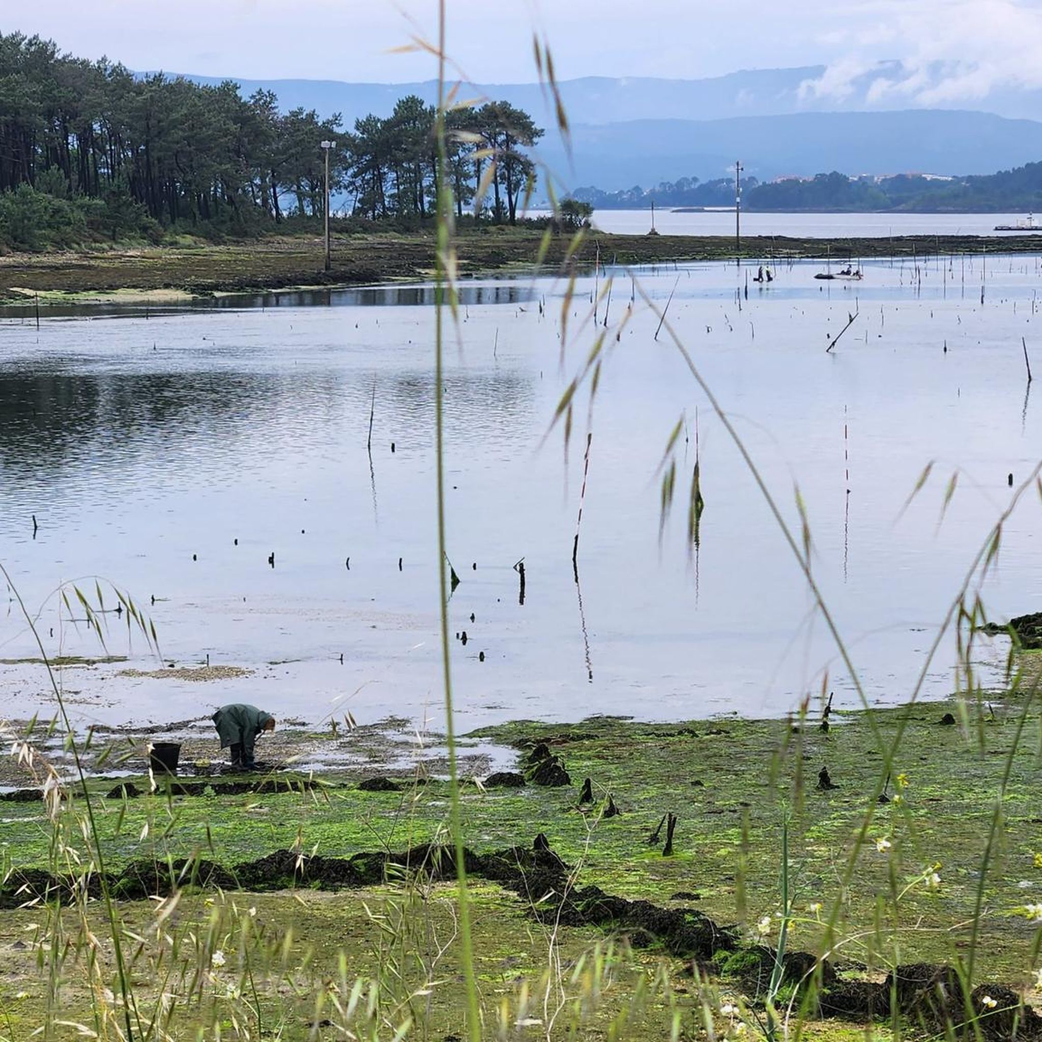
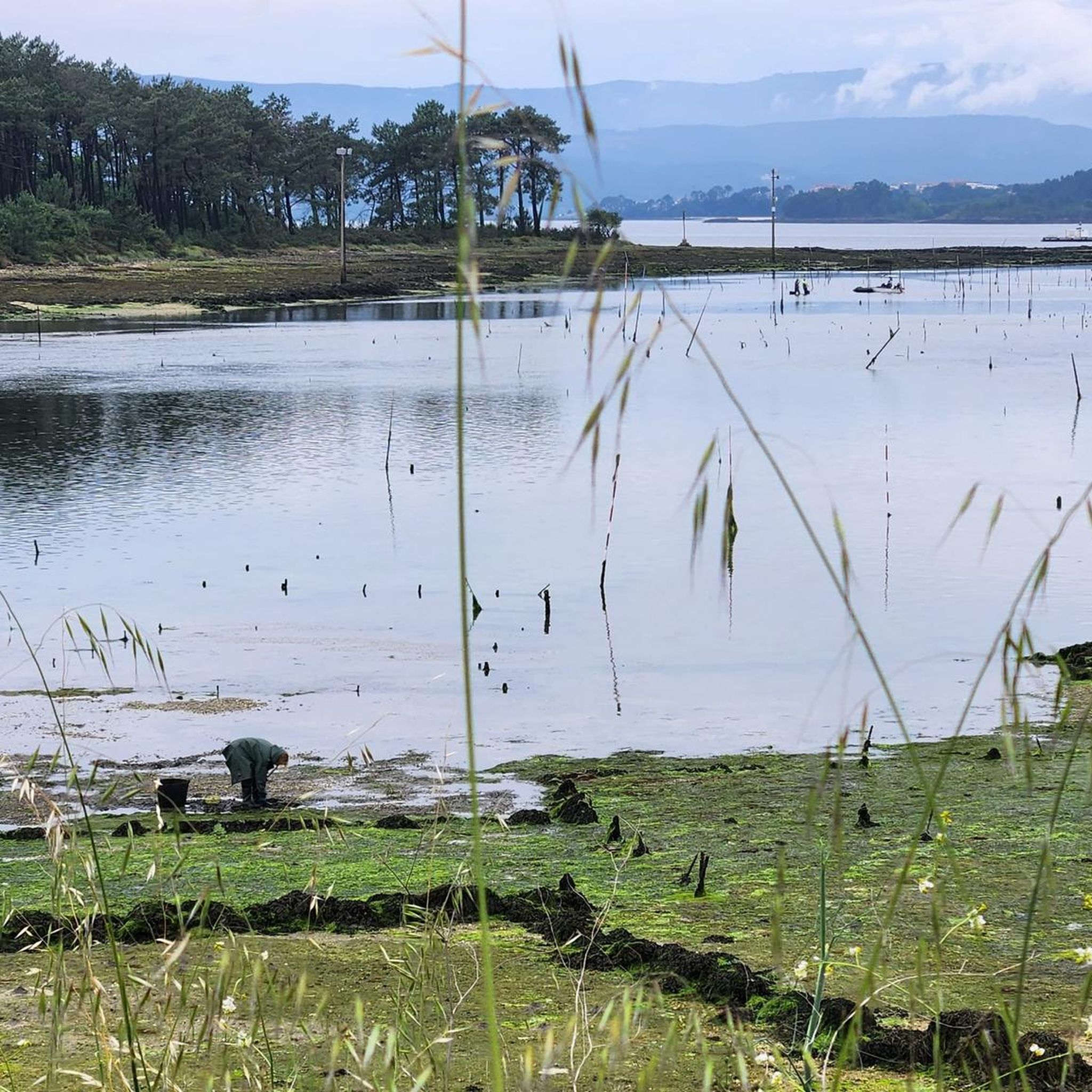
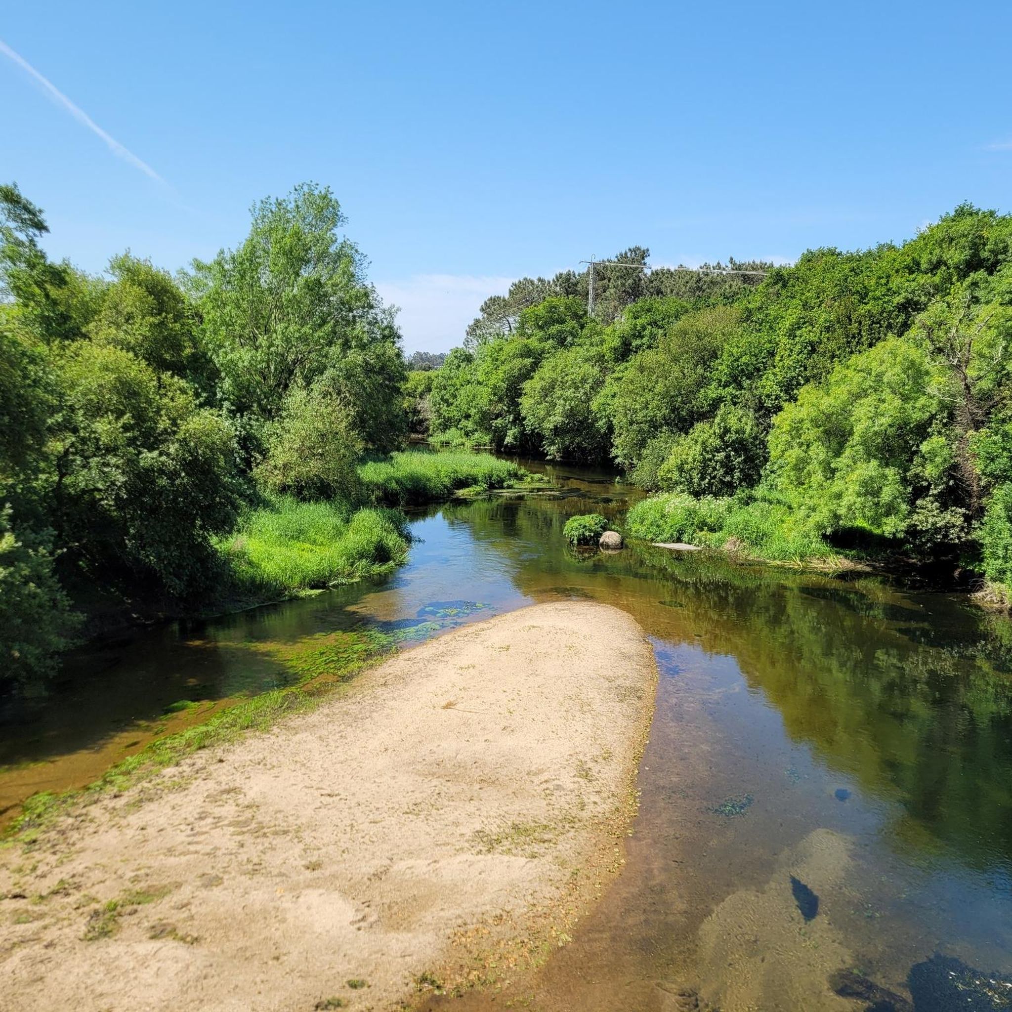
Hiking around Vilagarcía De Arousa offers diverse landscapes, from coastal paths along the Ría de Arousa to trails ascending hills like Monte Lobeira and Xiabre Mountain. The region features a mix of maritime scenery, river valleys, and forested areas. These natural features provide varied terrain for outdoor activities, including routes through pine forests and along estuaries. The area's topography includes both gentle coastal walks and more challenging ascents to viewpoints.
Best hiking trails around Vilagarcía De Arousa
- The most popular hiking route is Vilagarcía Marina – Bennett Beach loop from Vilagarcía de Arousa, an 8.5 miles (13.7 km) trail that takes 3 hours 32 minutes to complete. This moderate route offers views of the marina and coastal areas.
- Another top favourite among local hikers is Azucarera de Portas loop from Vilagarcía de Arousa, a moderate 10.1 miles (16.3 km) path. This trail leads through inland scenery, providing views of the river and ría.
- Local hikers also love the Vilagarcía Marina – Port of Vilagarcía de Arousa loop from Vilagarcía de Arousa, an 8.0 miles (12.9 km) trail leading through coastal and port areas, often completed in about 3 hours 18 minutes.
- Hiking around Vilagarcía De Arousa is defined by coastal paths, river valleys, and forested hills, with options for different ability levels.
- The routes in Vilagarcía De Arousa are highly rated by the komoot community with an average score of 4.4 stars from over 600 reviews. More than 4000 hikers have used komoot to explore Vilagarcía De Arousa's varied terrain.
Last updated: August 18, 2026
4.4
(5)
36
hikers
Hard hike. Very good fitness required. Easily-accessible paths. Suitable for all skill levels.
2.5
(2)
18
hikers
18.9km
04:51
90m
90m
Moderate hike. Good fitness required. Easily-accessible paths. Suitable for all skill levels.

Sign up for free
3.5
(2)
16
hikers
13.6km
03:30
70m
70m
Moderate hike. Good fitness required. Easily-accessible paths. Suitable for all skill levels.
17
hikers
Moderate hike. Good fitness required. Easily-accessible paths. Suitable for all skill levels.
18
hikers
19.8km
05:08
120m
120m
Hard hike. Very good fitness required. Easily-accessible paths. Suitable for all skill levels.
Get access to more routes and recommendations from other explorers.
Sign up for free
Already have an account?
Our route recommendations are based on thousands of hikes, rides, and runs completed by other people on komoot.
Start today with a free account
Your next adventure awaits.
Login or Signup

Tips from the Community

You can leave your souvenir here. But please no rubbish
5
0
Nice bar with large terrace and overnight accommodation
7
0

Beautiful pedestrian bridge to Vilanova de Arousa on the Way of St. James.
4
0
Tickets for the "Translatio" can be purchased here. The boat trip to Padron currently costs 25 euros (October 2023). Free coffee and cake are offered on the trip. Departure times vary depending on the tide.
4
0
New and clean hostal with double rooms. Very attentive staff. Small meals and breakfast at fair prices. Washing machine and dryer available.
4
0

Promenade next to the port and marina of Vilagarcia. Public recreational area. Easy access to parking, outdoor sports equipment, restrooms, and drinking fountains
1
0
View of the marina from the boardwalk. Good place to have a coffee or a drink after the bike ride. Curious fact: Petroglyphs from the second millennium before Christ, suggest that Vilagarcía was inhabited since prehistoric times; however, the current town has its origins in the fifteenth century
1
0

in this small chapel we were given shelter when the weather was bad.
3
0
Frequently Asked Questions
What types of landscapes can I expect to see while hiking in Vilagarcía de Arousa?
Vilagarcía de Arousa offers a diverse range of landscapes, from picturesque coastal paths along the Ría de Arousa to trails ascending hills like Monte Lobeira and Xiabre Mountain. You'll find a mix of maritime scenery, lush river valleys, and forested areas, including pine forests and trails along estuaries. The region's topography provides options for both gentle coastal walks and more challenging ascents to viewpoints.
Are there any easy hiking trails suitable for beginners or families in Vilagarcía de Arousa?
Yes, there are several easy routes. For a pleasant riverside stroll, consider the Stone and Water Route (Armenteira River Trail), which is easily walkable and showcases a well-maintained natural environment. Another option is the Valga River Forest Trail, known for its unique tree gallery. These trails are generally less challenging and suitable for a relaxed outing. Overall, there are 4 easy routes available in the region.
Can I find any circular hiking routes in Vilagarcía de Arousa?
Yes, many of the trails in Vilagarcía de Arousa are circular, offering convenient starting and ending points. For example, the Vilagarcía Marina – Port of Vilagarcía de Arousa loop from Vilagarcía de Arousa is a moderate 12.9 km route that takes you through coastal and port areas. Another popular option is the Azucarera de Portas loop from Vilagarcía de Arousa, a 16.3 km moderate path leading through inland scenery.
Are there any hiking trails that feature waterfalls in the Vilagarcía de Arousa area?
Yes, the region boasts beautiful natural features including waterfalls. You can explore trails that lead to the Barosa Waterfall and Mills, a notable attraction. There's also a Small Waterfall Between the Mills, offering picturesque spots for hikers.
What are some notable viewpoints or landmarks I can discover on hikes around Vilagarcía de Arousa?
Many trails offer stunning viewpoints and access to historical landmarks. Hiking to the summit of Monte Lobeira provides panoramic views of the Ría de Arousa and distant islands. Xiabre Mountain also offers extraordinary views of the river, ría, and sea. Along the Con Riverside Park, you can find historical elements like the A Coca fountain and remains of old waterwheels. The Santa Mariña de Carracedo Church is a Romanesque site historically connected to pilgrims on the Camino de Santiago.
What do other hikers enjoy most about the trails in Vilagarcía de Arousa?
The hiking trails in Vilagarcía de Arousa are highly rated by the komoot community, with an average score of 4.4 stars from over 600 reviews. Hikers often praise the diverse scenery, which includes coastal paths, river valleys, and forested hills, as well as the variety of options available for different ability levels.
Are there any dog-friendly hiking trails in Vilagarcía de Arousa?
Many of the natural trails and coastal paths in Vilagarcía de Arousa are suitable for walking with dogs, provided they are kept under control. Areas like the Con Riverside Park and the trails within Carreirón Natural Park on Isla de Arousa offer open spaces and natural environments that are generally welcoming for pets. Always ensure to follow local regulations regarding dogs in public areas and natural parks.
What is the best time of year to go hiking in Vilagarcía de Arousa?
Vilagarcía de Arousa is suitable for hiking throughout much of the year due to its mild coastal climate. Spring and autumn offer pleasant temperatures and lush scenery, making them ideal. Summer can be warm, especially for inland trails, but coastal walks benefit from sea breezes. Winter hiking is also possible, with generally mild conditions, though some trails might be wetter.
Are there any trails that connect to the Camino de Santiago in this region?
Yes, Vilagarcía de Arousa is connected to the Camino de Santiago. Some hiking routes in the area are part of or connect to the Pilgrim Walk, including the Spiritual Variant. The Santa Mariña de Carracedo Church is a Romanesque site historically linked to pilgrims.
Where can I find parking for hiking trails in Vilagarcía de Arousa?
Parking availability varies by trailhead. For coastal routes starting near the town, you can often find public parking in Vilagarcía de Arousa itself, particularly near the marina or port areas. For trails leading to natural parks or mountains like Monte Lobeira or Xiabre, designated parking areas are usually available at the main access points. It's advisable to check specific route details for recommended parking spots.
Are there any longer, more challenging hikes available in Vilagarcía de Arousa?
Yes, for those seeking a more challenging experience, there are difficult routes available. An example is the Vilagarcía Marina – Bennett Beach loop from O Campanario, which is a 22.0 km difficult trail. These longer routes often feature more significant elevation changes and cover greater distances, providing a rewarding challenge for experienced hikers.
What are some other attractions near the hiking trails in Vilagarcía de Arousa that I can visit?
Beyond the trails, Vilagarcía de Arousa offers several attractions. You can visit the historic Pazo de Rubianes, known for its impressive gardens and vineyards, or the 17th-century Vista Alegre Convent and Mansion. The Enrique Valdés Bermejo Botanical Garden is also a rich botanical site. For more information on parks and gardens, you can visit visitvilagarcia.com.
Most popular routes around Vilagarcía De Arousa
Most popular attractions around Vilagarcía De Arousa

Get inspired with the komoot mobile app


Explore more
Browse the best Hikes in other regions.
