The best running trails around Boñar
158
runners
19
runs
Jogging around Boñar offers diverse terrain within the province of León, Spain. The region is characterized by majestic mountains, crystalline rivers, and extensive networks of trails, providing varied options for runners. Dense forests like Pardimino and green meadows along the Porma River offer natural settings for runs. The landscape includes accessible paths around the Porma Dam and routes leading to natural features such as the Nocedo Waterfall.
Best jogging routes around Boñar
- The most popular jogging route is La Cervatina…
Last updated: May 16, 2026
7
runners
15.0km
01:45
390m
390m
Hard run. Very good fitness required. Mostly paved surfaces. Suitable for all skill levels.
4
runners
8.91km
01:06
200m
200m
Moderate run. Good fitness required. Mostly paved surfaces. Suitable for all skill levels.

Sign up for free
3
runners
Moderate run. Good fitness required. Mostly paved surfaces. Suitable for all skill levels.
8.81km
01:16
380m
380m
This difficult 5.5-mile (8.8 km) jogging trail in Parque Regional Montaña de Riaño y Mampodre offers great views of Lois and its "Catedral d
18
runners
20.0km
02:27
650m
650m
Hard run. Very good fitness required. Mostly paved surfaces. Suitable for all skill levels.
Get access to more routes and recommendations from other explorers.
Sign up for free
Already have an account?
Our route recommendations are based on thousands of hikes, rides, and runs completed by other people on komoot.
Start today with a free account
Your next adventure awaits.
Login or Signup
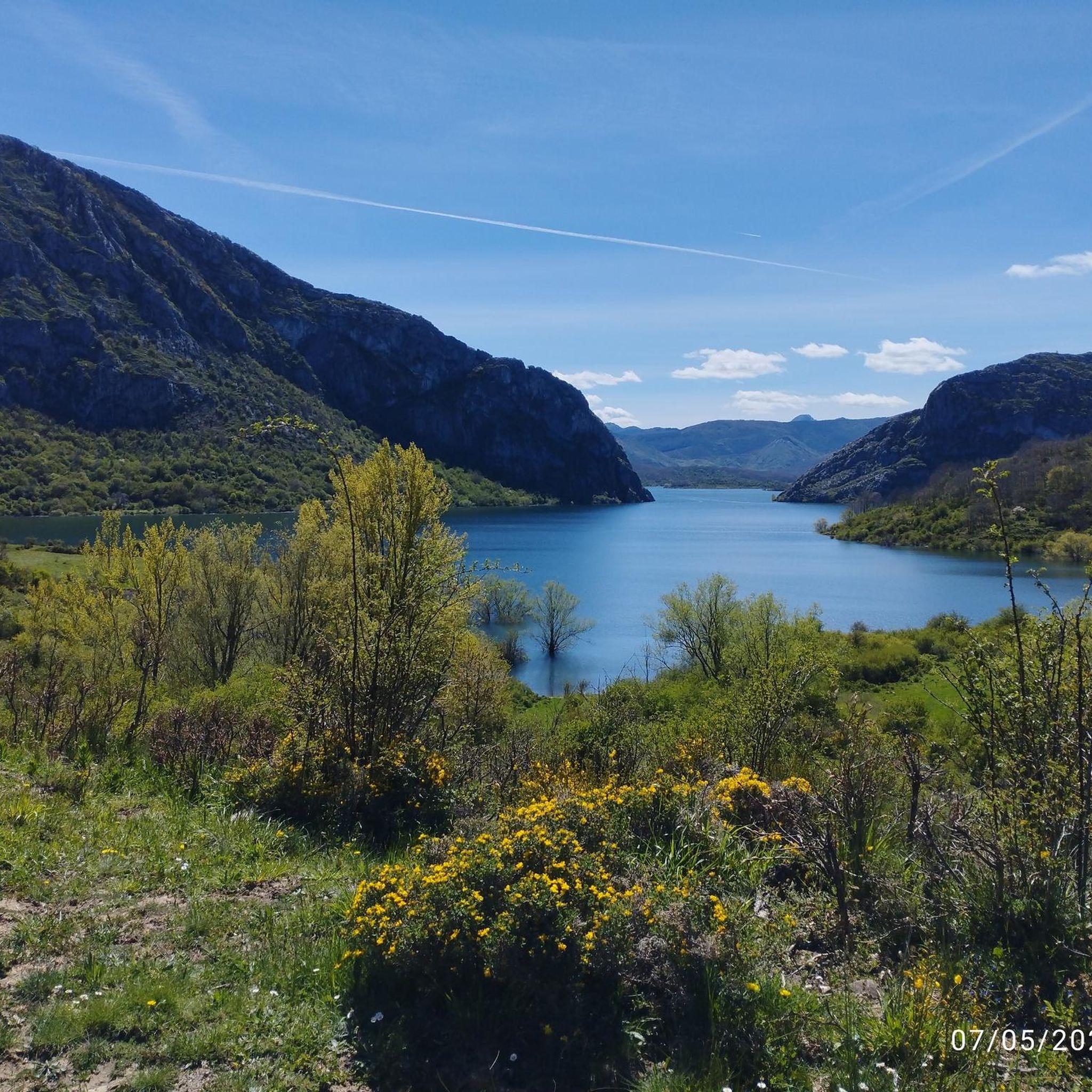
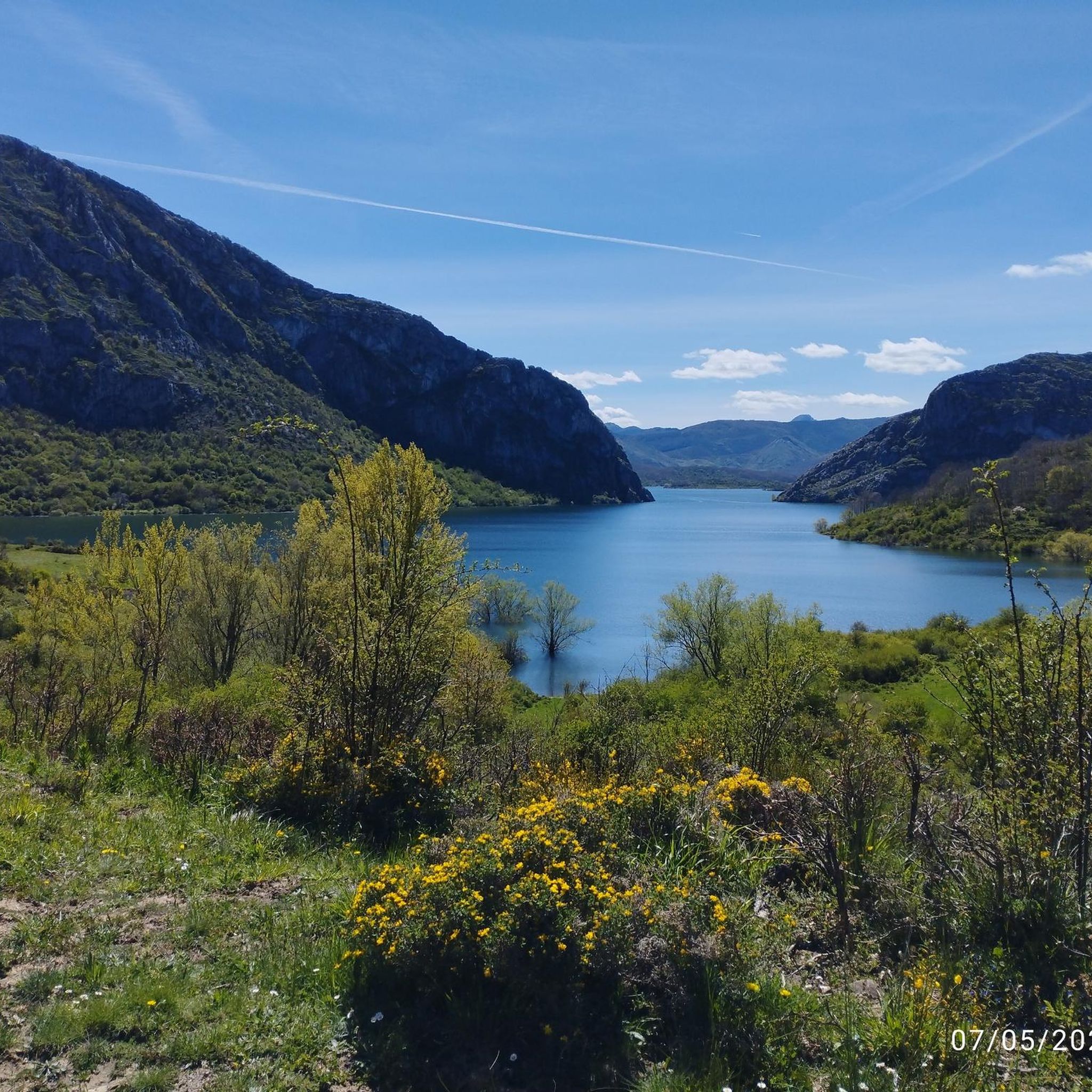
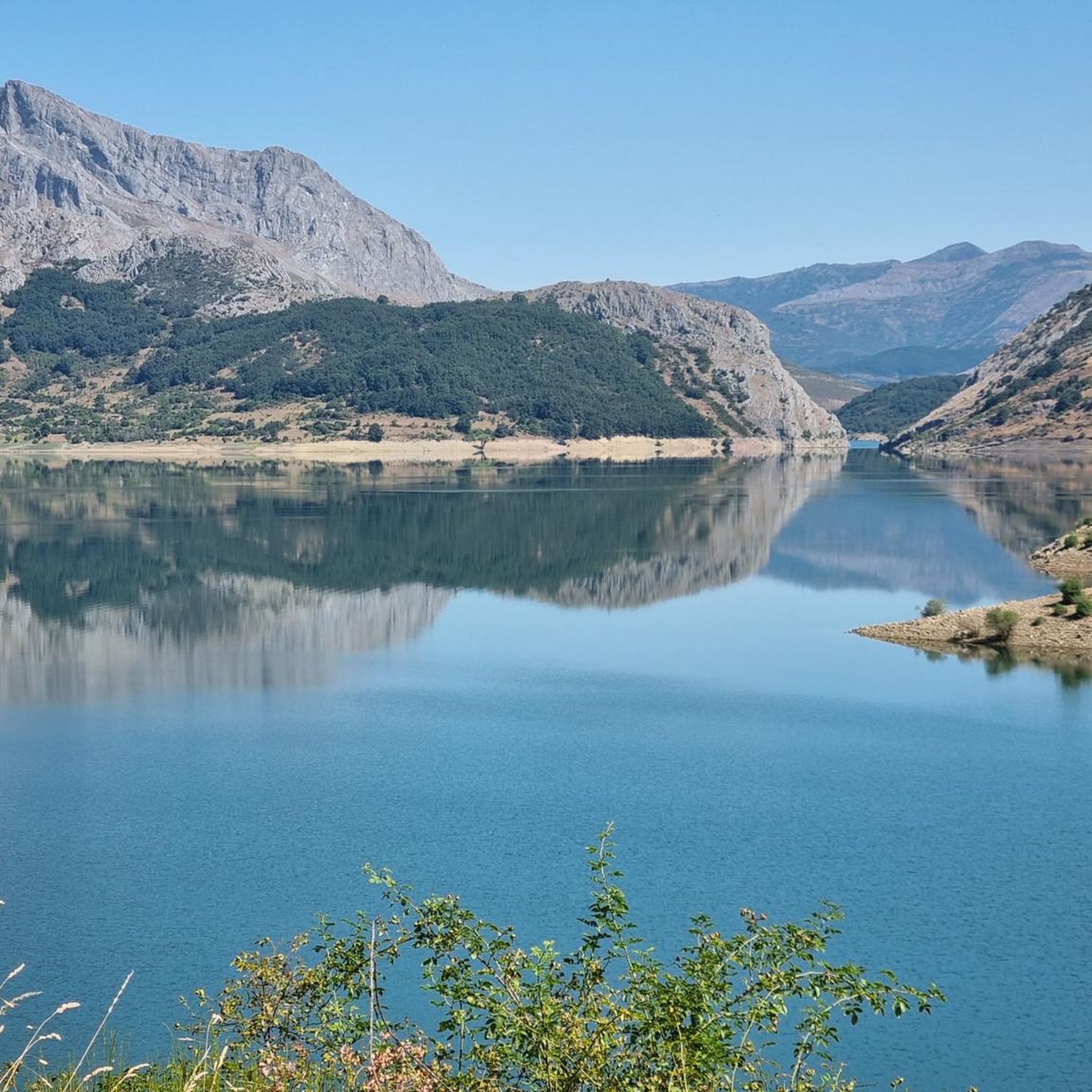
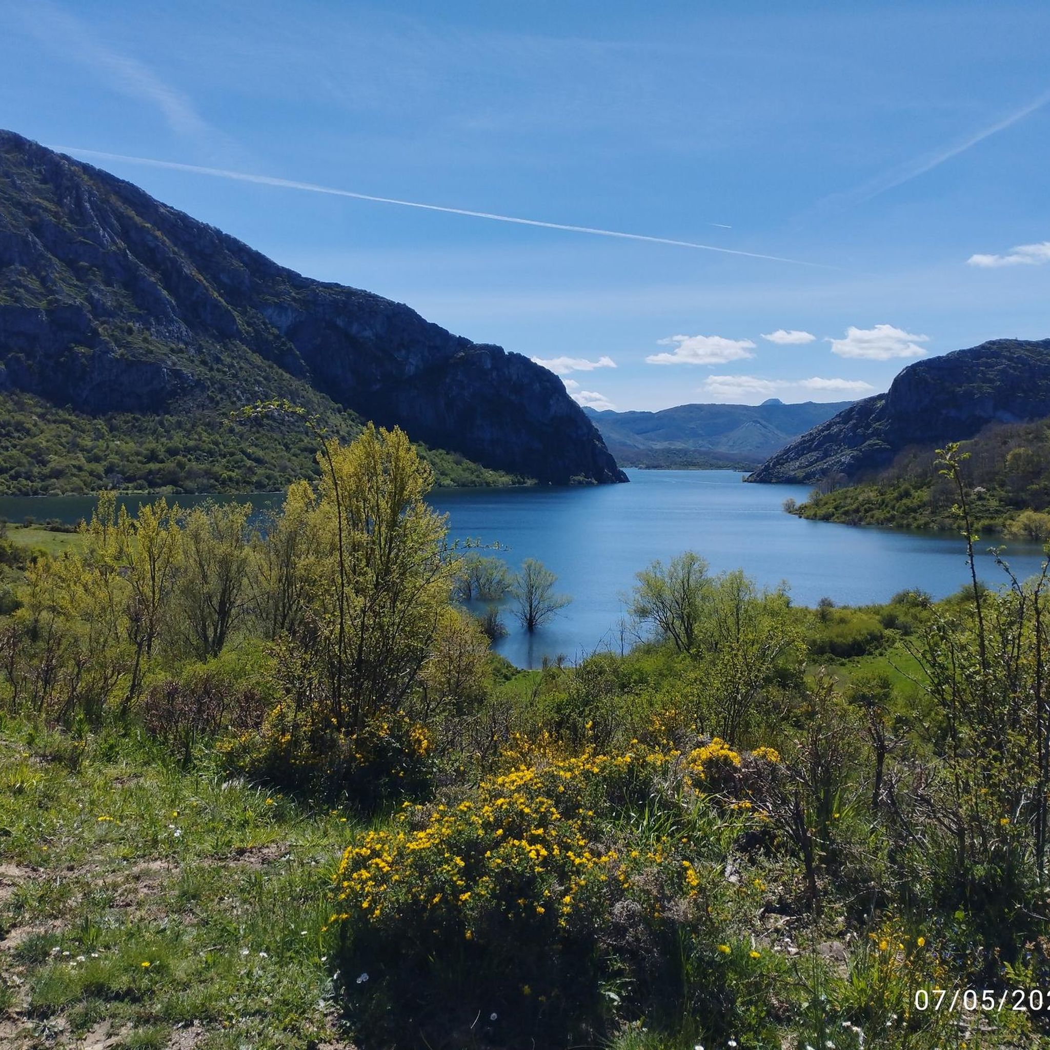
Tips from the Community

Nocedo Waterfall, also known as Cola de Caballo Waterfall, is one of the most accessible and spectacular natural spots in the Central León Mountains, located near Nocedo de Curueño, in the municipality of Valdepiélago. Approximately 4 meters high, it was formed by the Valdecésar stream as it negotiates a steep drop on its way to the Curueño River.
4
0
The Hermitage of San Froilán, located at the top of Peña de Valdorria (municipality of Valdepiélago, León), is one of the most emblematic and spiritual places in the León mountains. It stands at an altitude of 1,430 meters, perched among cliffs, and is accessed via a steep staircase with 365 steps carved into the rock, one for each day of the year.
4
0

It is 50 meters from the road. It is accessed by some footbridges. Bike on the shoulder Please be calm: be discreet
0
0

The Susarón peak with its 1878 meters majestically observes us during our journey through these valleys.
1
0
Beautiful town in the mountains of Leon. Its medieval tower and its good local gastronomy are remarkable.
1
0

Running along a wide forest track, we come across some splendid views of the Susarón peak.
1
1
Beautiful views of the town of Puebla de Lillo when we run along the picturesque path PR LE-28 of the Ruta de la Cervatina next to the Silvan river.
1
1
Running along the route of the Mines we find this beautiful viewpoint. This is the Esla viewpoint, which offers wonderful views of Aleje and Alejico and the surrounding mountains.
1
1
Frequently Asked Questions
How many running routes can I explore around Boñar?
Boñar offers a diverse network of over 20 running routes, catering to various preferences and fitness levels. These trails allow you to discover the region's majestic mountains, crystalline rivers, and dense forests.
Are there easy running routes suitable for beginners in Boñar?
While many routes in Boñar are moderate to difficult, the region does offer accessible paths suitable for beginners. For instance, the surroundings of the Porma Dam provide pleasant, accessible paths. Additionally, the unique 'Ruta del Agua' offers an urban trail experience along fountains and streams, which can be a good option for a gentler run.
Can I find circular running trails in Boñar?
Yes, Boñar features several excellent circular running trails. A popular choice is La Cervatina – running circular from Puebla de Lillo (PR-LE 28), a challenging 9.3-mile route. Another favorite is Ruta de las Minas – running circular from Sabero (CR-6), a moderate 5.5-mile path exploring historical mining landscapes.
Are there any running routes that pass by waterfalls in Boñar?
Absolutely! The region is home to beautiful natural features. You can enjoy a run that takes you past the spectacular Nocedo Waterfall (also known as Cola de Caballo Waterfall). The route Ermita de San Froilán y Cascada de Valdecesar - trail running desde Valdorria por el Bosque de las Hadas specifically leads through the 'Forest of the Fairies' and past the Valdecesar Waterfall.
What kind of scenic views can I expect on running routes in Boñar?
Boñar's running routes offer breathtaking scenic views, from majestic mountains and lush forests to serene river valleys. You can enjoy extensive vistas from viewpoints like Los Rejos Viewpoint, or experience tranquil runs through the Pardimino Forest and along the Porma River. More challenging routes may lead to peaks such as Susarón Peak (1,878 m), offering panoramic landscapes.
Are there any running trails in Boñar that are suitable for families?
For families, routes with gentler terrain and accessible paths are ideal. While specific 'family-friendly' routes are not explicitly categorized, the accessible paths around the Porma Dam and the urban 'Ruta del Agua' offer less strenuous options that could be enjoyed by families looking for a leisurely jog or walk.
Can I bring my dog on the running trails in Boñar?
Many outdoor trails in natural areas like Boñar are generally dog-friendly, especially those away from urban centers. However, it's always recommended to keep your dog on a leash and be mindful of local regulations, especially in protected areas or near livestock. The extensive network of trails through forests and meadows provides ample space for you and your canine companion to enjoy a run.
What are some notable landmarks or points of interest along the running routes?
Beyond the natural beauty, you can encounter several interesting landmarks. The Nocedo Waterfall is a spectacular natural monument. For those interested in history, the 'Ruta de las Minas' explores the region's mining heritage. You might also find yourself near the Juan Benet Reservoir or pass by various mountain peaks like Peñas Pintas 1983 m., offering stunning views.
What is the best time of year for running in Boñar?
Boñar's diverse landscape makes it suitable for running throughout much of the year. Spring and autumn offer pleasant temperatures and vibrant scenery, ideal for exploring the trails. Summer provides longer daylight hours, though some higher-altitude routes might be preferable for cooler air. Even in winter, some trails remain accessible, especially those at lower elevations or urban paths, offering a unique, tranquil experience amidst the snowy landscapes.
Are there any running routes that are part of a larger historical path?
Yes, the ancient pilgrimage route known as the Camino Olvidado (Forgotten Way) or Camino de la Montaña passes through Boñar. This route offers a more primitive and wild experience through rugged mountains and forests, appealing to those seeking a longer, more immersive running or hiking adventure with historical significance.
How long do the running routes in Boñar typically take to complete?
The duration of running routes in Boñar varies significantly based on their length and difficulty. For example, a moderate 5.5-mile route like Ruta de las Minas might take around 1 hour and 5 minutes. More challenging routes, such as Collada de Lois Trail (PR-LE 18), which is 5.5 miles with significant elevation, could take closer to 1 hour and 16 minutes. Always check the route details for estimated completion times.
What do other runners enjoy most about jogging in Boñar?
Runners frequently praise Boñar for its diverse and impressive natural landscapes. The region's mix of majestic mountains, crystalline rivers, and extensive trail networks provides a picturesque backdrop for any outdoor enthusiast. Many appreciate the variety of paths, from tranquil runs through lush forests like Pardimino to more challenging mountain routes with rewarding views.
Most popular attractions around Boñar

Get inspired with the komoot mobile app


Explore more
Browse the best Running Trails & Routes in other regions.
